
Search for another town


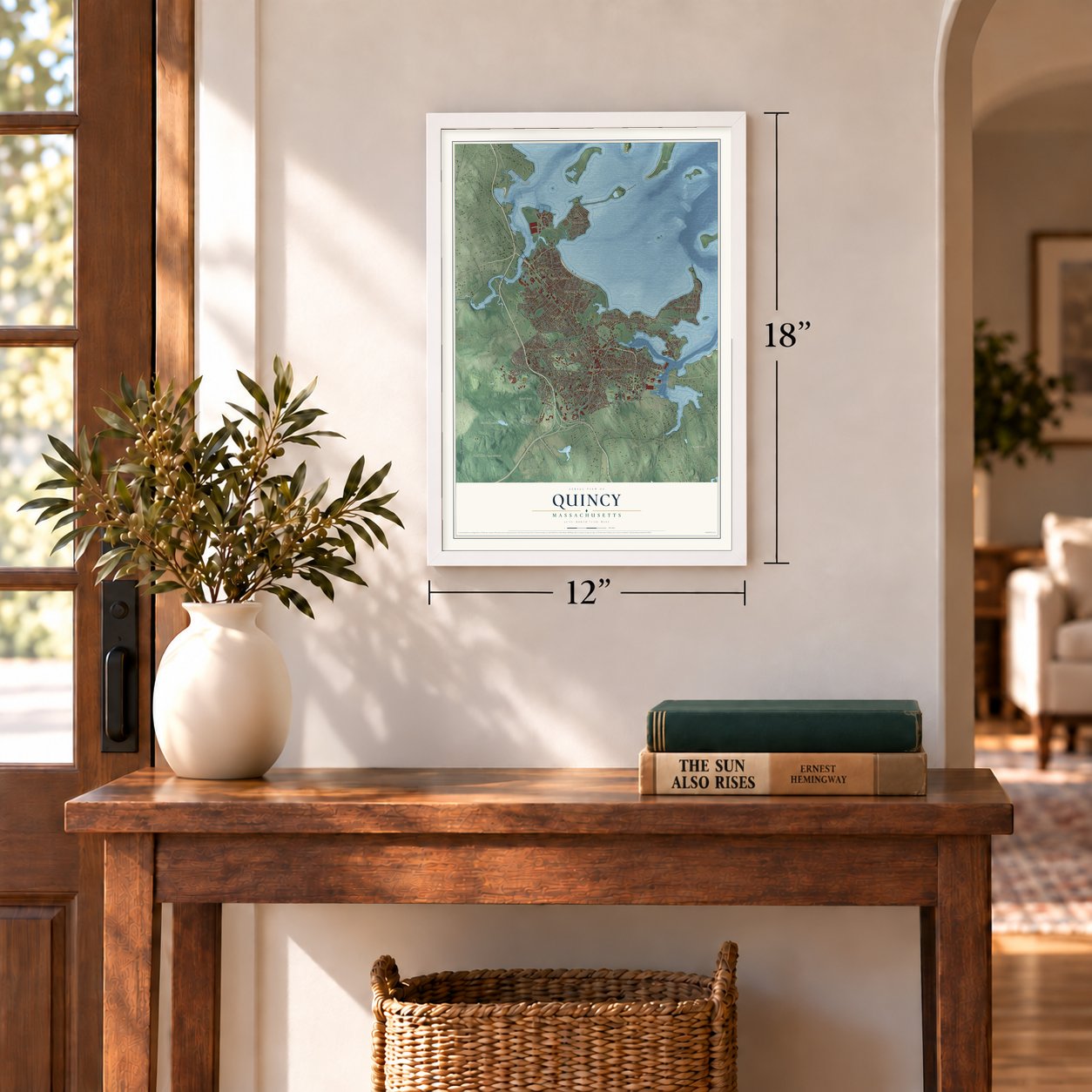
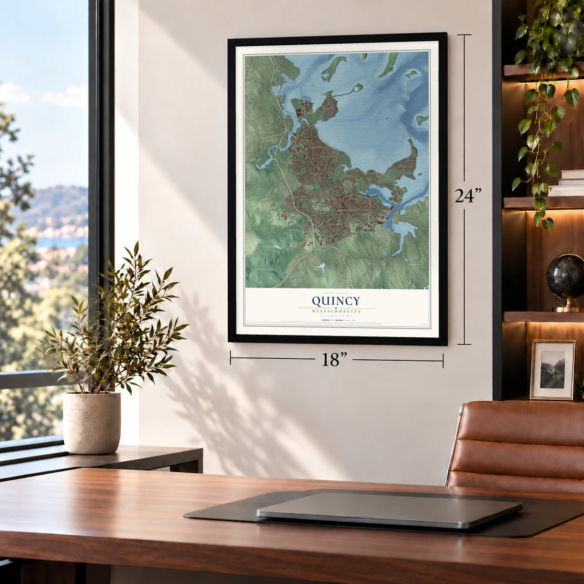
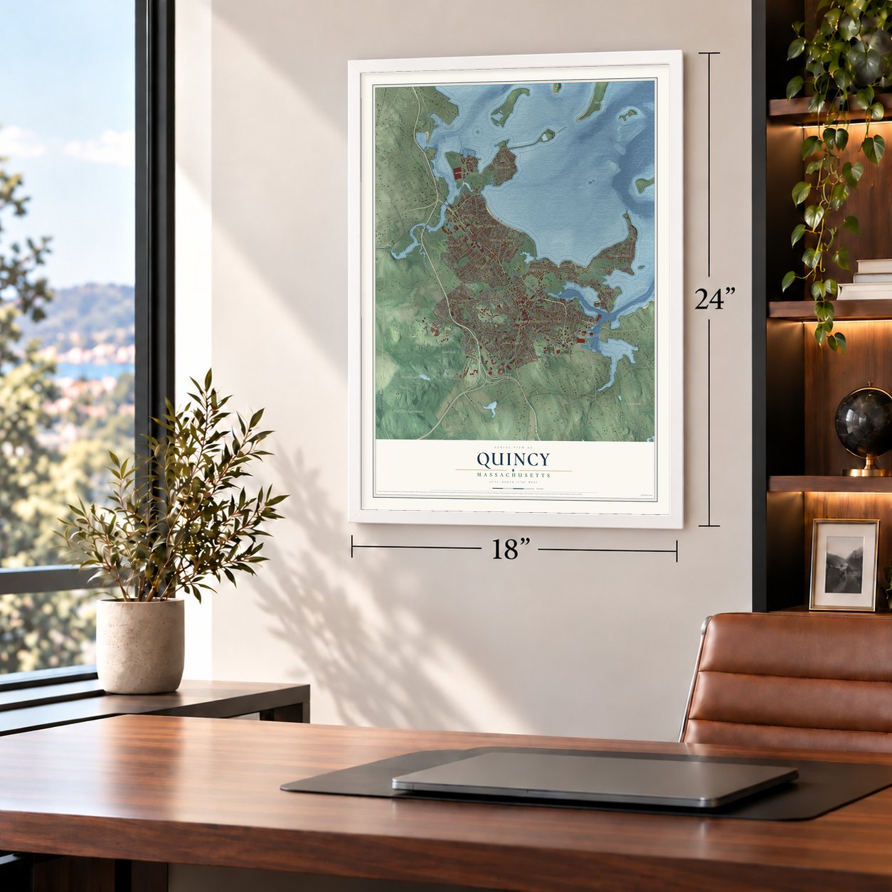

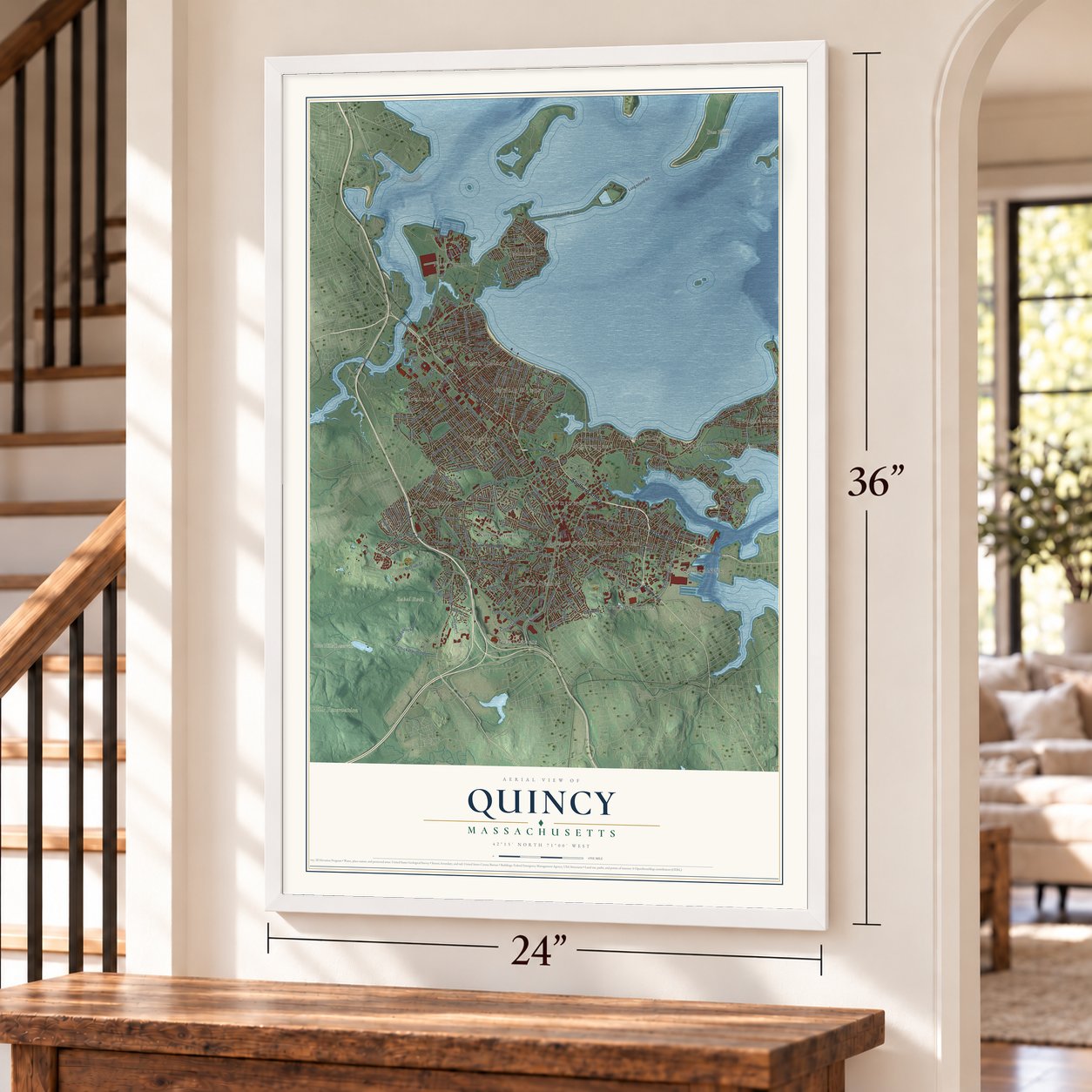

Free U.S. delivery 7 to 10 days after you order
Quincy, Massachusetts Map Art
Building by building, with labeled streets and shaded relief.
12" x 18" Archival Matte Print
A Map of Home. A Work of Art.
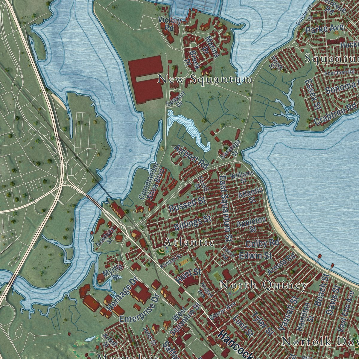
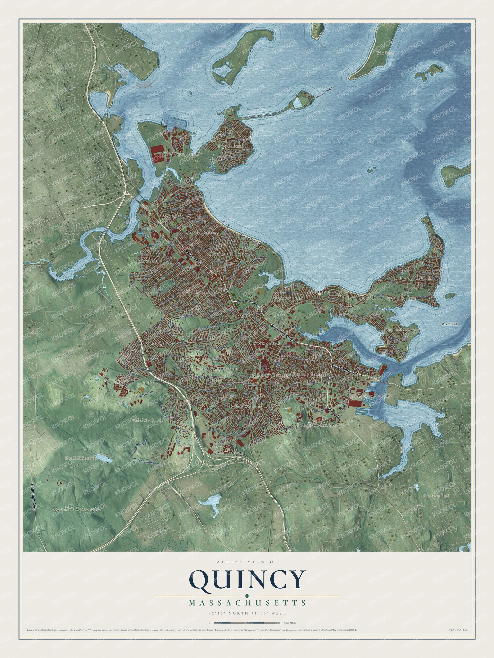
Explore Quincy, Massachusetts from a whole new perspective. Created using aerial imagery and detailed geographic data, this map captures Quincy building by building, with labeled streets, familiar landmarks, and shaded topographical relief that highlights the natural contours of the landscape.
Combining modern data with the timeless character of a vintage atlas, this map is just as interesting up close as it is beautiful on the wall. Whether you grew up in Quincy, spent memorable years there, or call it home today, this unique map is a great way to celebrate a place that means something to you. Zoom in on the preview to look for your street, and then order a print to put your memories on the wall.
Three ways to hang it
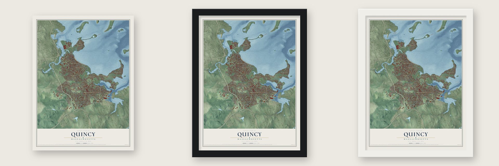
Unframed archival matte, a black wood frame or a white wood frame.
Up close
Geography Worth Displaying
This map was created using accurate cartographic data and authoritative geographic sources, including the U.S. Geological Survey (USGS) and FEMA. The map brings together terrain, waterways, roads, and building detail. The majority of the streets are labeled, houses are accurately depicted, and the topography is derived from government sources. Combining local data with carefully composed color and shading leads to this beautifully detailed Quincy artwork for your wall.
Rather than simply showing street outlines, we’ve included as many of the street names as we could reasonably fit on the map while keeping their names legible. Zoom in on the high resolution preview to see exactly what’s on the map. We truly set out to create a statement piece for anyone who loves Quincy. So whether it’s for you, or a gift for someone you love, we hope this map of Quincy brings back fond memories.
Explore the full map of Quincy, Massachusetts and read about the local places it shows.

Find your street
Names on the Quincy map
Every name below is printed on this map. Look for your street, your school, the park where you played, or the pond down the road.
Places and landmarks30
- Downtown
- Babel Rock
- Bass Point
- Bass Rock
- Blue Hills Reservoir
- Cranberry Pond
- Blue Hills Reservation
- Faxon Park
- New Squantum
- Adams Shore
- West Quincy
- Montclair
Show all 30 places
- Quincy Neck
- North Quincy
- Squantum
- Germantown
- Houghs Neck
- North Commons
- Merrymount
- South Quincy
- Wollaston
- Five Corners
- Rock Island
- Quincy Point
- Post Island
- Norfolk Downs
- South Commons
- Quincy Center
- Atlantic
- Batterymarch Park
Streets and roads233
- Southern Artery
- Hancock Street
- Washington Street
- Randolph Avenue
- Falls Boulevard
- Quincy Avenue
- Willard Street
- Granite Street
- Quincy Shore Drive
- Bicknell Street
- Fenno Street
- Elm Street
- Franklin Street
- Shore Avenue
- West Street
- East Howard Street
- Butler Road
- Water Street
- Rock Island Road
- Sea Street
- Furnace Brook Parkway
- East Squantum Street
- Crown Colony Drive
- Ricciuti Drive
- Adams Street
- Newport Avenue
- Quarry Street
- Centre Street
- Chickataubut Road
- South Street
Show all 233 streets
- Wampatuck Road
- Moon Island Road
- Beale Street
- Palmer Street
- Belmont Street
- Manet Avenue
- Elmwood Avenue
- Copeland Street
- Highland Avenue
- Common Street
- Fayette Street
- Safford Street
- Billings Street
- Whitwell Street
- Beach Street
- Holbrook Road
- Harvard Street
- Wilson Avenue
- Liberty Street
- Elm Avenue
- Taffrail Road
- Parke Avenue
- Taylor Street
- Heritage Drive
- Enterprise Drive
- School Street
- Old Colony Avenue
- Phipps Street
- Vassall Street
- Colonial Drive
- Summit Avenue
- Quincy Street
- Davis Street
- Edgewater Drive
- Squanto Road
- Pine Street
- Putnam Street
- Penn Street
- Madison Avenue
- Bunker Hill Lane
- Crabtree Road
- Everett Street
- Rice Road
- Crescent Street
- Suomi Road
- Waterston Avenue
- Essex Street
- Bayside Road
- Sonoma Road
- Bryant Avenue
- Bates Avenue
- Utica Street
- Hall Place
- Sea Avenue
- Island Avenue
- Monroe Road
- Russell Street
- Colby Road
- Macy Street
- Bay View Avenue
- Grove Street
- Garfield Street
- Edwin Street
- Gridley Street
- Cross Street
- Curtis Avenue
- Bird Street
- Airport Road
- Haviland Street
- Willet Street
- Clay Street
- High Street
- Pond Street
- Ames Street
- Tyler Street
- Viden Road
- Cove Way
- Wren Terrace
- Lawn Avenue
- Edison Street
- Joan Drive
- Lunt Street
- Bay Street
- Hunt Street
- Independence Avenue
- Bellevue Road
- Breck Place
- Moffat Road
- Commander Shea Boulevard
- West Squantum Street
- Atlantic Street
- South Central Avenue
- Victory Road
- Presidents Lane
- Babcock Street
- Huckins Avenue
- Elliot Avenue
- Rhoda Street
- Gardiner Road
- Main Street
- Marina Drive
- East Elm Avenue
- Spring Street
- Chubbuck Street
- Greene Street
- Faxon Park Road
- Myrtle Street
- Doane Street
- Long Island Road
- Congress Street
- Forbes Hill Road
- Governors Road
- Bartlett Street
- Hamilton Street
- Burgin Parkway
- State Street
- Appleton Street
- Ross Way
- Fifth Avenue
- Hilma Street
- Miller Street
- Lind Street
- Branch Street
- Pelican Road
- Wallace Road
- Arnold Road
- Stewart Street
- Scammell Street
- Hughes Street
- Snug Harbor Court
- Station Street
- Churchill Road
- Wharf Street
- Berlin Street
- Hudson Street
- Parker Street
- Kent Street
- Tinson Road
- Follett Street
- Gay Street
- Miller Stile Road
- Hilltop Street
- Curtis Street
- Oval Road
- Hyde Street
- Merrymount Parkway
- Thomas Burgin Parkway
- Farrington Street
- Federal Avenue
- Seaport Drive
- Stoughton Street
- Grand View Avenue
- Sherman Street
- Willow Street
- Rockland Street
- Willow Avenue
- Arnold Street
- Reservoir Road
- Roberts Street
- Verchild Street
- Glover Avenue
- Lancaster Street
- Reardon Street
- Saratoga Street
- Ruggles Street
- Cleverly Court
- Ardell Street
- Payne Street
- Grenwold Road
- Williams Street
- Tirrell Street
- Randlett Street
- Circuit Road
- Burns Avenue
- Shennen Street
- Evans Street
- Newbury Street
- John Street
- Nelson Street
- Euclid Avenue
- Rhude Street
- Heath Street
- Maple Street
- Alvin Avenue
- Larry Place
- Robertson Street
- Dorchester Street
- Granger Street
- Faxon Road
- Brackett Street
- Baxter Avenue
- Rogers Street
- Aberdeen Road
- Rodman Street
- Broadway
- Graham Street
- Kendall Street
- Harris Street
- Hodges Avenue
- Ashland Street
- Carrolls Lane
- Brae Road
- Casco Street
Names are listed as they appear on the printed map. Zoom into the product photos to find them.
About Quincy, Massachusetts
Quincy is a city of 101,636 people in Norfolk County, on Quincy Bay just south of Boston. In 1625 Captain Richard Wollaston's party set up a trading post on a low hill at a place the Native people called Passonagessit, and they called the spot Mount Wollaston. Before long Wollaston departed for Virginia, and Thomas Morton took charge and renamed it Ma-re-Mount, until Myles Standish arrested him in 1627 and he was shipped back to England.
The land later passed to Dorchester and, in 1640, to the new town of Braintree, whose North Precinct was set off in 1708. John Adams was born there in 1735, and his son John Quincy Adams was born in the house next door in 1767. John Hancock was born there too. In 1792 the precinct broke away as the town of Quincy, named for Col. John Quincy, Abigail Adams's grandfather, and it became a city in 1888.
“No ship could come in without being seen from thence.”
- A stone church from Adams's quarriesIn 1822 John Adams gave the town granite quarries for a stone temple. It rose so near the old church that the tower had to come down. John Spear bought it at auction in March 1828 for seventy dollars.
- The Granite Railway of 1826Builders of the Bunker Hill Monument in Charlestown needed Quincy stone, so in 1826 the Granite Railway was built to carry it from a quarry down to the Neponset River at Milton, where it was loaded onto boats for the rest of the trip. Quincy granite grew famous across the nation, and by the 1890s 140 Quincy firms were making granite monuments.
- Ships from the Fore RiverQuincy built ships before its big yard: the Massachusetts, said to be the nation's largest ship, was built at Germantown in 1789. In the 1880s Thomas A. Watson, made rich as Alexander Graham Bell's telephone assistant, founded the Fore River yard. It built the battleships USS Massachusetts and USS Nevada and the carrier USS Lexington, and in 1917 it put up a Shingle-style clubhouse for its workers.
- Watching the British fleetCol. Josiah Quincy built his country house above Quincy Bay in 1770, and during the Revolution he kept an eye on the British warships in Boston Harbor through its attic windows. In 1778 John Adams left for France from Houghs Neck instead of Boston, to slip past the British.
- Flag Day parade since 1952Richard Koch, who once directed the city's parks and recreation department and founded the Koch Club, a sports program for children, started a yearly parade with flags in 1952. It has grown into the longest-running Flag Day parade in the United States.
Keep exploring Massachusetts
Quincy is one of 468 Massachusetts towns we've mapped. Every dot on the map is a print of its own.
The search covers every state, Massachusetts first.
Near Quincy
Order 2 or more town maps and save 10%. Shown in the size and finish you picked above, so they hang as a set.
- Dorchester 12" x 18" / Archival Matte Print $39.99
- Milton 12" x 18" / Archival Matte Print $39.99
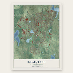
- Braintree 12" x 18" / Archival Matte Print $39.99

More maps nearby: Mattapan, Weymouth, South Boston, Boston and Roxbury.
The art of mapping a place
How This Map Was Made
Real places. Remarkable detail. Discover the layers that turn geographic data into a map of home.

The view from above
Aerial imagery reveals the character of the land: woodland, open fields, and the patterns of a place.

The shape of the land
Elevation data brings hills, valleys, and subtle changes in the landscape into view.

The details of home
Roads, waterways, and building footprints come together to make the map feel unmistakably local.

Geography becomes art
Considered color, shading, and typography bring the layers together in a map made for your wall.


Process illustrated with Mendon, Massachusetts. Aerial imagery: USDA NAIP. Terrain: USGS 3D Elevation Program. Map details and finished artwork: KNOWOL.
The Details
About This Print
Choose an archival matte print, or a black or white Ayous wood frame. The archival matte print is unframed.
Select your size and finish above to see the matching product image and price.
Materials & Craftsmanship
A contemporary map with the character of a classic atlas, printed on archival matte paper. Optional frames are made from Ayous wood.
Your printed map does not include the watermark shown in the full-map preview.
Shipping & Delivery
Free shipping within the United States. Every print is made to order in the USA.
Buying a gift? Add a note in your cart and we'll include it. We never put prices in the package.
Prints ship within 2 to 3 business days. Allow 7 to 10 days total from ordering for delivery. Timing may vary during holidays or periods of high order volume.
Read our shipping policy.
Returns and damaged prints
Each print is made to order. Change-of-mind refunds are not available after production.
If your print arrives damaged, misprinted or incorrect, contact support@knowol.com within 30 days of receiving it. Include your order number, photos and a description of the issue.
Read our full refund and replacement policy. For questions about your order, email support@knowol.com.