
Search for another town


Free U.S. delivery 7 to 10 days after you order
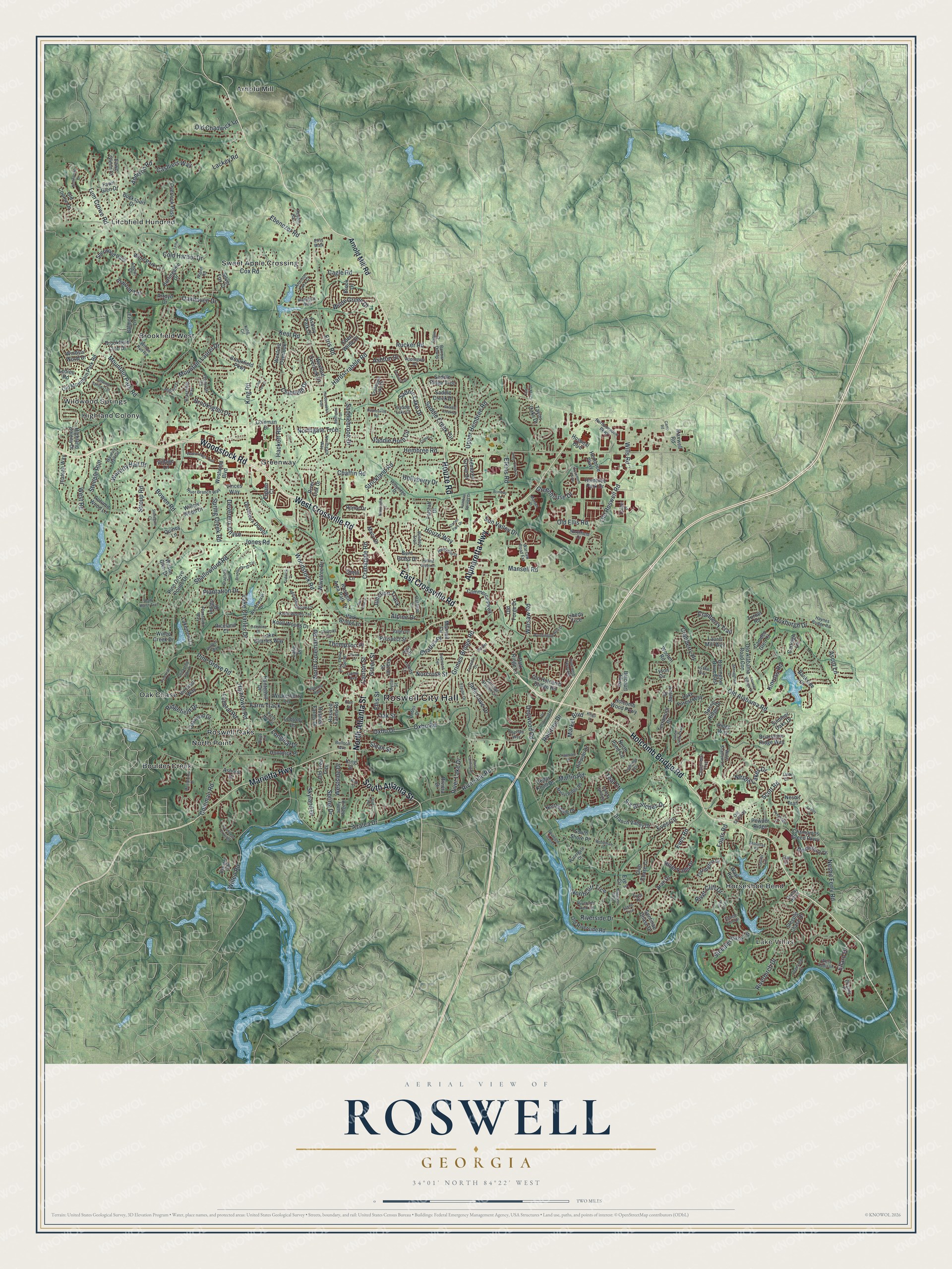
Roswell, Georgia Map Art
Building by building, with labeled streets and shaded relief.
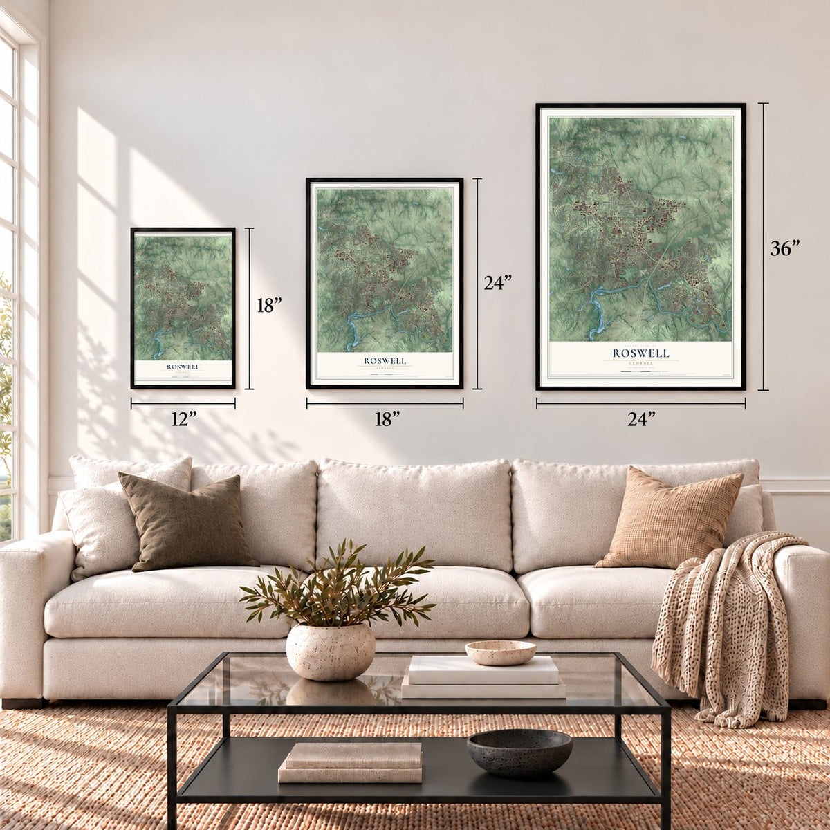
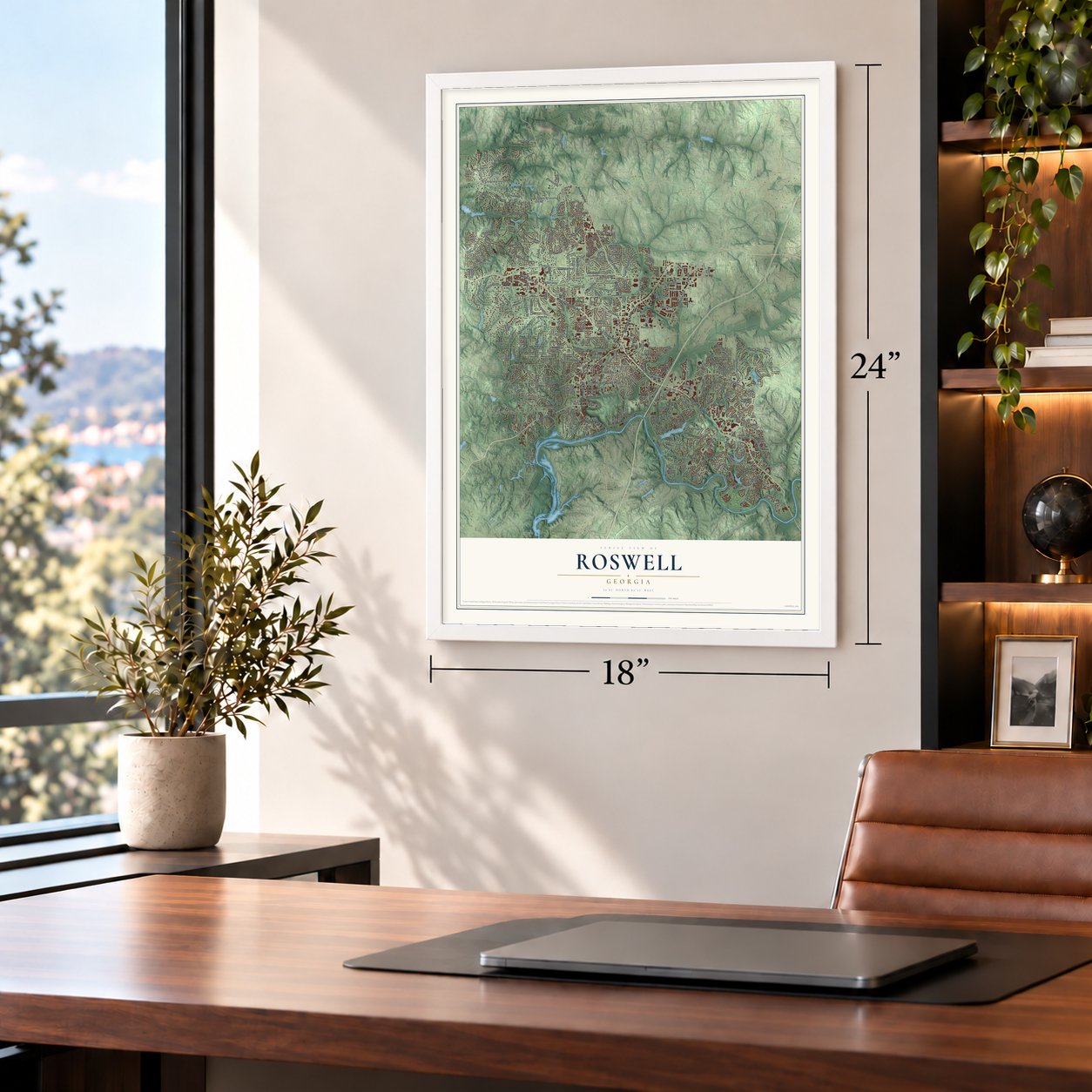
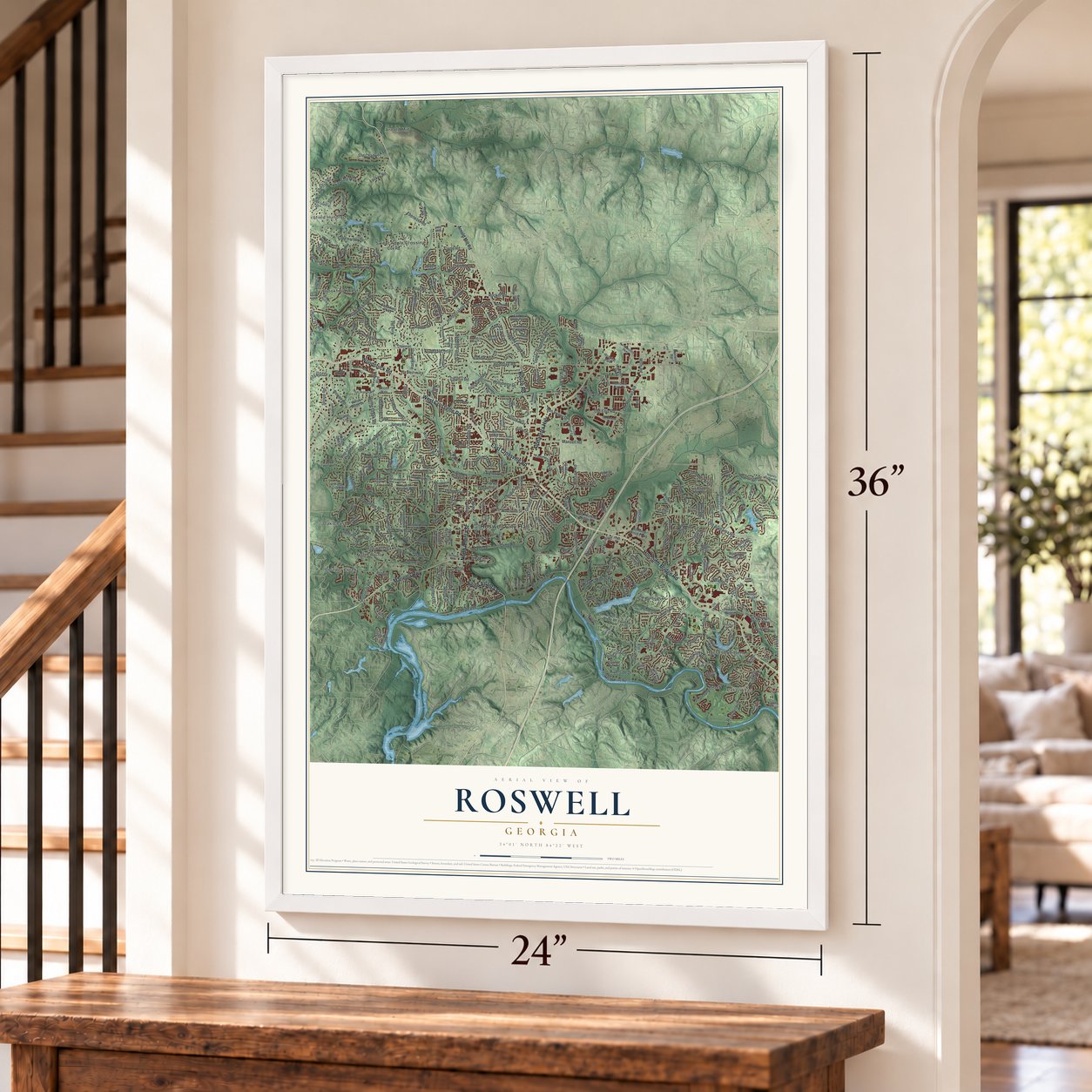
12" x 18" Archival Matte Print
A Map of Home. A Work of Art.
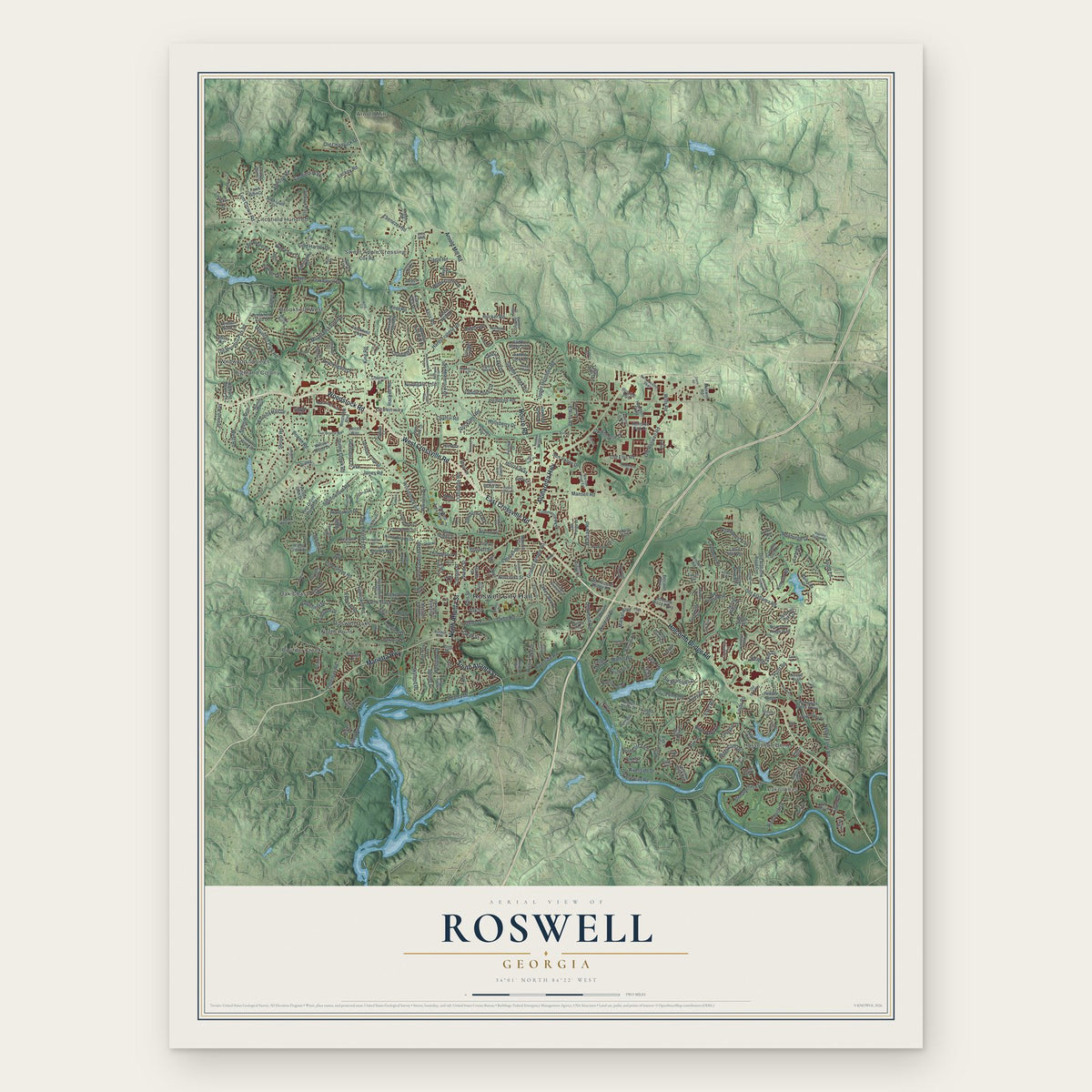
Explore Roswell, Georgia from a whole new perspective. Created using aerial imagery and detailed geographic data, this map captures Roswell building by building, with labeled streets, familiar landmarks, and shaded topographical relief that highlights the natural contours of the landscape.
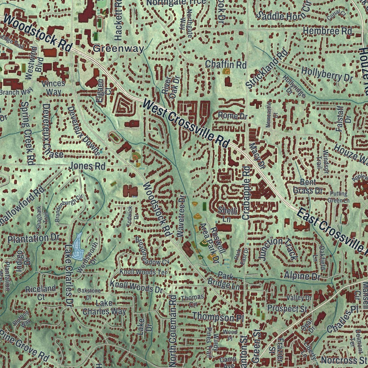
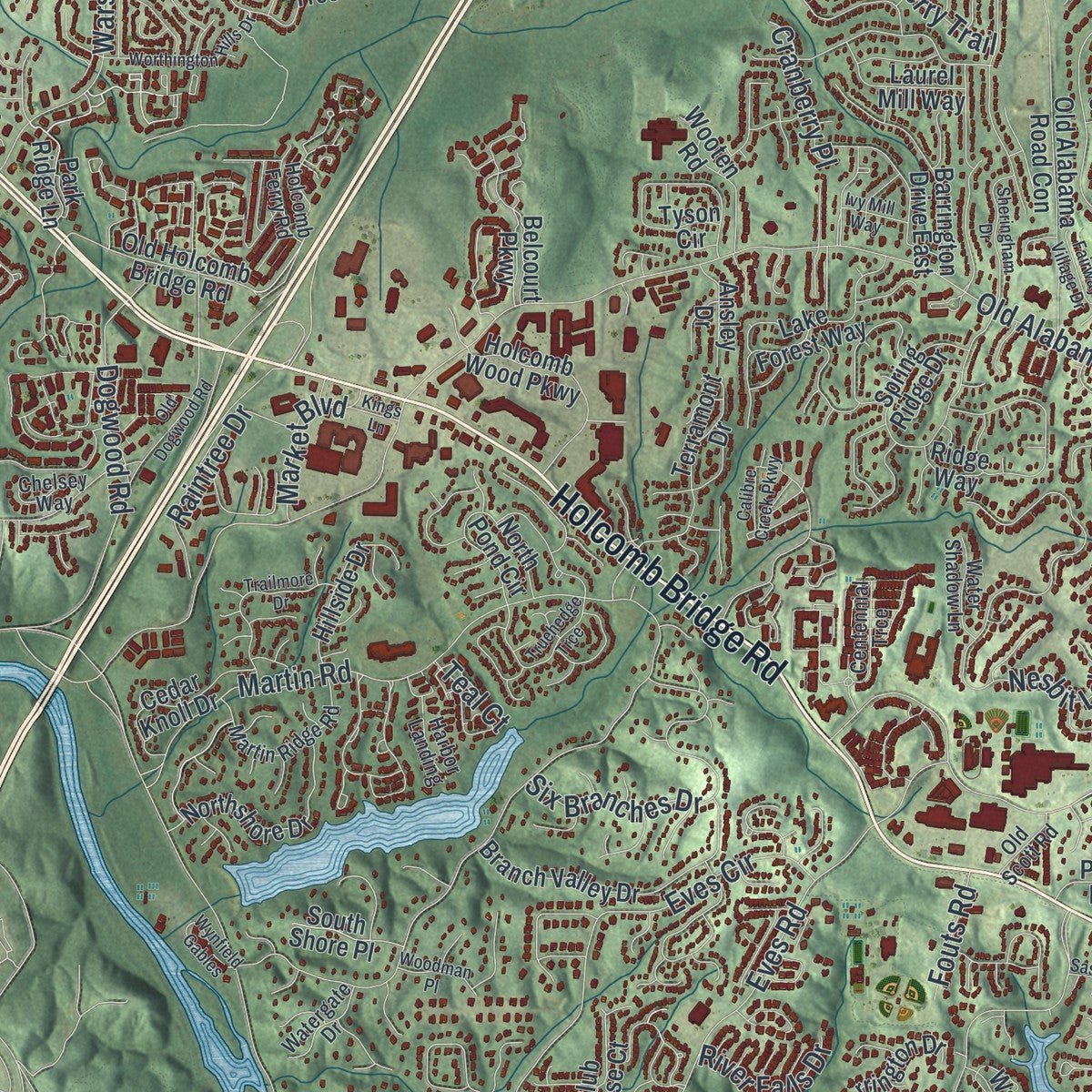
Combining modern data with the timeless character of a vintage atlas, this map is just as interesting up close as it is beautiful on the wall. Whether you grew up in Roswell, spent memorable years there, or call it home today, this unique map is a great way to celebrate a place that means something to you. Zoom in on the preview to look for your street, and then order a print to put your memories on the wall.
Three ways to hang it
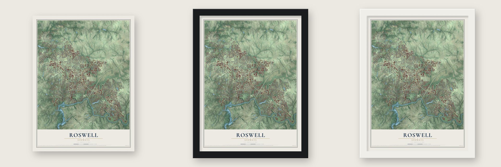
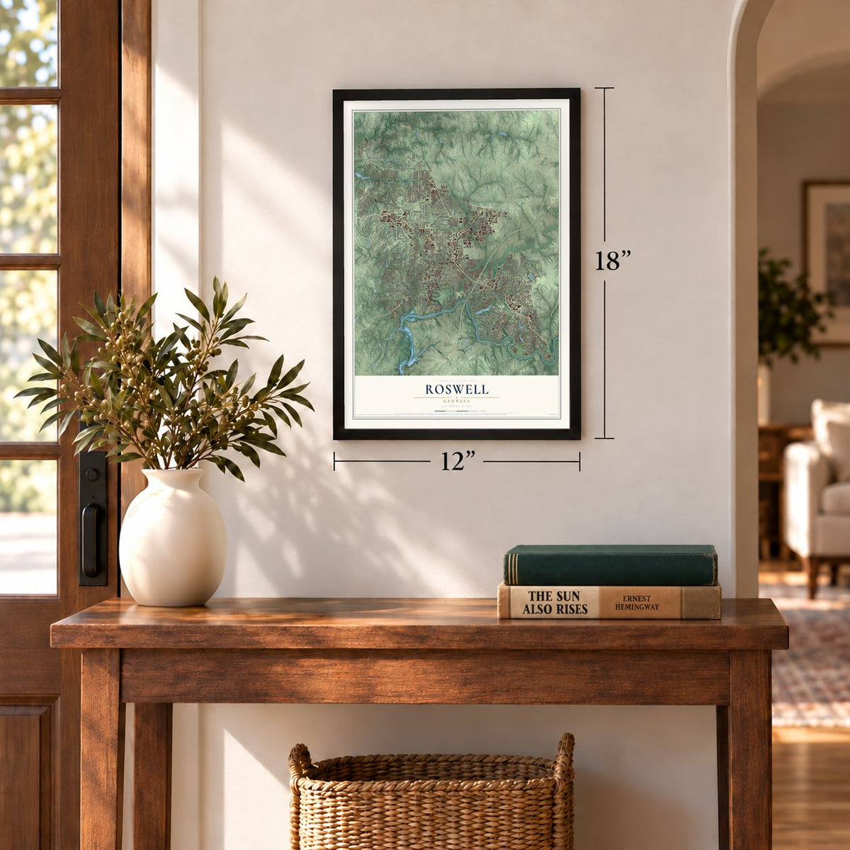
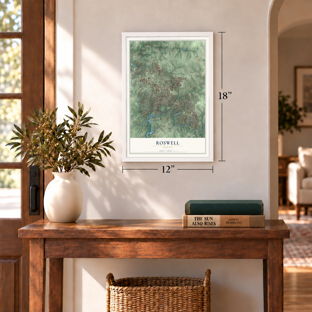
Unframed archival matte, a black wood frame or a white wood frame.
Up close
Geography Worth Displaying
This map was created using accurate cartographic data and authoritative geographic sources, including the U.S. Geological Survey (USGS) and FEMA. The map brings together terrain, waterways, roads, and building detail. The majority of the streets are labeled, houses are accurately depicted, and the topography is derived from government sources. Combining local data with carefully composed color and shading leads to this beautifully detailed Roswell artwork for your wall.
Rather than simply showing street outlines, we’ve included as many of the street names as we could reasonably fit on the map while keeping their names legible. Zoom in on the high resolution preview to see exactly what’s on the map. We truly set out to create a statement piece for anyone who loves Roswell. So whether it’s for you, or a gift for someone you love, we hope this map of Roswell brings back fond memories.
Explore the full map of Roswell, Georgia and read about the local places it shows.
Find your street
Names on the Roswell map
Every name below is printed on this map. Look for your street, your school, the park where you played, or the pond down the road.
Places and landmarks14
- Roswell City Hall
- Lake Villas
- Arnold Mill
- Boulder Creek
- Brookfield West
- Greenway
- Highland Colony
- Horseshoe Bend
- Litchfield Hundred
- North Point
- Oak Chase
- Roswell Oaks
Show all 14 places
- Sweet Apple Crossing
- Wildwood Springs
Streets and roads356
- Holcomb Bridge Road
- Woodstock Road
- West Crossville Road
- East Crossville Road
- Alpharetta Highway
- Houze Road
- Marietta Highway
- South Atlanta Street
- North Atlanta Street
- Old Ellis Road
- Hembree Road
- Old Alabama Road
- Riverside Road
- Willeo Road
- Martin Road
- Cox Road
- Crabapple Road
- Roxburgh Drive
- Azalea Drive
- Hardscrabble Road
- Mansell Road
- Nesbit Ferry Road
- Pine Grove Road
- Oakhaven Drive
- Jones Road
- Grimes Bridge Road
- Mountain Laurel Drive
- Coleman Road
- Nesbit Lakes Drive
- Eves Road
Show all 356 streets
- King Road
- Chaffin Road
- Old Roswell Road
- Etris Road
- Shallowford Road
- Ridgefield Drive
- Lake Charles Drive
- Warsaw Road
- Scott Road
- Lum Crowe Road
- Mountain Park Road
- Lackey Road
- Stroup Road
- Houze Way
- Upper Hembree Road
- Bowen Road
- Eves Circle
- Cold Harbor Drive
- Northcliff Trce
- Addison Road
- Devereux Chase
- Oxbo Drive
- Oxbo Road
- Ebenezer Road
- Six Branches Drive
- Dogwood Road
- Saddle Creek Circle
- Norcross Street
- Skyland Drive
- Saddle Lake Drive
- North Coleman Road
- West Road
- Wilde Green Drive
- Saddle Horn Circle
- Canton Street
- Spring Drive
- Riverbirch Drive
- Waverly Hall Drive
- Strickland Road
- Kent Road
- Sun Valley Drive
- Rucker Road
- Raintree Drive
- Hollyberry Drive
- Cranberry Trail
- Junction Track
- Oak Street
- Riverside Drive
- Brooksglen Drive
- Inwood Terrace
- Wills Road
- Hightower Road
- Saddlebrook Drive
- Elkins Road
- Hackett Road
- Farm Track
- Jade Cove Drive
- Greenhouse Drive
- Cashiers Way
- Cagle Road
- Steeplechase Lane
- Ascot Lane
- Alpine Drive
- Ellard Drive
- Thompson Place
- Spring Creek Road
- Clubfield Drive
- River Lake Drive
- Steeple Run
- Old Chadwick Lane
- Plantation Drive
- Sloan Street
- Market Boulevard
- Northgate Trce
- Charles Place
- River Cliff Drive
- Longleaf Drive
- River Falls Drive
- Teal Court
- Cranberry Place
- Federal Road
- Ashton Drive
- Westside Drive
- Kinross Road
- Fouts Road
- Green Street
- Ellis Street
- Arnold Mill Road
- Park Ridge Lane
- Champions Green Parkway
- Steeple Chase Drive
- Sentinae Chase Drive
- Belcourt Parkway
- Wavetree Drive
- Saddle Creek Drive
- Old Holcomb Bridge Road
- Old Mountain Park Road
- Eden Wilde Drive
- Village Lane
- Pine Grove Pointe Drive
- Spring Ridge Drive
- Branch Valley Drive
- Brookfield Parkway
- Bucksport Drive
- Taylor Oaks Drive
- Wayt Road
- Briarstone Ridge Way
- Overlook Pass
- Holcomb Wood Parkway
- Lake Forest Way
- Highland Colony Drive
- Saddle Ridge Trce
- Tyson Circle
- Silver Fox Court
- Bankside Drive
- Brookfield Club Drive
- Northshore Drive
- Old Riverside Road
- Devonshire Drive
- Old Alabama Road Con
- Barrington Drive East
- Terramont Drive
- Roswell Area Park Drive
- Wexford Overlook Drive
- North Pond Circle
- Autumn Wood Lane
- Sherwood Pass
- Hunterhill Drive
- Maxwell Road
- Turner Road
- Loblolly Lane
- Balmoral Lane
- Old Course Drive
- Wickerberry Lane
- Devereux Downs
- Coleman Drive
- Old Tree Trce
- Bent Grass Drive
- Willeo Creek Drive
- Knoll Woods Drive
- Cedar Knoll Drive
- Hillside Drive
- Commerce Parkway
- Lake Charles Way
- Shelli Lane
- Fawn Glenn Court
- Roswell Farms Road
- Oakwood Drive
- Club Chase Court
- Willow Wood Drive
- Wooten Road
- Westwind Boulevard
- Hembree Grove Drive
- Camden Glen Court
- Torrington Drive
- Hembree Parkway
- Laurel Mill Way
- Burlingame Drive
- Winn Park Court
- Lakemont Court
- Hembree Park Drive
- Hialeah Way
- Fawn Glen Drive
- Prospect Street
- Huntwick Place
- Vinces Way
- Mansell Circle
- Falstaff Drive
- Wexford Overlook
- Wilson Glen Drive
- Windsor Wood Drive
- King Street
- Brook Lane
- South Shore Place
- Bircham Way
- Macy Drive
- Park Bridge Lane
- Summer Oaks Drive
- River Oak Drive
- Powder Ridge
- Roswell Farms Drive
- Aran Drive
- Ledieu Road
- Ansley Drive
- Elgaen Court
- Hospital Boulevard
- Asbury Park Drive
- Old Forge Drive
- Quincy Lane
- Riceland Court
- Liberty Trce
- Carleigh Lane
- Rome Drive
- Eve's Circle
- Riviera Drive
- Frazier Street
- Nesbit Trail
- Ashurst Drive
- Indigo Drive
- Ridge Way
- Lake Drive
- Arroyo Drive
- Northmeadow Parkway
- River Branch Way
- Old Scott Road
- Dobbs Drive
- Crabapple Lake Drive
- Wordsworth Drive
- Windsor Trail
- Haynes Bridge Road
- Broadmeadow Cv
- Plantation Way
- Barrow Downs
- Martin Ridge Road
- Liberty Lane
- Myrtle Street
- West Addison
- Ferncroft Court
- Oakfield Lane
- Waverly Hall Circle
- Elaine Drive
- Knoll Woods Terrace
- Windy Pines Trail
- Bywater Trail
- Heydon Hall
- Hollyridge Drive
- Thomas Circle
- Aronson Lake Court
- Harbor Landing
- Carriage Station Circle
- Warsaw Road Extension
- Applegate Drive
- Centennial Trce
- Northgate Way
- Saddle Lake Court
- Water Shadow Lane
- Holcomb Ferry Road
- Watergate Drive
- Valley Drive
- Farm Hill Circle
- Hamilton Way
- Granby Hill Place
- Brassfield Way
- Northfield Court
- Riverside Park Drive
- Delmont Terrace
- Willow Run Road
- Overview Court
- Valley Ridge Drive
- Pristine Place
- Chelsey Way
- Ansher Court
- Tuxedo Drive
- Bulloch Avenue
- Eves Place
- Etris Walk
- Roper Road
- Camp Avenue
- Calder Drive
- Laurel Lane
- Opal Drive
- Slane Trce
- Dove Court
- King Circle
- Elan Court
- Tala Drive
- Calibre Creek Parkway
- Waters Edge Trail
- Rosemont Parkway
- Settindown Drive
- Rounsaville Road
- Old Dogwood Road
- Sassafras Road
- Applewood Drive
- Trailmore Drive
- Northgate Trail
- Worthington Hills Drive
- Putting Green Lane
- Truehedge Trce
- Brandenburgh Circle
- Arbor Creek Drive
- Darien Park Drive
- Bluffton Way
- Flowing Spring Trail
- Sheringham Drive
- Wynfield Gables
- Mosspointe Drive
- Stonegate Court
- Chickering Lake Drive
- Oakstone Drive
- Primrose Drive
- Millsbee Lane
- Market Place
- Fairway Village Drive
- River Landing Drive
- Saddle Creek Lane
- Shagbark Trail
- Preakness Drive
- Hardscrabble Trail
- Hembree Springs Drive
- Magnolia Walk
- Inverness Crossing
- Mansell Place
- River Trce
- Steeple Point Drive
- Woodman Place
- Shady Marsh Trail
- Newcastle Court
- Mistwater Close
- Pine Street
- Tynebrae Place
- Bombay Lane
- Ivy Mill Way
- Lyme Court
- Corral Court
- Wood Place
- Foe Creek Drive
- Todwick Drive
- Colgan Court
- Park East Drive
- Camp Road
- Ashley Lane
- Tulip Tree Lane
- Kings Lane
- Oliver Road
- Pratt Street
Names are listed as they appear on the printed map. Zoom into the product photos to find them.
About Roswell, Georgia
Roswell is a city of 92,883 people in northern Fulton County, with the Chattahoochee River along its southern edge. On a trip through north Georgia in 1830, Roswell King saw that Vickery Creek could power a cotton mill and that the land around it suited plantations, so cotton could be grown and spun in one place. He came back in the middle of the 1830s and built Roswell Mill, which soon grew into the largest mill in North Georgia.
King brought 36 enslaved Africans from his coastal plantation and bought 42 skilled enslaved carpenters in Savannah. They built the mills, the houses and the apartments for mill workers, and they carried their Geechee language, culture and faith with them from the coast. King's son Barrington joined him and later took over the company. Because the Cobb County seat at Marietta was four hours away on horseback, residents asked the Georgia General Assembly for a city charter, and it was approved on February 16, 1854.
- Burned in the Civil WarBy the Civil War the mills employed more than 400 people, most of them women. Union forces under General Kenner Garrard captured Roswell, and on General Sherman's orders Garrard sent the mill workers north so they couldn't go back to work if the mills were rebuilt. The mill was burned, but the houses were spared. Barrington King rebuilt the mills after the war, and the ruins of the old mill and its 30-foot dam still stand.
- Three founding family homesBarrington King lived at Barrington Hall, the planter Archibald Smith at his 300-acre cotton plantation, and Mittie Bulloch, mother of President Theodore Roosevelt, grew up at Bulloch Hall. All three houses have been restored and opened to the public. The 1850 slave schedules show that these founding families and the next three largest planters held 192 of the 378 enslaved people in the Roswell District.
- Into Fulton County in 1932Roswell began in Cobb County. During the Great Depression, Milton County to the north merged into Fulton County, and to make the merger work Roswell was handed from Cobb to Fulton as well. The change took effect on May 9, 1932, and from then on the town's deeds, vital records and lawsuits were filed with the Fulton county clerk instead of Cobb's.
- Georgia's largest Memorial Day ceremonyRoswell's Memorial Day ceremony is the biggest in the state. The city also holds Roswell Roots, a February festival of Black history and culture, along with the Magnolia Storytelling Festival in June and a Youth Day Parade in October.
Keep exploring Georgia
Roswell is one of 1,042 Georgia towns we've mapped. Every dot on the map is a print of its own.
The search covers every state, Georgia first.
Near Roswell
Order 2 or more town maps and save 10%. Shown in the size and finish you picked above, so they hang as a set.
- Mountain Park 12" x 18" / Archival Matte Print $39.99
- Alpharetta 12" x 18" / Archival Matte Print $39.99
- Mount Bethel 12" x 18" / Archival Matte Print $39.99
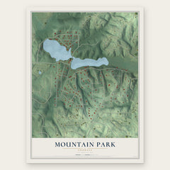
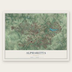
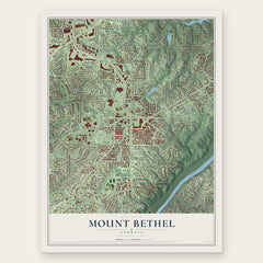
More maps nearby: Dunwoody, Ocee, Sandy Springs, Milton and Peachtree Corners.
The art of mapping a place
How This Map Was Made
Real places. Remarkable detail. Discover the layers that turn geographic data into a map of home.

The view from above
Aerial imagery reveals the character of the land: woodland, open fields, and the patterns of a place.

The shape of the land
Elevation data brings hills, valleys, and subtle changes in the landscape into view.

The details of home
Roads, waterways, and building footprints come together to make the map feel unmistakably local.

Geography becomes art
Considered color, shading, and typography bring the layers together in a map made for your wall.


Process illustrated with Mendon, Massachusetts. Aerial imagery: USDA NAIP. Terrain: USGS 3D Elevation Program. Map details and finished artwork: KNOWOL.
The Details
About This Print
Choose an archival matte print, or a black or white Ayous wood frame. The archival matte print is unframed.
Select your size and finish above to see the matching product image and price.
Materials & Craftsmanship
A contemporary map with the character of a classic atlas, printed on archival matte paper. Optional frames are made from Ayous wood.
Your printed map does not include the watermark shown in the full-map preview.
Shipping & Delivery
Free shipping within the United States. Every print is made to order in the USA.
Buying a gift? Add a note in your cart and we'll include it. We never put prices in the package.
Prints ship within 2 to 3 business days. Allow 7 to 10 days total from ordering for delivery. Timing may vary during holidays or periods of high order volume.
Read our shipping policy.
Returns and damaged prints
Each print is made to order. Change-of-mind refunds are not available after production.
If your print arrives damaged, misprinted or incorrect, contact support@knowol.com within 30 days of receiving it. Include your order number, photos and a description of the issue.
Read our full refund and replacement policy. For questions about your order, email support@knowol.com.