
Search for another town





Free U.S. delivery 7 to 10 days after you order
South Windsor, Connecticut Map Art
Building by building, with labeled streets and shaded relief.
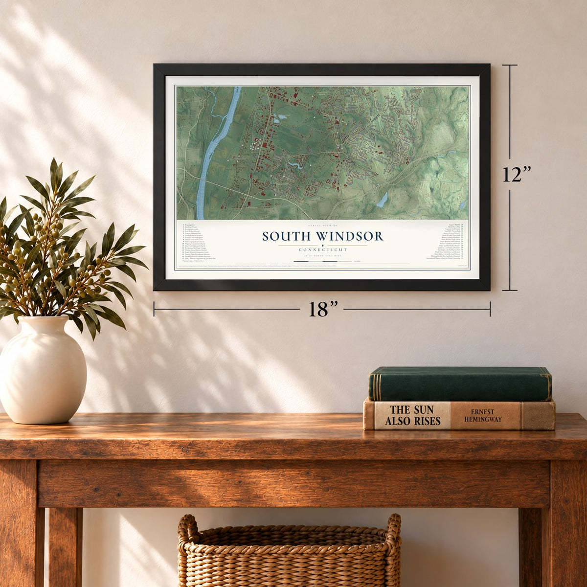
12" x 18" Archival Matte Print
A Map of Home. A Work of Art.
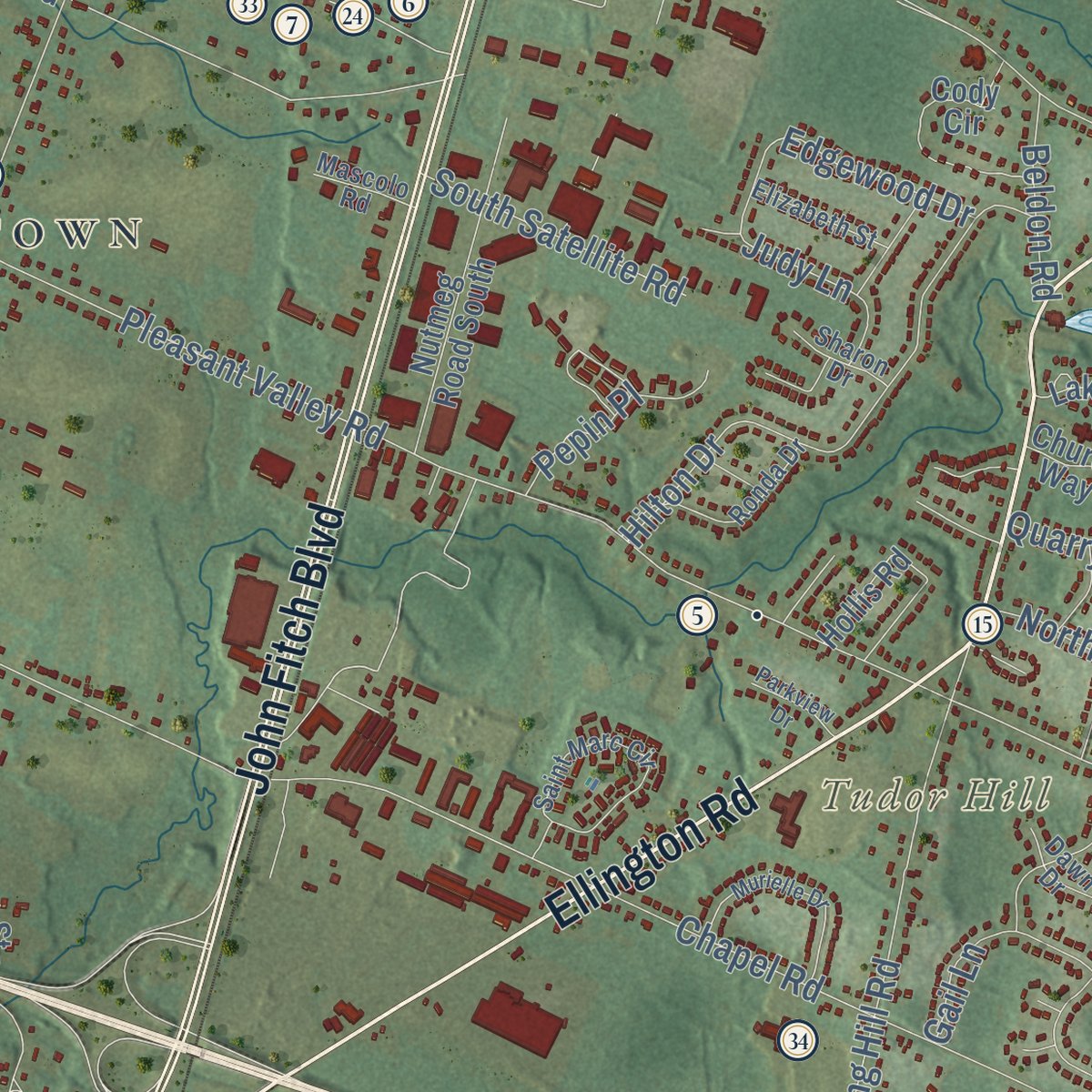
Explore South Windsor, Connecticut from a whole new perspective. Created using aerial imagery and detailed geographic data, this map captures South Windsor building by building, with labeled streets, familiar landmarks, and shaded topographical relief that highlights the natural contours of the landscape.
Combining modern data with the timeless character of a vintage atlas, this map is just as interesting up close as it is beautiful on the wall. Whether you grew up in South Windsor, spent memorable years there, or call it home today, this unique map is a great way to celebrate a place that means something to you. Zoom in on the preview to look for your street, and then order a print to put your memories on the wall.

Three ways to hang it
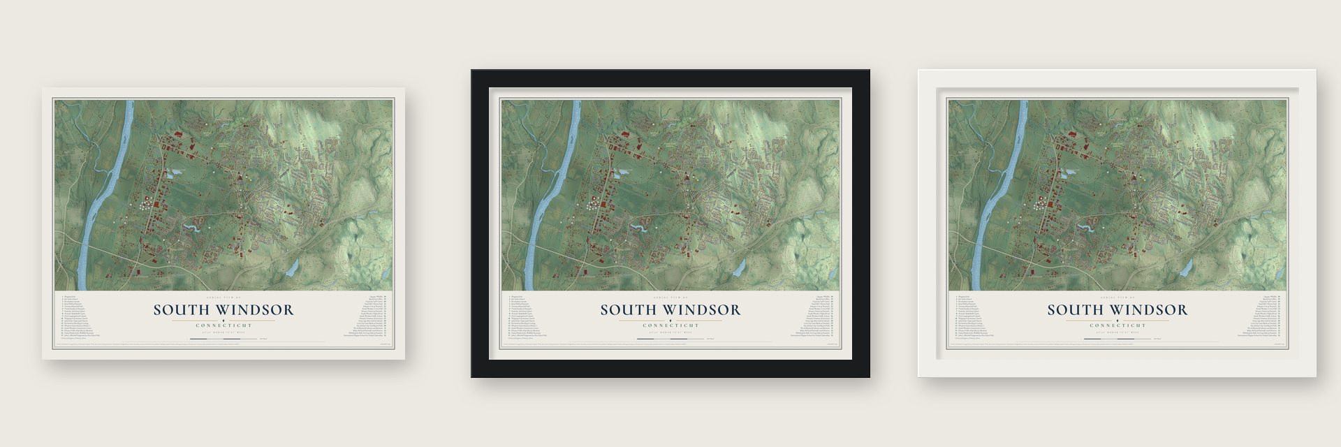
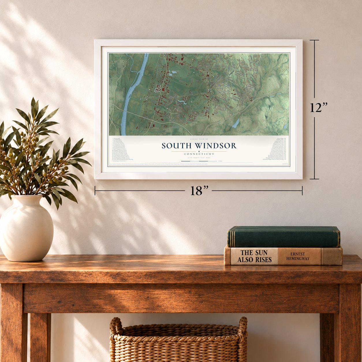
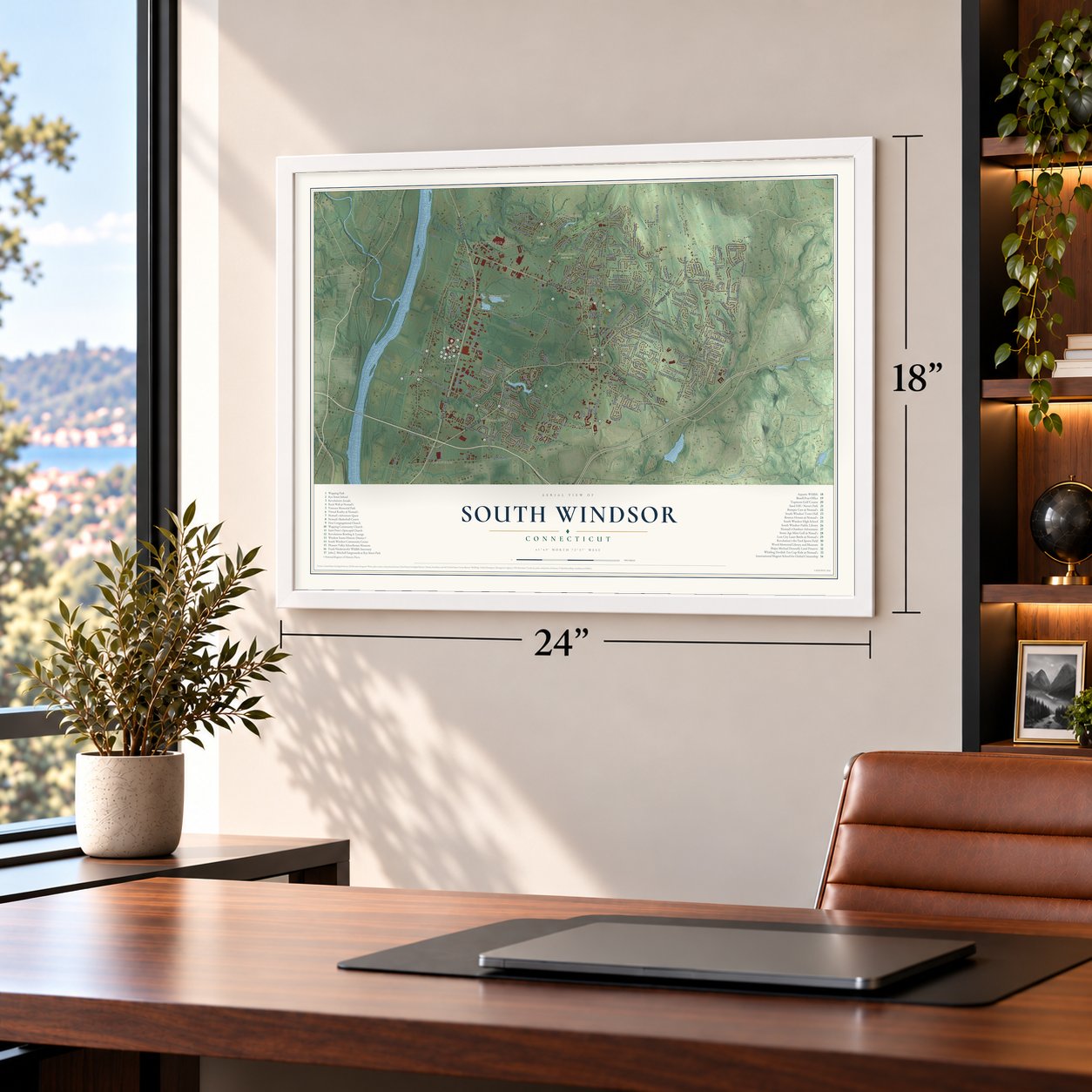
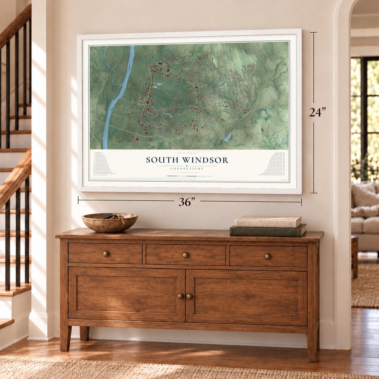
Unframed archival matte, a black wood frame or a white wood frame.
Up close
Geography Worth Displaying
This map was created using accurate cartographic data and authoritative geographic sources, including the U.S. Geological Survey (USGS) and FEMA. The map brings together terrain, waterways, roads, and building detail. The majority of the streets are labeled, houses are accurately depicted, and the topography is derived from government sources. Combining local data with carefully composed color and shading leads to this beautifully detailed South Windsor artwork for your wall.
Rather than simply showing street outlines, we’ve included as many of the street names as we could reasonably fit on the map while keeping their names legible. Zoom in on the high resolution preview to see exactly what’s on the map. We truly set out to create a statement piece for anyone who loves South Windsor. So whether it’s for you, or a gift for someone you love, we hope this map of South Windsor brings back fond memories.
Explore the full map of South Windsor, Connecticut and read about the local places it shows.

Find your street
Names on the South Windsor map
Every name below is printed on this map. Look for your street, your school, the park where you played, or the pond down the road.
Places and landmarks11
- Downtown
- Burnham
- Tudor Hill
- Brickyard Pond
- Cast and Blast Pond
- Rye Street Park
- Willow Brook Golf Course
- Wapping Mews Elderly Housing
- East Windsor Hill
- Wapping
- Farnhams
Streets and roads213
- Ellington Road
- Oakland Road
- Sullivan Avenue
- John Fitch Boulevard
- Buckland Road
- Main Street
- Strong Road
- Pleasant Valley Road
- Avery Street
- Chapel Road
- Burnham Street
- Clark Street
- Graham Road
- Nevers Road
- Governors Highway
- Griffin Road
- Deming Street
- Foster Street
- Rye Street
- Newberry Road
- Dart Hill Road
- Niederwerfer Road
- Miller Road
- Barber Hill Road
- Quarry Brook Drive
- Abbe Road
- Foster Road
- Felt Road
- Benedict Drive
- Beelzebub Road
Show all 213 streets
- Abbe Road Extended
- Long Hill Road
- Troy Road
- Smith Street
- Hilton Drive
- King Street
- Pierce Road
- Brookfield Street
- Scott Drive
- Vibert Road
- Burgess Road
- Ferry Lane
- Oak Street
- Diane Drive
- Kelly Road
- Lefoll Boulevard
- Lawrence Road
- Nutmeg Road North
- Kent Lane
- West Road
- Fairview Drive
- Orchard Hill Drive
- Northview Drive
- Cornerstone Drive
- Brook Street
- Trumbull Lane
- Farnham Road
- Palmer Drive
- Tumblebrook Drive
- Norton Lane
- Skyline Drive
- Gilbert Lane
- Lisa Drive
- Hillside Drive
- Rimfield Drive
- Laurel Street
- Carriage Drive
- Birch Hill Drive
- Dogwood Lane
- Debbie Drive
- Pheasant Way
- Frazer Fir Road
- Old Farm Road
- Clinton Drive
- Garnet Lane
- Lake Street
- South Satellite Road
- Maskel Road
- Ayers Road
- Jacques Lane
- Cliffwood Drive
- Bayberry Trail
- Loomis Road
- Edgewood Drive
- Bourbon Street
- Ivy Lane
- Judy Lane
- Margaret Drive
- McGrath Road
- Gray Road
- Arthur Drive
- Rosemary Lane
- Berle Road
- Gail Lane
- Rockledge Drive
- Bridlewood Road
- Hayes Road
- Mark Drive
- Ridge Road
- Quail Run
- Beldon Road
- Gorski Drive
- Slater Street
- Ident Road
- Sally Drive
- Gordon Drive
- Murray Road
- Pepin Place
- Lewis Drive
- Alison Drive
- Judge Lane
- Hazel Street
- Kimberly Drive
- Tamarack Avenue
- Talcott Ridge Road
- Nutmeg Road South
- Foster Street Extended
- Sand Hill Road
- Morgan Farms Drive
- Wood Pond Road
- Scantic Meadow Road
- Austin Circle
- Mill Pond Drive
- Lakewood Drive
- Oxford Drive
- Valley View Drive
- Oakwood Drive
- New Marker Road
- Evergreen Way
- Fitch Meadow Lane
- Mohegan Trail
- Steep Road
- Cody Circle
- High Street
- Collins Crossing
- Deepwood Drive
- Edwin Road
- Corporate Place
- Highland Drive
- Frazier Fir Road
- North King Street
- Stonefield Trail
- Greenfield Drive
- Carson Way
- Tallwood Drive
- Willow Street
- Speilman Road
- Victorian Woods Lane
- Deerfield Lane
- Birch Road
- Glenwood Road
- Joseph Lane
- Bailey Circle
- Sand Stone Drive
- Sunset Terrace
- Krawski Drive
- Pond Lane
- Ash Road
- Hollis Road
- Oxbow Lane
- Clover Drive
- Church Way
- Amato Drive
- Sele Drive
- Flax Hill
- Berry Patch
- Natsisky Farm Road
- Pine Tree Lane
- Farmstead Drive
- Longmeadow Drive
- Saint Marc Circle
- Watson Farm
- Wheeler Road
- Stanley Drive
- Bramblebrae
- Country View Drive
- Gerber Road East
- Ronda Drive
- Highview Road
- Vintage Lane
- Summer Hill Drive
- Elizabeth Street
- Dawn Drive
- Devonshire Drive
- Dzen Way
- Juniper Lane
- Ann Road
- Glendale Road
- Windy Hill Drive
- Sharon Drive
- Mascolo Road
- Kennedy Road
- Red Rock Lane
- Patria Road
- Twin Circle Drive
- Commerce Way
- Homestead Drive
- Cambridge Drive
- Murielle Drive
- Spinners Run
- High Tower Drive
- Sweet Meadow Drive
- Cadbury Lane
- Jessica Drive
- Paper Chase
- Rainbow Trail
- Johnathan Lane
- Parkview Drive
- Peach Tree Lane
- Spruce Lane
- Corneau Way
- Tomel Drive
- Elm Street
Names are listed as they appear on the printed map. Zoom into the product photos to find them.
About South Windsor, Connecticut
South Windsor is a town of 26,918 people in Hartford County, set along the Connecticut River's east bank. In 1638 families from Windsor crossed the river to East Windsor Hill, and starting in 1648 John Bissell's ferry carried them over to the west bank.
By 1700 many families lived on the east side, and in 1768 it became the town of East Windsor, which then also took in present East Windsor and Ellington. Ellington left in 1786, and South Windsor was set off as a town of its own in 1845. Tobacco made its farmers rich in the 1800s, shade-grown leaf for cigar wrappers arrived in 1901, and after 1950 the farm town grew into a suburb.
“There were no easy carriages or even wagons in those early days, and the fathers and mothers went to meeting on horseback, taking such of the children as could be carried in front on the horse or behind.”
- The Wapping barnIn 1761 the 200 residents of Wapping parish, spread over 32 houses, protested that getting to church on the Street meant a trip of four and a half miles through the wilderness. Their first meetinghouse, built about 1765, had its upper windows boarded over and was used only in warm weather, so people called it the Wapping barn. In 1789 young men on a frolic tore it down, and a new meeting house went up in 1801.
- Birthplace of John FitchBy 1788 his steamboat was running regular trips at Philadelphia, and Washington, Jefferson and Knox put their names to his patent in 1791.
- The Ebenezer Grant HouseSamuel Grant, an ancestor of Ulysses S. Grant, had moved to East Windsor Hill by 1672. Ebenezer Grant built his house there in 1757 and 1758, and its rear ell is thought to hold Samuel Grant's house of 1695. Known for its carved Connecticut River doorway, the house held William Franklin, the Loyalist governor of New Jersey, and the British general Richard Prescott during the Revolution. It joined the National Register in 1977.
- A seminary on the hillCongregational ministers won a charter in 1834 for the Theological Institute of Connecticut and built it at East Windsor Hill. Its first president, Bennett Tyler, put up a Greek Revival house in 1835. Over time the hill seemed too remote, so the school left for Hartford in 1865 and later became the Hartford Seminary.
- Jonathan Edwards, born 1703Timothy Edwards became the first minister on the east side of the river in 1698, and his church stood on Main Street. His son Jonathan, the theologian, was born here on October 5, 1703. Timothy Edwards is buried in the Main Street cemetery, and the town's middle school carries his name.
Keep exploring Connecticut
South Windsor is one of 375 Connecticut towns we've mapped. Every dot on the map is a print of its own.
The search covers every state, Connecticut first.
Near South Windsor
Order 2 or more town maps and save 10%. Shown in the size and finish you picked above, so they hang as a set.
- East Windsor 12" x 18" / Archival Matte Print $39.99
- Manchester 12" x 18" / Archival Matte Print $39.99
- Broad Brook 12" x 18" / Archival Matte Print $39.99


More maps nearby: Vernon Center, Windsor, East Hartford, Windermere and Vernon.
The art of mapping a place
How This Map Was Made
Real places. Remarkable detail. Discover the layers that turn geographic data into a map of home.

The view from above
Aerial imagery reveals the character of the land: woodland, open fields, and the patterns of a place.

The shape of the land
Elevation data brings hills, valleys, and subtle changes in the landscape into view.

The details of home
Roads, waterways, and building footprints come together to make the map feel unmistakably local.

Geography becomes art
Considered color, shading, and typography bring the layers together in a map made for your wall.


Process illustrated with Mendon, Massachusetts. Aerial imagery: USDA NAIP. Terrain: USGS 3D Elevation Program. Map details and finished artwork: KNOWOL.
The Details
About This Print
Choose an archival matte print, or a black or white Ayous wood frame. The archival matte print is unframed.
Select your size and finish above to see the matching product image and price.
Materials & Craftsmanship
A contemporary map with the character of a classic atlas, printed on archival matte paper. Optional frames are made from Ayous wood.
Your printed map does not include the watermark shown in the full-map preview.
Shipping & Delivery
Free shipping within the United States. Every print is made to order in the USA.
Buying a gift? Add a note in your cart and we'll include it. We never put prices in the package.
Prints ship within 2 to 3 business days. Allow 7 to 10 days total from ordering for delivery. Timing may vary during holidays or periods of high order volume.
Read our shipping policy.
Returns and damaged prints
Each print is made to order. Change-of-mind refunds are not available after production.
If your print arrives damaged, misprinted or incorrect, contact support@knowol.com within 30 days of receiving it. Include your order number, photos and a description of the issue.
Read our full refund and replacement policy. For questions about your order, email support@knowol.com.