
Search for another town
Free U.S. delivery 7 to 10 days after you order
East Windsor, Connecticut Map Art
Building by building, with labeled streets and shaded relief.
12" x 18" Archival Matte Print
A Map of Home. A Work of Art.
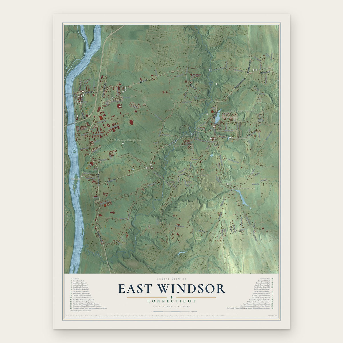
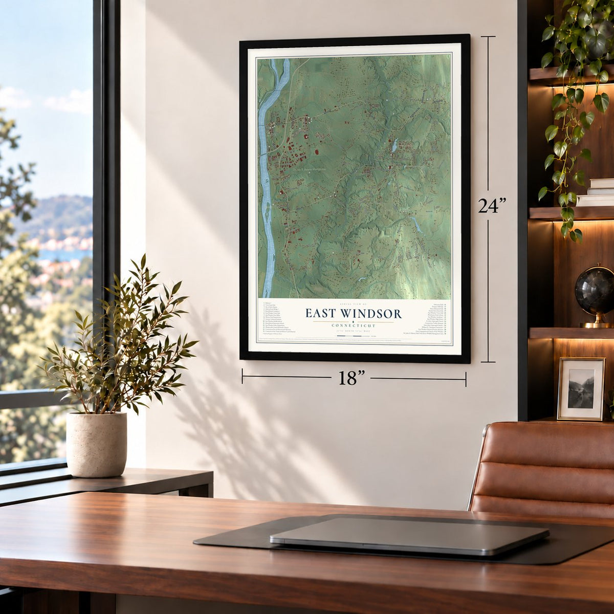
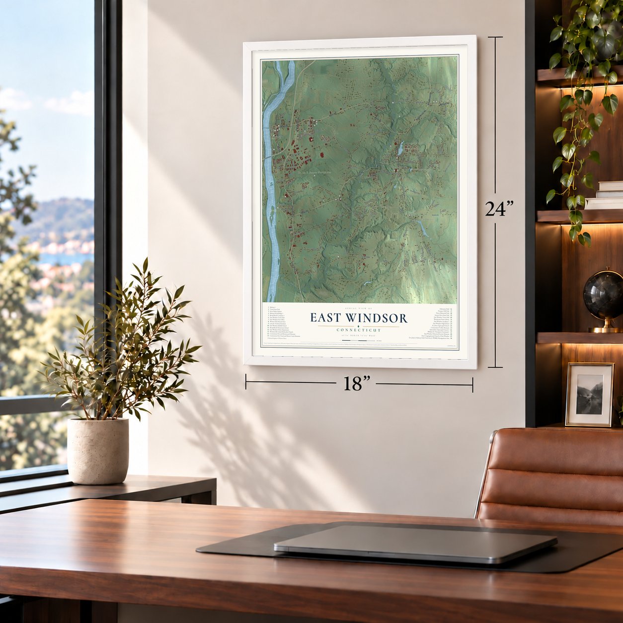
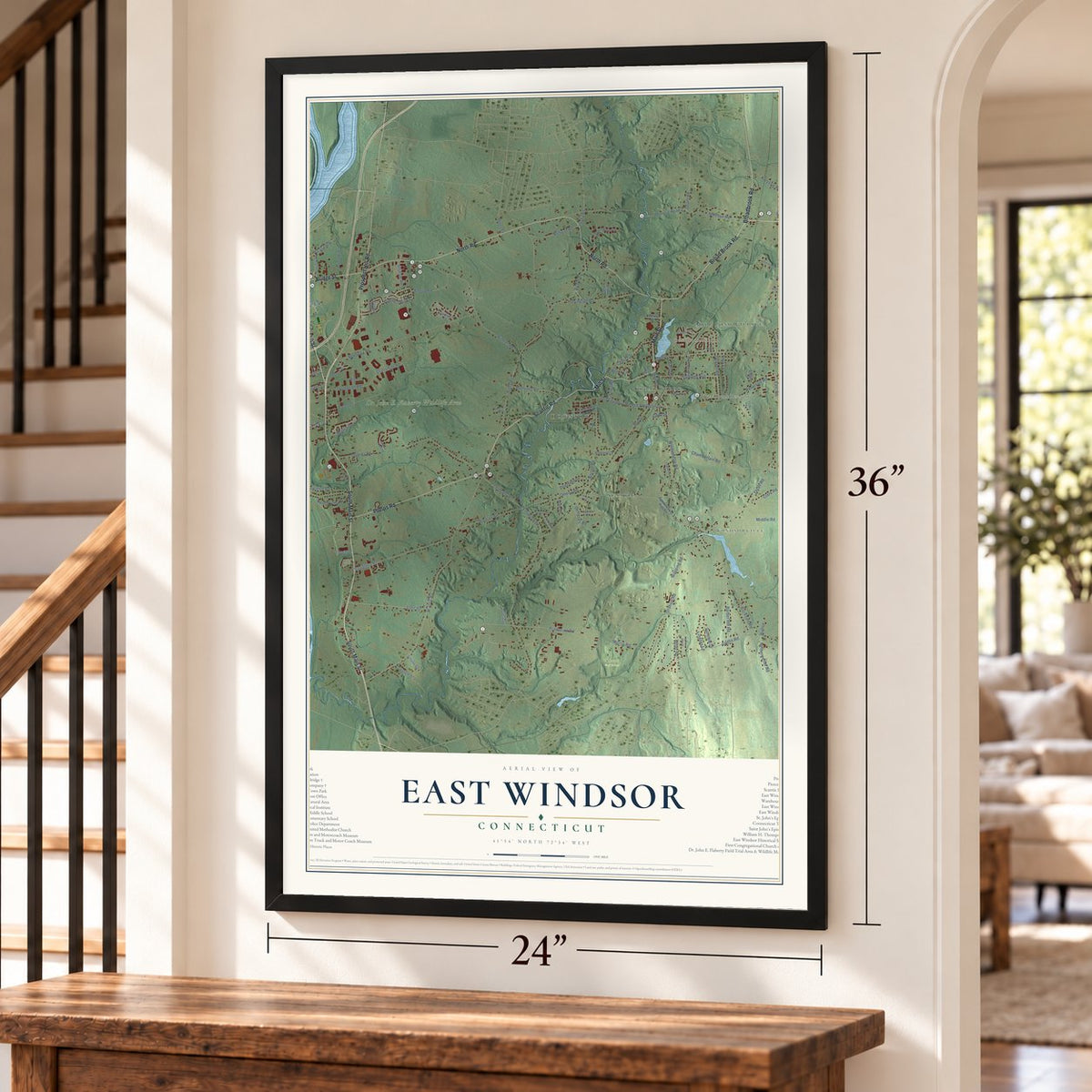
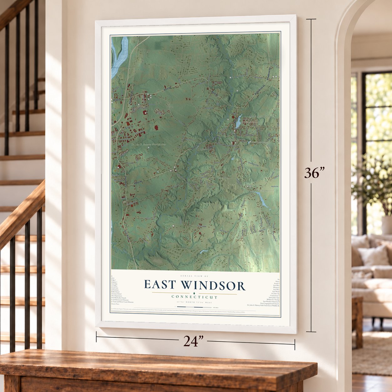
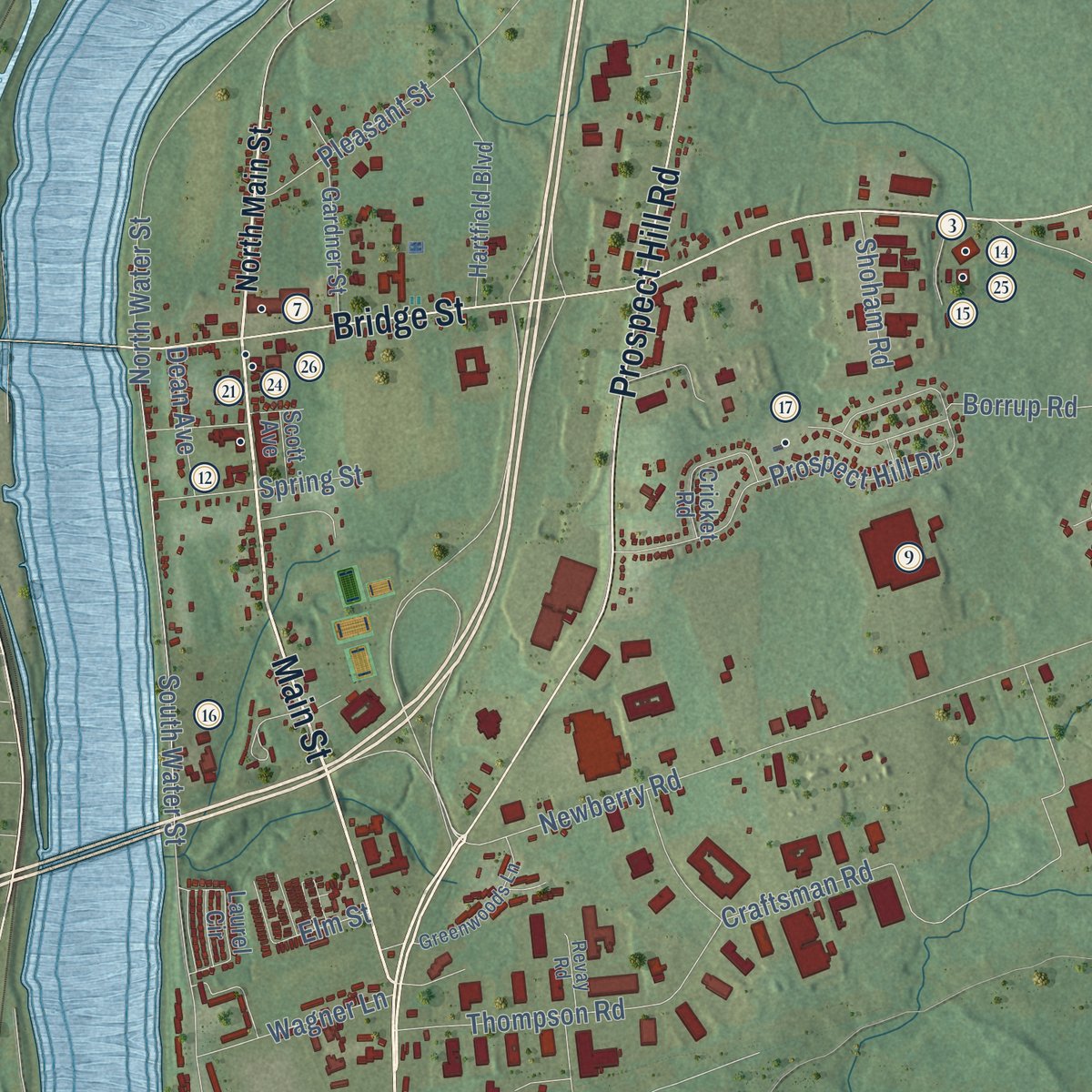
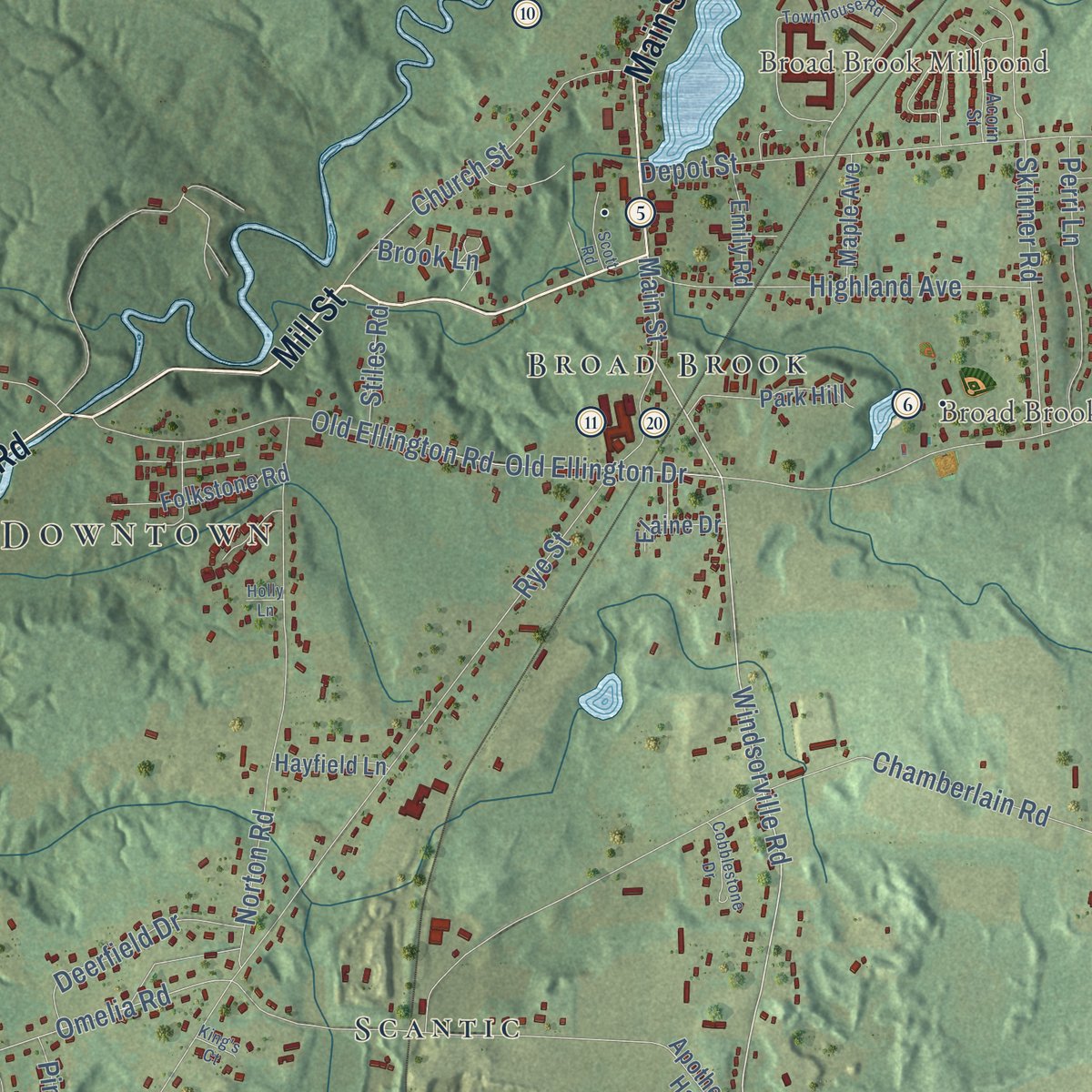
Explore East Windsor, Connecticut from a whole new perspective. Created using aerial imagery and detailed geographic data, this map captures East Windsor building by building, with labeled streets, familiar landmarks, and shaded topographical relief that highlights the natural contours of the landscape.
Combining modern data with the timeless character of a vintage atlas, this map is just as interesting up close as it is beautiful on the wall. Whether you grew up in East Windsor, spent memorable years there, or call it home today, this unique map is a great way to celebrate a place that means something to you. Zoom in on the preview to look for your street, and then order a print to put your memories on the wall.

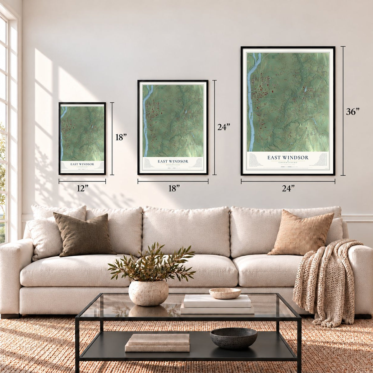
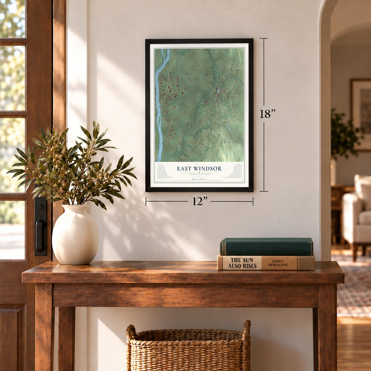
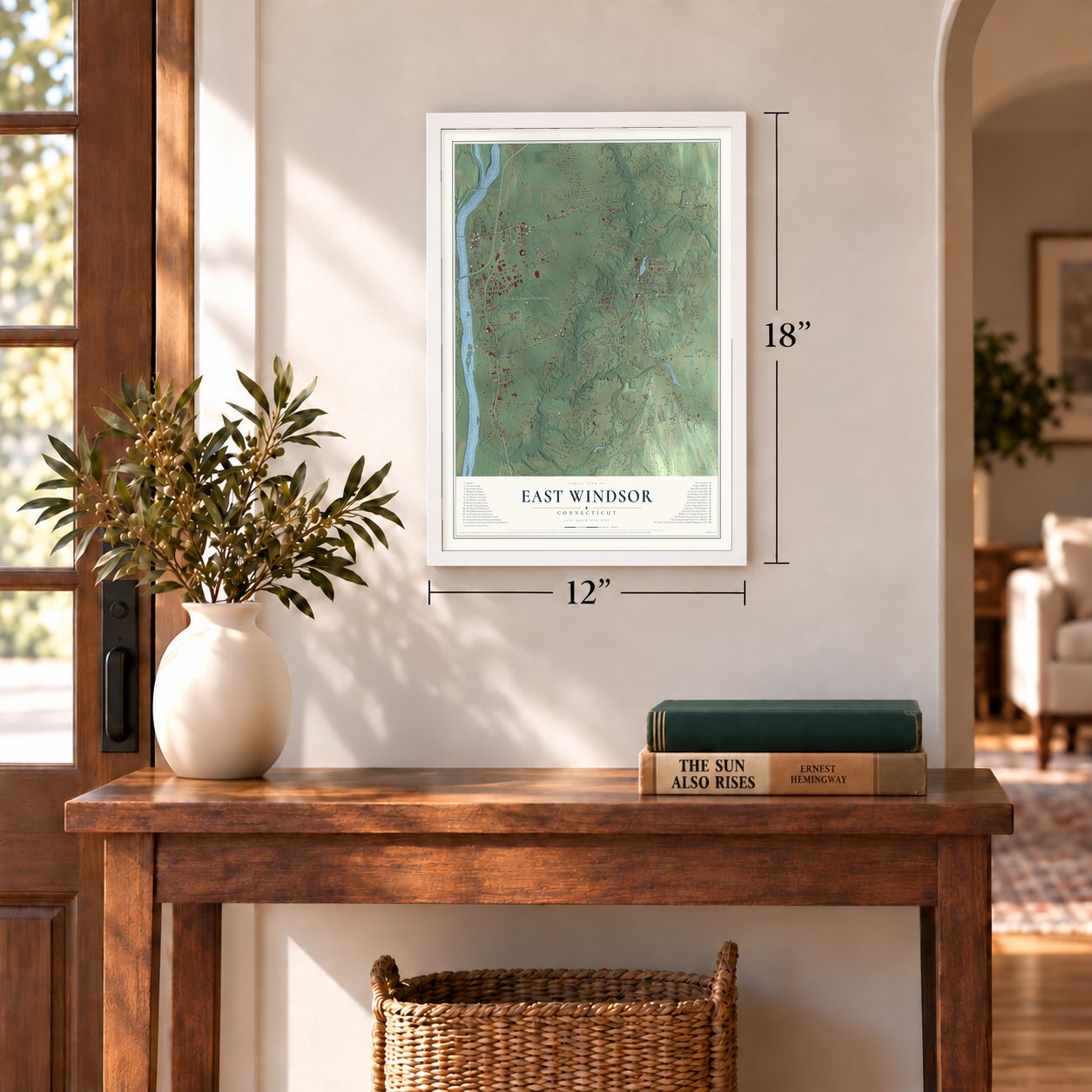
Three ways to hang it
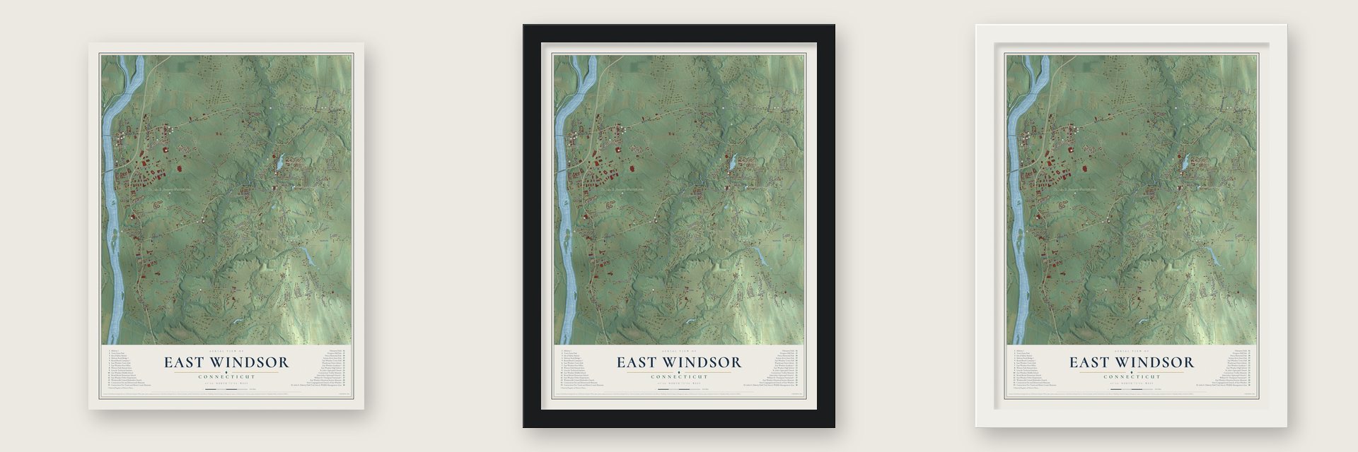
Unframed archival matte, a black wood frame or a white wood frame.
Up close
Geography Worth Displaying
This map was created using accurate cartographic data and authoritative geographic sources, including the U.S. Geological Survey (USGS) and FEMA. The map brings together terrain, waterways, roads, and building detail. The majority of the streets are labeled, houses are accurately depicted, and the topography is derived from government sources. Combining local data with carefully composed color and shading leads to this beautifully detailed East Windsor artwork for your wall.
Rather than simply showing street outlines, we’ve included as many of the street names as we could reasonably fit on the map while keeping their names legible. Zoom in on the high resolution preview to see exactly what’s on the map. We truly set out to create a statement piece for anyone who loves East Windsor. So whether it’s for you, or a gift for someone you love, we hope this map of East Windsor brings back fond memories.
Explore the full map of East Windsor, Connecticut and read about the local places it shows.
Find your street
Names on the East Windsor map
Every name below is printed on this map. Look for your street, your school, the park where you played, or the pond down the road.
Places and landmarks11
- Downtown
- Melrose
- Windsorville
- Turks Island
- Broad Brook Millpond
- Broad Brook Reservoir
- Dr. John E. Flaherty Wildlife Area
- Topstone Golf Course
- Scantic
- Broad Brook
- Mill Pond Village
Streets and roads129
- South Main Street
- Main Street
- Prospect Hill Road
- Scantic Road
- Mill Street
- Melrose Road
- North Road
- Broad Brook Road
- Broadbrook Road
- Phelps Road
- Bridge Street
- Windsorville Road
- Rockville Road
- Omelia Road
- Cemetery Road
- Wapping Road
- East Road
- Rye Street
- Wells Road
- Chamberlain Road
- Tromley Road
- Craftsman Road
- South Water Street
- Depot Street
- Winkler Road
- Newberry Road
- North Water Street
- Reservoir Road
- Stoughton Road
- Thrall Road
Show all 129 streets
- Old Ellington Road
- Griffin Road
- Melrose Road 2
- Miller Road
- Plantation Road
- Barber Hill Road
- Prospect Hill Drive
- Norton Road
- Rice Road
- Graham Road
- Thompson Road
- Abbe Road
- Harrington Road
- Middle Road
- Winton Road
- Kreyssig Road
- Woolam Road
- Margaret Drive
- Deerfield Drive
- Highland Avenue
- Clark Road
- Pasco Drive
- Church Street
- Old Ellington Drive
- Mahoney Road
- Wolfersdorf Road
- Rolocut Road
- Borrup Road
- Skinner Road
- Perri Lane
- Regina Drive
- Morris Road
- Azalea Court
- Neiderwerfer Road
- Meadowview Drive
- Ellsworth Road
- Spring Street
- Pleasant Street
- Wagner Lane
- Dempsey Road
- Pease Road
- Lindsay Lane
- Elm Street
- Shoham Road
- Grant Road
- Dean Avenue
- Riverview Drive
- Pine Drive
- Jessie Lane
- Sunview Drive
- Yosky Road
- Stiles Road
- Aspen Drive
- Brook Lane
- North Main Street
- Apothecaries Hall Road
- Fairway Drive
- Canyon Ridge Drive
- Sullivan Farms Road
- Hartfield Boulevard
- Goldfinch Court
- Allen Drive
- Park Hill
- Folkstone Road
- Gardner Street
- Laurel Circle
- Cricket Road
- Oakwood Drive
- Simone Drive
- Petticoat Lane
- Maple Avenue
- Emily Road
- Hayfield Lane
- Schank Road
- Mullen Road
- Elaine Drive
- Bridle Path
- Wesley Road
- Mathew
- Scott Avenue
- Greenwoods Lane
- Buckhorn Brook
- Tree Top Lane
- Acorn Street
- Brookwood Court
- Napoleon Drive
- Revay Road
- Sharon Lane
- Townhouse Road
- Eastwood Drive
- Plantation Road Extended
- Steeple Chase Road
- Cobblestone Drive
- Scott Road
- Hemlock Drive
- Joseph Farm Road
- Masons Brook Lane
- King's Court
- Holly Lane
Names are listed as they appear on the printed map. Zoom into the product photos to find them.
About East Windsor, Connecticut
East Windsor is a town of 11,190 people in Hartford County, set along the Connecticut River's east bank. In 1636 William Pynchon, who founded Springfield, put up a warehouse below the Enfield Falls, the point where seagoing ships had to unload. Most of the land around it belonged to Windsor, but Scantic grew into a parish of its own in 1752, and on May 10, 1768, Windsor's east side became the town of East Windsor.
For generations, freight came upriver on sloops and was shifted onto flatboats at Warehouse Point. That trade ended in 1809, when the first bridge at Hartford stopped the larger sloops from getting through. Tobacco kept the village going, and a tobacco warehouse stood there by 1825. In 1845 South Windsor was split off, leaving East Windsor with the northern half it holds today.
“When the Scantic meeting-house was built, near where it now stands, it was only a mile and a half from The Street, and yet the dwellers along that thoroughfare complained that it was too far off in the woods.”
- The drummer at the woodpileNews of Lexington reached town in April 1775 while the young drummer Asahel Stiles was splitting wood near today's Broad Brook. Family tradition says he sank his axe in the log, leaped the fence, threw his drum over his shoulder and ran to join the company gathering north of the Scantic meetinghouse. The next day the company set out for Roxbury.
- Rye fields and ginJohn Warner Barber figured in 1836 that the town had grown 70,000 bushels of rye in one season, and much of that grain went into gin. Barber thought distilling was finished, but it returned. Through the 1880s and 1890s the state register kept listing large amounts of rye gin from Warehouse Point, and from Melrose as well by 1897.
- A dinosaur in 1818Solomon Ellsworth Jr. was blasting out a well beside his house when he turned up some strange bones. They went to Yale, where they were eventually identified as an Anchisaurus. Yale still holds them today. His family's house, the Ellsworth Homestead, is still standing on Rye Street close to the South Windsor line.
- The Broad Brook millThe mill at the Mill Pond waterfall began in 1832, and in the late 1840s it was reorganized under the name Broad Brook Company. Around 1900 it had 300 workers weaving woolens, and by the 1930s it was making car upholstery cloth. It shut down in 1954. On Memorial Day weekend in 1986, fire destroyed the old mill during renovations, and the smoke could be seen from Hartford.
- Junius Morgan's schoolThe brick East Windsor Academy went up in Scantic in 1817 as a private school, and Junius Morgan, father of J. P. Morgan, studied there. Over the years the building was used as a parish hall, then as a school again, and later as apartments. It joined the National Register in 1998, and today it houses the historical society's museum.
Keep exploring Connecticut
East Windsor is one of 376 Connecticut towns we've mapped. Every dot on the map is a print of its own.
The search covers every state, Connecticut first.
Near East Windsor
Order 2 or more town maps and save 10%. Shown in the size and finish you picked above, so they hang as a set.
- Broad Brook 12" x 18" / Archival Matte Print $39.99
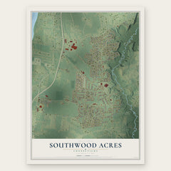
- Southwood Acres 12" x 18" / Archival Matte Print $39.99
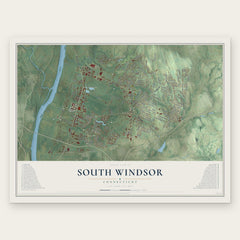
- South Windsor 12" x 18" / Archival Matte Print $39.99

More maps nearby: Windermere, Windsor Locks, Enfield, Windsor and Ellington.
The art of mapping a place
How This Map Was Made
Real places. Remarkable detail. Discover the layers that turn geographic data into a map of home.

The view from above
Aerial imagery reveals the character of the land: woodland, open fields, and the patterns of a place.

The shape of the land
Elevation data brings hills, valleys, and subtle changes in the landscape into view.

The details of home
Roads, waterways, and building footprints come together to make the map feel unmistakably local.

Geography becomes art
Considered color, shading, and typography bring the layers together in a map made for your wall.


Process illustrated with Mendon, Massachusetts. Aerial imagery: USDA NAIP. Terrain: USGS 3D Elevation Program. Map details and finished artwork: KNOWOL.
The Details
About This Print
Choose an archival matte print, or a black or white Ayous wood frame. The archival matte print is unframed.
Select your size and finish above to see the matching product image and price.
Materials & Craftsmanship
A contemporary map with the character of a classic atlas, printed on archival matte paper. Optional frames are made from Ayous wood.
Your printed map does not include the watermark shown in the full-map preview.
Shipping & Delivery
Free shipping within the United States. Every print is made to order in the USA.
Buying a gift? Add a note in your cart and we'll include it. We never put prices in the package.
Prints ship within 2 to 3 business days. Allow 7 to 10 days total from ordering for delivery. Timing may vary during holidays or periods of high order volume.
Read our shipping policy.
Returns and damaged prints
Each print is made to order. Change-of-mind refunds are not available after production.
If your print arrives damaged, misprinted or incorrect, contact support@knowol.com within 30 days of receiving it. Include your order number, photos and a description of the issue.
Read our full refund and replacement policy. For questions about your order, email support@knowol.com.