
Search for another town
Free U.S. delivery 7 to 10 days after you order
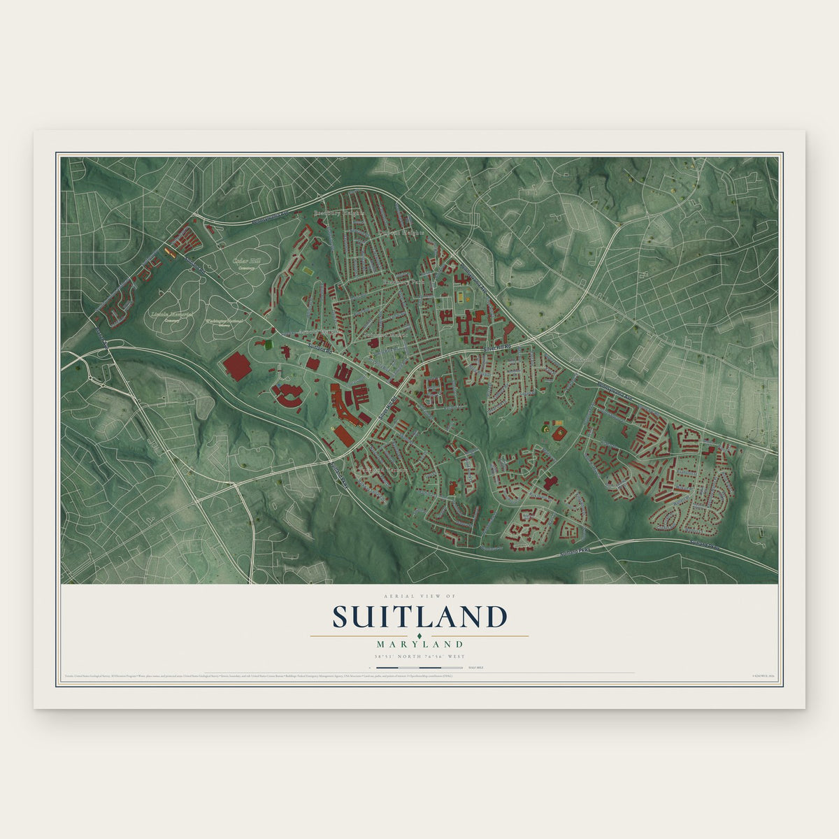
Suitland, Maryland Map Art
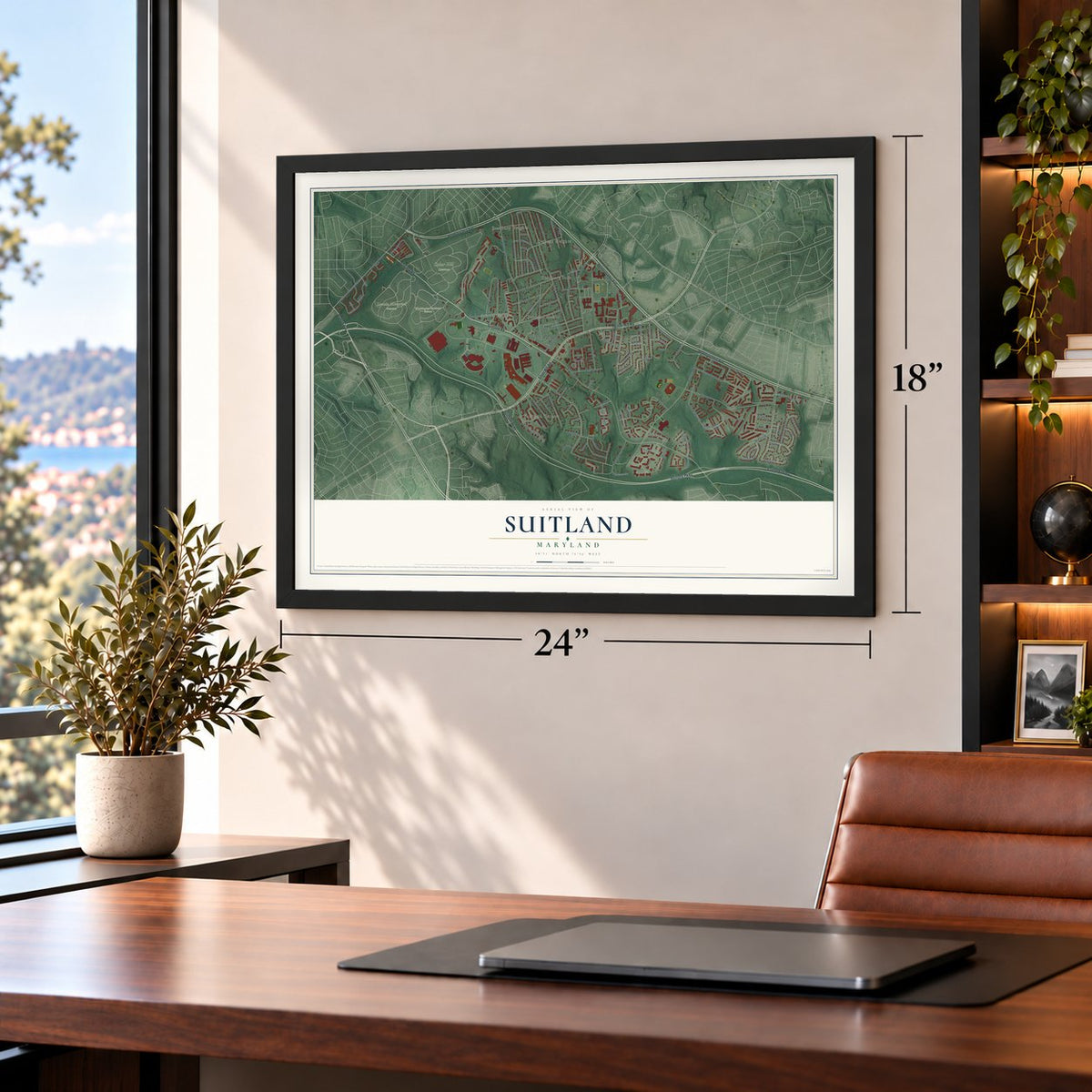
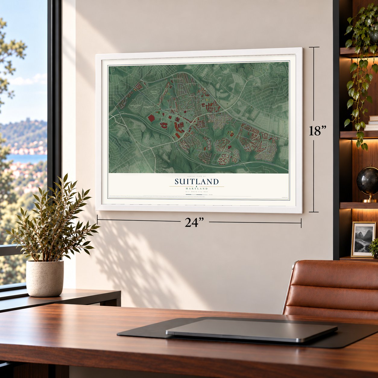
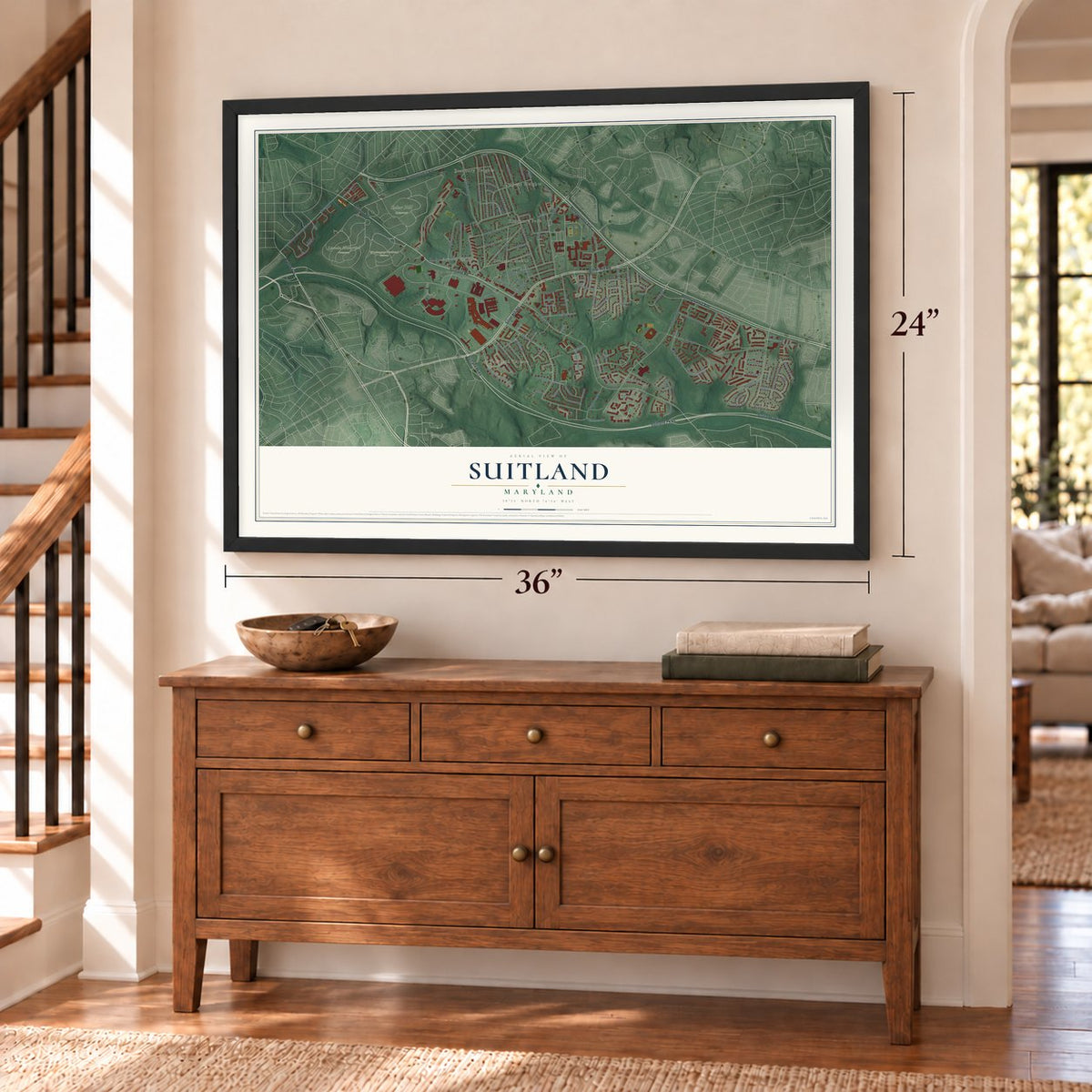
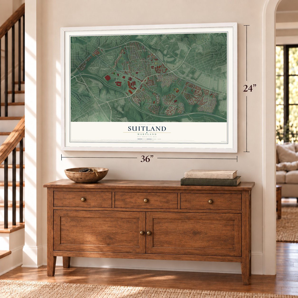
Building by building, with labeled streets and shaded relief.
12" x 18" Archival Matte Print
A Map of Home. A Work of Art.
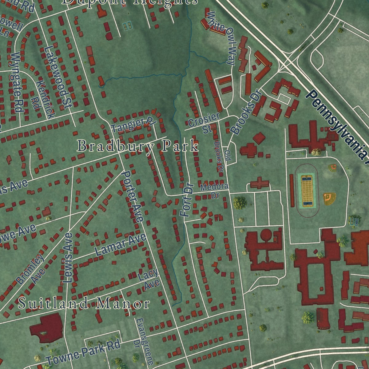
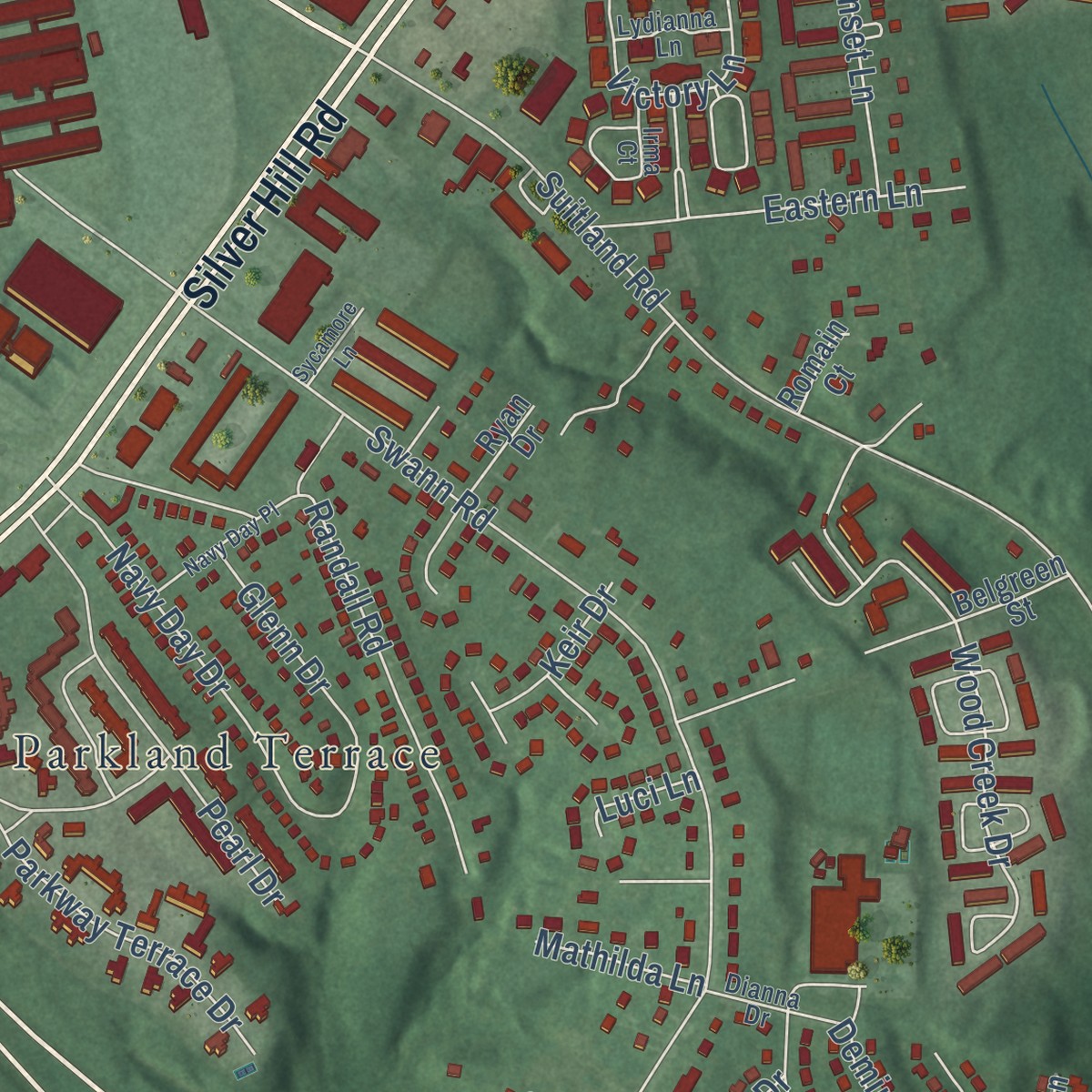
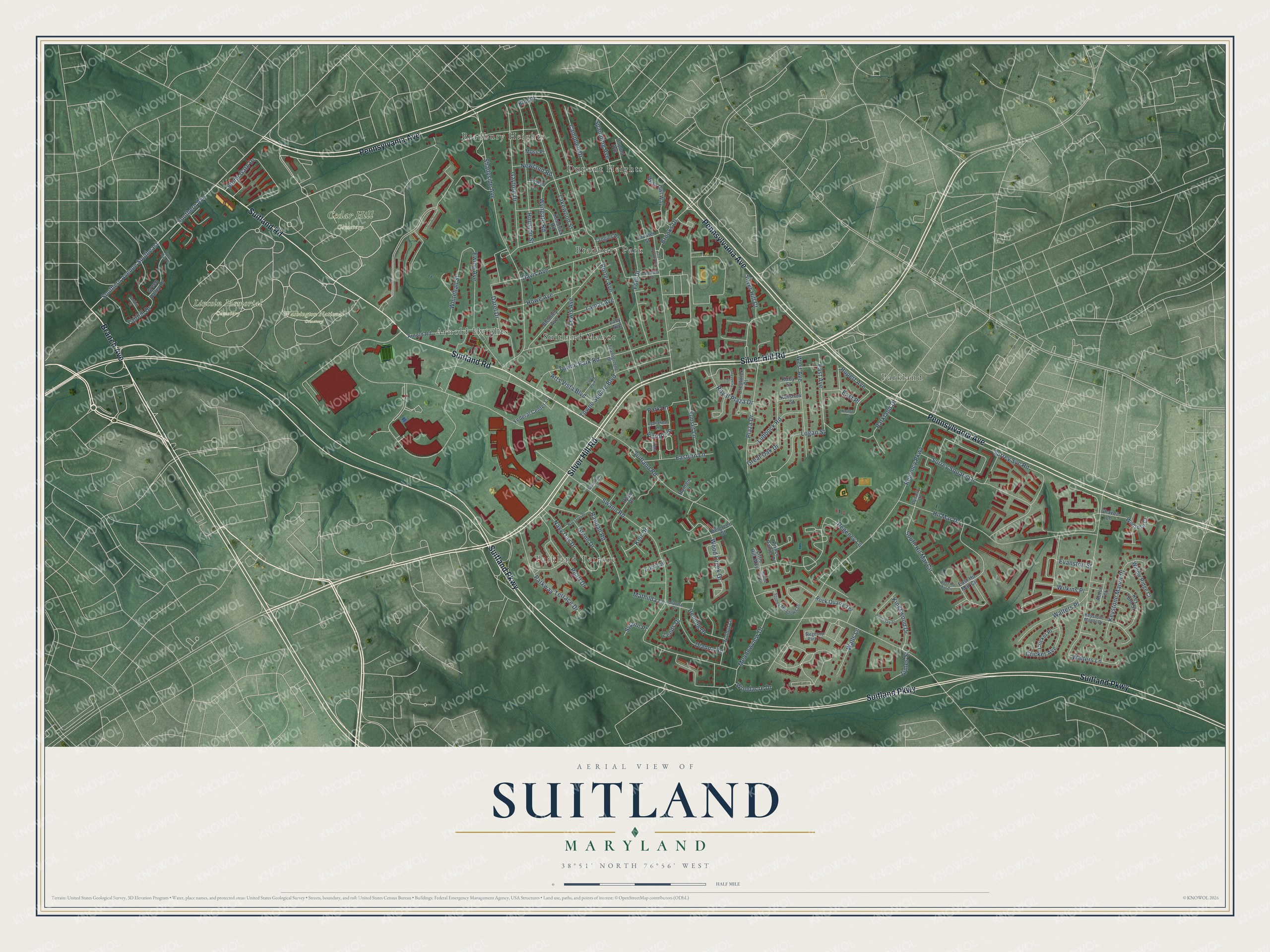
Explore Suitland, Maryland from a whole new perspective. Created using aerial imagery and detailed geographic data, this map captures Suitland building by building, with labeled streets, familiar landmarks, and shaded topographical relief that highlights the natural contours of the landscape.
Combining modern data with the timeless character of a vintage atlas, this map is just as interesting up close as it is beautiful on the wall. Whether you grew up in Suitland, spent memorable years there, or call it home today, this unique map is a great way to celebrate a place that means something to you. Zoom in on the preview to look for your street, and then order a print to put your memories on the wall.
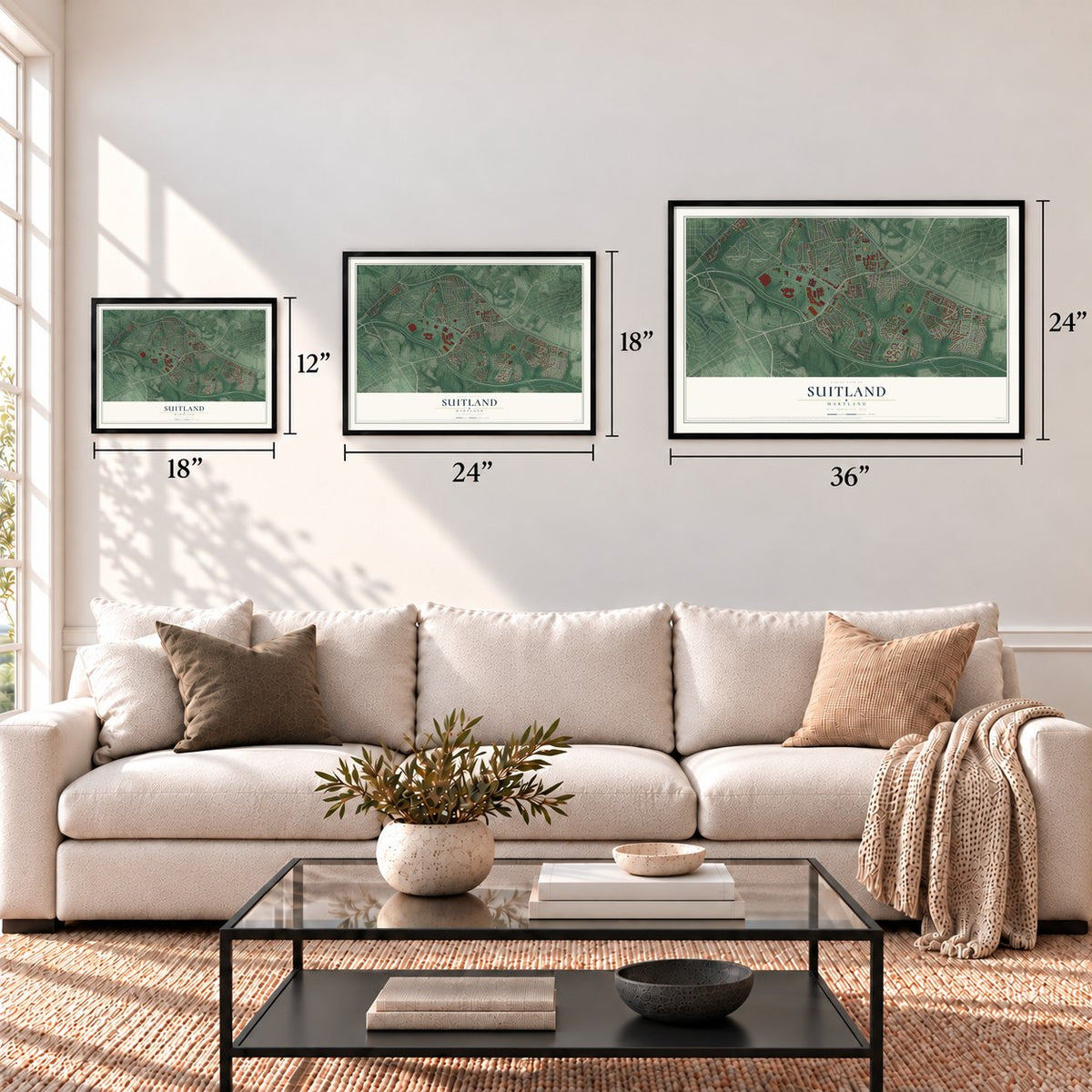
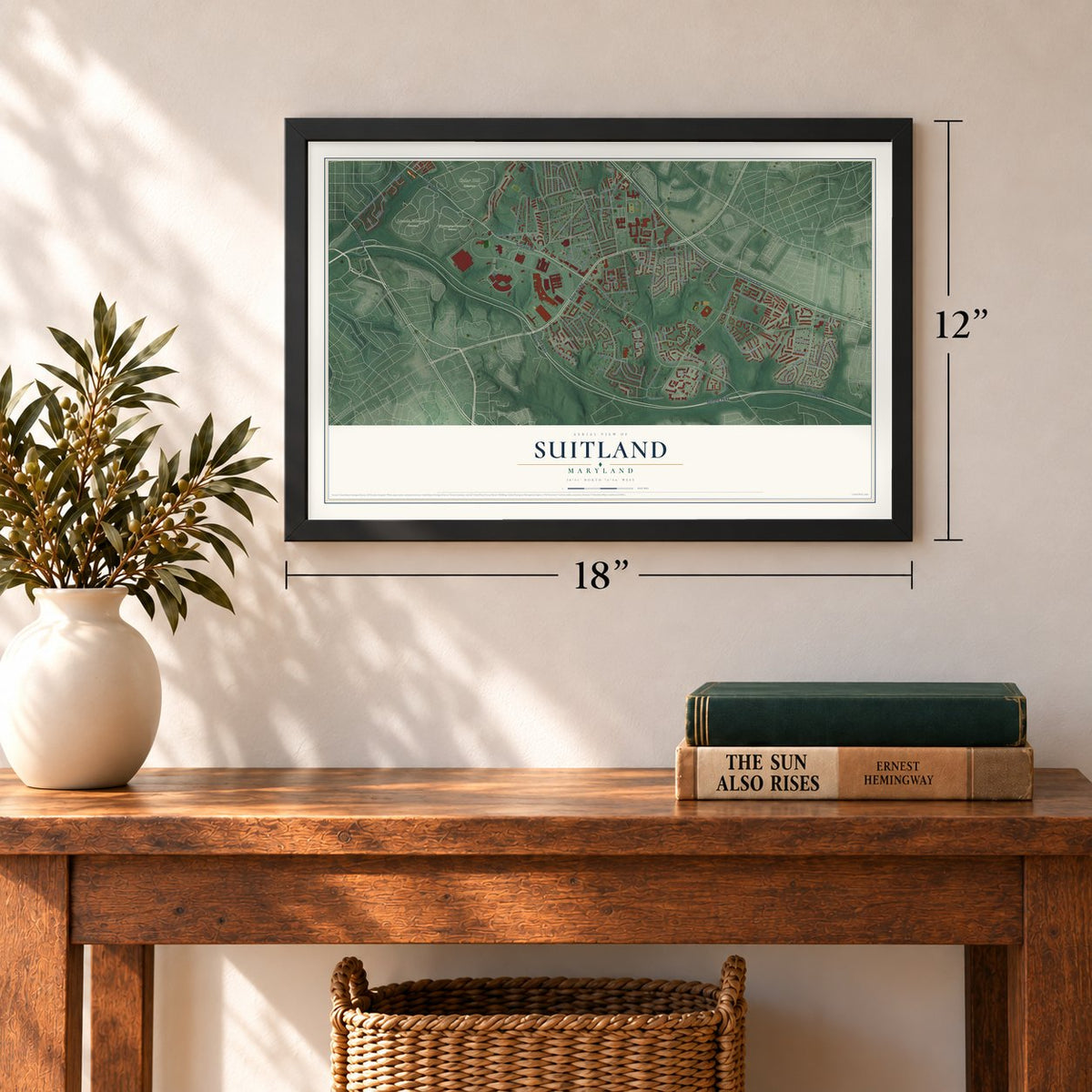
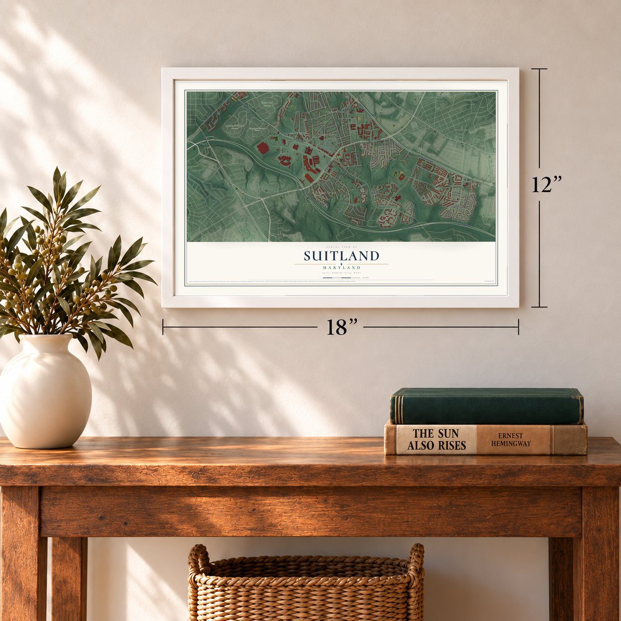
Three ways to hang it
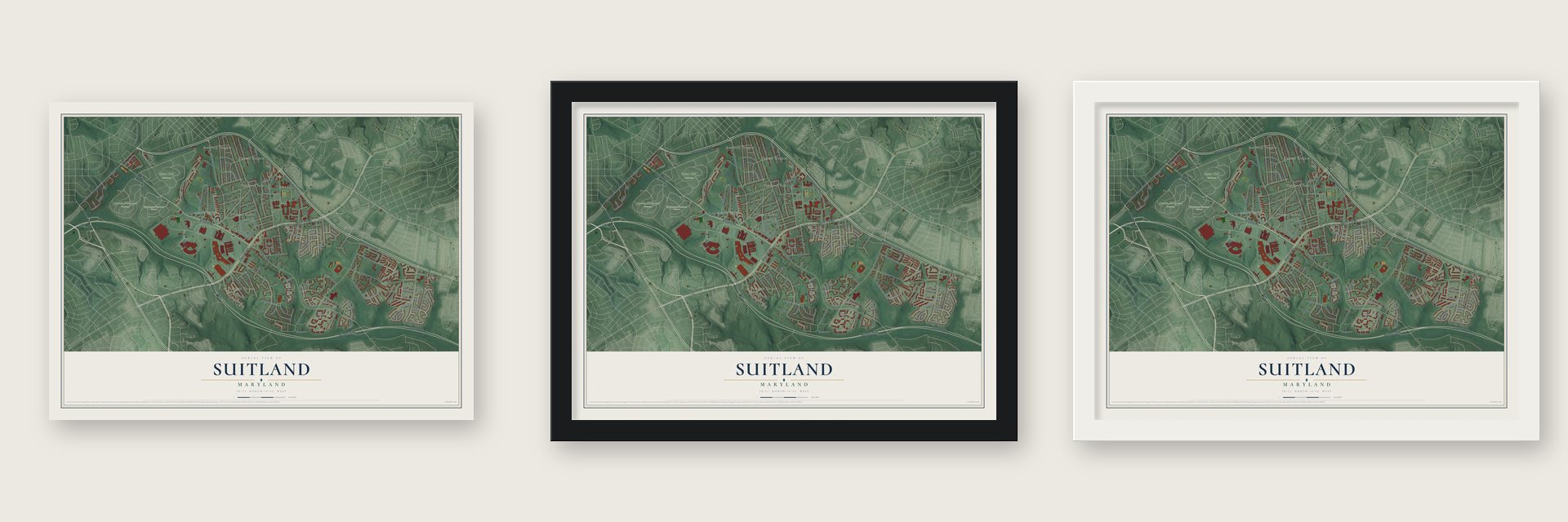
Unframed archival matte, a black wood frame or a white wood frame.
Up close
Geography Worth Displaying
This map was created using accurate cartographic data and authoritative geographic sources, including the U.S. Geological Survey and the Census Bureau. The map brings together terrain, waterways, roads, and building detail. The majority of the streets are labeled, houses are accurately depicted, and the topography is derived from government sources. Combining local data with carefully composed color and shading leads to this beautifully detailed Suitland artwork for your wall.
Rather than simply showing street outlines, we’ve included as many of the street names as we could reasonably fit on the map while keeping their names legible. Zoom in on the high resolution preview to see exactly what’s on the map. We truly set out to create a statement piece for anyone who loves Suitland. So whether it’s for you, or a gift for someone you love, we hope this map of Suitland brings back fond memories.
Read the story behind this map of Suitland, Maryland from 2026.
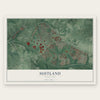
Find your street
Names on the Suitland map
Every name below is printed on this map. Look for your street, your school, the park where you played, or the pond down the road.
Places and landmarks10
- Cedar Hill Cemetery
- Lincoln Memorial Cemetery
- Washington National Cemetery
- Parkland
- Dupont Heights
- Parkland Terrace
- Suitland Manor
- Bradbury Park
- Arnold Heights
- Bradbury Heights
Streets and roads126
- Branch Avenue
- Suitland Parkway
- Pennsylvania Avenue
- Silver Hill Road
- Suitland Road
- East Avenue
- South Hil Mar Circle
- Wood Creek Drive
- Royal Plaza Drive
- Swann Road
- Regency Parkway
- Hil Mar Drive
- Porter Avenue
- Shadyside Avenue
- Southern Avenue
- Southern Avenue Southeast
- Walters Lane
- Surrey Svc Road
- Brooks Drive
- Lakewood Street
- Gaylord Drive
- Towne Park Road
- Stone Gate Drive
- Houston Street
- Davis Avenue
- Lewis Avenue
- Ewing Avenue
- Darel Drive
- Fairhill Drive
- Surrey Square Lane
Show all 126 streets
- Fort Drive
- Meadowview Drive
- Parkway Terrace Drive
- Randall Road
- Towne Square Boulevard
- Plaza Drive
- West Avenue
- Keystone Manor Place
- Campbell Drive
- Silver Hill Court
- Pearl Drive
- Sunset Lane
- Great Oak Drive
- Logan Street
- Whitehall Street
- Walters Place
- Howe Avenue
- Navy Day Drive
- Wyngate Road
- Dianna Road
- Victory Lane
- Spaulding Avenue
- Eastern Lane
- Glenn Drive
- Lubbock Road
- Cricket Avenue
- Parkland Drive
- Kingswood Drive
- Arts Vista Boulevard
- Deming Drive
- Walls Lane
- Keir Drive
- Regency Lane
- Lamar Avenue
- Newland Road
- East Place
- Rupert Avenue
- Woodacre Drive
- Evanston Street
- James Street
- Wilkins Place
- Mathilda Lane
- Elm Place
- Swann Place
- Park Lane
- Leeds Drive
- Luci Lane
- East Hil Mar Circle
- Bromley Avenue
- Lacy Avenue
- Arnold Road
- White Owl Way
- Rock Quarry Terrace
- Walnut Lane
- Dupont Avenue
- Belgreen Street
- Kendrick Road
- Key Turn Street
- Green Valley Drive
- Federal Center Lane
- Ryan Drive
- Willow Ridge Court
- Crosier Street
- Tangier Place
- Crestwick Place
- Cricket Place
- Wildrose Court
- Prince Ranier Place
- Chavez Lane
- Kershaw Street
- Kirby Street
- Little Hill Way
- Anton Terrace
- Moss Place
- Dowell Lane
- Romain Court
- Regency Park Court
- Stoney Meadows Drive
- Medora Drive
- Keystone Manor Drive
- Irma Court
- Evansgreene Drive
- Dianna Drive
- Lydianna Lane
- Dynasty Drive
- West Hil Mar Circle
- Daventry Terrace
- Ponderay Street
- Toles Park Drive
- Navy Day Place
- Oxon Run Place
- Fairhill Court
- Old Brooks Drive
- Sycamore Lane
- Round Hill Lane
- Norman Court
Names are listed as they appear on the printed map. Zoom into the product photos to find them.
About Suitland, Maryland
Suitland is a community of 25,839 people in Prince George's County, just southeast of Washington, D.C. Samuel Taylor Suit moved to Maryland in 1867 and bought more than 800 acres near the capital, and by 1878 he had opened a road from Silver Hill Road into the District. A village grew up where his road crossed Silver Hill Road, where a post office, a general store and a church stood among a handful of houses and farms, and it took the name of his estate, Suitland.
The village stayed rural until World War II. In 1941 the government bought 437 acres of farm and dairy land in Suitland to house offices needed for the war, and in 1942 the Census Bureau became the first agency to occupy a building there. Apartments such as Suitland Manor went up for the new federal workers, and by the 1950s the farms had given way to subdivisions and shopping centers.
- Presidents at the Suit estateUlysses S. Grant and Rutherford B. Hayes were among the guests at Suit's estate in the 1870s and 1880s, and in 1871 it hosted early talks that led to the Geneva tribunal on the Alabama Claims. After Suit died in 1888, the land was sold off in pieces. His son Arthur kept three acres at the crossroads, where he ran a bar, a general store, a bowling alley and the village's one-room jail.
- Lincoln Memorial Cemetery, 1927Lincoln Memorial Cemetery opened in 1927 on the old Landon dairy farm, when cemeteries were segregated, to give African Americans a dignified place of burial. In those two decades, the 1920s and 1930s, just one other public cemetery for Black residents is known to have served the Washington area. Dr. Charles Richard Drew, who pioneered large blood banks in World War II, and the educator Nannie Helen Burroughs are buried there.
- A Victory Garden of 616 plotsIn 1943 Census Bureau employees turned 14 acres of the Federal Center into the largest Victory Garden around Washington, split into 616 plots that they plowed and tended themselves. Garden plots were still rented there as late as 1989, when 110 of them went for $7.00 each for the summer. The Naval Intelligence Building now stands on the site.
- Suitland Parkway, 1944The Suitland Parkway opened in 1944 to link Bolling Field with the Camp Springs Army base that later became Andrews Air Force Base. Its 9.35 miles first carried only military traffic, under the name Fighter Command Station Access Parkway, and the National Park Service took it over in 1949.
Keep exploring Maryland
Suitland is one of 881 Maryland towns we've mapped. Every dot on the map is a print of its own.
The search covers every state, Maryland first.
Near Suitland
Order 2 or more town maps and save 10%. Shown in the size and finish you picked above, so they hang as a set.
- Silver Hill 12" x 18" / Archival Matte Print $39.99
- Coral Hills 12" x 18" / Archival Matte Print $39.99
- District Heights 12" x 18" / Archival Matte Print $39.99
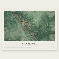


More maps nearby: Capitol Heights, Marlow Heights, Morningside, Hillcrest Heights and Walker Mill.
The art of mapping a place
How This Map Was Made
Real places. Remarkable detail. Discover the layers that turn geographic data into a map of home.

The view from above
Aerial imagery reveals the character of the land: woodland, open fields, and the patterns of a place.

The shape of the land
Elevation data brings hills, valleys, and subtle changes in the landscape into view.

The details of home
Roads, waterways, and building footprints come together to make the map feel unmistakably local.

Geography becomes art
Considered color, shading, and typography bring the layers together in a map made for your wall.


Process illustrated with Mendon, Massachusetts. Aerial imagery: USDA NAIP. Terrain: USGS 3D Elevation Program. Map details and finished artwork: KNOWOL.
The Details
About This Print
Choose an archival matte print, or a black or white Ayous wood frame. The archival matte print is unframed.
Select your size and finish above to see the matching product image and price.
Materials & Craftsmanship
A contemporary map with the character of a classic atlas, printed on archival matte paper. Optional frames are made from Ayous wood.
Your printed map does not include the watermark shown in the full-map preview.
Shipping & Delivery
Free shipping within the United States. Every print is made to order in the USA.
Buying a gift? Add a note in your cart and we'll include it. We never put prices in the package.
Prints ship within 2 to 3 business days. Allow 7 to 10 days total from ordering for delivery. Timing may vary during holidays or periods of high order volume.
Read our shipping policy.
Returns and damaged prints
Each print is made to order. Change-of-mind refunds are not available after production.
If your print arrives damaged, misprinted or incorrect, contact support@knowol.com within 30 days of receiving it. Include your order number, photos and a description of the issue.
Read our full refund and replacement policy. For questions about your order, email support@knowol.com.