
Search for another town



Free U.S. delivery 7 to 10 days after you order
Sunnyvale, California Map Art
A new map of Sunnyvale, California, made in 2026 and printed to order on thick archival matte paper.
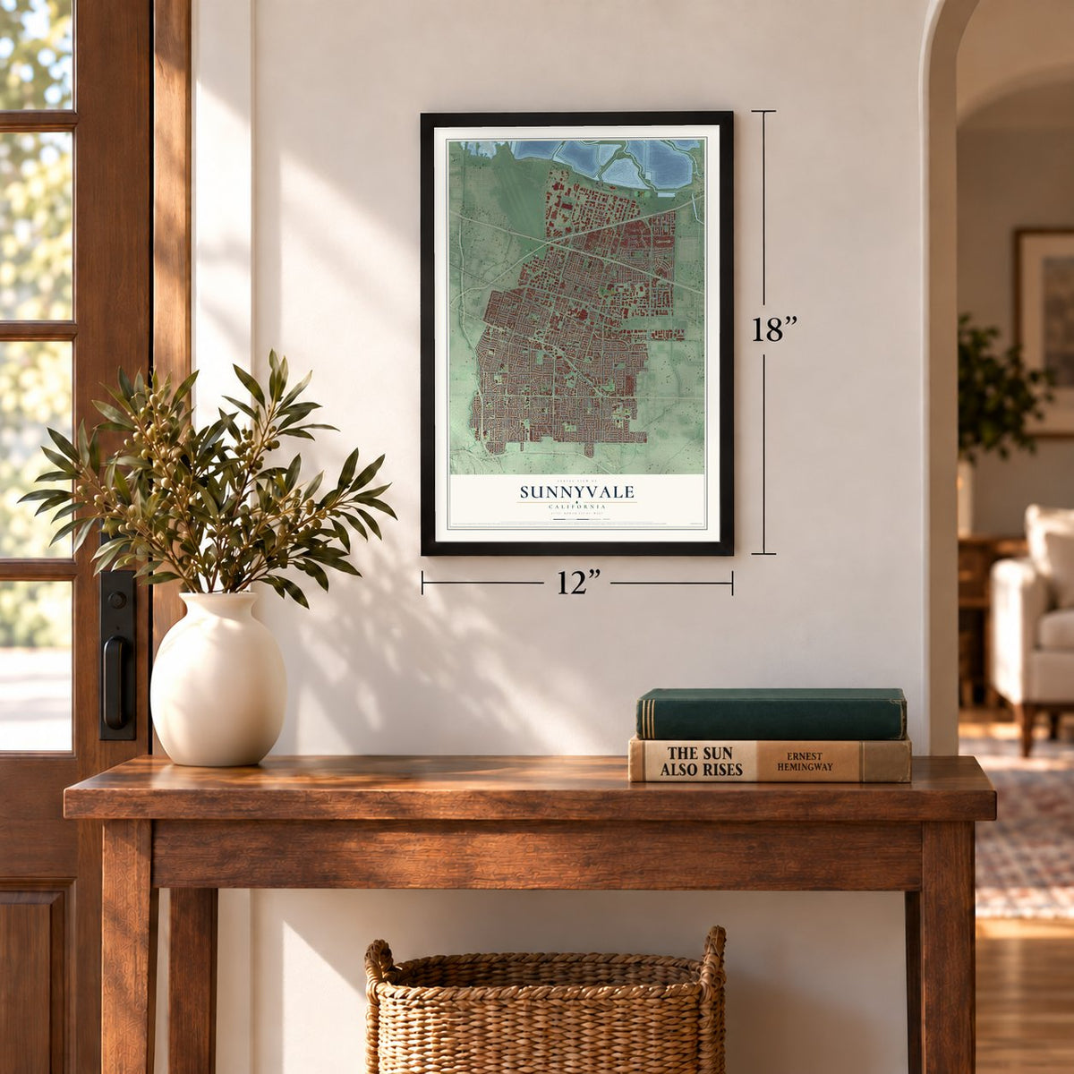
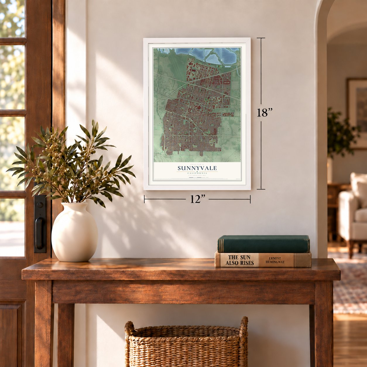
12" x 18" Archival Matte Print
A Map of Home. A Work of Art.
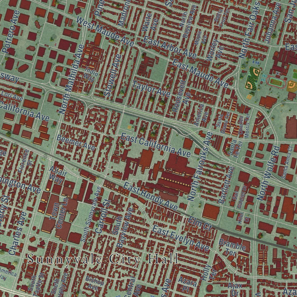
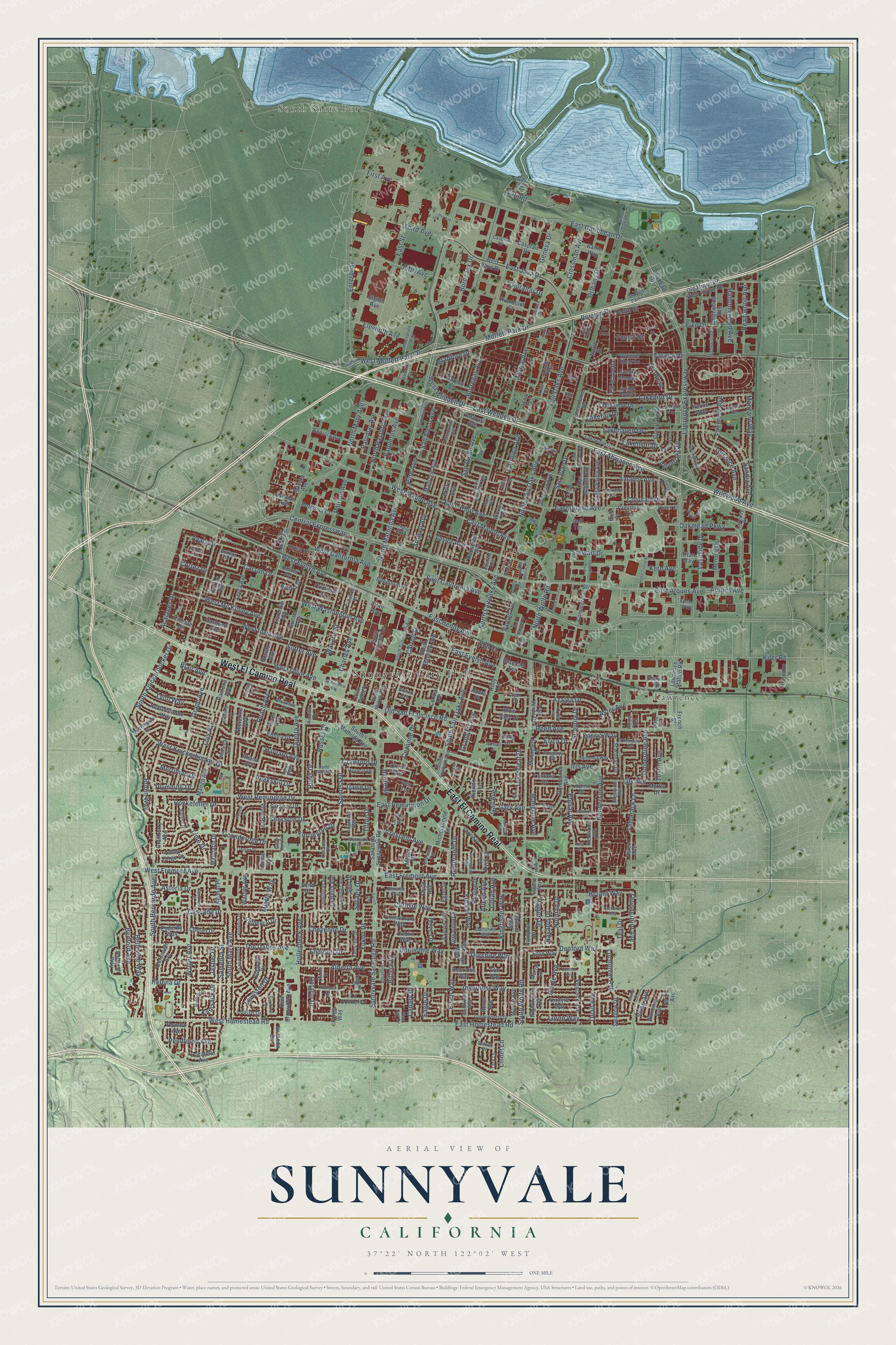
Explore Sunnyvale, California from a whole new perspective. Created using aerial imagery and detailed geographic data, this map captures Sunnyvale building by building, with labeled streets, familiar landmarks, and shaded topographical relief that highlights the natural contours of the landscape.
Combining modern data with the timeless character of a vintage atlas, this map is just as interesting up close as it is beautiful on the wall. Whether you grew up in Sunnyvale, spent memorable years there, or call it home today, this unique map is a great way to celebrate a place that means something to you. Zoom in on the preview to look for your street, and then order a print to put your memories on the wall.
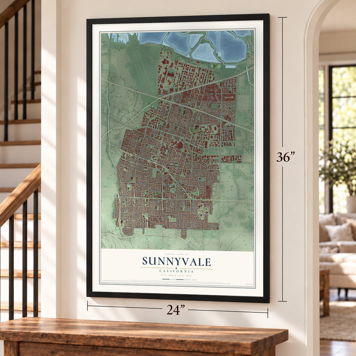
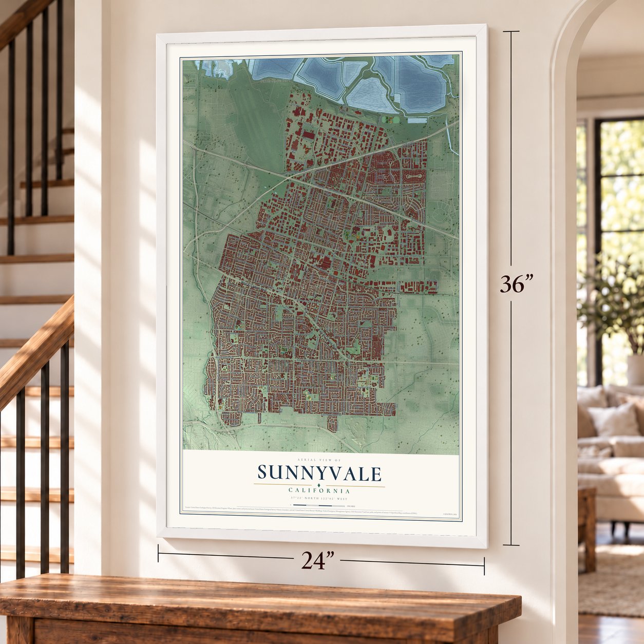
Three ways to hang it
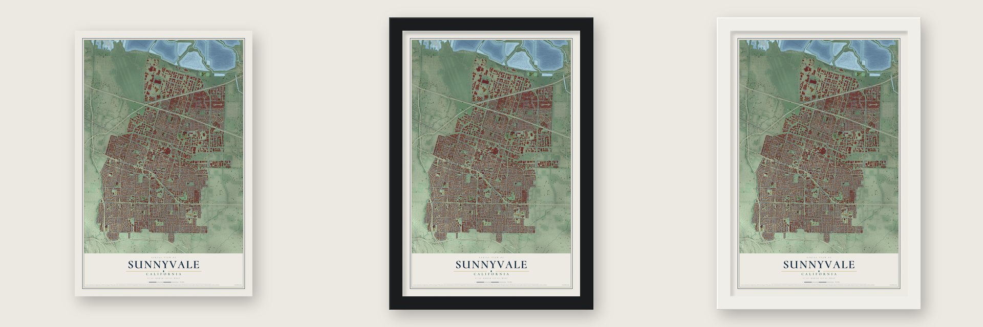
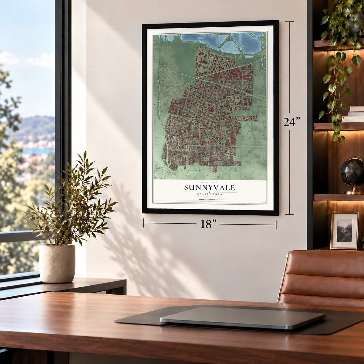
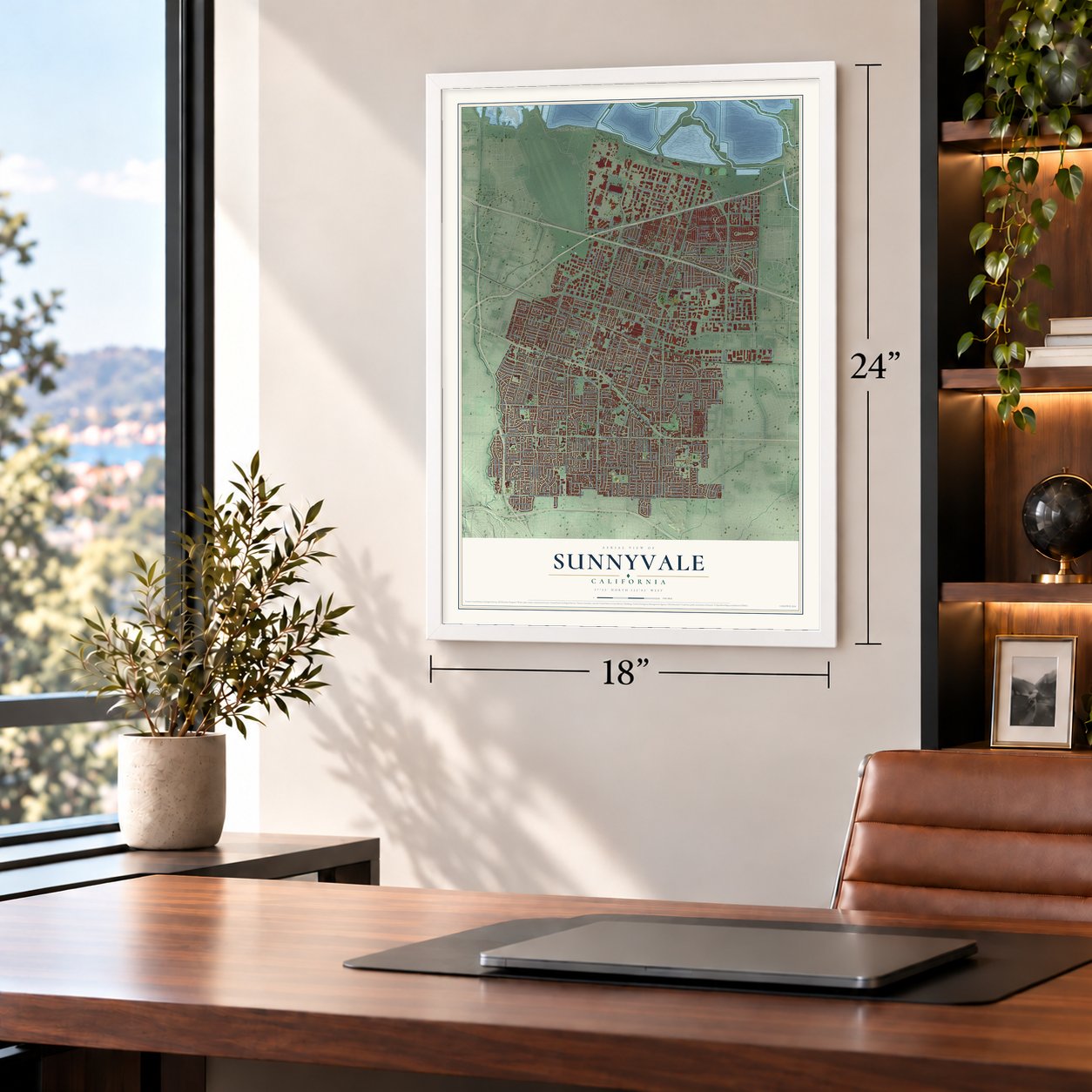
Unframed archival matte, a black wood frame or a white wood frame.
Up close
Geography Worth Displaying
This map was created using accurate cartographic data and authoritative geographic sources, including the U.S. Geological Survey and the Census Bureau. The map brings together terrain, waterways, roads, and building detail. The majority of the streets are labeled, houses are accurately depicted, and the topography is derived from government sources. Combining local data with carefully composed color and shading leads to this beautifully detailed Sunnyvale artwork for your wall.
Rather than simply showing street outlines, we’ve included as many of the street names as we could reasonably fit on the map while keeping their names legible. Zoom in on the high resolution preview to see exactly what’s on the map. We truly set out to create a statement piece for anyone who loves Sunnyvale. So whether it’s for you, or a gift for someone you love, we hope this map of Sunnyvale brings back fond memories.
Read the story behind this map of Sunnyvale, California from 2026.

About Sunnyvale, California
Sunnyvale is a city of 155,805 people in Santa Clara County, on the edge of San Francisco Bay. In 1850 Martin Murphy Jr., who had come west with his family in 1844, paid $12,500 for 4,894 acres of Rancho Pastoria de las Borregas. He turned the land into a wheat farm and ranch called Bay View, and in 1861 he let the San Francisco and San Jose Rail Road run its tracks across it, which gave the ranch a stop called Murphy's Station.
Murphy died in 1884, and his heirs split up the ranch. In 1897 the developer Walter Crossman bought 200 acres of orchard from Patrick Murphy and laid out a town he called Encinal. Alameda County already had an Encinal, so on March 24, 1901, the town became Sunnyvale, a name picked to lure people away from the fog near San Francisco. Residents voted to make it a city in 1912.
- Fruit cans and iron in 1906In 1906 Libby, McNeill & Libby, a Chicago meat packer, opened its first fruit-packing plant in Sunnyvale, where a water tower painted like the first Libby's fruit cocktail label still stands. That year the Joshua Hendy Iron Works moved here after the earthquake's fire destroyed its San Francisco building, becoming the town's first business outside farming. In World War II its workers built ship steam engines, Navy guns and rocket launchers.
- Mayor Edwina Benner, 1924Sunnyvale voters elected Edwina Benner mayor in 1924, her first term in the job. She was only the second woman to serve as a mayor anywhere in California.
- An airship base for $1In 1930 Congress chose Sunnyvale for the West Coast dirigible base, taking 1,000 acres of farmland along the bay from the city for $1. The Navy's field there was afterward given the name Naval Air Station Moffett, and today it is Moffett Federal Airfield.
- One department since 1950In 1950 the city joined its volunteer fire department and its paid police force into a single Department of Public Safety. Its people train as firefighters, police officers and EMTs, so any of them can answer any kind of emergency.
- Pong's first home, 1972In August 1972 Atari set its very first Pong prototype, a coin-operated machine for the first successful video game, inside Andy Capp's Tavern in Sunnyvale. The bar is now Rooster T. Feathers, and Atari kept its headquarters at 1196 Borregas Avenue in the north of the city.
Find your street
Names on the Sunnyvale map
Every name below is printed on this map. Look for your street, your school, the park where you played, or the pond down the road.
Places and landmarks3
- Sunnyvale City Hall
- Lawrence
- South Shore Port
Streets and roads447
- East El Camino Real
- West El Camino Real
- South Bernardo Avenue
- South Mary Avenue
- West Washington Avenue
- West Evelyn Avenue
- Lakeside Drive
- Kingfisher Way
- Tasman Drive
- Flicker Way
- Sunnyvale Saratoga Road
- Rockefeller Drive
- Robin Way
- North Mathilda Avenue
- Rembrandt Drive
- West Moffett Park Drive
- East Caribbean Drive
- Hollenbeck Avenue
- West Homestead Road
- East Arques Avenue
- Persian Drive
- Ontario Drive
- Moffett Park Drive
- West Weddell Drive
- East Evelyn Avenue
- East Homestead Road
- East Weddell Drive
- North Fairoaks Avenue
- Poplar Avenue
- Lawrence Expressway
Show all 447 streets
- Central Expressway
- South Wolfe Road
- North Fair Oaks Avenue
- West Fremont Avenue
- Borregas Avenue
- Kifer Road
- North Wolfe Road
- West Maude Avenue
- Morse Avenue
- East Duane Avenue
- West Remington Drive
- East Ahwanee Avenue
- West Iowa Avenue
- Inverness Way
- North Mary Avenue
- Cascade Drive
- West Mc Kinley Avenue
- West Olive Avenue
- Wright Avenue
- West Knickerbocker Drive
- Reed Avenue
- Old San Francisco Road
- Enterprise
- East Maude Avenue
- East Java Drive
- The Dalles Avenue
- Iris Avenue
- East Fremont Avenue
- East Street
- Belleville Way
- Stewart Drive
- Oakmead Parkway
- North Pastoria Avenue
- West California Avenue
- Bordeaux Drive
- Helena Drive
- Grape Avenue
- South Fair Oaks Avenue
- Lewiston Drive
- Carlisle Way
- East California Avenue
- Henderson Avenue
- Fifth Avenue
- Ticonderoga Drive
- Sandia Avenue
- Blair Avenue
- Lois Avenue
- Bittern Drive
- Lakehaven Drive
- Lochinvar Avenue
- Gail Avenue
- Bedford Avenue
- Aster Avenue
- Taylor Avenue
- Acalanes Drive
- Bryant Way
- Samedra Street
- Carroll Street
- Lakebird Drive
- Crossman Avenue
- Wildwood Avenue
- Third Avenue
- First Avenue
- Dunholme Way
- Fairwood Avenue
- Lorne Way
- East Arbor Avenue
- South Knickerbocker Drive
- Lynn Way
- Carson Drive
- Charles Avenue
- Crescent Avenue
- East Hendy Avenue
- Ayala Drive
- Quail Avenue
- Carl Road
- Azalea Drive
- East Remington Drive
- Amador Avenue
- Alberta Avenue
- Reamwood Avenue
- Hammerwood Avenue
- Lime Drive
- Geneva Drive
- Durshire Way
- Waverly Street
- Sheraton Drive
- Arques Avenue
- Lily Avenue
- Rubis Drive
- San Juan Drive
- Sequoia Drive
- Norman Drive
- Cheyenne Drive
- Manzano Way
- Lakemuir Drive
- Quetta Avenue
- Sutter Avenue
- Elko Drive
- Yukon Drive
- Potrero Avenue
- San Aleso Avenue
- Russet Drive
- Eleventh Avenue
- Dunford Way
- Orleans Drive
- Elm Court
- Torrance Avenue
- Tamarack Lane
- Thunderbird Avenue
- Spinosa Drive
- Astoria Drive
- Navarro Drive
- Palomar Avenue
- Timberpine Avenue
- Mangrove Avenue
- Ramon Drive
- Pendleton Avenue
- Cezanne Drive
- Oriole Avenue
- Harvard Avenue
- Azure Street
- Tenth Street
- Velvetlake Drive
- Peach Avenue
- Fair Oaks Avenue
- Vaqueros Avenue
- Stowell Avenue
- Linnet Lane
- Torrington Drive
- San Diego Avenue
- Finch Way
- Gibraltar Drive
- Lusterleaf Drive
- Peekskill Drive
- Bradford Drive
- Kamsack Drive
- Grand Fir Avenue
- Toyon Avenue
- Colusa Avenue
- Carolina Avenue
- Merrimac Drive
- Endicott Drive
- Cassia Way
- Dawn Drive
- Fourth Street
- Teal Drive
- Plymouth Drive
- Erica Drive
- Cll Isabella
- Crawford Drive
- Miette Way
- Sydney Drive
- Canary Drive
- Cll Alicia
- Arleen Avenue
- Lillian Avenue
- Kern Avenue
- Lakefair Drive
- Tilton Drive
- Gary Avenue
- Pine Avenue
- Jasper Drive
- Eagle Drive
- Vireo Avenue
- Cortez Drive
- Dove Lane
- Saratoga Sunnyvale Road
- South Mathilda Avenue
- Caribbean Drive
- Forge Way
- Michelangelo Drive
- Kitimat Place
- Bend Drive
- Central Avenue
- Holly Terrace
- Piedra Drive
- Van Dyck Drive
- Madrone Avenue
- Old Mountain View Alviso Road
- Avenue Ricardo
- West Java Drive
- Heron Avenue
- South Bayview Avenue
- Ponderosa Avenue
- Mango Avenue
- Lawrence Station Road
- Leota Avenue
- Sunset Avenue
- Mallard Way
- Floyd Avenue
- Lakechime Drive
- Manet Drive
- Commercial Street
- Pome Avenue
- Silverlake Drive
- Heatherstone Way
- Roosevelt Avenue
- Santa Paula Avenue
- Enderby Way
- Pecos Way
- Valley Forge Drive
- Macara Avenue
- Connemara Way
- Hampton Drive
- Peacock Avenue
- Mahogany Lane
- New Brunswick Avenue
- Greenlake Drive
- Kintyre Way
- San Miguel Avenue
- Ives Terrace
- Forgewood Avenue
- La Bella Avenue
- Benicia Avenue
- La Conner Drive
- Garner Drive
- Coronach Avenue
- Firebird Way
- Vasquez Avenue
- Helen Avenue
- Nightingale Avenue
- Starbush Drive
- Cathedral Drive
- French Street
- Selo Drive
- Clarence Avenue
- Plum Avenue
- Corral Avenue
- Hermosa Court
- Ashcroft Way
- Pauline Drive
- Worley Avenue
- Klamath Drive
- Myrtle Drive
- Lantana Drive
- Johanna Avenue
- Town Center Lane
- Reed Terrace
- Lupine Drive
- Saranac Drive
- Beemer Avenue
- Caspian Drive
- Coolidge Avenue
- Noranda Drive
- Galt Terrace
- Mandarin Drive
- Warner Avenue
- Ramona Avenue
- Cranberry Avenue
- Waxwing Avenue
- Elmira Drive
- Bartlett Avenue
- Pocatello Avenue
- Swallow Drive
- Falcon Avenue
- Escalon Avenue
- Flamingo Way
- Eton Way
- Alturas Avenue
- Murre Lane
- Martin Avenue
- Nectarine Avenue
- Ithaca Avenue
- Redwood Avenue
- Pierino Avenue
- Humboldt Court
- Mercury Drive
- Calla Drive
- Dublin Way
- Bay Trail
- Piper Avenue
- Vicente Drive
- Louise Drive
- Uranium Drive
- Cirrus Way
- Crestline Terrace
- Chelan Drive
- Baltic Way
- Bramble Terrace
- Avenue Montez
- Palo Verde Drive
- Egret Drive
- Blue Sage Drive
- Hebrides Way
- Pick Place
- Waite Avenue
- Novato Avenue
- Sonora Court
- Payette Avenue
- Eighth Avenue
- Jena Terrace
- North Street
- Titan Way
- Wren Avenue
- Lund Terrace
- Flin Way
- Altair Way
- Ajax Drive
- Azara Place
- South Sunnyvale Avenue
- South Murphy Avenue
- Chopin Drive
- Bidwell Avenue
- Lakewood Drive
- North Bayview Avenue
- Smart Station Trail
- Florence Street
- Manzanita Avenue
- Dartshire Way
- Innovation Way
- Londonderry Drive
- Albatross Drive
- South Taaffe Street
- Avenue Alondra
- Twinlake Drive
- South Fairoaks Avenue
- Indio Way
- Cordilleras Avenue
- Los Arboles Avenue
- Tenaka Place
- Goldfinch Way
- Alpine Terrace
- Lark Lane
- Buena Vista Avenue
- Greco Avenue
- Valcartier Drive
- Lori Avenue
- Birchwood Drive
- Rousseau Drive
- Maranta Avenue
- Sesame Drive
- Eleanor Way
- Gardenia Way
- Hyde Park Drive
- Crescent Terrace
- Innsbruck Drive
- Clematis Drive
- Pin Oak Drive
- Foxglove Drive
- Linden Avenue
- Mockingbird Lane
- Westside Avenue
- Brookline Drive
- Kelsey Drive
- Sugarpine Avenue
- Hyannis Drive
- Tangerine Way
- Kirkland Drive
- Duane Court
- Lakeway Drive
- Moffett Park Court
- Lachine Drive
- Apollo Way
- Berwick Way
- Caspian Court
- Reseda Drive
- Deer Hollow
- Hamlin Court
- Bodega Drive
- America Avenue
- Selkirk Place
- Bishop Avenue
- Santa Fe Terrace
- Blue Jay Drive
- Pyrus Way
- Kiel Court
- Manila Drive
- Kennewick Drive
- Castleton Way
- Blazingwood Drive
- De Guigne Drive
- Ahwanhee Avenue
- Prescott Avenue
- Arcadia Terrace
- Willow Avenue
- Trenton Drive
- Franchere Place
- Santa Trinita Avenue
- Lakedale Way
- Coachella Avenue
- Revere Drive
- Santa Ynez Street
- Honfleur Drive
- Circle Drive
- Santa Anna Court
- Primrose Avenue
- Rockrose Avenue
- Glenbar Avenue
- Zurich Terrace
- All America Way
- Second Avenue
- Sunrose Terrace
- Knowlton Drive
- San Junipero Drive
- Maple Avenue
- Daffodil Court
- Charles Morris Terrace
- San Gabriel Drive
- Santa Diana Terrace
- Santa Cruz Terrace
- Mulberry Lane
- Tulip Drive
- Archer Street
- Foxtail Drive
- Nutmeg Avenue
- Quebec Court
- Balboa Court
- Karby Terrace
- Queen Ann Drive
- Benton Street
- Ninth Street
- Via Capri
- Karo Court
- Brea Terrace
- Kifer Court
- Fifth Street
Names are listed as they appear on the printed map. Zoom into the product photos to find them.
The art of mapping a place
How This Map Was Made
Real places. Remarkable detail. Discover the layers that turn geographic data into a map of home.

The view from above
Aerial imagery reveals the character of the land: woodland, open fields, and the patterns of a place.

The shape of the land
Elevation data brings hills, valleys, and subtle changes in the landscape into view.

The details of home
Roads, waterways, and building footprints come together to make the map feel unmistakably local.

Geography becomes art
Considered color, shading, and typography bring the layers together in a map made for your wall.


Process illustrated with Mendon, Massachusetts. Aerial imagery: USDA NAIP. Terrain: USGS 3D Elevation Program. Map details and finished artwork: KNOWOL.
The Details
About This Print
Choose an archival matte print, or a black or white Ayous wood frame. The archival matte print is unframed.
Select your size and finish above to see the matching product image and price.
Materials & Craftsmanship
A contemporary map with the character of a classic atlas, printed on archival matte paper. Optional frames are made from Ayous wood.
Your printed map does not include the watermark shown in the full-map preview.
Shipping & Delivery
Free shipping within the United States. Every print is made to order in the USA.
Buying a gift? Add a note in your cart and we'll include it. We never put prices in the package.
Prints ship within 2 to 3 business days. Allow 7 to 10 days total from ordering for delivery. Timing may vary during holidays or periods of high order volume.
Read our shipping policy.
Returns and damaged prints
Each print is made to order. Change-of-mind refunds are not available after production.
If your print arrives damaged, misprinted or incorrect, contact support@knowol.com within 30 days of receiving it. Include your order number, photos and a description of the issue.
Read our full refund and replacement policy. For questions about your order, email support@knowol.com.
Find your town
Looking for another city?
Find a map of home in our California collection, or any town in the country.
Nearby
Maps of towns near Sunnyvale
Know someone from one of these towns? Their map makes a great gift.
 Mountain View
, California
From $39.99See the map
 Santa Clara
, California
From $39.99See the map
 Los Altos
, California
From $39.99See the map
More maps nearby: Loyola, Cupertino, Los Altos Hills, Palo Alto and Fruitdale.