
Search for another town





Free U.S. delivery 7 to 10 days after you order
Westerly, Rhode Island Map Art
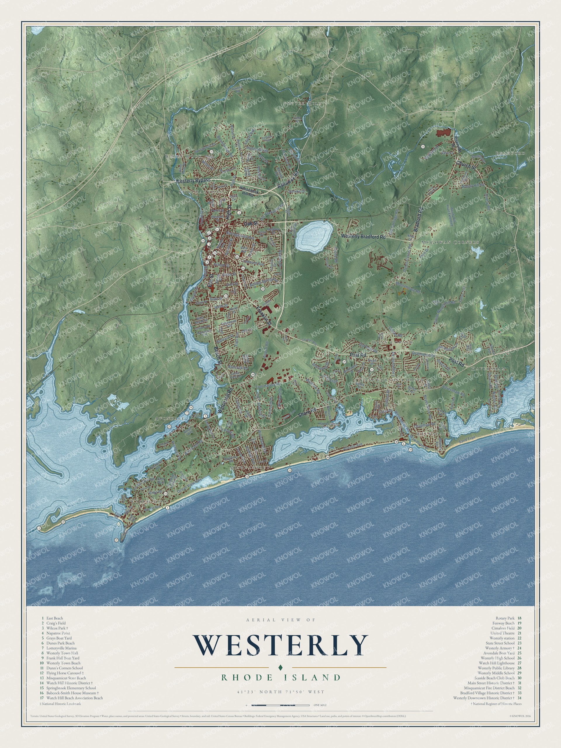
A new map of Westerly, Rhode Island, made in 2026 and printed to order on thick archival matte paper.
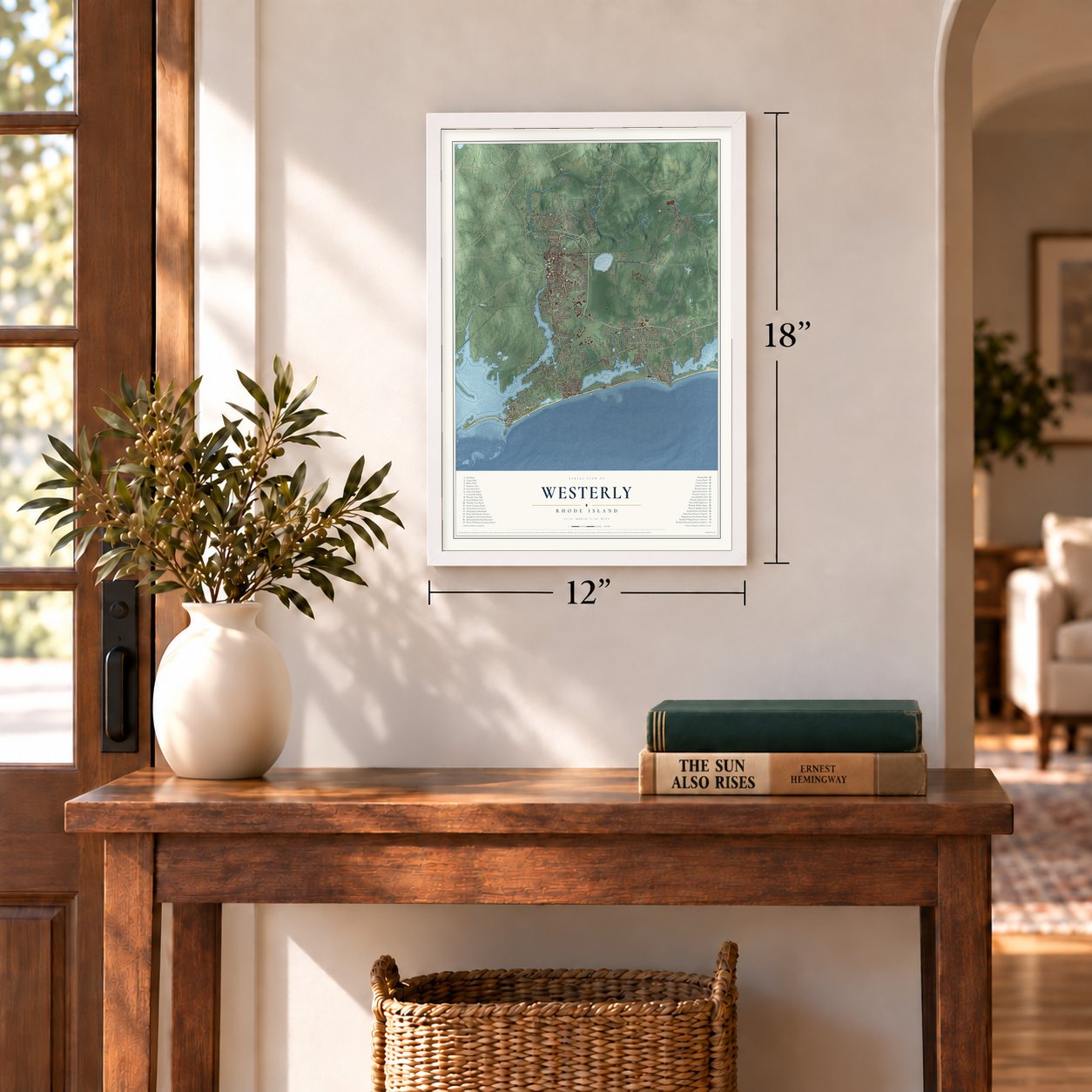
12" x 18" Archival Matte Print
A Map of Home. A Work of Art.
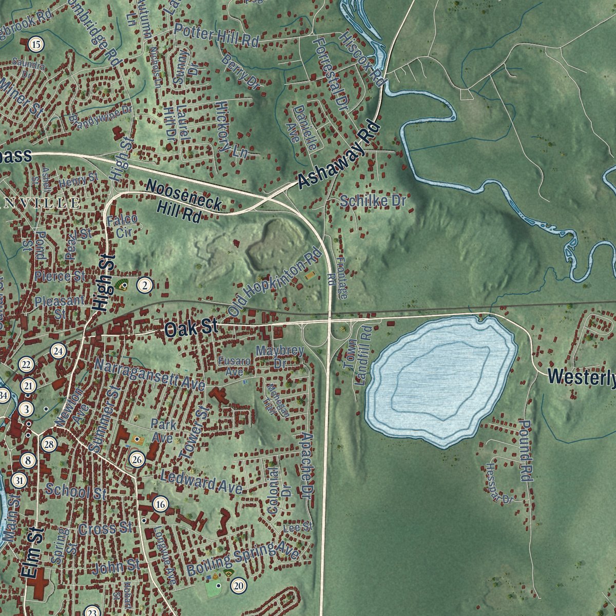
Explore Westerly, Rhode Island from a whole new perspective. Created using aerial imagery and detailed geographic data, this map captures Westerly building by building, with labeled streets, familiar landmarks, and shaded topographical relief that highlights the natural contours of the landscape.
Combining modern data with the timeless character of a vintage atlas, this map is just as interesting up close as it is beautiful on the wall. Whether you grew up in Westerly, spent memorable years there, or call it home today, this unique map is a great way to celebrate a place that means something to you. Zoom in on the preview to look for your street, and then order a print to put your memories on the wall.
Three ways to hang it
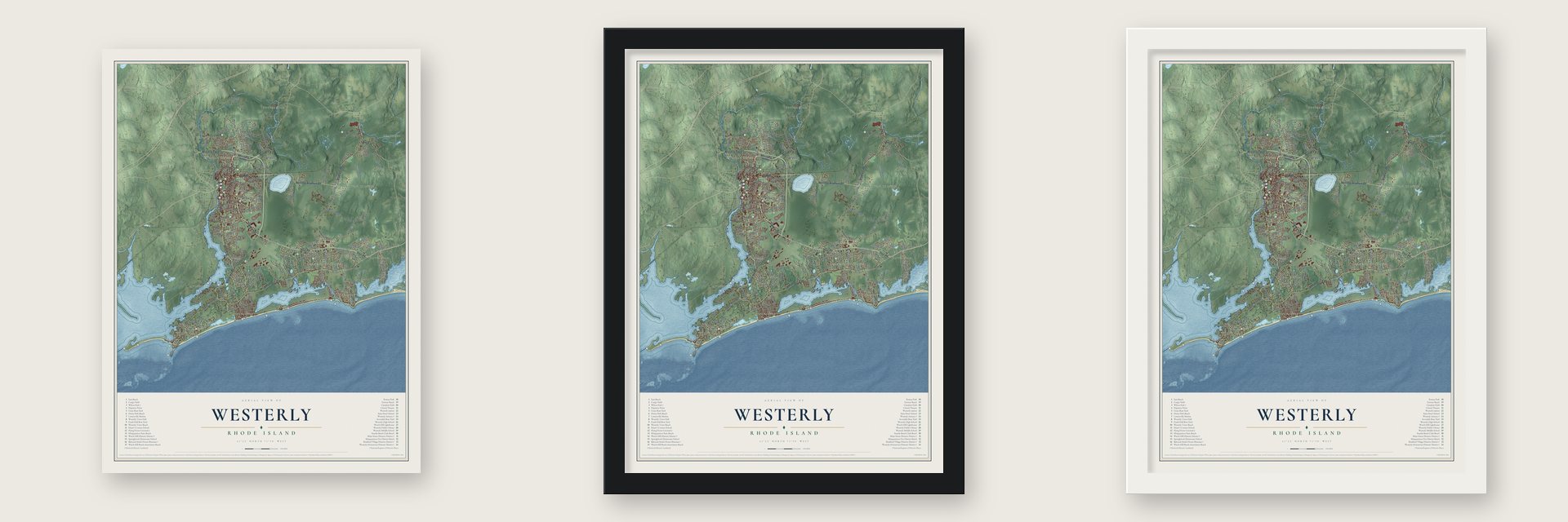
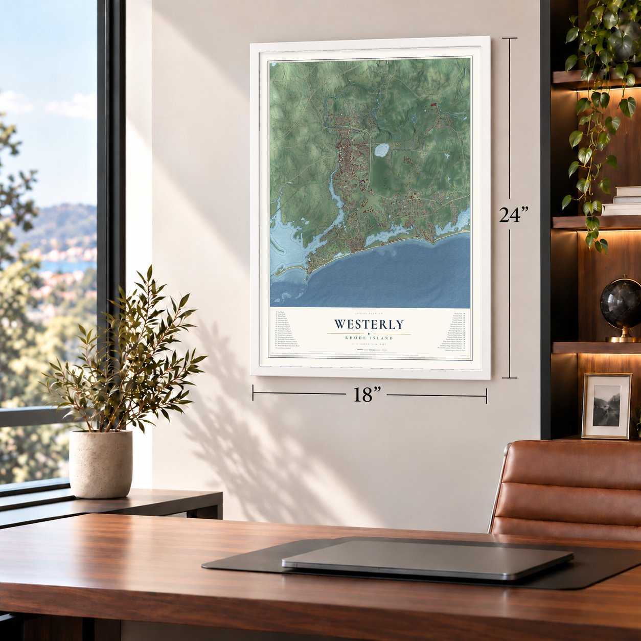
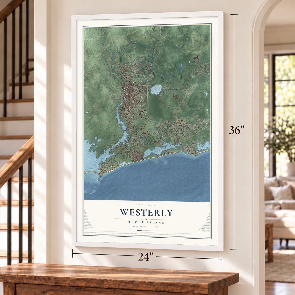
Unframed archival matte, a black wood frame or a white wood frame.
Up close
Geography Worth Displaying
This map was created using accurate cartographic data and authoritative geographic sources, including the U.S. Geological Survey (USGS) and FEMA. The map brings together terrain, waterways, roads, and building detail. The majority of the streets are labeled, houses are accurately depicted, and the topography is derived from government sources. Combining local data with carefully composed color and shading leads to this beautifully detailed Westerly artwork for your wall.
Rather than simply showing street outlines, we’ve included as many of the street names as we could reasonably fit on the map while keeping their names legible. Zoom in on the high resolution preview to see exactly what’s on the map. We truly set out to create a statement piece for anyone who loves Westerly. So whether it’s for you, or a gift for someone you love, we hope this map of Westerly brings back fond memories.
Explore the full map of Westerly, Rhode Island and read about the local places it shows.

About Westerly, Rhode Island
Westerly is a town of 23,359 people in Washington County, at the southwestern corner of Rhode Island, with the Pawcatuck River between it and Connecticut. The Narragansett people knew this land as Misquamicut, but the English built an outpost here in 1637 and had pushed the Narragansett out by 1661, the year Elder John Crandall came to settle. The town was founded on May 13, 1669, and held its first town meeting five days later, electing four officers and a town clerk. Its name most likely marks it as the colony's westernmost town.
Charlestown split away in 1738, and Hopkinton became a town of its own 19 years after that. Westerly's fortune then came from stone. The Crumb Quarry, the town's first, opened in 1834, and from 1870 into the 1950s its pink, blue and red granite was quarried and sent all along the East Coast. One of the biggest employers, the Smith Granite Company, supplied carved work for the Gettysburg battlefields and the Georgia State Capitol. Around 1900 many Italian families arrived to work the stone, most of them from Sicily and Calabria.
- Franklin's host, Smith's quarryDr. Joshua Babcock, a physician, Revolutionary general and state Supreme Court justice, lived in a house built around 1734. He wrote to Benjamin Franklin and hosted him there, and in the 1770s he was Westerly's first postmaster, keeping the post office and a general store there. Orlando Smith bought it in 1848, restored it and started a granite business on a stone ledge he found there. Now the Babcock-Smith House is a museum, on the National Register since 1972.
- A park left to the townHarriet Wilcox left Westerly 14 acres on High Street in 1898. Her husband, Stephen Wilcox, had invented a boiler that would not explode and, with Herman Babcock, another Westerly man, founded the firm of Babcock and Wilcox. Warren H. Manning, a former associate of Frederick Law Olmsted, laid out Wilcox Park, and since the 1960s it has become an arboretum with conifer, herb and perennial gardens behind walls of Westerly granite.
- A keeper's medal in 1873Colonists posted lookouts on Watch Hill in both the French and Indian War and the Revolution, and a watchtower with a beacon stood there from 1745. A law signed by Thomas Jefferson brought the first lighthouse in 1807, and the present 45-foot tower came in 1856. After the steamer Metis sank offshore, keeper Jared Starr Crandall's rescue work earned him a Congressional Gold Medal in 1873. His widow, Sally Ann Crandall, became the light's first woman keeper in 1879.
- Left behind by a carnivalThe Flying Horse Carousel, believed to date from around 1876, sits where Bay Street ends. A traveling carnival left it behind in Watch Hill in 1879. Its twenty horses hang from chains, so they swing out as the ride turns, which is how the carousel got its name.
- The hurricane of 1938The 1938 New England Hurricane drove a storm surge of 12 to 15 feet onto the Rhode Island coast. In Westerly it wiped out the village of Napatree Point, carrying buildings into Little Narragansett Bay, and cut Sandy Point off from the rest of Napatree, and the two are still separated today. Misquamicut was badly wrecked, and damage to the New Haven and Hartford Railroad stopped trains to town.
Find your street
Names on the Westerly map
Every name below is printed on this map. Look for your street, your school, the park where you played, or the pond down the road.
Places and landmarks11
- Downtown
- Watch Hill
- Bradford
- Potter Hill
- Weekapaug
- Avondale
- White Rock
- Misquamicut
- Stillmanville
- McGowan Corners
- Napatree Point
Streets and roads12
- Schilke Dr
- Oak St
- Bradford Rd
- Ledward Ave
- Pound Rd
- Post Rd
- Atlantic Ave
- Babcock Rd
- Harvey Rd
- Watch Hill Rd
- Nepun Rd
- Kimball Ave
Names are listed as they appear on the printed map. Zoom into the product photos to find them.
The art of mapping a place
How This Map Was Made
Real places. Remarkable detail. Discover the layers that turn geographic data into a map of home.

The view from above
Aerial imagery reveals the character of the land: woodland, open fields, and the patterns of a place.

The shape of the land
Elevation data brings hills, valleys, and subtle changes in the landscape into view.

The details of home
Roads, waterways, and building footprints come together to make the map feel unmistakably local.

Geography becomes art
Considered color, shading, and typography bring the layers together in a map made for your wall.


Process illustrated with Mendon, Massachusetts. Aerial imagery: USDA NAIP. Terrain: USGS 3D Elevation Program. Map details and finished artwork: KNOWOL.
The Details
About This Print
Choose an archival matte print, or a black or white Ayous wood frame. The archival matte print is unframed.
Select your size and finish above to see the matching product image and price.
Materials & Craftsmanship
A contemporary map with the character of a classic atlas, printed on archival matte paper. Optional frames are made from Ayous wood.
Your printed map does not include the watermark shown in the full-map preview.
Shipping & Delivery
Free shipping within the United States. Every print is made to order in the USA.
Buying a gift? Add a note in your cart and we'll include it. We never put prices in the package.
Prints ship within 2 to 3 business days. Allow 7 to 10 days total from ordering for delivery. Timing may vary during holidays or periods of high order volume.
Read our shipping policy.
Returns and damaged prints
Each print is made to order. Change-of-mind refunds are not available after production.
If your print arrives damaged, misprinted or incorrect, contact support@knowol.com within 30 days of receiving it. Include your order number, photos and a description of the issue.
Read our full refund and replacement policy. For questions about your order, email support@knowol.com.
Find your town
Looking for another city?
Find a map of home in our Rhode Island collection, or any town in the country.
Nearby
Maps of towns near Westerly
Know someone from one of these towns? Their map makes a great gift.
 Misquamicut
, Rhode Island
From $39.99See the map
 Weekapaug
, Rhode Island
From $39.99See the map
 Watch Hill
, Rhode Island
From $39.99See the map
More maps nearby: Bradford, Quonochontaug, Ashaway, Charlestown and Hopkinton.