
Search for another town




Free U.S. delivery 7 to 10 days after you order
Woodridge, Illinois Map Art
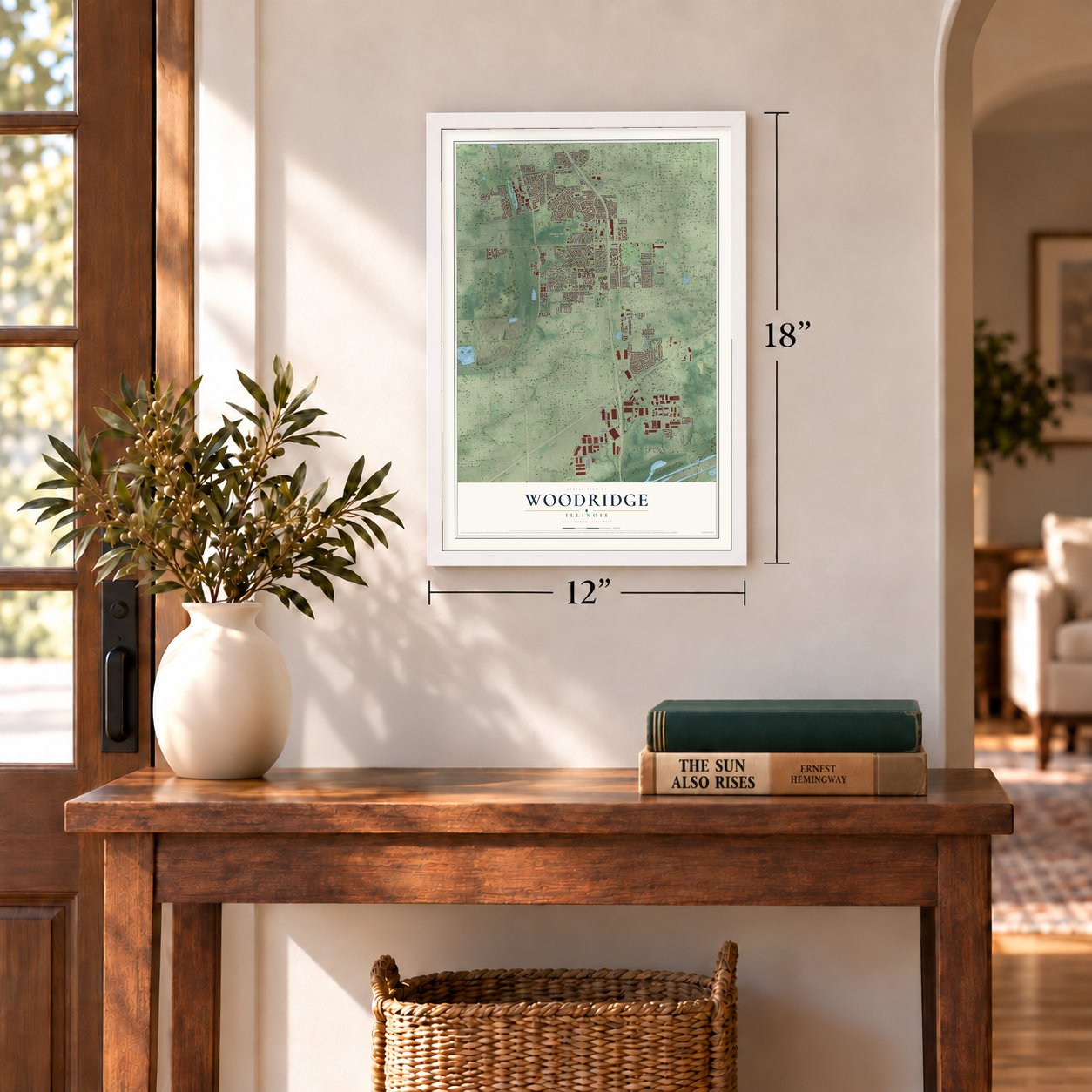
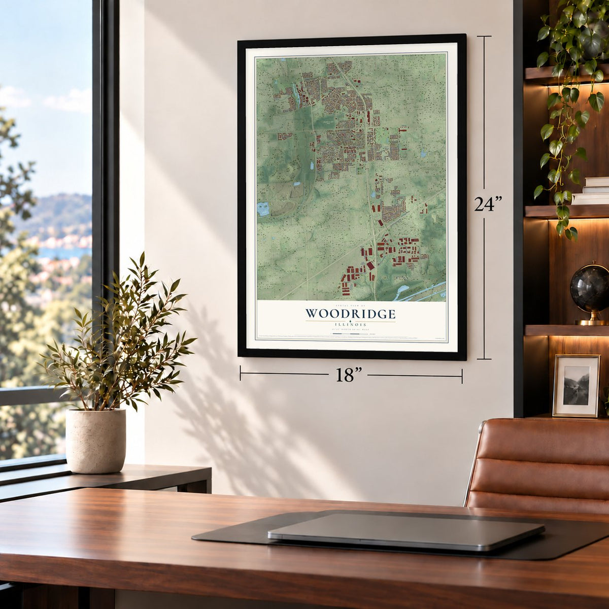
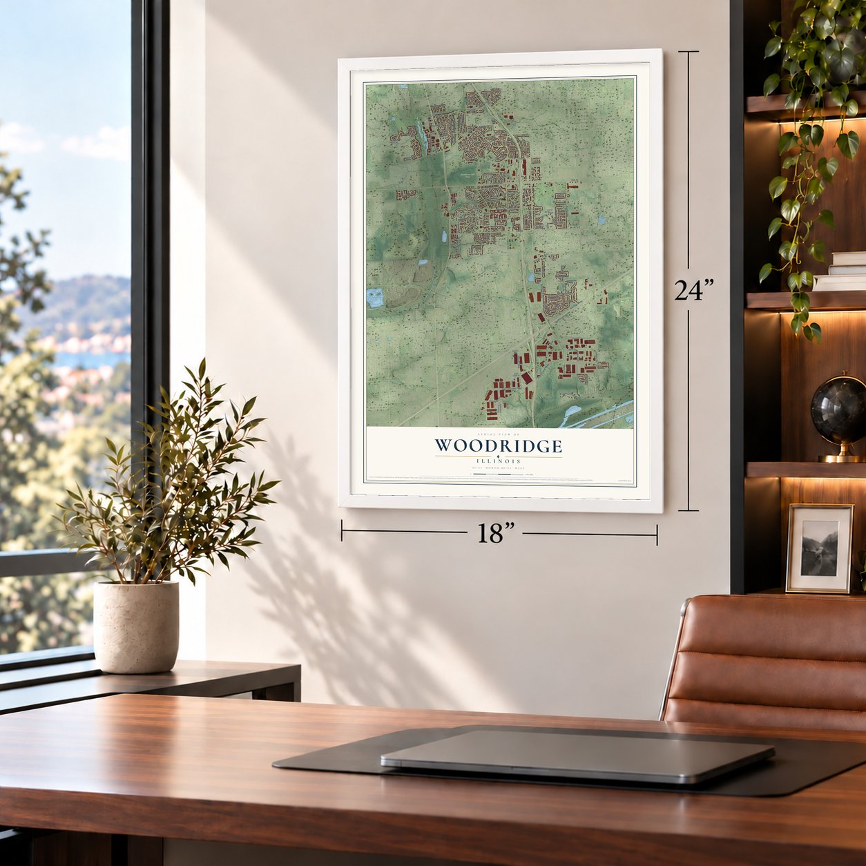
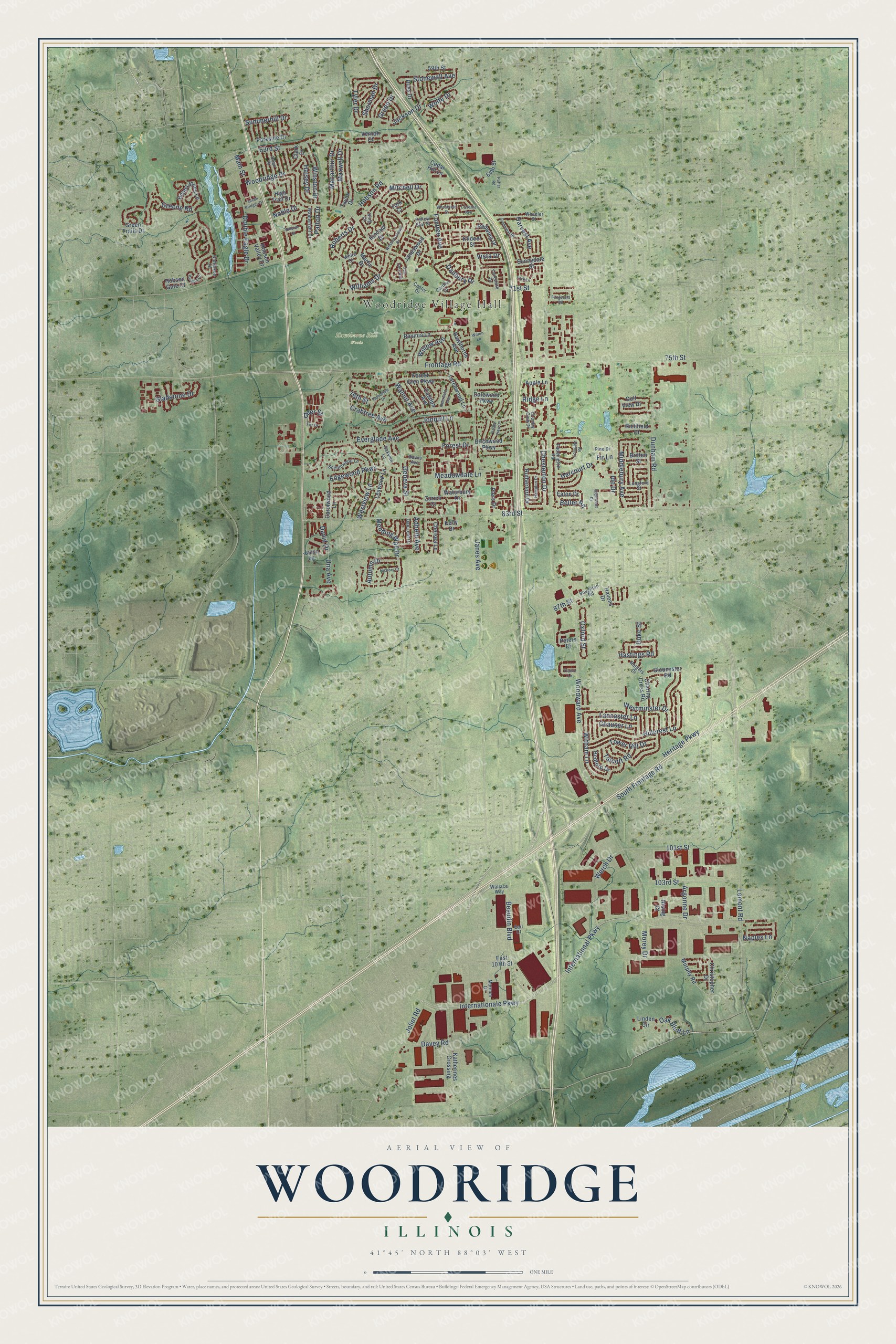
A new map of Woodridge, Illinois, made in 2026 and printed to order on thick archival matte paper.
12" x 18" Archival Matte Print
A Map of Home. A Work of Art.
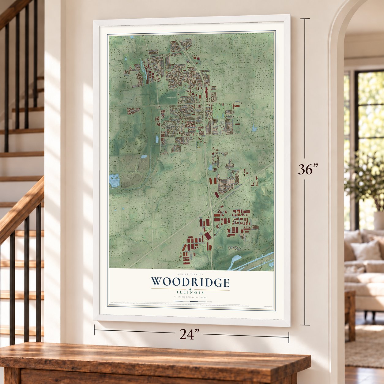
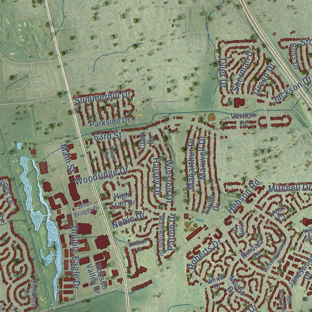
Explore Woodridge, Illinois from a whole new perspective. Created using aerial imagery and detailed geographic data, this map captures Woodridge building by building, with labeled streets, familiar landmarks, and shaded topographical relief that highlights the natural contours of the landscape.
Combining modern data with the timeless character of a vintage atlas, this map is just as interesting up close as it is beautiful on the wall. Whether you grew up in Woodridge, spent memorable years there, or call it home today, this unique map is a great way to celebrate a place that means something to you. Zoom in on the preview to look for your street, and then order a print to put your memories on the wall.
Three ways to hang it
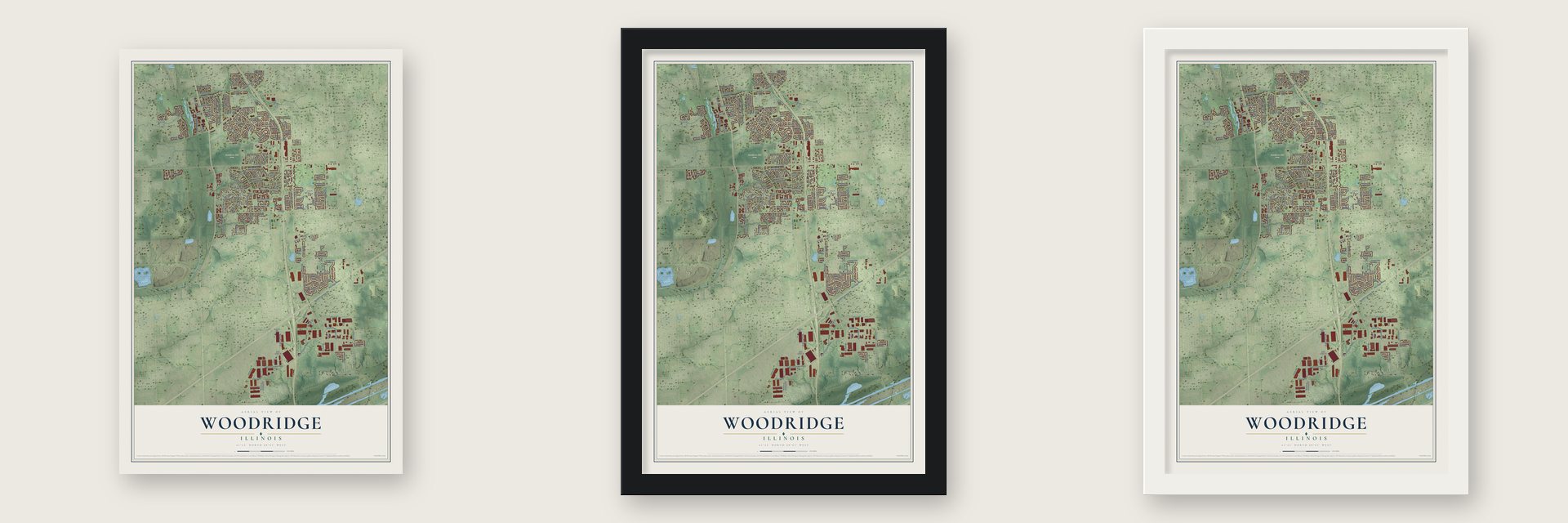
Unframed archival matte, a black wood frame or a white wood frame.
Up close
Geography Worth Displaying
This map was created using accurate cartographic data and authoritative geographic sources, including the U.S. Geological Survey and the Census Bureau. The map brings together terrain, waterways, roads, and building detail. The majority of the streets are labeled, houses are accurately depicted, and the topography is derived from government sources. Combining local data with carefully composed color and shading leads to this beautifully detailed Woodridge artwork for your wall.
Rather than simply showing street outlines, we’ve included as many of the street names as we could reasonably fit on the map while keeping their names legible. Zoom in on the high resolution preview to see exactly what’s on the map. We truly set out to create a statement piece for anyone who loves Woodridge. So whether it’s for you, or a gift for someone you love, we hope this map of Woodridge brings back fond memories.
Read the story behind this map of Woodridge, Illinois from 2026.

About Woodridge, Illinois
Woodridge is a village of 34,158 people in DuPage County, with small pieces reaching into Will and Cook counties. Housing developer Albert Kaufman did most of the work of creating it, and the village was incorporated on August 24, 1959, when fewer than 500 people lived there. Its name comes from its setting. The town sits in woods on high ground above a steep slope that locals call The Ridge, looking out over the East Branch of the DuPage River and the Des Plaines Valley.
Because the village is so young, most of its homes, businesses and churches went up after the 1950s. Three fire protection districts had already drawn their lines before Woodridge was incorporated, so the village never formed its own fire department. The Lisle-Woodridge, Darien-Woodridge and Lemont districts protect its residents instead.
- Over 8,000 public treesThe Arbor Day Foundation has named Woodridge a Tree City for 16 years running. A study done in 1996 counted more than 8,000 trees owned by the public.
- The tornado of 2021Just after 11 p.m. on June 20, 2021, an EF-3 tornado tore through Woodridge. It damaged 225 homes here and in nearby suburbs, hit the rectory of Saint Scholastica Church and knocked down the rectory's garage. Eight people went to hospitals, and nobody was killed.
- Pizza and beerWoodridge is home to the Home Run Inn pizzeria chain. The Pabst Brewing Company was also located here from 2006 to 2011.
- Early tobacco stingsWoodridge was among the first communities in the country to pass tough laws against underage tobacco use. Its police department was also among the first to run regular stings, hiring young teens to check whether stores would sell them tobacco and alcohol.
Find your street
Names on the Woodridge map
Every name below is printed on this map. Look for your street, your school, the park where you played, or the pond down the road.
Places and landmarks2
- Woodridge Village Hall
- Hawthorne Hill Woods
Streets and roads180
- Internationale Parkway
- 87th Street
- Witham Lane
- Tower Hill Drive
- 83rd Street
- 63rd Street
- Lemont Road
- Walnut Avenue
- Geneva Street
- Woodward Avenue
- 75th Street
- Woodridge Drive
- Janes Avenue
- Hobson Road
- Davey Road
- 71st Street
- Greene Road
- Crabtree Avenue
- Joliet Road
- Westview Lane
- South Frontage Road
- Dunham Road
- Heritage Parkway
- Everglade Avenue
- Jackson Drive
- Hillcrest Lane
- Double Eagle Drive
- Mitchell Drive
- Frontage Road
- Beaudin Boulevard
Show all 180 streets
- Jonquil Lane
- International Parkway
- 103rd Street
- Westminster Drive
- Foxtree Avenue
- Roberts Drive
- Meadowdale Lane
- David Drive
- Werch Drive
- Stonewall Avenue
- Lancaster Lane
- 101st Street
- Edgewood Parkway
- Mending Wall Drive
- Willow Avenue
- Gladstone Drive
- Harcourt Drive
- Middlebury Avenue
- Macarthur Drive
- Maxwell Drive
- Winston Drive
- Williams Drive
- Oak Bluff Lane
- Talcott Road
- Forest Drive
- Chesterton Drive
- Main Street
- Halsey Drive
- Harvest Avenue
- Autumn Drive
- Wolfe Drive
- Summerhill Drive
- Chauser Lane
- Ide Drive
- Oxford Street
- Sherman Drive
- Una Avenue
- Tyler Drive
- Hastings Road
- Argonne Drive
- Patton Drive
- Morey Drive
- Danbury Drive
- Deer Street
- Adbeth Avenue
- Naples Lane
- Vista Drive
- Beller Road
- Noble Drive
- Green Drive
- 76th Street
- Ridge Lane
- Duke Street
- Fir Lane
- Waterbury Drive
- Forest Glen Parkway
- Catalpa Avenue
- Janeswood Drive
- Dalewood Parkway
- Larchwood Lane
- Murphy Road
- Golf View Drive
- Taylor Drive
- Bobby Jones Lane
- Havens Drive
- Charing Cross Road
- Leawood Lane
- Martin Drive
- Ravinia Lane
- Green Trails Drive
- Katherines Crossing
- East 107th Street
- Carolwood Lane
- Hawthorne Avenue
- Kincaid Drive
- Gloucester Road
- Rutherford Drive
- Birchwood Parkway
- Redwing Drive
- Christopher Drive
- 59th Street
- Cedar Hill Lane
- Peters Drive
- Parkside Drive
- Ross Drive
- 64th Street
- Chelsea Lane
- Eaton Drive
- Piers Drive
- Bedford Drive
- Richfield Court
- Linden Circle
- Sunnydale Street
- Hobson Valley Drive
- Clark Drive
- Britten Street
- High Trail Drive
- Kildeer Street
- Apple Lane
- Vernon Court
- Kelly Drive
- Hobson Gate Court
- Zurich Court
- Joann Lane
- Rising Court
- York Court
- Center Drive
- Country Club Drive
- Paddington Road
- Boughton Road
- Yellow Star Street
- Wheeler Street
- Marmon Drive
- Scenicwood Lane
- Wainwright Drive
- Oakview Lane
- Rutgers Drive
- Didrikson Lane
- Carlton Drive
- Dean Drive
- Oak Leaf Drive
- Longford Street
- Yorkshire Drive
- Pine Drive
- Wallace Way
- Earl Court
- Davos Avenue
- White Drive
- King Court
- Westmoreland Drive
- Deerfield Avenue
- Greenleaf Street
- Woodview Drive
- Wheatfield Street
- Hickory Court
- Valley View Lane
- Hampton Drive
- Seven Bridges Drive
- Edgewood Drive
- Vardon Court
- Sun Drop Avenue
- Fox Drive
- Compton Road
- Fitzgerald Road
- Park Lane
- Lorraine Avenue
- Prairie Lane
- Puffer Road
- Hillside Court
- Wilton Lane
Names are listed as they appear on the printed map. Zoom into the product photos to find them.
The art of mapping a place
How This Map Was Made
Real places. Remarkable detail. Discover the layers that turn geographic data into a map of home.

The view from above
Aerial imagery reveals the character of the land: woodland, open fields, and the patterns of a place.

The shape of the land
Elevation data brings hills, valleys, and subtle changes in the landscape into view.

The details of home
Roads, waterways, and building footprints come together to make the map feel unmistakably local.

Geography becomes art
Considered color, shading, and typography bring the layers together in a map made for your wall.


Process illustrated with Mendon, Massachusetts. Aerial imagery: USDA NAIP. Terrain: USGS 3D Elevation Program. Map details and finished artwork: KNOWOL.
The Details
About This Print
Choose an archival matte print, or a black or white Ayous wood frame. The archival matte print is unframed.
Select your size and finish above to see the matching product image and price.
Materials & Craftsmanship
A contemporary map with the character of a classic atlas, printed on archival matte paper. Optional frames are made from Ayous wood.
Your printed map does not include the watermark shown in the full-map preview.
Shipping & Delivery
Free shipping within the United States. Every print is made to order in the USA.
Buying a gift? Add a note in your cart and we'll include it. We never put prices in the package.
Prints ship within 2 to 3 business days. Allow 7 to 10 days total from ordering for delivery. Timing may vary during holidays or periods of high order volume.
Read our shipping policy.
Returns and damaged prints
Each print is made to order. Change-of-mind refunds are not available after production.
If your print arrives damaged, misprinted or incorrect, contact support@knowol.com within 30 days of receiving it. Include your order number, photos and a description of the issue.
Read our full refund and replacement policy. For questions about your order, email support@knowol.com.
Find your town
Looking for another city?
Find a map of home in our Illinois collection, or any town in the country.
Nearby
Maps of towns near Woodridge
Know someone from one of these towns? Their map makes a great gift.
 Darien
, Illinois
From $39.99See the map
 Downers Grove
, Illinois
From $39.99See the map
 Lisle
Lisle, Illinois
From $39.99See the map
More maps nearby: Bolingbrook, Westmont, Willowbrook, Lemont and Naperville.