
Search for another town



Free U.S. delivery 7 to 10 days after you order
Citrus Heights, California Map Art
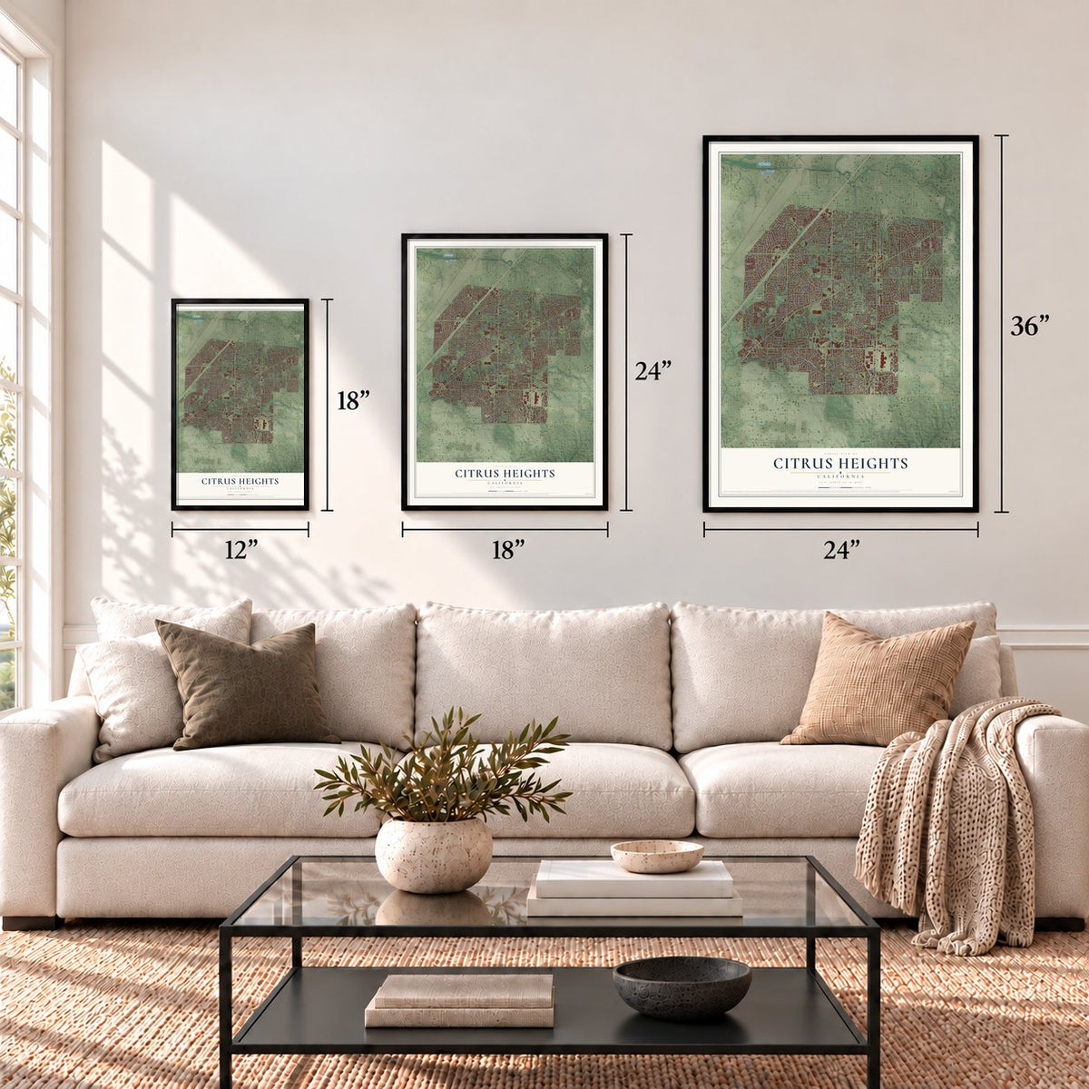
A new map of Citrus Heights, California, made in 2026 and printed to order on thick archival matte paper.
12" x 18" Archival Matte Print
A Map of Home. A Work of Art.
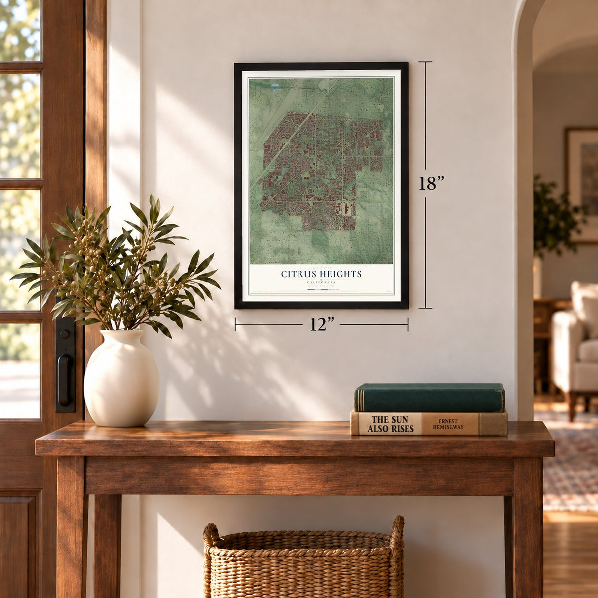
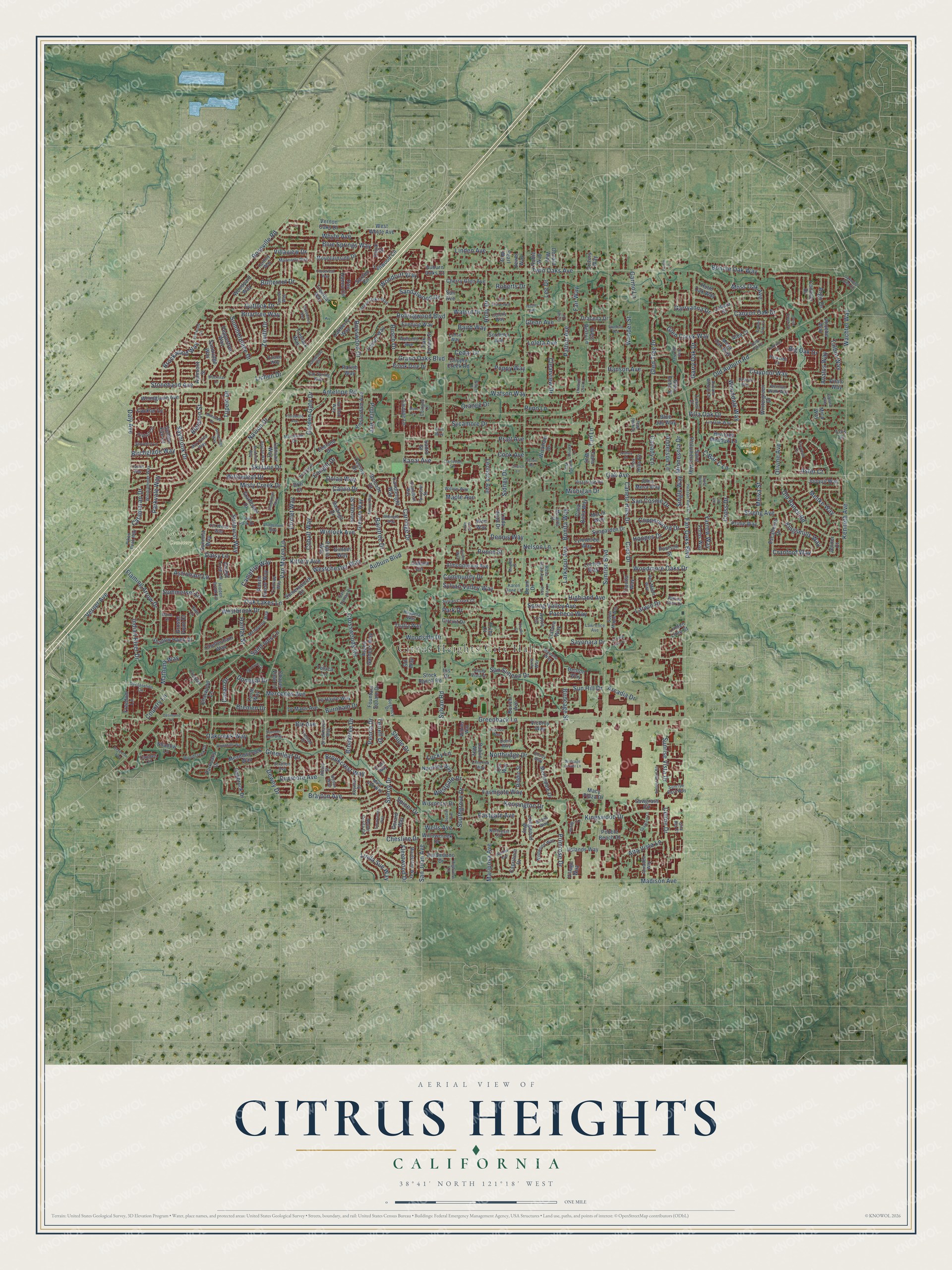
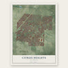
Explore Citrus Heights, California from a whole new perspective. Created using aerial imagery and detailed geographic data, this map captures Citrus Heights building by building, with labeled streets, familiar landmarks, and shaded topographical relief that highlights the natural contours of the landscape.
Combining modern data with the timeless character of a vintage atlas, this map is just as interesting up close as it is beautiful on the wall. Whether you grew up in Citrus Heights, spent memorable years there, or call it home today, this unique map is a great way to celebrate a place that means something to you. Zoom in on the preview to look for your street, and then order a print to put your memories on the wall.
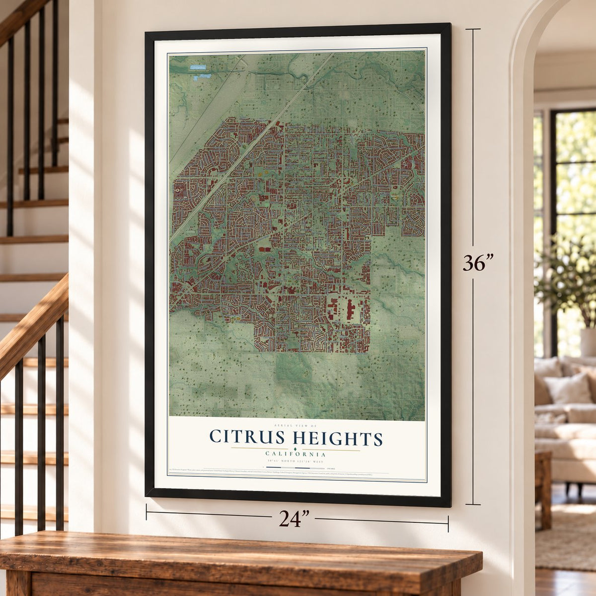
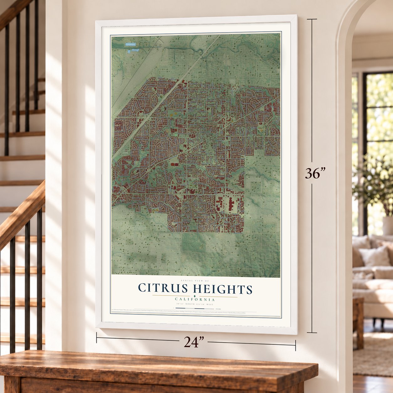
Three ways to hang it
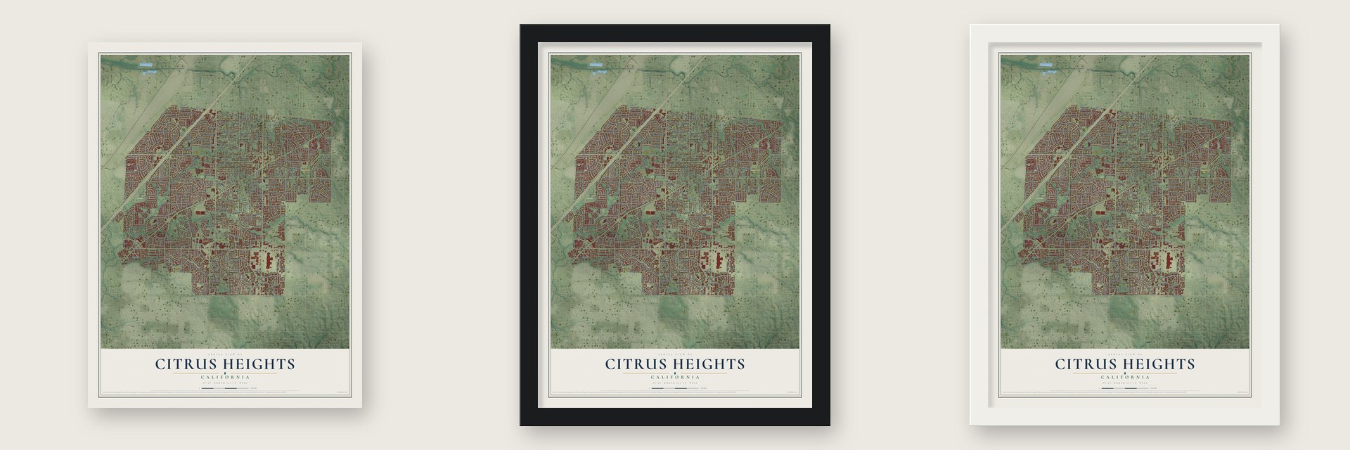
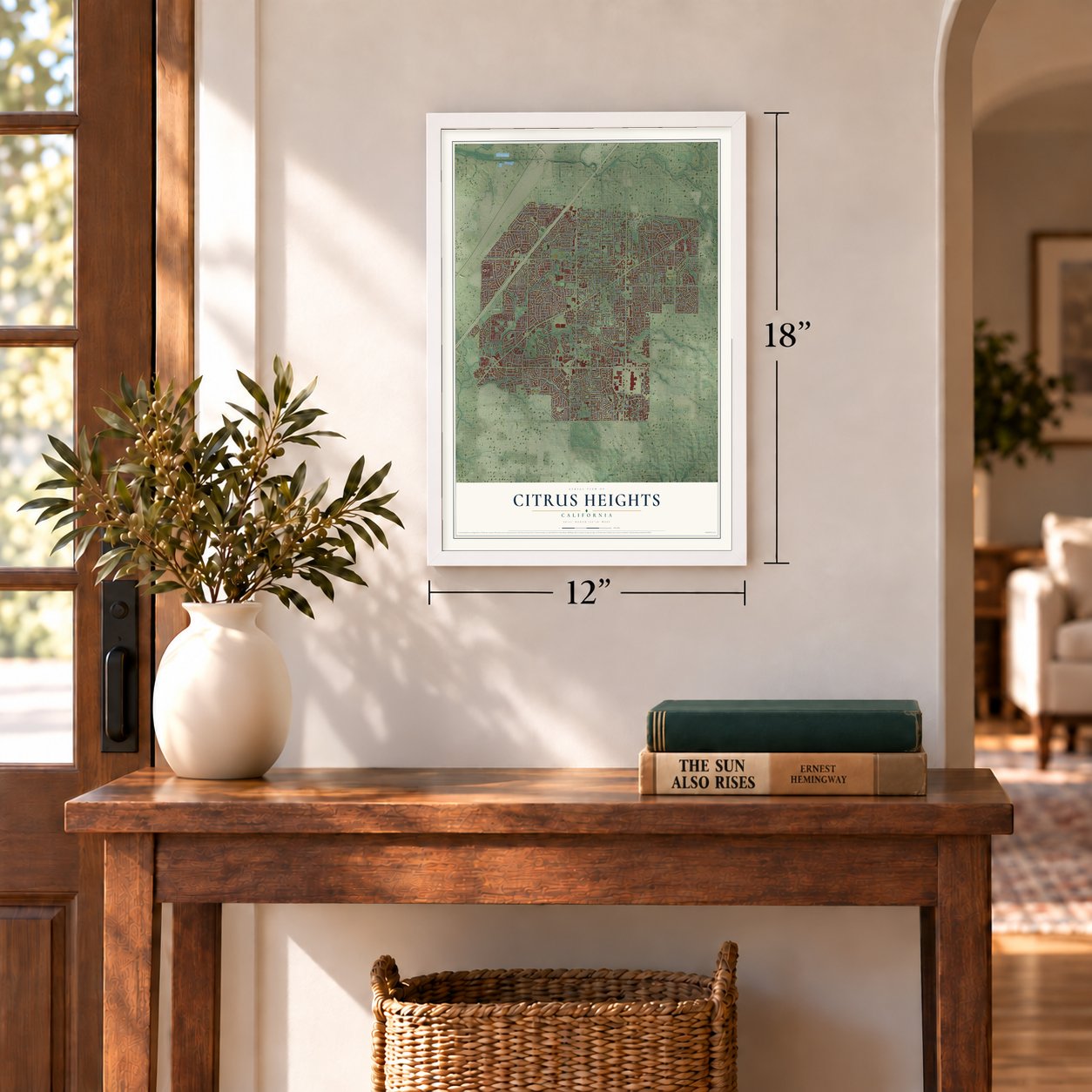
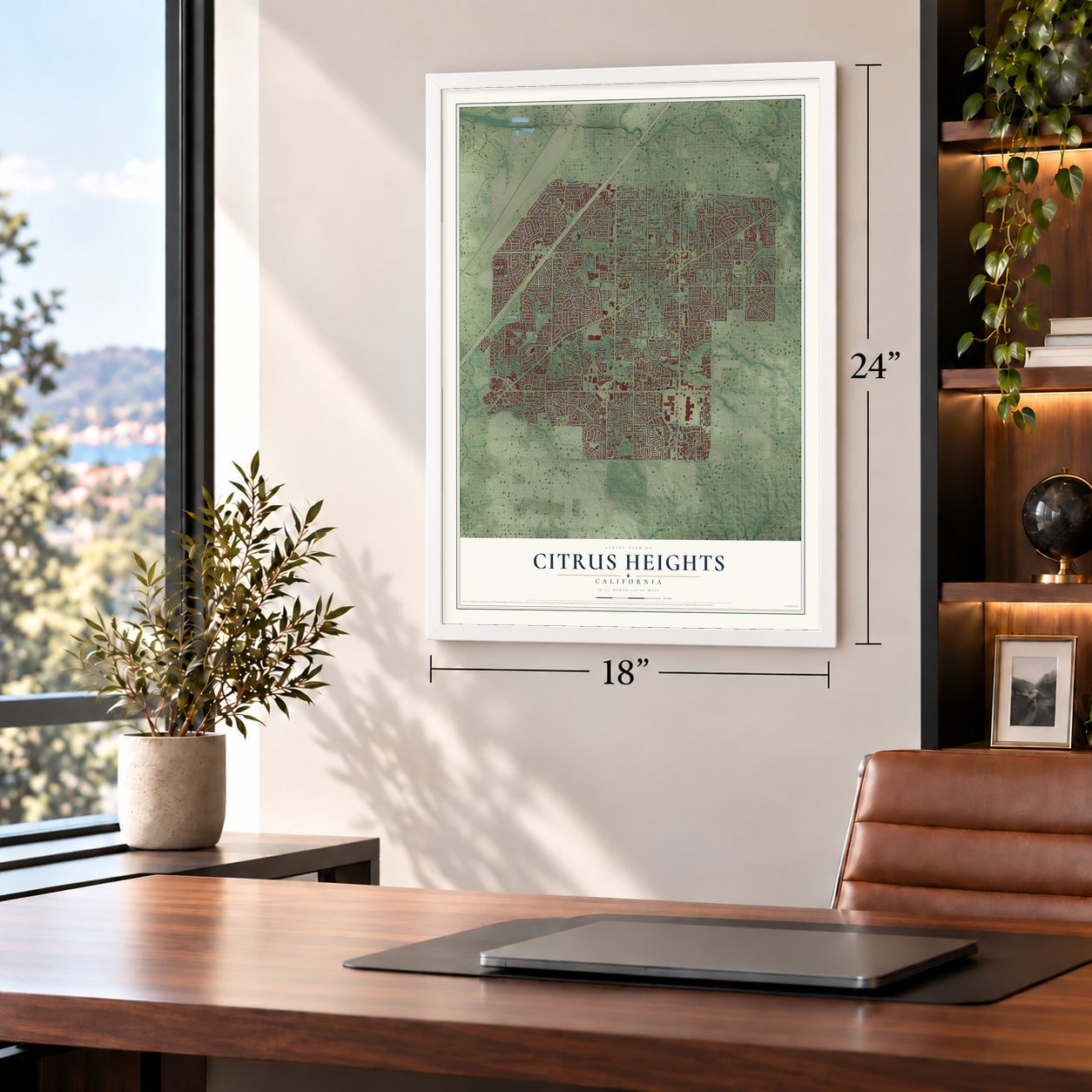
Unframed archival matte, a black wood frame or a white wood frame.
Up close
Geography Worth Displaying
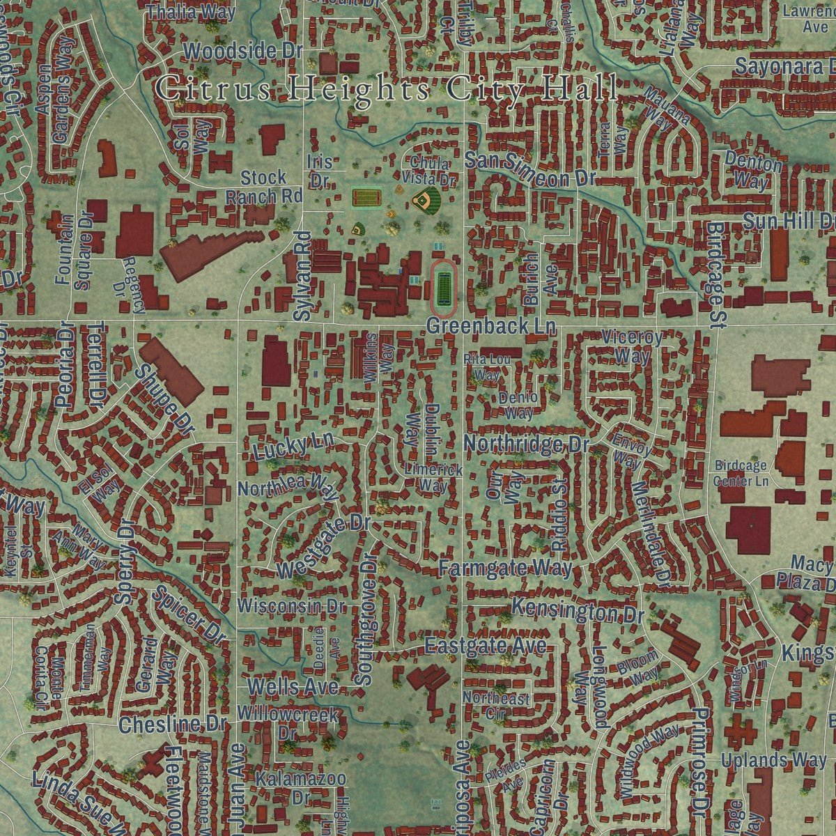
This map was created using accurate cartographic data and authoritative geographic sources, including the U.S. Geological Survey and the Census Bureau. The map brings together terrain, waterways, roads, and building detail. The majority of the streets are labeled, houses are accurately depicted, and the topography is derived from government sources. Combining local data with carefully composed color and shading leads to this beautifully detailed Citrus Heights artwork for your wall.
Rather than simply showing street outlines, we’ve included as many of the street names as we could reasonably fit on the map while keeping their names legible. Zoom in on the high resolution preview to see exactly what’s on the map. We truly set out to create a statement piece for anyone who loves Citrus Heights. So whether it’s for you, or a gift for someone you love, we hope this map of Citrus Heights brings back fond memories.
Read the story behind this map of Citrus Heights, California from 2026.
About Citrus Heights, California
Citrus Heights is a city of 87,583 people in Sacramento County. The area was once a quiet farming district called Sylvan. In 1910 the real estate firm Trainor & Desmond bought large pieces of unused land there and divided them into ten-acre lots. To draw buyers, the firm dropped the old name and chose Citrus Heights instead, and the new name has stayed ever since.
Travelers on the Transcontinental railroad and later the Lincoln Highway passed through the area, and today Interstate 80 runs along the west side of the city. Voters chose to make Citrus Heights a city on November 5, 1996, when the ballot measure passed with 62.5% of the votes. It became the fifth city in Sacramento County in January 1997.
- Its own police since 2006The Sacramento County Sheriff's Department policed Citrus Heights until 2006. That year the city started its own police department, hiring officers who came from 62 different agencies across California. The department runs its own communications center, which takes emergency calls and sends out officers, along with SWAT, traffic and school resource units.
- Sylvan CornersThe old Sylvan name lives on at Sylvan Corners, the geographical center of Citrus Heights. Two local breweries operate there today.
Find your street
Names on the Citrus Heights map
Every name below is printed on this map. Look for your street, your school, the park where you played, or the pond down the road.
Places and landmarks3
- Citrus Heights City Hall
- C-Bar-C Park
- Calvary Cemetery
Streets and roads453
- Whyte Avenue
- Bremen Drive
- Roseville Road
- Astronaut Lane
- Auburn Boulevard
- Mariposa Avenue
- Sunrise Boulevard
- Greenback Lane
- Antelope Road
- Old Auburn Road
- Fair Oaks Boulevard
- Twin Oaks Avenue
- Van Maren Lane
- Madison Avenue
- Oak Avenue
- Oak Lakes Lane
- Crosswoods Circle
- Lichen Drive
- San Juan Avenue
- Sylvan Road
- Wachtel Way
- Rollingwood Boulevard
- Birdcage Street
- Tupelo Drive
- Kingswood Drive
- Butternut Drive
- Farmgate Way
- Sycamore Drive
- Canyon Oak Drive
- Watson Way
Show all 453 streets
- Westbrook Drive
- Summerplace Drive
- Sperry Drive
- Verner Avenue
- Calvin Drive
- Zenith Drive
- Carriage Drive
- Navion Drive
- Villaview Drive
- Glen Tree Drive
- Patton Avenue
- Saybrook Drive
- Olivine Avenue
- Pratt Avenue
- Claypool Way
- Cobalt Way
- Garry Oak Drive
- Canelo Hills Drive
- Daisy Lane
- Oakcreek Way
- Primrose Drive
- Larwin Drive
- Wooddale Way
- Rusch Drive
- Highland Avenue
- Villa Oak Drive
- Big Oak Drive
- Indian River Drive
- Winlock Avenue
- Eastgate Avenue
- Streng Avenue
- Holly Drive
- Parkvale Way
- Mercedes Avenue
- Bonita Way
- Old Ranch Road
- Briartree Way
- Sayonara Drive
- Garden Gate Drive
- Grand Oaks Boulevard
- Daly Avenue
- Dewey Drive
- Flaming Arrow Drive
- Woodmore Oaks Drive
- Wonder Street
- Kenneth Avenue
- Cross Drive
- Cook Avenue
- Cranford Way
- Brooktree Drive
- Rosswood Drive
- Brookcrest Way
- Westgate Drive
- Outlook Drive
- Talbot Way
- Brayton Avenue
- Westchester Way
- Misty Creek Drive
- Cedar Drive
- Blue Springs Way
- Circlet Way
- Sunrise Vista Drive
- Walnut Drive
- Baird Way
- Spicer Drive
- Yarrow Way
- Kittery Avenue
- Garryanna Drive
- Sunburst Way
- San Cosme Drive
- Enright Drive
- Brockwood Way
- Menke Way
- Northridge Drive
- Kingsmills Way
- Woodside Drive
- Raintree Drive
- Pacheco Way
- Sylvan Valley Way
- Willowleaf Drive
- Copperwood Drive
- Chesline Drive
- Fair Way
- Community Drive
- Arcadia Drive
- Bonnie Oak Way
- Glen Creek Way
- Prince Street
- Linden Avenue
- Greenleaf Drive
- Spring Valley Avenue
- Stonehand Avenue
- Country Lane
- Leonard Avenue
- Sandalwood Drive
- Woodruff Way
- Kensington Drive
- Skylane Drive
- Park Drive
- Moss Oak Avenue
- San Simeon Drive
- Summerset Lane
- Birchglade Way
- Sun Hill Drive
- Campfire Way
- Larkspur Avenue
- Bix Avenue
- Reno Lane
- Melva Street
- Dolan Way
- Matheny Way
- Peoria Drive
- Burnham Drive
- Hanson Avenue
- Catamaran Drive
- Dunmore Avenue
- Donegal Drive
- Southgrove Drive
- Fleetwood Drive
- Shupe Drive
- Halifax Street
- Linda Sue Way
- Bierston Street
- Nelson Lane
- Saint Ives Lane
- Avalos Way
- Lee Drive
- Alta Vista Lane
- Loleta Avenue
- Glenn Avenue
- Kanai Avenue
- Poplar Avenue
- Crux Drive
- Lucky Lane
- Clearview Drive
- Michigan Drive
- Argo Drive
- Hoopes Drive
- Minnesota Drive
- Anderson Lane
- Canady Lane
- Poppy Way
- Wells Avenue
- Dennis Way
- Single Way
- Sidney Drive
- Cavan Drive
- C-Bar-C Lane
- Celine Drive
- Maple Avenue
- Roberts Drive
- Terrell Drive
- Orange Drive
- Garino Lane
- Aster Court
- Tad Lane
- West Berry Lane
- West Whyte Avenue
- Lauppe Lane
- Uplands Way
- Stock Ranch Road
- Merlindale Drive
- Heritage Meadow Lane
- Amsterdam Avenue
- Sungarden Drive
- Wintergreen Drive
- Conover Drive
- Grenola Way
- Oakberry Way
- Thalia Way
- Circuit Drive
- Mesa Oak Way
- Candlelight Way
- Parkoaks Drive
- Alma Mesa Way
- Lynnetree Way
- Poulson Street
- Locher Way
- Mountainside Drive
- Shadow Hawk Drive
- Meadowcreek Way
- Denton Way
- Trovita Way
- Viceroy Way
- Evening Way
- Saxton Circle
- Baranga Drive
- Phoebe Way
- Lobata Street
- Pau Hanna Circle
- Capricorn Drive
- Auburn Oaks Court
- Gallant Circle
- Chapel View Lane
- Saint Philomena Way
- Pippin Way
- Oak Forest Street
- Convair Way
- Lesser Way
- Escallonia Drive
- Almondwood Avenue
- Aspen Gardens Way
- Sunmist Way
- Jonquil Way
- Woodglade Avenue
- Wickham Drive
- Somersworth Drive
- Tallwood Circle
- Pebble Beach Drive
- Oakbrook Drive
- Cheltenham Way
- Cherry Glen Avenue
- Parish Way
- Holm Oak Way
- Le Havre Way
- Northlea Way
- Fountain Square Drive
- Sawgrass Circle
- Casa Bella Way
- Our Way
- Wisconsin Drive
- Longwood Way
- Shadow Lane
- Lialana Way
- Pearl Way
- Charwood Lane
- Burich Avenue
- Golden Eye Lane
- Peppertree Way
- Brook Dale Drive
- Woodyard Way
- Linda Vista Drive
- Kalamazoo Drive
- Prime Way
- Ranch House Way
- Cessna Drive
- Autumn Avenue
- Willowcreek Drive
- Le Mans Avenue
- Treelark Way
- Aptos Circle
- Dracena Drive
- Macy Plaza Drive
- Forbs Way
- Village Way
- Treeleaf Way
- Gerard Way
- Blue Jay Way
- Louth Way
- Glen Echo Street
- Wes Way
- Sandridge Way
- Fox Hills Drive
- Starflower Drive
- Cackler Lane
- Alba Court
- Dublin Way
- Riddio Street
- Freedom Lane
- Tiara Way
- Brocade Drive
- Gimbel Way
- Kersten Street
- Robie Way
- Vernon Oaks Drive
- Cripple Creek Road
- Grand Tree Lane
- Scribner Avenue
- Ashmont Street
- Pitalo Way
- Donald Way
- Zeeland Drive
- Toluca Lane
- Beam Drive
- Sadro Street
- Linden Lime Court
- Duval Street
- Jenner Court
- Grosse Point Court
- Mica Way
- Jewel Way
- Victory Way
- Sol Way
- McLin Way
- Trilby Court
- Lois Lane
- Iris Drive
- Brill Court
- Sun Avenue
- Sunrise East Way
- Albury Street
- Mauana Way
- Windjammer Way
- Trailride Way
- Live Oak Way
- Mannerly Way
- Sugar Maple Way
- Gumwood Circle
- Mar Vista Way
- Camden Circle
- Brookhaven Way
- Northeast Circle
- Declaration Circle
- Maidstone Way
- Pintail Circle
- Berman Walk Way
- Wildwood Way
- Rosa Vista Avenue
- Hidden Brook Lane
- Chula Vista Drive
- Tanoak Way
- Red Maple Way
- Melbourne Way
- San Tomas Drive
- Hespera Way
- Black Oaks Way
- Limerick Way
- Soquel Way
- Almaden Way
- Lin Oak Way
- Regency Drive
- Sylvan Creek Court
- Monte Corita Circle
- El Sol Way
- Vistaridge Road
- Woodcreek Drive
- Pikes Peak Way
- Tremain Drive
- Tin Wood Way
- Denio Way
- Mary Ann Way
- Oak Spring Way
- Marinvale Drive
- Yardley Way
- Willow Way
- Cologne Lane
- Terra Way
- Colony Way
- Highview Lane
- Bloom Way
- Stratton Avenue
- Keyntel Street
- Twin Park Drive
- Posten Way
- Auburn Woods Drive
- Grandball Way
- Ziebell Court
- Parkside Lane
- Envoy Way
- Fairytale Street
- Lawrence Avenue
- Lohse Way
- Maretha Street
- Karen Anne Lane
- Carleton Lane
- Wilkins Way
- Willow Glen Court
- Gita Ria Court
- Hosac Way
- Silver Drive
- Kate Lane
- Eich Way
- Fireweed Circle
- Oak Grove Avenue
- Glen Alta Way
- Cloverleaf Way
- Arcade Lake Lane
- Spyglass Lane
- Holly Oak Court
- Oakwood Hills Circle
- Creekmont Way
- Birdcage Center Lane
- Pleides Avenue
- Wexford Circle
- Scarlet Oak Circle
- Apache Way
- Woodhills Way
- Pleasant View Drive
- Windsor Lane
- Henning Drive
- Daffodil Way
- Shovelers Lane
- Basswood Way
- Minuet Way
- Stearman Way
- Sunrise Mall Road
- Timmerman Way
- Millwood Drive
- Midnight Way
- Stoneridge Way
- Rita Lou Way
- Florabelle Avenue
- Pollen Way
- Creekbed Lane
- Bridgemont Way
- Desimone Lane
- Devecchi Avenue
- Stanford Avenue
- Church Lane
- Blackstar Drive
- Ericwood Court
- Trawler Way
- Rosa Vista Lane
- Oakfront Lane
- Deedie Avenue
- Edwards Oak Court
- Orelle Creek Court
- Summer Rain Way
- Hill Drive
- Joshua Court
- Jessie Avenue
- Mitchell Court
- Loilinda Lane
- Galena Way
- Ecton Road
- Kadota Way
- Quiet Oak Lane
- Mame Court
- Challis Court
- Putcie Lane
- Cailin Circle
- Muth Lane
- Little Ol Court
Names are listed as they appear on the printed map. Zoom into the product photos to find them.
The art of mapping a place
How This Map Was Made
Real places. Remarkable detail. Discover the layers that turn geographic data into a map of home.

The view from above
Aerial imagery reveals the character of the land: woodland, open fields, and the patterns of a place.

The shape of the land
Elevation data brings hills, valleys, and subtle changes in the landscape into view.

The details of home
Roads, waterways, and building footprints come together to make the map feel unmistakably local.

Geography becomes art
Considered color, shading, and typography bring the layers together in a map made for your wall.


Process illustrated with Mendon, Massachusetts. Aerial imagery: USDA NAIP. Terrain: USGS 3D Elevation Program. Map details and finished artwork: KNOWOL.
The Details
About This Print
Choose an archival matte print, or a black or white Ayous wood frame. The archival matte print is unframed.
Select your size and finish above to see the matching product image and price.
Materials & Craftsmanship
A contemporary map with the character of a classic atlas, printed on archival matte paper. Optional frames are made from Ayous wood.
Your printed map does not include the watermark shown in the full-map preview.
Shipping & Delivery
Free shipping within the United States. Every print is made to order in the USA.
Buying a gift? Add a note in your cart and we'll include it. We never put prices in the package.
Prints ship within 2 to 3 business days. Allow 7 to 10 days total from ordering for delivery. Timing may vary during holidays or periods of high order volume.
Read our shipping policy.
Returns and damaged prints
Each print is made to order. Change-of-mind refunds are not available after production.
If your print arrives damaged, misprinted or incorrect, contact support@knowol.com within 30 days of receiving it. Include your order number, photos and a description of the issue.
Read our full refund and replacement policy. For questions about your order, email support@knowol.com.
Find your town
Looking for another city?
Find a map of home in our California collection, or any town in the country.
Nearby
Maps of towns near Citrus Heights
Know someone from one of these towns? Their map makes a great gift.
 Foothill Farms
, California
From $39.99See the map
 Orangevale
, California
From $39.99See the map
 Fair Oaks
, California
From $39.99See the map
More maps nearby: Antelope, North Highlands, Carmichael, Gold River and Roseville.