
Search for another town
Free U.S. delivery 7 to 10 days after you order
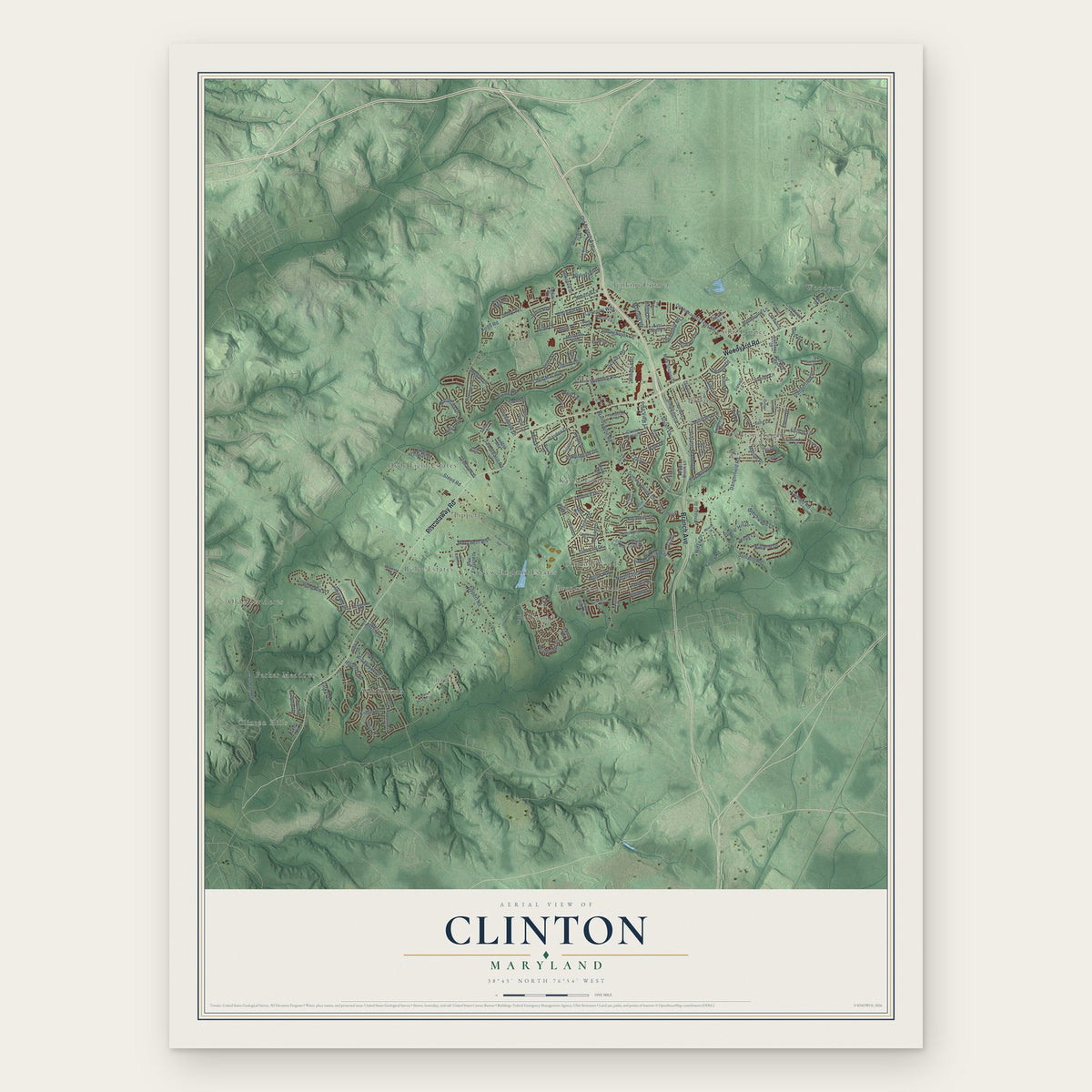
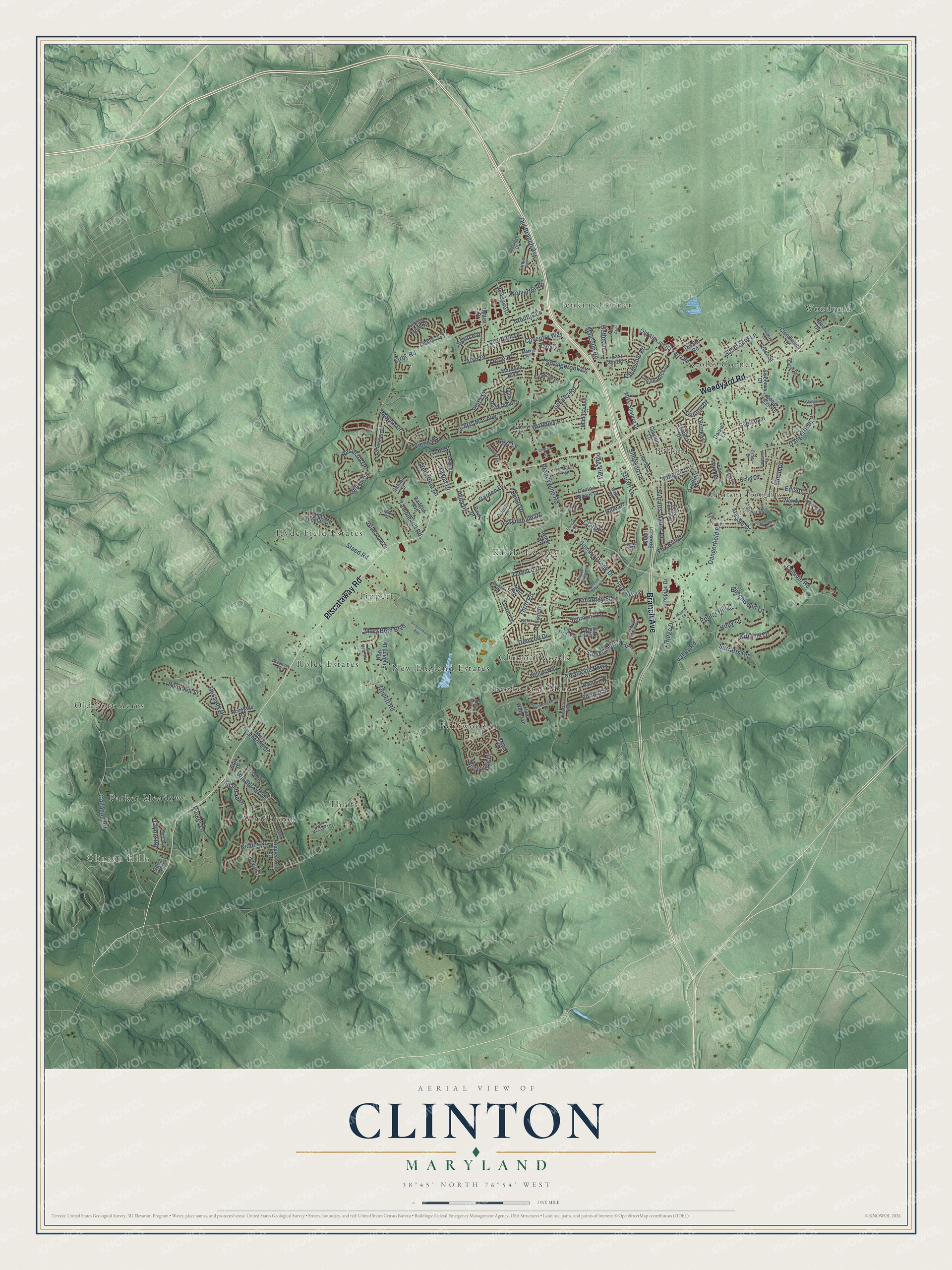
Clinton, Maryland Map Art
Building by building, with labeled streets and shaded relief.
12" x 18" Archival Matte Print
A Map of Home. A Work of Art.
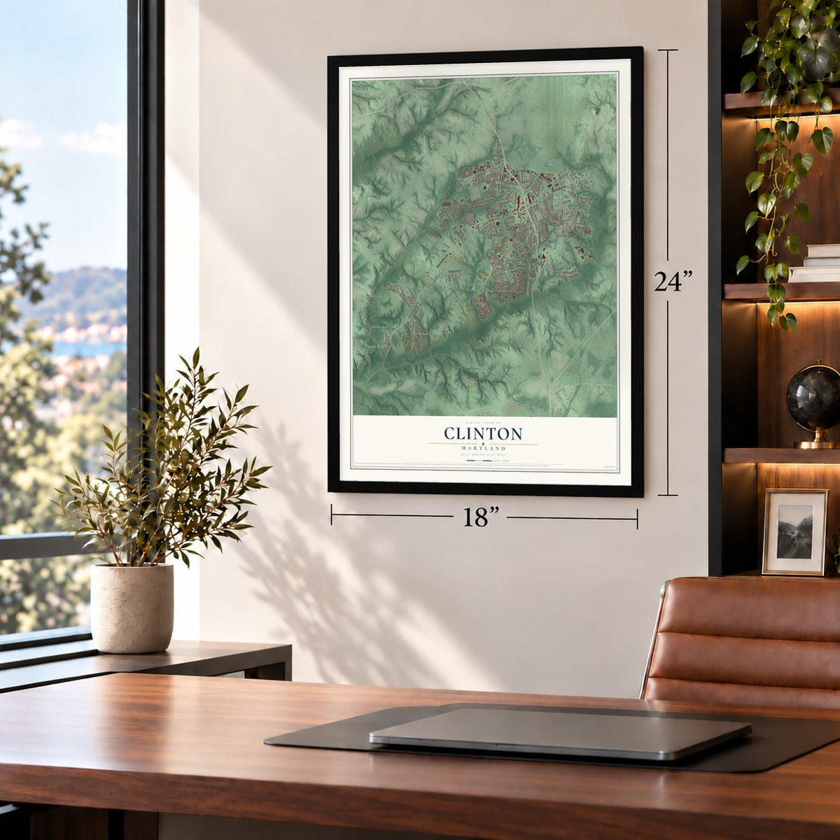
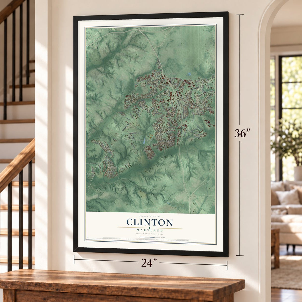
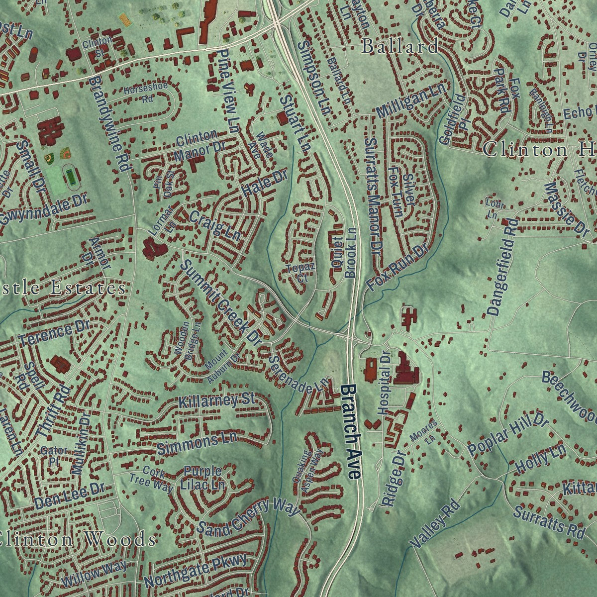
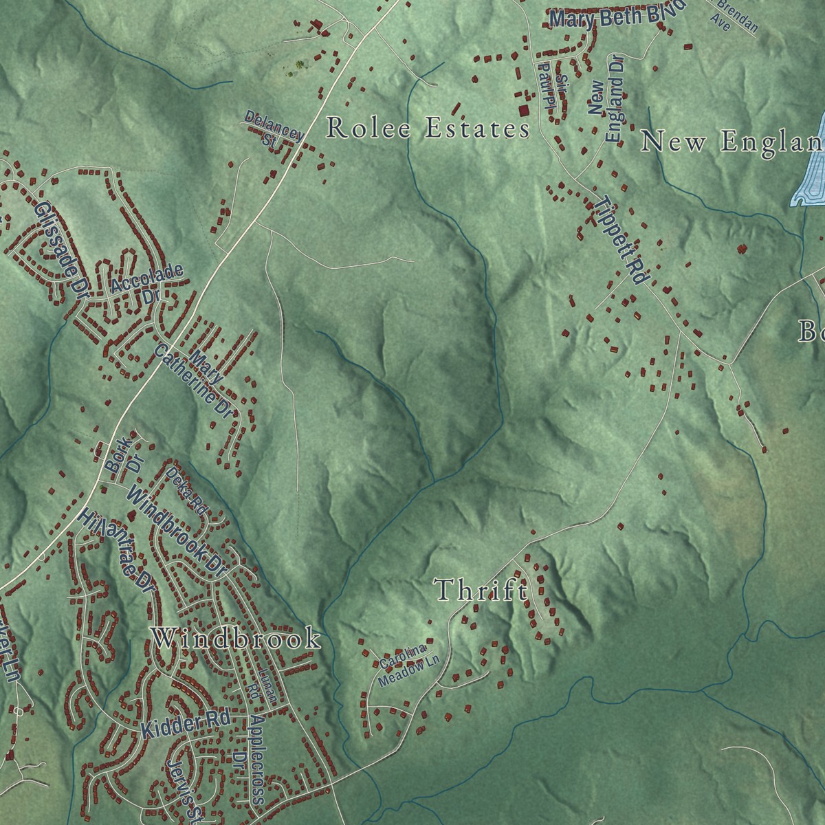
Explore Clinton, Maryland from a whole new perspective. Created using aerial imagery and detailed geographic data, this map captures Clinton building by building, with labeled streets, familiar landmarks, and shaded topographical relief that highlights the natural contours of the landscape.
Combining modern data with the timeless character of a vintage atlas, this map is just as interesting up close as it is beautiful on the wall. Whether you grew up in Clinton, spent memorable years there, or call it home today, this unique map is a great way to celebrate a place that means something to you. Zoom in on the preview to look for your street, and then order a print to put your memories on the wall.
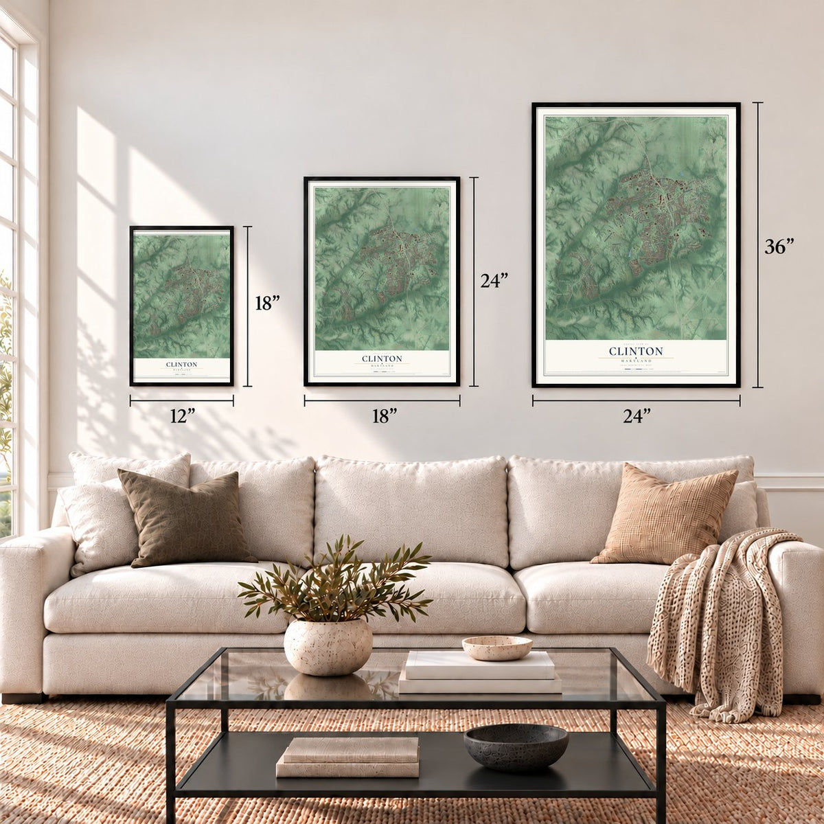
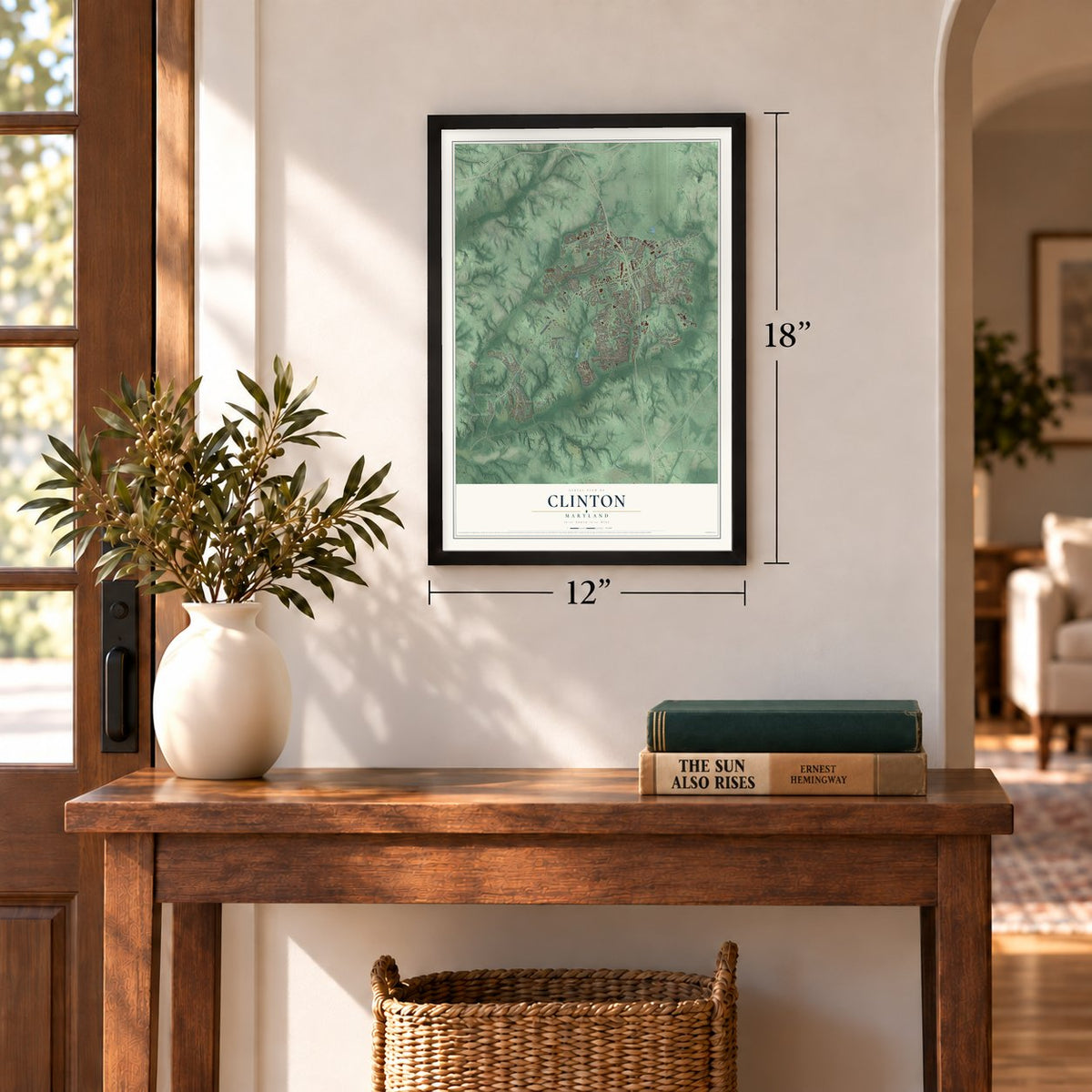
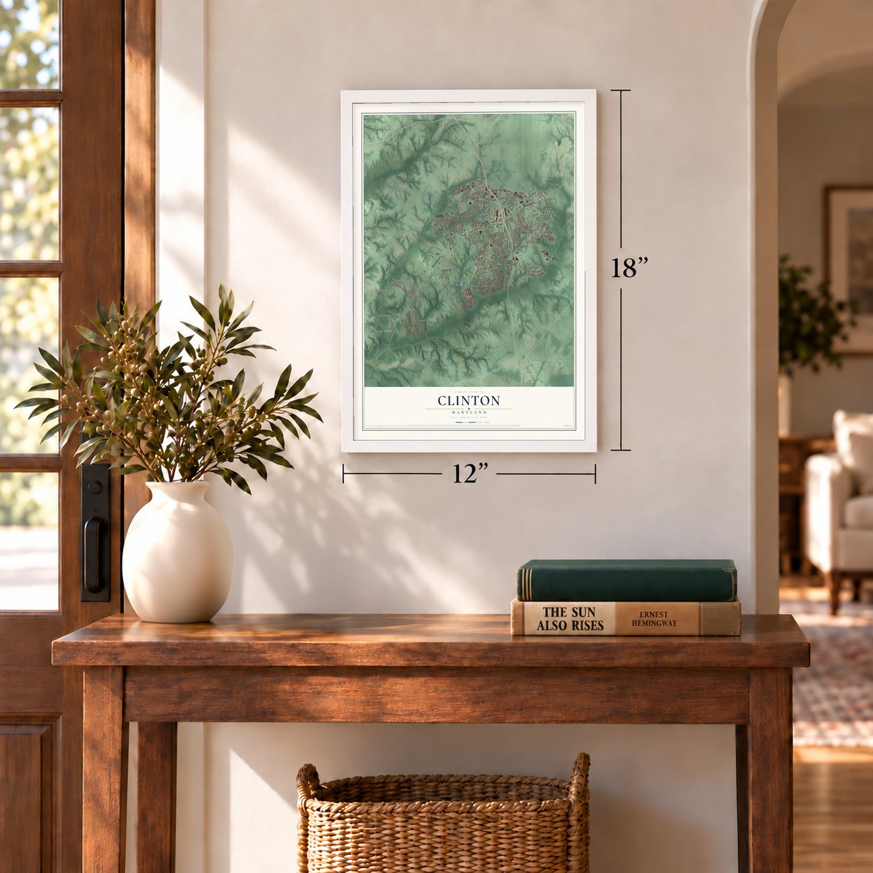
Three ways to hang it
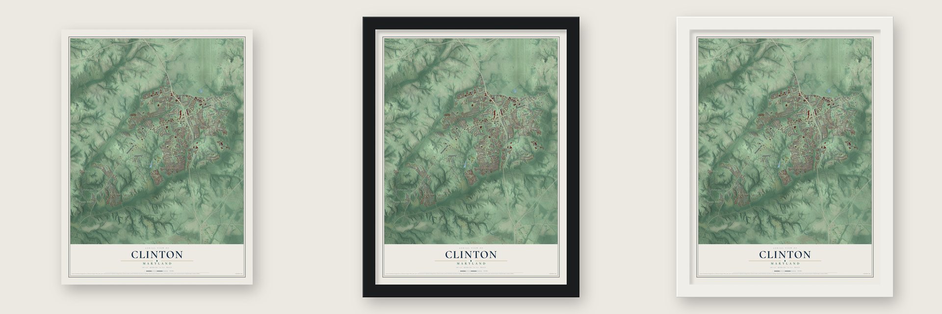
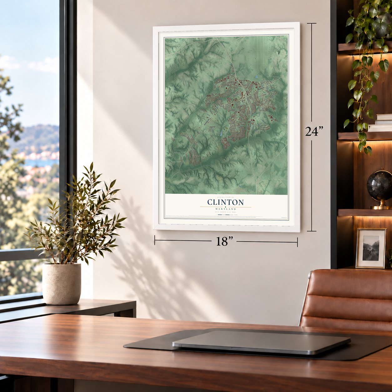
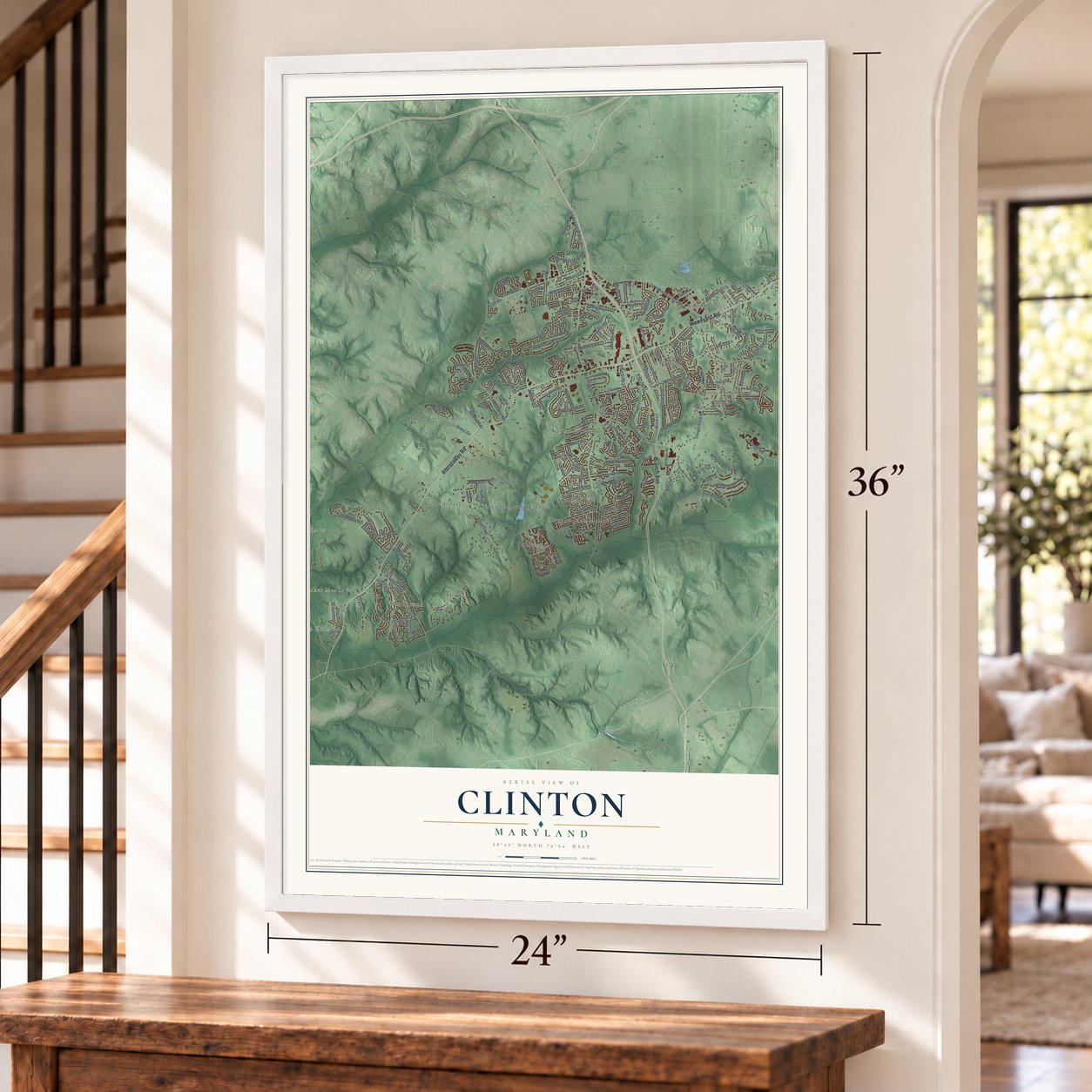
Unframed archival matte, a black wood frame or a white wood frame.
Up close
Geography Worth Displaying
This map was created using accurate cartographic data and authoritative geographic sources, including the U.S. Geological Survey and the Census Bureau. The map brings together terrain, waterways, roads, and building detail. The majority of the streets are labeled, houses are accurately depicted, and the topography is derived from government sources. Combining local data with carefully composed color and shading leads to this beautifully detailed Clinton artwork for your wall.
Rather than simply showing street outlines, we’ve included as many of the street names as we could reasonably fit on the map while keeping their names legible. Zoom in on the high resolution preview to see exactly what’s on the map. We truly set out to create a statement piece for anyone who loves Clinton. So whether it’s for you, or a gift for someone you love, we hope this map of Clinton brings back fond memories.
Read the story behind this map of Clinton, Maryland from 2026.
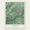
Find your street
Names on the Clinton map
Every name below is printed on this map. Look for your street, your school, the park where you played, or the pond down the road.
Places and landmarks18
- Clinton Hills
- Woodyard
- Kastle Estates
- Rolee Estates
- Jenkins Corner
- Clinton Heights
- Brooke Jane Manor
- Thrift
- Old Fort Acres
- Tippett
- Coles Corner
- Boniwood
Show all 18 places
- Hyde Field Estates
- Windbrook
- Ballard
- New England Estates
- Parker Meadows
- Clinton Woods
Streets and roads177
- Piscataway Road
- Branch Avenue
- Woodyard Road
- Thrift Road
- Surratts Road
- Brandywine Road
- Old Branch Avenue
- Dangerfield Road
- Temple Hill Road
- Gallahan Road
- Tippett Road
- Plata Street
- Kirby Road
- Commo Road
- Summit Creek Drive
- Dangerfield Place
- Stuart Lane
- Windbrook Drive
- Kidder Road
- Sand Cherry Way
- Gwynndale Drive
- Pumpkin Street
- Fox Run Drive
- Kittama Drive
- Poplar Hill Drive
- Steed Road
- Schultz Road
- Natahala Drive
- Chris Mar Avenue
- Killarney Street
Show all 177 streets
- Hillantrae Drive
- Beechwood Lane
- Surratts Manor Drive
- Alan Drive
- Simmons Lane
- Valley Road
- Glissade Drive
- Bellefonte Lane
- Pine View Lane
- Small Drive
- Coventry Way
- Garden Drive
- Friendship Road
- Birchview Drive
- Milligan Lane
- Springbrook Lane
- Woodley Road
- Arbroath Drive
- Eldon Drive
- Northgate Parkway
- Hale Drive
- Terence Drive
- Simpson Lane
- Megan Drive
- Den Lee Drive
- Tellico Place
- Edison Lane
- Dixon Drive
- Fulford Street
- Mary Beth Boulevard
- Glynis Road
- Wolverton Lane
- Greenfield Lane
- Vienna Drive
- Arbutus Lane
- Evelyn Lane
- Malcolm Road
- Heflin Drive
- Bost Lane
- Denton Drive
- Holly Lane
- Craig Lane
- Pella Place
- Massie Drive
- Spruce Drive
- Ridge Drive
- Lottie Place
- Parker Lane
- Trent Street
- Danford Drive
- Old Alexandria Ferry Road
- Mary Catherine Drive
- Mike Shapiro Drive
- Castle Rock Drive
- Applecross Drive
- Goldfield Place
- New England Drive
- Hunt Weber Drive
- Armor Drive
- Tinkers Creek Place
- Canberra Drive
- Quiet Brook Lane
- Purple Lilac Lane
- Clinton Manor Drive
- Salima Street
- Fox Park Road
- Jervis Street
- Cedar Chase Drive
- Spell Road
- Butterfield Drive
- Ethan Thomas Drive
- Willow Way
- Wendy Street
- East Clinton Street
- Shannan Drive
- Serenade Lane
- Zephyr Avenue
- Sweeney Drive
- Mullikin Drive
- Berkshire Drive
- Mimosa Avenue
- Glen View Drive
- Mardella Boulevard
- Hospital Drive
- Badger Avenue
- Accolade Drive
- Silver Fox Turn
- Clendinnen Drive
- Daniel Lane
- Delano Road
- Clayton Lane
- Brazke Court
- Aaron Lane
- Green Street
- Laren Lane
- Echo Lane
- Sylvia Drive
- Joan Place
- Ogden Drive
- Bork Drive
- Gerry Road
- Paul Drive
- Don Drive
- Ballard Lane
- Keystone Avenue
- Deka Road
- Juliette Drive
- Fletcher Avenue
- Wade Avenue
- Anna Drive
- Tarquin Avenue
- Lormar Lane
- Coolridge Drive
- Barnwood Drive
- Cork Tree Way
- Marcia Place
- Hunter Drive
- Delancey Street
- Gator Place
- Bradley Lane
- Sir Paul Place
- Manor Road
- Topaz Court
- Ferry Avenue
- Oriley Drive
- Helmsley Drive
- Hardesty Drive
- Horseshoe Road
- Wooden Bridge Lane
- Summersweet Drive
- Mount Auburn Drive
- Townsend Lane
- Carolina Meadow Lane
- Lunan Road
- Allerton Terrace
- Quaking Aspen Way
- Darlene Drive
- Sir Brendan Avenue
- Moores Lane
- Clinton Street
- Banleigh Lane
- Pin Oak Street
- Lohr Lane
- Gladeside Drive
- Westover Lane
- Cosca Park Place
- Maui Street
Names are listed as they appear on the printed map. Zoom into the product photos to find them.
About Clinton, Maryland
Clinton is a community of 38,760 people in Prince George's County. It began in the 1770s as a crossroads with a few buildings, and John H. Surratt bought a farm of 287 acres here in 1852. His house held a tavern, an inn, a polling place and the post office, so the district came to be called Surrattsville after its postmaster.
Mary Surratt, by then a widow, owned the house in 1865. On April 14 and 15 of that year, John Wilkes Booth stopped at the tavern for weapons and supplies after shooting President Abraham Lincoln. The government charged that Mary had brought those supplies there and worked with the plotters, among them her son John. She was found guilty and hanged in Washington on July 7, 1865.
- Robeystown, then ClintonThe Surratt name had become notorious, so the Post Office renamed the town Robeystown in 1865, keeping the custom of naming towns for the postmaster. The name changed again, officially, to Clinton on October 18, 1878. Surrattsville High School still keeps the old name.
- The Surratt House MuseumThe house where Booth stopped is now the Surratt House Museum, which tells the story of the Lincoln assassination. It is listed on the National Register.
- A family store since 1913Blossie Keubeth Miller opened a general store where the town's main roads meet in 1913. The building there today dates from the 1950s and holds a liquor store, and the Miller family still owns it.
- A KGB defector held hereFrom April 4, 1964, to August 13, 1965, the KGB defector Yuri Nosenko was kept at a Clinton safehouse while he was questioned.
Keep exploring Maryland
Clinton is one of 881 Maryland towns we've mapped. Every dot on the map is a print of its own.
The search covers every state, Maryland first.
Near Clinton
Order 2 or more town maps and save 10%. Shown in the size and finish you picked above, so they hang as a set.
- Friendly 12" x 18" / Archival Matte Print $39.99
- Camp Springs 12" x 18" / Archival Matte Print $39.99
- Rosaryville 12" x 18" / Archival Matte Print $39.99

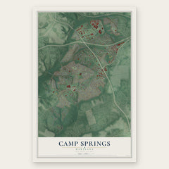

More maps nearby: Andrews AFB, Oxon Hill, Melwood, Temple Hills and Brandywine.
The art of mapping a place
How This Map Was Made
Real places. Remarkable detail. Discover the layers that turn geographic data into a map of home.

The view from above
Aerial imagery reveals the character of the land: woodland, open fields, and the patterns of a place.

The shape of the land
Elevation data brings hills, valleys, and subtle changes in the landscape into view.

The details of home
Roads, waterways, and building footprints come together to make the map feel unmistakably local.

Geography becomes art
Considered color, shading, and typography bring the layers together in a map made for your wall.


Process illustrated with Mendon, Massachusetts. Aerial imagery: USDA NAIP. Terrain: USGS 3D Elevation Program. Map details and finished artwork: KNOWOL.
The Details
About This Print
Choose an archival matte print, or a black or white Ayous wood frame. The archival matte print is unframed.
Select your size and finish above to see the matching product image and price.
Materials & Craftsmanship
A contemporary map with the character of a classic atlas, printed on archival matte paper. Optional frames are made from Ayous wood.
Your printed map does not include the watermark shown in the full-map preview.
Shipping & Delivery
Free shipping within the United States. Every print is made to order in the USA.
Buying a gift? Add a note in your cart and we'll include it. We never put prices in the package.
Prints ship within 2 to 3 business days. Allow 7 to 10 days total from ordering for delivery. Timing may vary during holidays or periods of high order volume.
Read our shipping policy.
Returns and damaged prints
Each print is made to order. Change-of-mind refunds are not available after production.
If your print arrives damaged, misprinted or incorrect, contact support@knowol.com within 30 days of receiving it. Include your order number, photos and a description of the issue.
Read our full refund and replacement policy. For questions about your order, email support@knowol.com.