


Search for another town





Free U.S. delivery 7 to 10 days after you order
Cromwell, Connecticut Map Art
Building by building, with labeled streets and shaded relief.
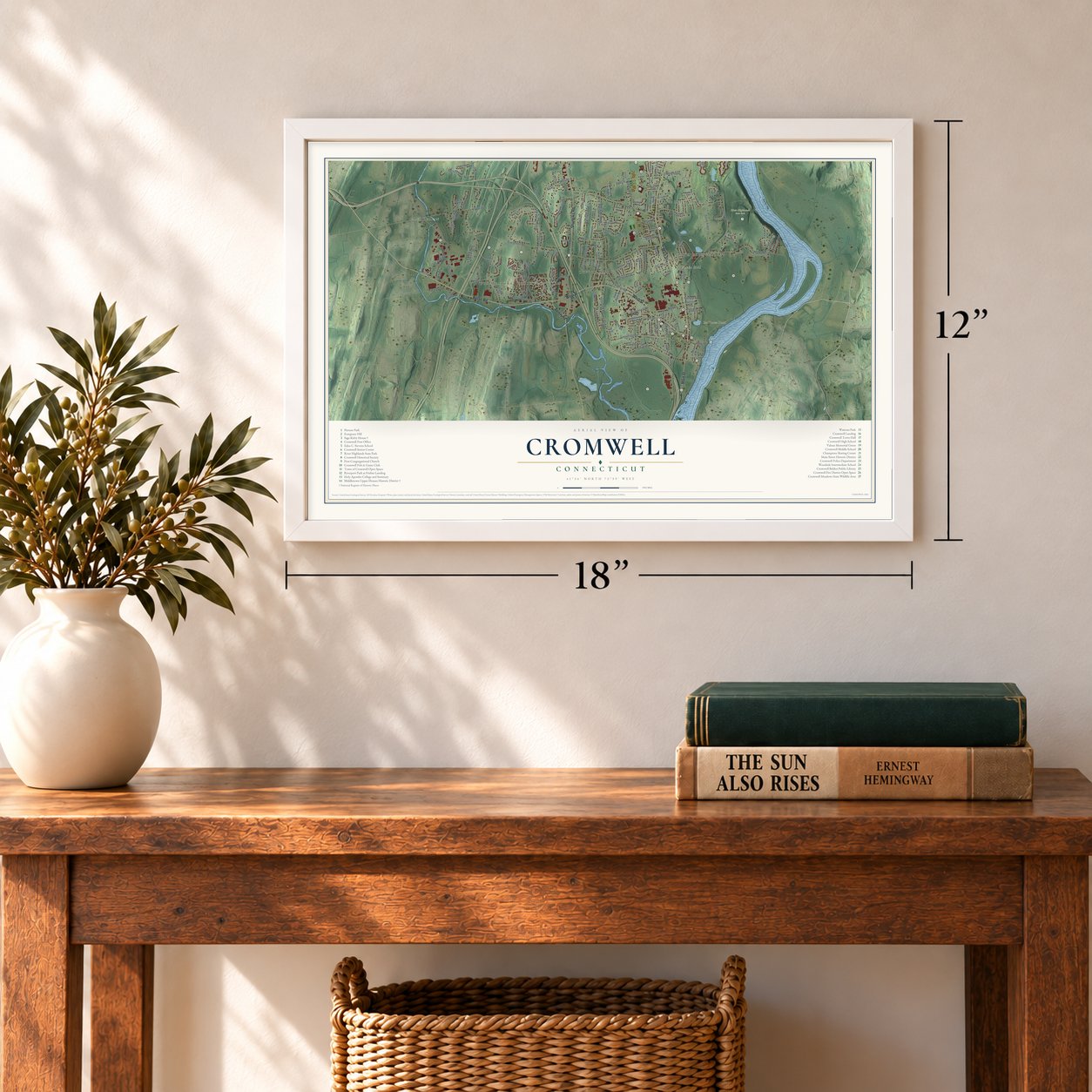
12" x 18" Archival Matte Print
A Map of Home. A Work of Art.
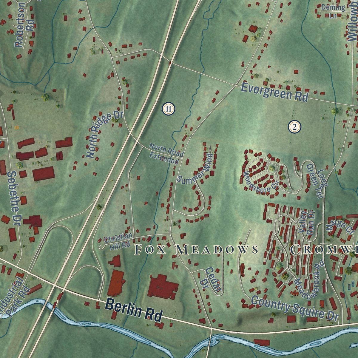
Explore Cromwell, Connecticut from a whole new perspective. Created using aerial imagery and detailed geographic data, this map captures Cromwell building by building, with labeled streets, familiar landmarks, and shaded topographical relief that highlights the natural contours of the landscape.
Combining modern data with the timeless character of a vintage atlas, this map is just as interesting up close as it is beautiful on the wall. Whether you grew up in Cromwell, spent memorable years there, or call it home today, this unique map is a great way to celebrate a place that means something to you. Zoom in on the preview to look for your street, and then order a print to put your memories on the wall.

Three ways to hang it
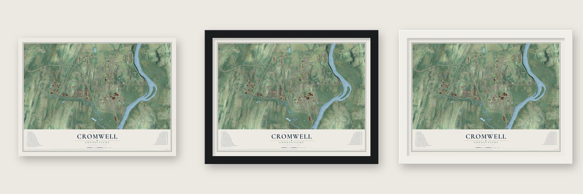
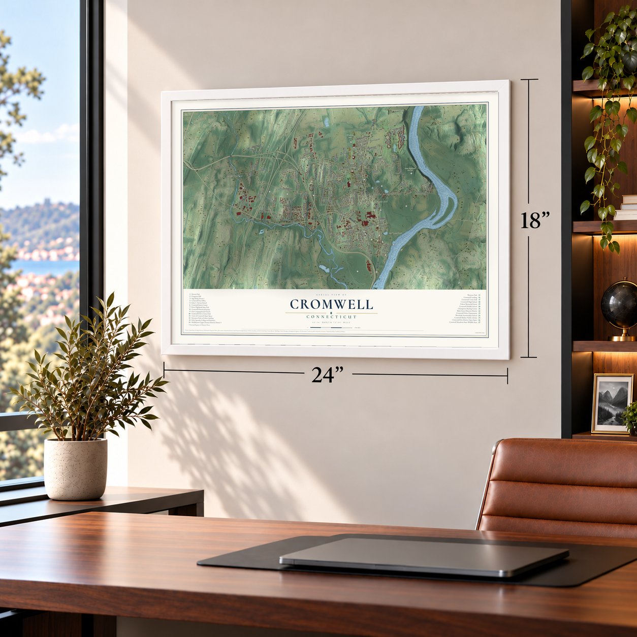
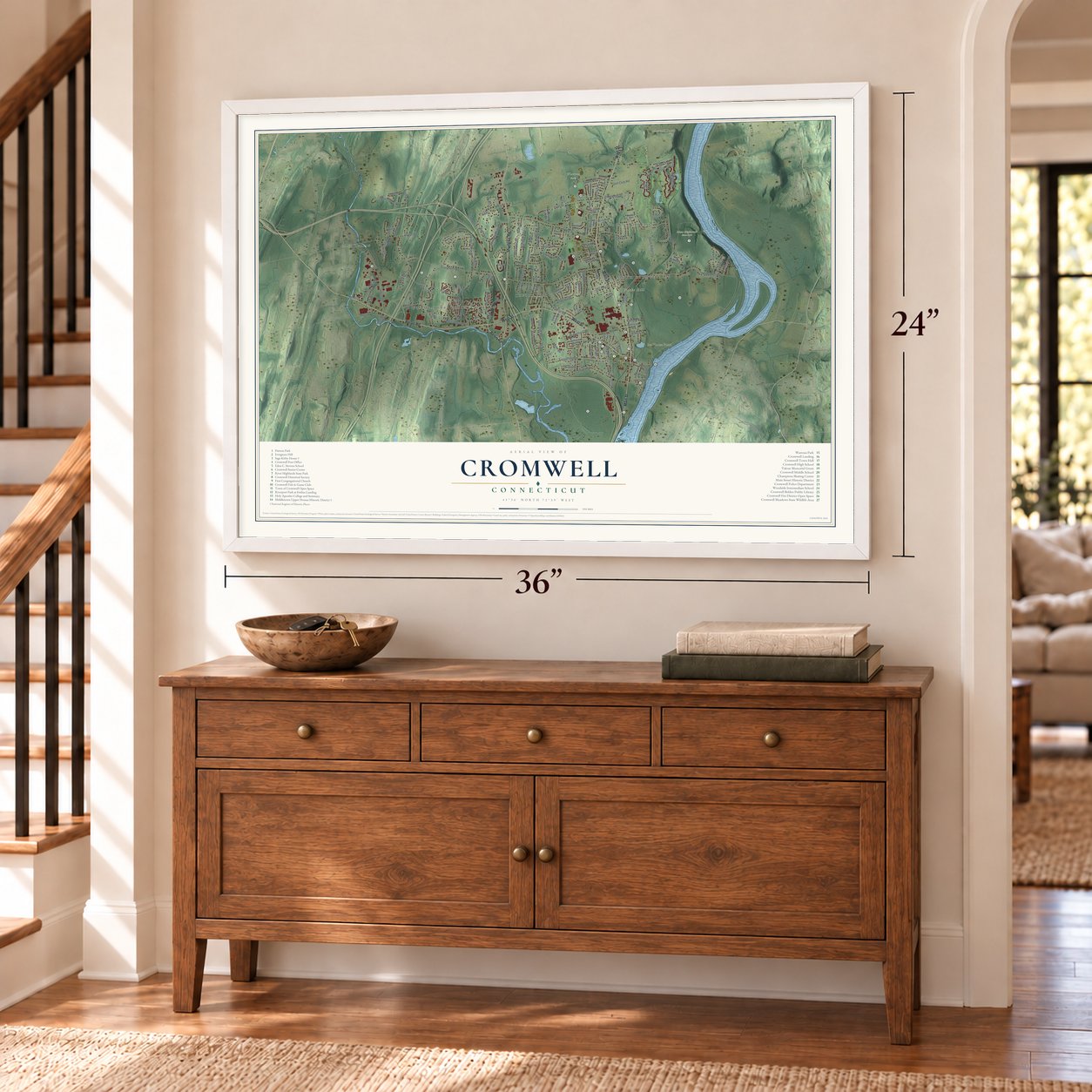
Unframed archival matte, a black wood frame or a white wood frame.
Up close
Geography Worth Displaying
This map was created using accurate cartographic data and authoritative geographic sources, including the U.S. Geological Survey (USGS) and FEMA. The map brings together terrain, waterways, roads, and building detail. The majority of the streets are labeled, houses are accurately depicted, and the topography is derived from government sources. Combining local data with carefully composed color and shading leads to this beautifully detailed Cromwell artwork for your wall.
Rather than simply showing street outlines, we’ve included as many of the street names as we could reasonably fit on the map while keeping their names legible. Zoom in on the high resolution preview to see exactly what’s on the map. We truly set out to create a statement piece for anyone who loves Cromwell. So whether it’s for you, or a gift for someone you love, we hope this map of Cromwell brings back fond memories.
Explore the full map of Cromwell, Connecticut and read about the local places it shows.

Find your street
Names on the Cromwell map
Every name below is printed on this map. Look for your street, your school, the park where you played, or the pond down the road.
Places and landmarks12
- Downtown
- Mustard Bowl
- Nooks Hill
- Ice House Pond
- River Highlands State Park
- Watrous Park
- East Berlin
- Cromwell Hills
- Oxford Park
- Goodrich Heights
- North Cromwell
- Fox Meadows
Streets and roads146
- Berlin Road
- Main Street
- Shunpike Road
- West Street
- Evergreen Road
- Coles Road
- Nooks Hill Road
- Field Road
- North Road
- South Street
- Willowbrook Road
- Washington Road
- River Road
- Court Street
- Geer Street
- Shadow Lane
- Timber Hill Road
- Sebethe Drive
- Hillside Road
- Golf Club Road
- Skyview Drive
- Hicksville Road
- South Ridge Lane
- Missionary Road
- Chelsea Drive
- Sovereign Ridge
- Country Squire Drive
- Winthrop Boulevard
- Blackhaw Drive
- New Lane
Show all 146 streets
- Alexander Drive
- Fawn Run
- Senator Drive
- Franklin Road
- Grove Road
- Rook Road
- Elm Road
- Woodside Road
- Bucks Crossing
- Congress Drive
- Kirby Road
- Crest Drive
- Vincy Drive
- Meadow Road
- Oak Road
- Scott Lane
- Vicki Lane
- Diane Drive
- Reiman Drive
- Alcap Ridge
- River Park Drive
- Sydney Lane
- Ridge Road
- Nursery Lane
- Wall Street
- Edgewood Street
- Butternut Drive
- Grace Lane
- Mystique Lane
- Ledge Road
- Bow Lane
- Allen Place
- Kowal Drive
- Ryan Court
- Iron Gate Lane
- Pasco Hill Road
- Heatherwood Green
- Lincoln Road
- Bellaire Manor
- Prospect Hill Road
- Cedar Drive
- Highland Crossing
- Brittany Circle
- Bellevue Terrace
- Pleasant Street
- Ranney Road
- Rivergate Drive
- Oakwood Manor
- Shady Lane
- North Ridge Drive
- Oxford Lane
- West Tract Road
- Raymond Place
- Nordland Avenue
- Millennium Drive
- Newbury Road
- Industrial Park Road
- Cider Hill Drive
- Arrowood Drive
- Robertson Road
- Thistle Down
- Oak Ridge Drive
- Smith Farm Road
- Evensen Place
- Sunset Drive
- Riverview Place
- Olson Avenue
- Grassy Hill
- Walnut Tree Road
- Laurel Drive
- Helena Drive
- Valley View Drive
- Cross Street
- Salem Drive
- Un Prrd
- Court Place
- Fairview Heights
- Meadowbrook Road
- Long Green Terrace
- Twin Oaks Drive
- Woodland Drive
- High Ridge Road
- Harrison Drive
- Lancaster Drive
- Summer Wind
- Shelley Street
- Pine Ridge Road
- Summer Brook Lane
- Belhaven
- Briadon Drive
- Riverdale Drive
- Russell Road
- Larkspur Drive
- Margo Court
- Agawam Drive
- Valley Run Drive
- Pine Court
- Cromwell Hills Drive
- Glenwood Terrace
- Woodsboro Circle
- Christian Hill Road
- Anthony Avenue
- Goodrich Avenue
- Beechwood Circle
- Jennifer Lane
- Copper Knoll Lane
- North Road Extended
- Capilos Drive
- Old Colony Lane
- Deming Lane
- Doerring Drive
- Holly Hills Drive
- Loquat Drive
- Carroll Place
- Holly Court
- Amy Lane
Names are listed as they appear on the printed map. Zoom into the product photos to find them.
About Cromwell, Connecticut
Cromwell is a town of 14,225 people in Middlesex County, on the west bank of the Connecticut River just north of Middletown. Around 1650 Middletown's settlers laid out a village above the mouth of the Little River and called it the Upper Houses. It became a parish of its own in 1703, with about 250 people, and it opened its own burying ground in 1713. By 1715 it had 50 households, a school and a church.
For more than a century the village lived by the river. Its ships took hay and mules to the West Indies and brought back rum, molasses, sugar and mahogany. The War of 1812 hurt that trade, New York later drew most of it away, and by 1884 no vessel was owned wholly in Cromwell. The river, the Mattabesset and the ridges also cut the village off from Middletown, so in 1851 the General Assembly made it the town of Cromwell, with 1,259 people.
“the whole place wears an air of sprightliness and prosperity.”
- Iron toys since 1843John and Elisha Stevens opened their shop in 1843 to make cast iron hardware. By 1850 forty workers turned out about seventy different articles, and every week the shop cast half a ton of wheels meant for toy wagons. Pattern maker Russel Frisbie took over the works in 1866 and added toy after toy, and the company became the country's biggest maker of cast iron toys. John Stevens's house of 1853 now holds the Cromwell Historical Society.
- The Rose King of AmericaAndrew N. Pierson left Sweden in 1869 and came to Cromwell in 1871 to work as a gardener. He then bought about eight acres of cow pasture on borrowed money and sold flowers in Hartford. The March blizzard of 1888 crushed every one of his hothouses, but friends helped him rebuild and he switched to roses. By 1917 Cromwell Gardens covered 500 acres and employed 350 workers, and glass greenhouses roofed 22 of those acres. Pierson Park bears his name.
- Ebenezer Sage's brick houseThe Sage-Kirby House was built between 1811 and 1815 for Ebenezer Sage, whose family was among Cromwell's early settlers. It is one of four brick Federal houses still standing in town, and the only one built around a central chimney. It was split into a duplex in 1944, restoration began in 1953, and it joined the National Register in 1982.
- A library from CaliforniaJosiah Belden was born in the Upper Houses in 1815 and left in 1831. In 1841 he traveled to California with the first wagon train that carried settlers there, and he made his fortune running a general store in the Gold Rush years. In 1888 he sent home a large gift for a new public library, and the Cromwell Belden Public Library carries his name.
Keep exploring Connecticut
Cromwell is one of 382 Connecticut towns we've mapped. Every dot on the map is a print of its own.
The search covers every state, Connecticut first.
Near Cromwell
Order 2 or more town maps and save 10%. Shown in the size and finish you picked above, so they hang as a set.
- Rocky Hill 12" x 18" / Archival Matte Print $39.99
- Portland 12" x 18" / Archival Matte Print $39.99
- Middletown 12" x 18" / Archival Matte Print $39.99


More maps nearby: Hopewell, Kensington, Wethersfield, Newington and Berlin.
The art of mapping a place
How This Map Was Made
Real places. Remarkable detail. Discover the layers that turn geographic data into a map of home.

The view from above
Aerial imagery reveals the character of the land: woodland, open fields, and the patterns of a place.

The shape of the land
Elevation data brings hills, valleys, and subtle changes in the landscape into view.

The details of home
Roads, waterways, and building footprints come together to make the map feel unmistakably local.

Geography becomes art
Considered color, shading, and typography bring the layers together in a map made for your wall.


Process illustrated with Mendon, Massachusetts. Aerial imagery: USDA NAIP. Terrain: USGS 3D Elevation Program. Map details and finished artwork: KNOWOL.
The Details
About This Print
Choose an archival matte print, or a black or white Ayous wood frame. The archival matte print is unframed.
Select your size and finish above to see the matching product image and price.
Materials & Craftsmanship
A contemporary map with the character of a classic atlas, printed on archival matte paper. Optional frames are made from Ayous wood.
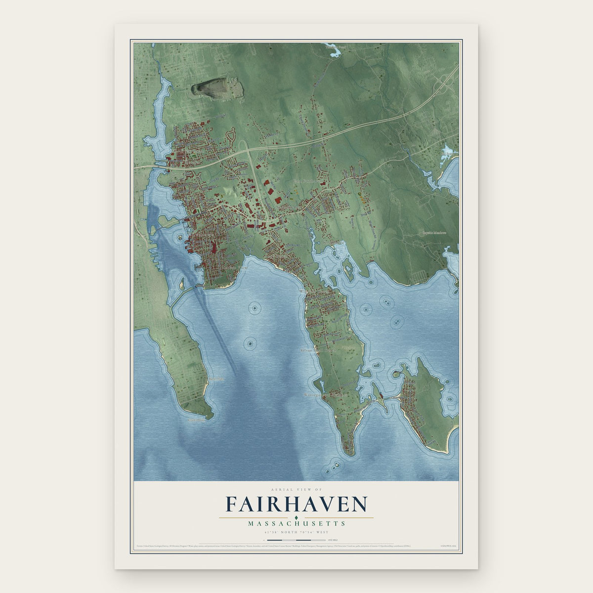
Your printed map does not include the watermark shown in the full-map preview.
Shipping & Delivery
Free shipping within the United States. Every print is made to order in the USA.
Buying a gift? Add a note in your cart and we'll include it. We never put prices in the package.
Prints ship within 2 to 3 business days. Allow 7 to 10 days total from ordering for delivery. Timing may vary during holidays or periods of high order volume.
Read our shipping policy.
Returns and damaged prints
Each print is made to order. Change-of-mind refunds are not available after production.
If your print arrives damaged, misprinted or incorrect, contact support@knowol.com within 30 days of receiving it. Include your order number, photos and a description of the issue.
Read our full refund and replacement policy. For questions about your order, email support@knowol.com.