
Search for another town


Free U.S. delivery 7 to 10 days after you order
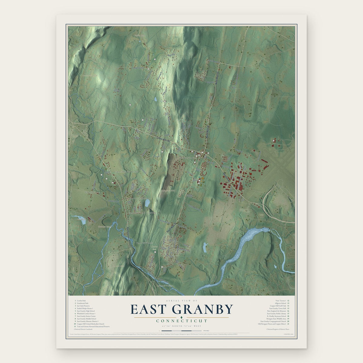
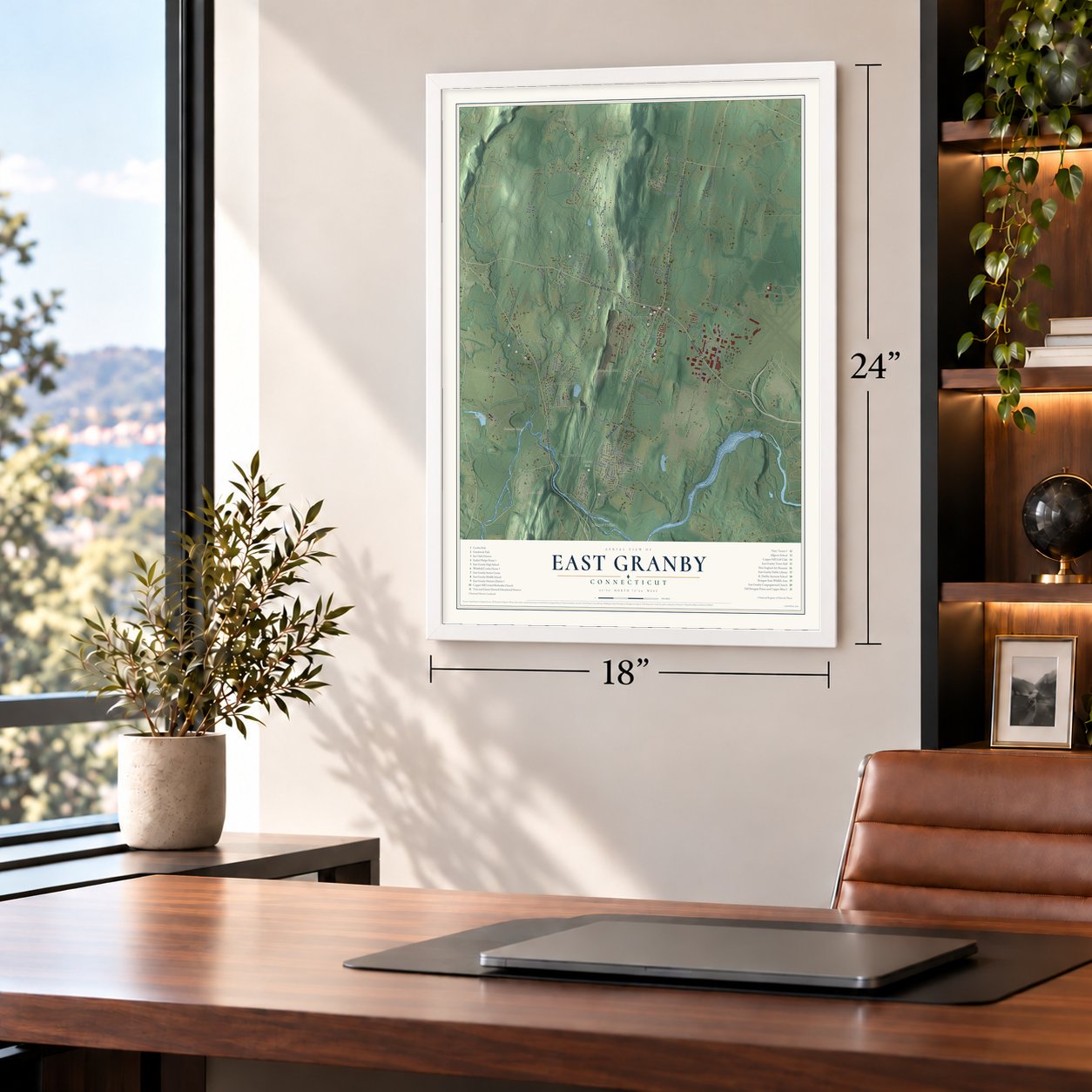
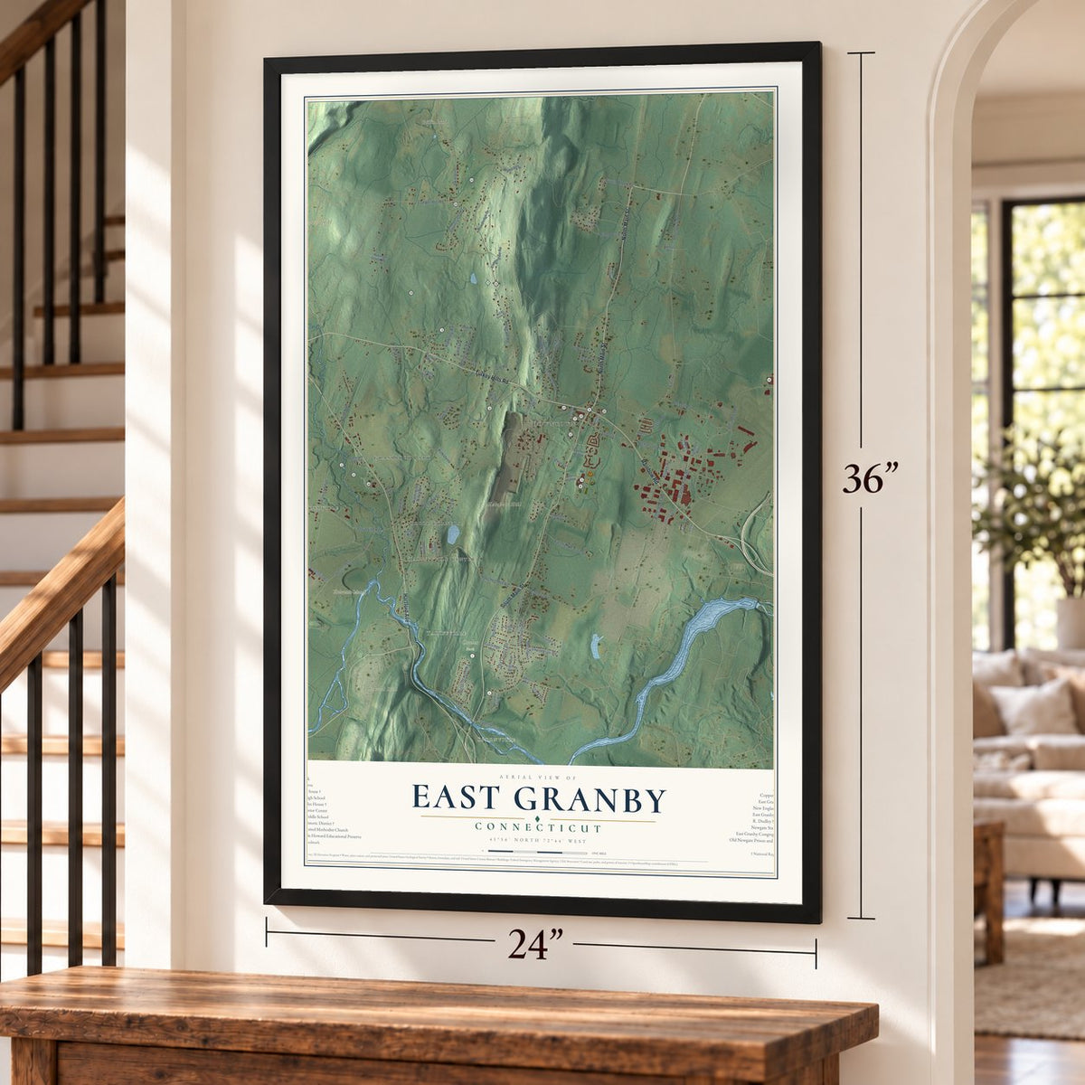
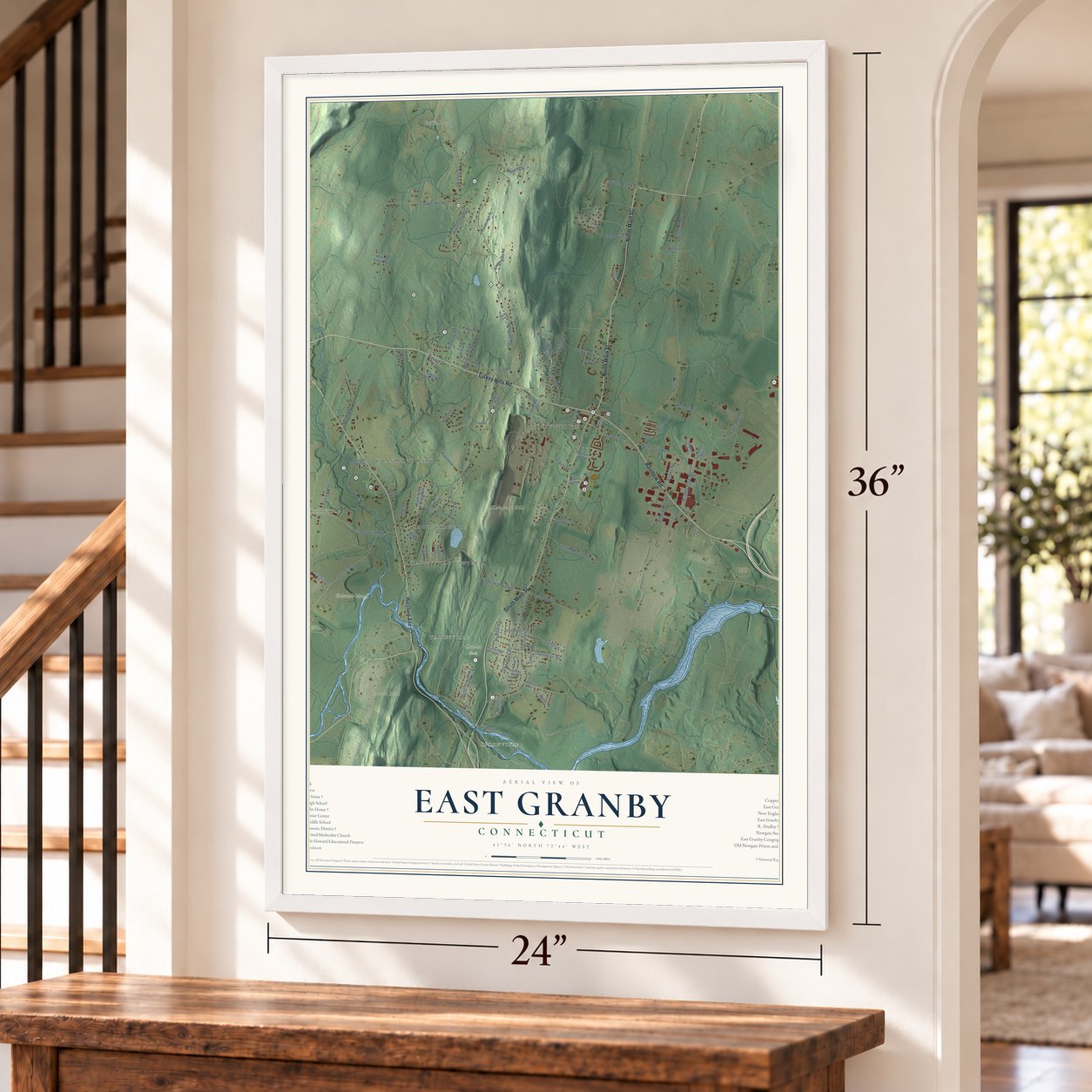
East Granby, Connecticut Map Art
Building by building, with labeled streets and shaded relief.
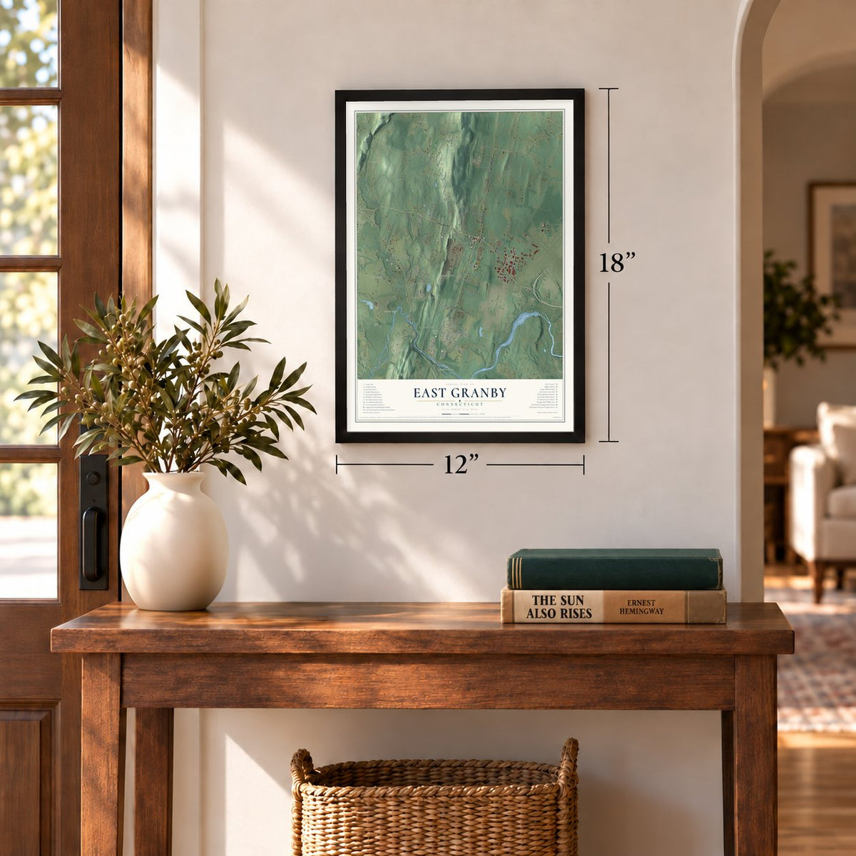
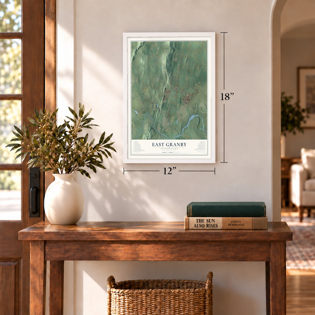
12" x 18" Archival Matte Print
A Map of Home. A Work of Art.
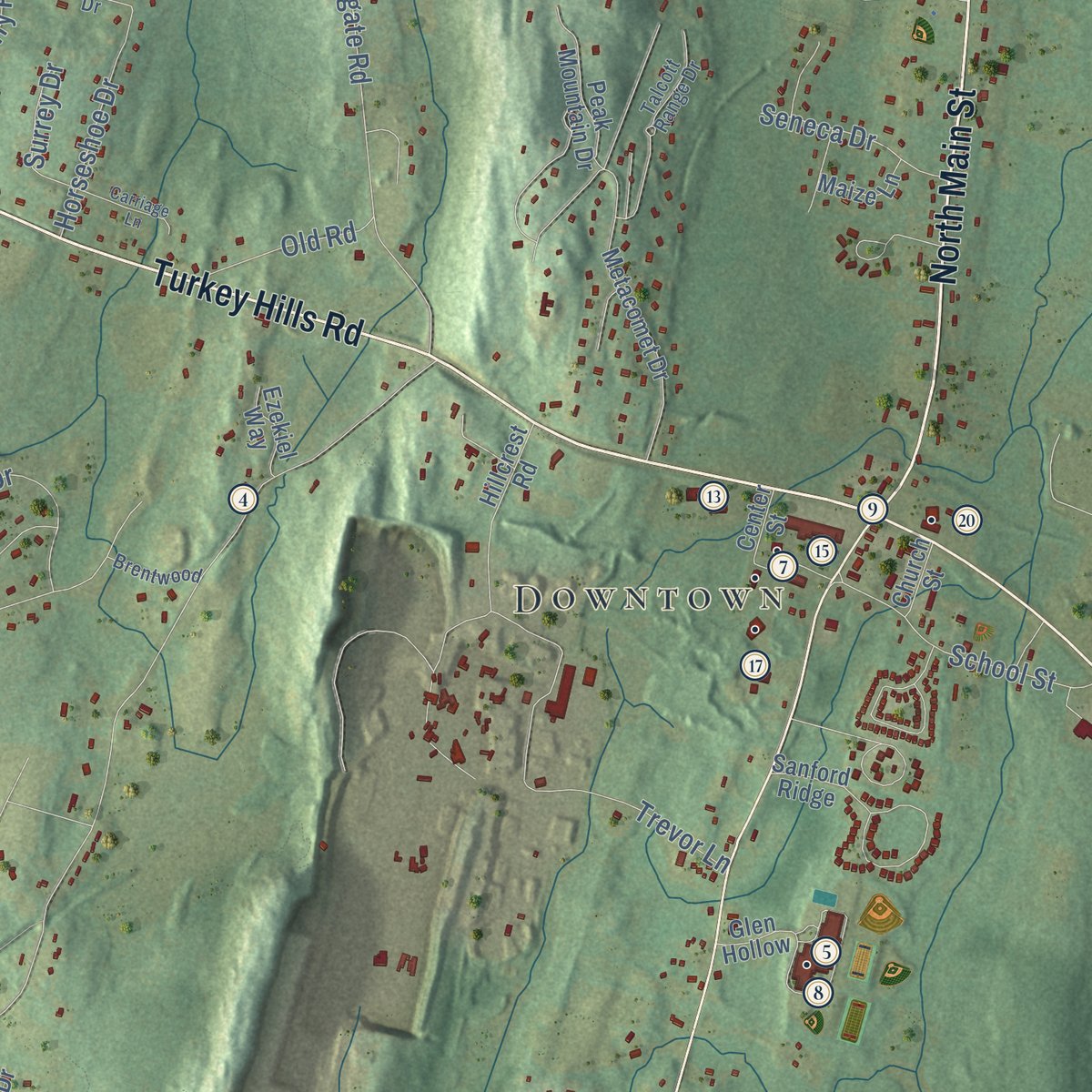
Explore East Granby, Connecticut from a whole new perspective. Created using aerial imagery and detailed geographic data, this map captures East Granby building by building, with labeled streets, familiar landmarks, and shaded topographical relief that highlights the natural contours of the landscape.
Combining modern data with the timeless character of a vintage atlas, this map is just as interesting up close as it is beautiful on the wall. Whether you grew up in East Granby, spent memorable years there, or call it home today, this unique map is a great way to celebrate a place that means something to you. Zoom in on the preview to look for your street, and then order a print to put your memories on the wall.

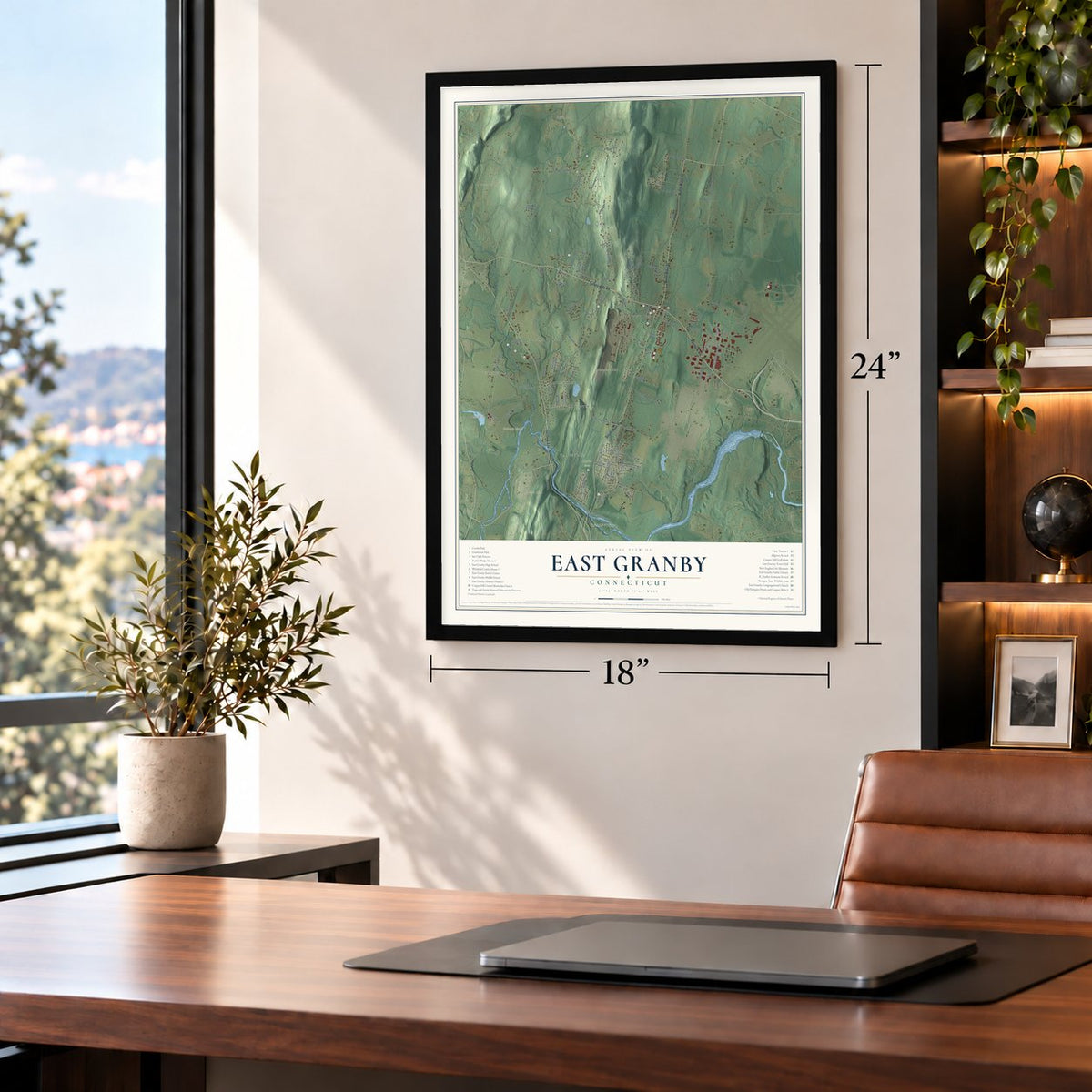
Three ways to hang it
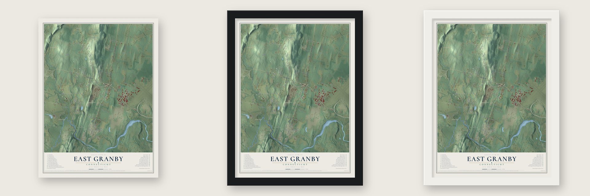
Unframed archival matte, a black wood frame or a white wood frame.
Up close
Geography Worth Displaying
This map was created using accurate cartographic data and authoritative geographic sources, including the U.S. Geological Survey (USGS) and FEMA. The map brings together terrain, waterways, roads, and building detail. The majority of the streets are labeled, houses are accurately depicted, and the topography is derived from government sources. Combining local data with carefully composed color and shading leads to this beautifully detailed East Granby artwork for your wall.
Rather than simply showing street outlines, we’ve included as many of the street names as we could reasonably fit on the map while keeping their names legible. Zoom in on the high resolution preview to see exactly what’s on the map. We truly set out to create a statement piece for anyone who loves East Granby. So whether it’s for you, or a gift for someone you love, we hope this map of East Granby brings back fond memories.
Explore the full map of East Granby, Connecticut and read about the local places it shows.

Find your street
Names on the East Granby map
Every name below is printed on this map. Look for your street, your school, the park where you played, or the pond down the road.
Places and landmarks14
- Downtown
- Spoonville
- Duncaster Hill
- Hatchett Hill
- Holcomb Island
- Laurel Hill
- Griffin Pond
- Lake Basile
- Cowles Park
- Carroll Corners
- Granbrook Park
- Floydville
Show all 14 places
- Tariffville
- Tariffville Center
Streets and roads94
- Turkey Hills Road
- North Main Street
- South Main Street
- Hartford Avenue
- Rainbow Road
- South Grand Street
- Nicholson Road
- Newgate Road
- Holcomb Street
- Spoonville Road
- Hatchett Hill Road
- Trevor Lane
- Copper Hill Road
- Floydville Road
- East Street
- Perimeter Road
- Wynding Hills Road
- Brighton Drive
- Country Club Lane
- Wolcott Road
- Griffin Road
- Tunxis Avenue
- Kimberly Road
- Seymour Road
- Eastfield Farms Drive
- North Road
- Kirkstone
- Bradley Park Road
- Old Church Road
- Russell Road
Show all 94 streets
- Crystal Drive
- School Street
- Pond Lane
- Horseshoe Drive
- Wyncairne
- Old County Road
- Stark Drive
- Austin Brook Drive
- Kripes Road
- Ridge Boulevard
- Melody Lane
- Railroad Avenue
- Seneca Drive
- Old Road
- Sweetbriar Road
- Heather Lane
- Hazelwood Road
- Surrey Drive
- Lordship Road
- Aspen Rise
- Sanford Ridge
- Metacomet Drive
- Peak Mountain Drive
- Woodledge Drive
- Concord Drive
- Nutmeg Road
- Glen Hollow
- Washington Ridge Road
- Miller Road
- Coppergate Road
- Hatchett Hill Lane
- Tunbridge Road
- Jefferson Drive
- Hamilton Road
- Airport Park Road
- Granger Circle
- Rolling Green Road
- Heritage Farm Road
- Chrismis Tree Lane
- Ezekiel Way
- Signature Way
- Hillcrest Road
- Maize Lane
- Larch Drive
- Waverly Way
- Sutton Place
- Church Street
- Center Street
- Talcott Range Drive
- International Drive
- Huckleberry Drive
- Brentwood
- Lexington Drive
- High Farm Road
- Granbrook Park Road
- Sage Lane
- Valley View Drive
- Saddle Drive
- Walnut Drive
- Old County Highway
- Alderman Lane
- Carriage Lane
- Old Farms Lane
- Harvest Lane
Names are listed as they appear on the printed map. Zoom into the product photos to find them.
About East Granby, Connecticut
East Granby is a town of 5,214 people in Hartford County, where the Farmington River runs along its southern edge. Europeans settled here in 1664, when John Griffin lived at the Falls and made tar from the pine woods. In 1736 forty-six families formed the Society of Turkey Hills, a parish of Simsbury, and in 1786 the parish became part of Granby. Its first attempt to break away came in 1793, but it did not succeed until June 2, 1858, when East Granby was incorporated with almost the same bounds as the old parish.
Copper was found in 1705 on Talcott Mountain's western slope, and miners started digging in 1707, at the first incorporated copper mine in America. England allowed no smelting in the colonies, so the ore had to sail across the ocean, and the profits stayed small. A stone wall with watch towers went up around the yard in 1802, and in 1827 the prisoners were moved to Wethersfield.
“Copper Hill may at no distant day, share some of the fame of the mines of Lake Superior.”
- Cider for the BritishAfter Burgoyne surrendered at Saratoga in 1777, British prisoners of war were marched through town. A group of them stopped for the night at Captain Lemuel Bates's tavern in the north part of town. They had money to spend on the best he had, so his family carried cider out to them from morning until evening, and after dark the men slept on every floor of the house. Bates told the story for years afterward.
- The prison keeper's tavernIn 1712 Dr. John Viets got a license to run a house of public entertainment near the mine. His son John, the first keeper of the prison, ran the tavern as well, and Luke Viets kept it open until 1834. Old fireplaces and traces of a second floor ballroom survive inside Viets' Tavern, which joined the National Register in 1972.
- A house for Ezekiel, 1744Joseph Phelps built the Ezekiel Phelps House on Holcomb Street for his son in 1744, while the land still belonged to Simsbury. Ezekiel became a lieutenant in the Simsbury militia. Inside the Georgian house, the wide pine floorboards, the strap hinges and the Federal mantels have all survived, and it joined the National Register in 1982.
- The pastor who plated silverRev. Whitfield Cowles was ordained pastor at Turkey Hills in 1794. In 1802 he bought a house on Spoonville Road with 75 acres. Once he stepped down as pastor, he started a textile business, ran a wire factory and experimented with silver electroplating. His son William kept at it, and with Hartford silversmiths the family made silver plated spoons and tableware. The Whitfield Cowles House joined the National Register in 2014.
- Spoons and a mill at SpoonvilleJames Kenworthy, a silversmith who came from Leeds, England, started making German silver forks and spoons at Spoonville about 1842. Henry Case bought the flour and feed mill there in 1855 with 115 acres, added a sawmill, and around 1868 put in the first circular saw in that part of the state's valley. He was also among the first in Spoonville to raise tobacco in quantity.
Keep exploring Connecticut
East Granby is one of 376 Connecticut towns we've mapped. Every dot on the map is a print of its own.
The search covers every state, Connecticut first.
Near East Granby
Order 2 or more town maps and save 10%. Shown in the size and finish you picked above, so they hang as a set.
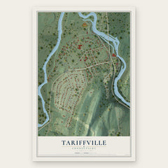
- Tariffville 12" x 18" / Archival Matte Print $39.99
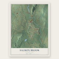
- Salmon Brook 12" x 18" / Archival Matte Print $39.99
- Simsbury Center 12" x 18" / Archival Matte Print $39.99

More maps nearby: Windsor Locks, Poquonock, Granby, Windsor and Simsbury.
The art of mapping a place
How This Map Was Made
Real places. Remarkable detail. Discover the layers that turn geographic data into a map of home.

The view from above
Aerial imagery reveals the character of the land: woodland, open fields, and the patterns of a place.

The shape of the land
Elevation data brings hills, valleys, and subtle changes in the landscape into view.

The details of home
Roads, waterways, and building footprints come together to make the map feel unmistakably local.

Geography becomes art
Considered color, shading, and typography bring the layers together in a map made for your wall.


Process illustrated with Mendon, Massachusetts. Aerial imagery: USDA NAIP. Terrain: USGS 3D Elevation Program. Map details and finished artwork: KNOWOL.
The Details
About This Print
Choose an archival matte print, or a black or white Ayous wood frame. The archival matte print is unframed.
Select your size and finish above to see the matching product image and price.
Materials & Craftsmanship
A contemporary map with the character of a classic atlas, printed on archival matte paper. Optional frames are made from Ayous wood.
Your printed map does not include the watermark shown in the full-map preview.
Shipping & Delivery
Free shipping within the United States. Every print is made to order in the USA.
Buying a gift? Add a note in your cart and we'll include it. We never put prices in the package.
Prints ship within 2 to 3 business days. Allow 7 to 10 days total from ordering for delivery. Timing may vary during holidays or periods of high order volume.
Read our shipping policy.
Returns and damaged prints
Each print is made to order. Change-of-mind refunds are not available after production.
If your print arrives damaged, misprinted or incorrect, contact support@knowol.com within 30 days of receiving it. Include your order number, photos and a description of the issue.
Read our full refund and replacement policy. For questions about your order, email support@knowol.com.