


Search for another town




Free U.S. delivery 7 to 10 days after you order
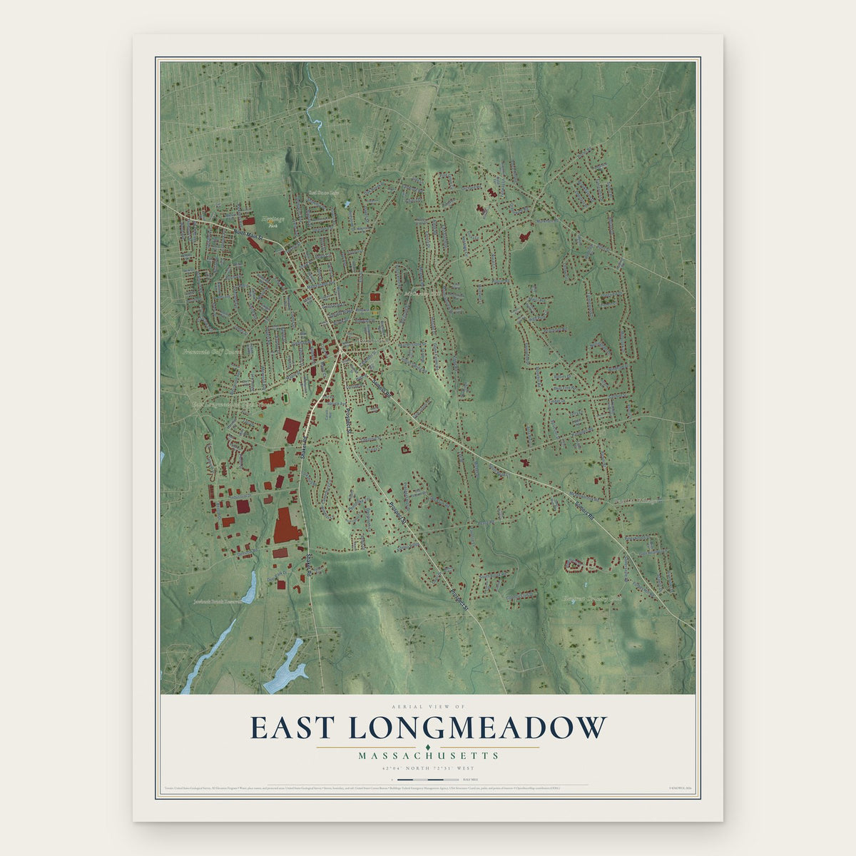
East Longmeadow, Massachusetts Map Art
Building by building, with labeled streets and shaded relief.
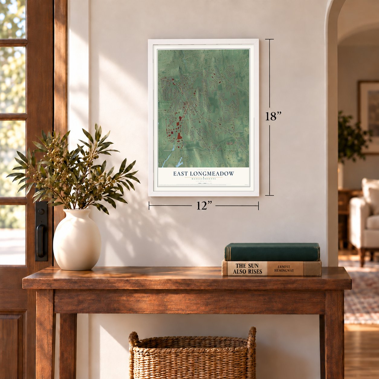
12" x 18" Archival Matte Print
A Map of Home. A Work of Art.
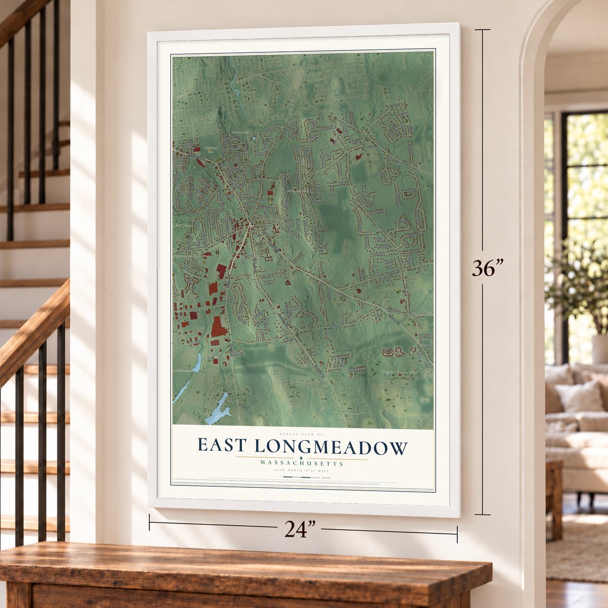
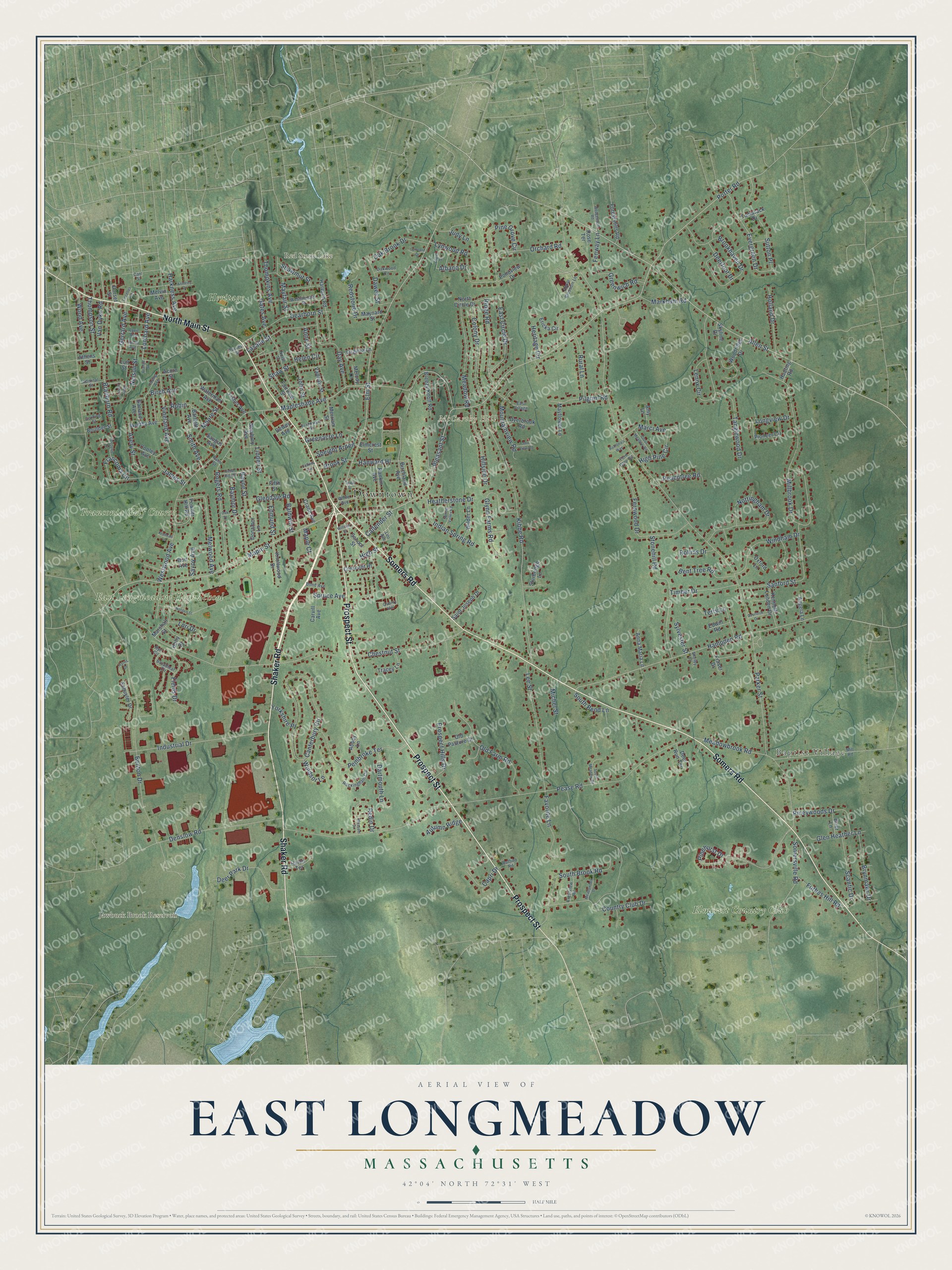
Explore East Longmeadow, Massachusetts from a whole new perspective. Created using aerial imagery and detailed geographic data, this map captures East Longmeadow building by building, with labeled streets, familiar landmarks, and shaded topographical relief that highlights the natural contours of the landscape.
Combining modern data with the timeless character of a vintage atlas, this map is just as interesting up close as it is beautiful on the wall. Whether you grew up in East Longmeadow, spent memorable years there, or call it home today, this unique map is a great way to celebrate a place that means something to you. Zoom in on the preview to look for your street, and then order a print to put your memories on the wall.
Three ways to hang it
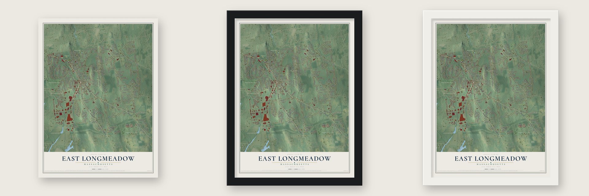
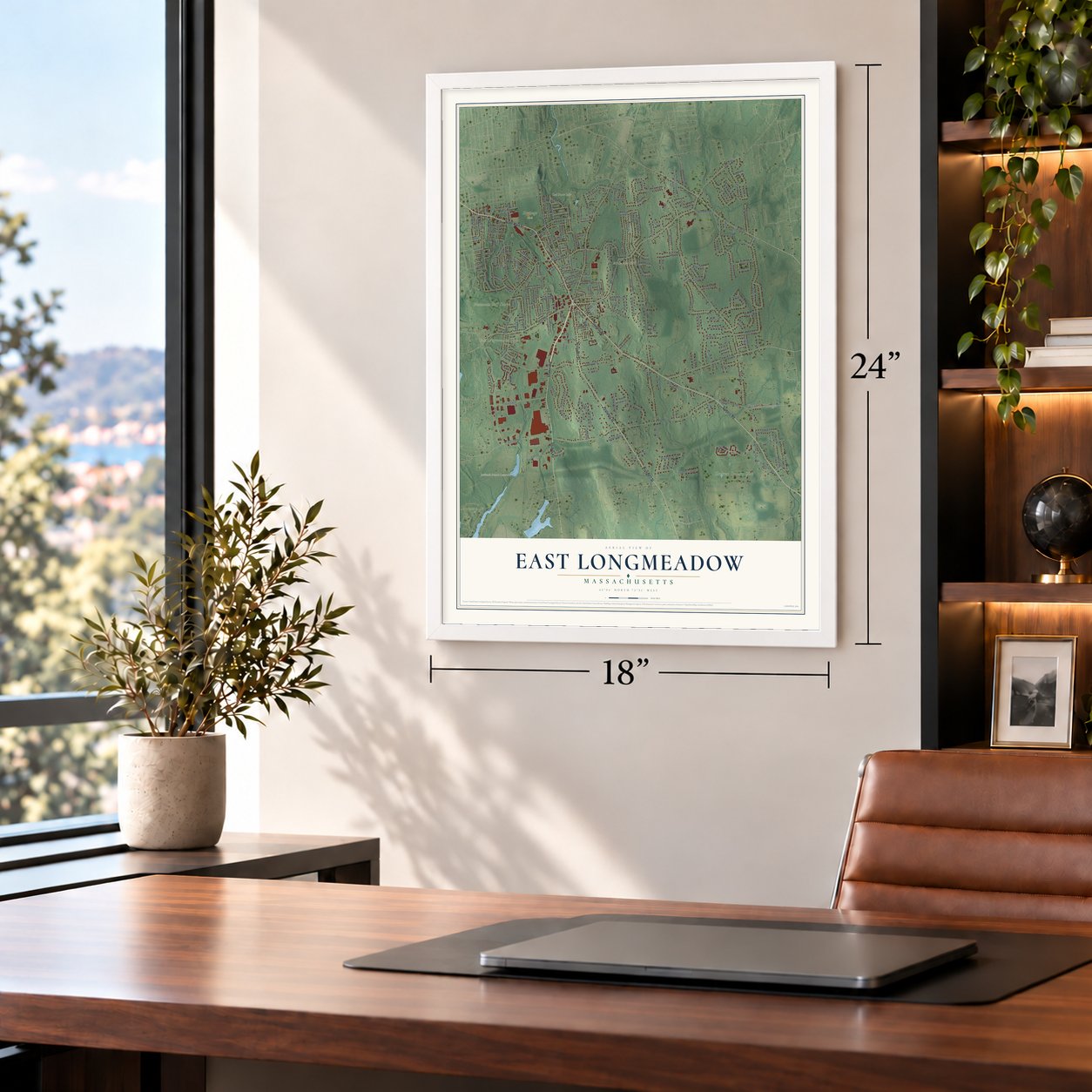
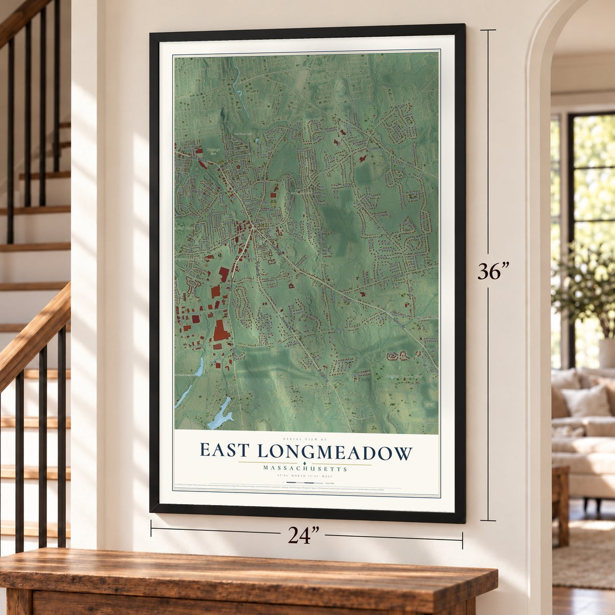
Unframed archival matte, a black wood frame or a white wood frame.
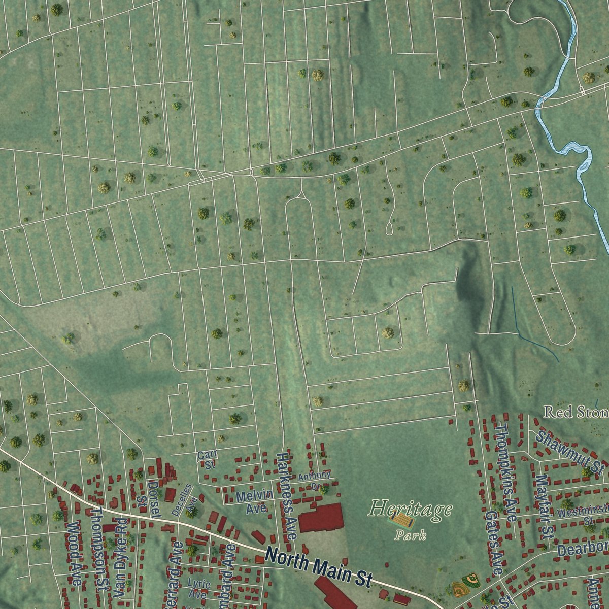
Up close
Geography Worth Displaying
This map was created using accurate cartographic data and authoritative geographic sources, including the U.S. Geological Survey (USGS) and FEMA. The map brings together terrain, waterways, roads, and building detail. The majority of the streets are labeled, houses are accurately depicted, and the topography is derived from government sources. Combining local data with carefully composed color and shading leads to this beautifully detailed East Longmeadow artwork for your wall.
Rather than simply showing street outlines, we’ve included as many of the street names as we could reasonably fit on the map while keeping their names legible. Zoom in on the high resolution preview to see exactly what’s on the map. We truly set out to create a statement piece for anyone who loves East Longmeadow. So whether it’s for you, or a gift for someone you love, we hope this map of East Longmeadow brings back fond memories.
Explore the full map of East Longmeadow, Massachusetts and read about the local places it shows.
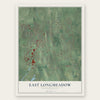
Find your street
Names on the East Longmeadow map
Every name below is printed on this map. Look for your street, your school, the park where you played, or the pond down the road.
Places and landmarks9
- Downtown
- Baptist Village
- McCarthy Hill
- Jawbuck Brook Reservoir
- Red Stone Lake
- Franconia Golf Course
- Elmcrest Country Club
- East Longmeadow High School
- Heritage Park
Streets and roads251
- Shaker Road
- Prospect Street
- North Main Street
- Somers Road
- Maple Street
- Pleasant Street
- Allen Street
- Elm Street
- Porter Road
- Mapleshade Avenue
- Hampden Road
- Pinehurst Drive
- Parker Street
- Pease Road
- Chestnut Street
- Kibbe Road
- Benton Drive
- Westwood Avenue
- Millbrook Drive
- Canterbury Circle
- Meadowbrook Road
- Tanglewood Drive
- Brookhaven Drive
- Denslow Road
- Industrial Drive
- Vineland Avenue
- Pembroke Terrace
- Nottingham Drive
- Stonehill Road
- Fernwood Drive
Show all 251 streets
- Lee Street
- Old Farm Road
- Braeburn Road
- Sanford Street
- South Brook Road
- Glynn Farms Road
- Country Club Drive
- Franconia Circle
- Melwood Avenue
- Meadow Road
- Evergreen Drive
- Rogers Road
- Somersville Road
- Colony Drive
- Gates Avenue
- Hanward Hl
- Dearborn Street
- Day Avenue
- Ridge Road
- Deer Park Drive
- Orchard Road
- Bayne Street
- Windham Drive
- East Circle Drive
- Mountainview Road
- Hillside Drive
- Smith Avenue
- Favorite Lane
- Lasalle Street
- Pineywoods Drive
- Pine Grove Circle
- Fields Drive
- Glen Heather Lane
- Timber Drive
- Brynmawr Drive
- Indian Spring Road
- Edmund Street
- Oak Brook Drive
- Holland Drive
- Lenox Circle
- Scantic Drive
- Rural Lane
- Helen Circle
- Prospect Hills Drive
- Marci Avenue
- Bent Tree Road
- Gerrard Avenue
- Avery Street
- Wood Avenue
- Dartmouth Lane
- Sutton Place
- Greenwich Road
- Pilgrim Road
- Birch Avenue
- Forbes Hill Road
- Moore Street
- Baymor Drive
- John Street
- Nelson Street
- Peachtree Road
- High Pine Circle
- Thompson Street
- Redin Drive
- Thompkins Avenue
- Markham Road
- Heatherstone Drive
- Savoy Avenue
- Harkness Avenue
- Longview Drive
- Speight Arden
- Spruce Avenue
- Glendale Road
- Lombard Avenue
- Redstone Drive
- Capri Drive
- Yorkshire Place
- Dawes Street
- Lynwood Road
- Deerfoot Drive
- South Bend Lane
- Shawmut Street
- Terry Lane
- James Street
- Autumn Ridge
- Windsor Lane
- Mayfair Street
- Greenacre Lane
- Callender Street
- High Street
- Baldwin Street
- Michel Street
- Van Dyke Road
- Shaw Street
- Brook Street
- Rollins Drive
- Maple Court
- Heritage Circle
- Sylvester Street
- Judy Lane
- Albano Drive
- Lori Drive
- Anne Street
- Fenway Lane
- Robin
- Linden Street
- Hunting Road
- Harwich Road
- Marshall Street
- Fairview Street
- Pioneer Circle
- Woodridge Drive
- Waterman Avenue
- Rankin Avenue
- North Circle Drive
- Cooley Avenue
- Deer Run Terrace
- Breezy Knoll Road
- Carvill Avenue
- Kenneth Lunden Drive
- Saint Joseph Drive
- Birchland Avenue
- Forest Hills Road
- Knollwood Drive
- Elmcrest Street
- Wilder Lane
- Schuyler Drive
- Anna Maria Lane
- Sturbridge Lane
- Merriam Street
- Powder Hill Road
- Halon Terrace
- Donamor Lane
- Tracey Lane
- Worthy Avenue
- Mayflower Lane
- Melvin Avenue
- Vadnais Street
- Newbury Avenue
- School Street
- Overbrook Road
- Crescent Hl
- Maynard Street
- Old Pasture Drive
- Fisher Avenue
- Pondview Drive
- Crane Avenue
- Fraser Drive
- Abbey Lane
- Dewey Avenue
- Angela Lane
- Saugus Avenue
- Virginia Lane
- Tamarack Drive
- Burt Avenue
- Ericka Circle
- Garland Avenue
- Boulder Street
- Brier Lane
- Oxford Lane
- Dorset Street
- Edwill Road
- Melody Lane
- Bartlett Avenue
- Amy Lane
- Athens Street
- Skyline Drive
- Rose Terrace
- Acorn Street
- Lull Street
- Fifth Street
- Holly Drive
- Young Avenue
- Mill Road
- Apple Blossom Lane
- Rockingham Circle
- Broadleaf Circle
- Lyric Avenue
- Westminster Street
- Frankwyn Street
- White Avenue
- Crestview Road
- Quarry Hill
- Admiral Street
- Ruffino Road
- Oakwood Circle
- North Street
- Bond Avenue
- Leo Avenue
- Fern Glen Road
- Purves Street
- Corning Street
- Shelby Lane
- East Village
- Palm Street
- Carr Street
- Rye Circle
- Wedgewood Road
- Norden Street
- Holy Cross Circle
- Taylor Street
- Cedar Hill Road
- Cross Meadow Road
- Euclid Avenue
- South Meadow Road
- Meadowlark Drive
- Spring Valley Road
- Overlook Drive
- Angel Street
- Pecousic Drive
- Anthony Drive
- Mnt View Road
- Ramona's Way
- Concord Drive
- Decelles Avenue
- William Street
- Blossom Drive
- Harris Drive
- Kronvall Lane
- Calkins Avenue
- Oak Street
- Orange Street
Names are listed as they appear on the printed map. Zoom into the product photos to find them.
About East Longmeadow, Massachusetts
East Longmeadow is a Hampden County town of 16,430 people, lying 5 miles southeast of downtown Springfield. Deer, bears, wildcats and wild turkeys once roamed the forest that covered its hills, and Jonathan and Elijah Burt and Silas Hale settled on these Longmeadow commons around 1740. Houses spread across this eastern side of Longmeadow in the 1750s, and people called the area the East Village.
For decades the East Village was the lesser half of Longmeadow. Until about 1820 every town meeting took place in the west village; then the growing east side won the right to hold every other one. Trains reached the village in 1876, and in 1882 the east side opened its own town hall on the upper floor of a school built from local stone. Each village traded with Springfield and the two grew apart. On May 19, 1894, the legislature made East Longmeadow a separate town, effective July 1. The new town took a little more than half the land and left the old town with only 620 people.
“No less than seven roads centering there like the spokes of a wheel.”
- Red stone for distant buildingsSettlers began digging red sandstone in the eastern hills as soon as they arrived, and at first anyone who found a ledge could quarry it, even on a neighbor's land. The stone went into gravestones, then the Springfield Armory. By 1902 it stood in Harvard's Sever Hall and Law School, Yale's Vanderbilt Hall, a New Orleans library and the Ames monument in Wyoming. Swedish, French and Italian workers came to labor in the quarries.
- The Church on the RotaryFor years East Village families walked miles through the woods every Sunday to reach the old church on Longmeadow's green. They formed their own religious society in 1827 and built a meetinghouse on the hill in 1828 for $3,500. In 1859 the building was brought from the hill into the village, where it also held town meetings until 1882. The First Congregational Church of East Longmeadow joined the National Register in 1978.
- A house from before 1740The Elijah Burt House on Chestnut Street went up sometime between 1720 and 1740 and is believed to be the oldest building in town. It was once a stop for early stagecoaches. By local tradition, the abolitionist who owned it in the years leading up to the Civil War hid people escaping slavery in the basement. The house joined the National Register in 1976.
- Seven streets, no lightsThe village center grew up where seven roads meet. Robert Ripley, of Ripley's Believe It or Not, made the Rotary famous because traffic from all seven streets moves through it without a single traffic light. Small shops and restaurants now ring the circle.
- Home of Milton BradleyIn the late 1960s the Milton Bradley Company shifted its game manufacturing out of Springfield into a new East Longmeadow plant covering 1,100,000 square feet. The company passed to Hasbro in 1984, and Cartamundi bought the plant in 2016.
Keep exploring Massachusetts
East Longmeadow is one of 470 Massachusetts towns we've mapped. Every dot on the map is a print of its own.
The search covers every state, Massachusetts first.
Near East Longmeadow
Order 2 or more town maps and save 10%. Shown in the size and finish you picked above, so they hang as a set.
- Longmeadow 12" x 18" / Archival Matte Print $39.99
- Hampden 12" x 18" / Archival Matte Print $39.99
- Springfield 12" x 18" / Archival Matte Print $39.99


More maps nearby: Wilbraham, Agawam, West Springfield, Ludlow and Chicopee.
The art of mapping a place
How This Map Was Made
Real places. Remarkable detail. Discover the layers that turn geographic data into a map of home.

The view from above
Aerial imagery reveals the character of the land: woodland, open fields, and the patterns of a place.

The shape of the land
Elevation data brings hills, valleys, and subtle changes in the landscape into view.

The details of home
Roads, waterways, and building footprints come together to make the map feel unmistakably local.

Geography becomes art
Considered color, shading, and typography bring the layers together in a map made for your wall.


Process illustrated with Mendon, Massachusetts. Aerial imagery: USDA NAIP. Terrain: USGS 3D Elevation Program. Map details and finished artwork: KNOWOL.
The Details
About This Print
Choose an archival matte print, or a black or white Ayous wood frame. The archival matte print is unframed.
Select your size and finish above to see the matching product image and price.
Materials & Craftsmanship
A contemporary map with the character of a classic atlas, printed on archival matte paper. Optional frames are made from Ayous wood.
Your printed map does not include the watermark shown in the full-map preview.
Shipping & Delivery
Free shipping within the United States. Every print is made to order in the USA.
Buying a gift? Add a note in your cart and we'll include it. We never put prices in the package.
Prints ship within 2 to 3 business days. Allow 7 to 10 days total from ordering for delivery. Timing may vary during holidays or periods of high order volume.
Read our shipping policy.
Returns and damaged prints
Each print is made to order. Change-of-mind refunds are not available after production.
If your print arrives damaged, misprinted or incorrect, contact support@knowol.com within 30 days of receiving it. Include your order number, photos and a description of the issue.
Read our full refund and replacement policy. For questions about your order, email support@knowol.com.