
Search for another town




Free U.S. delivery 7 to 10 days after you order
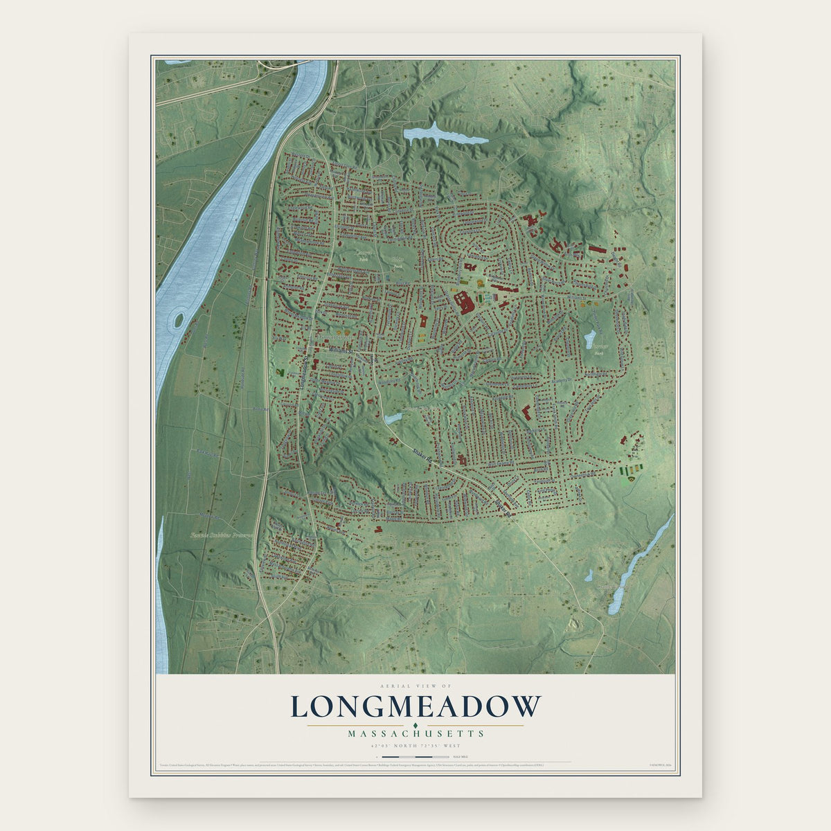
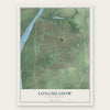
Longmeadow, Massachusetts Map Art
Building by building, with labeled streets and shaded relief.
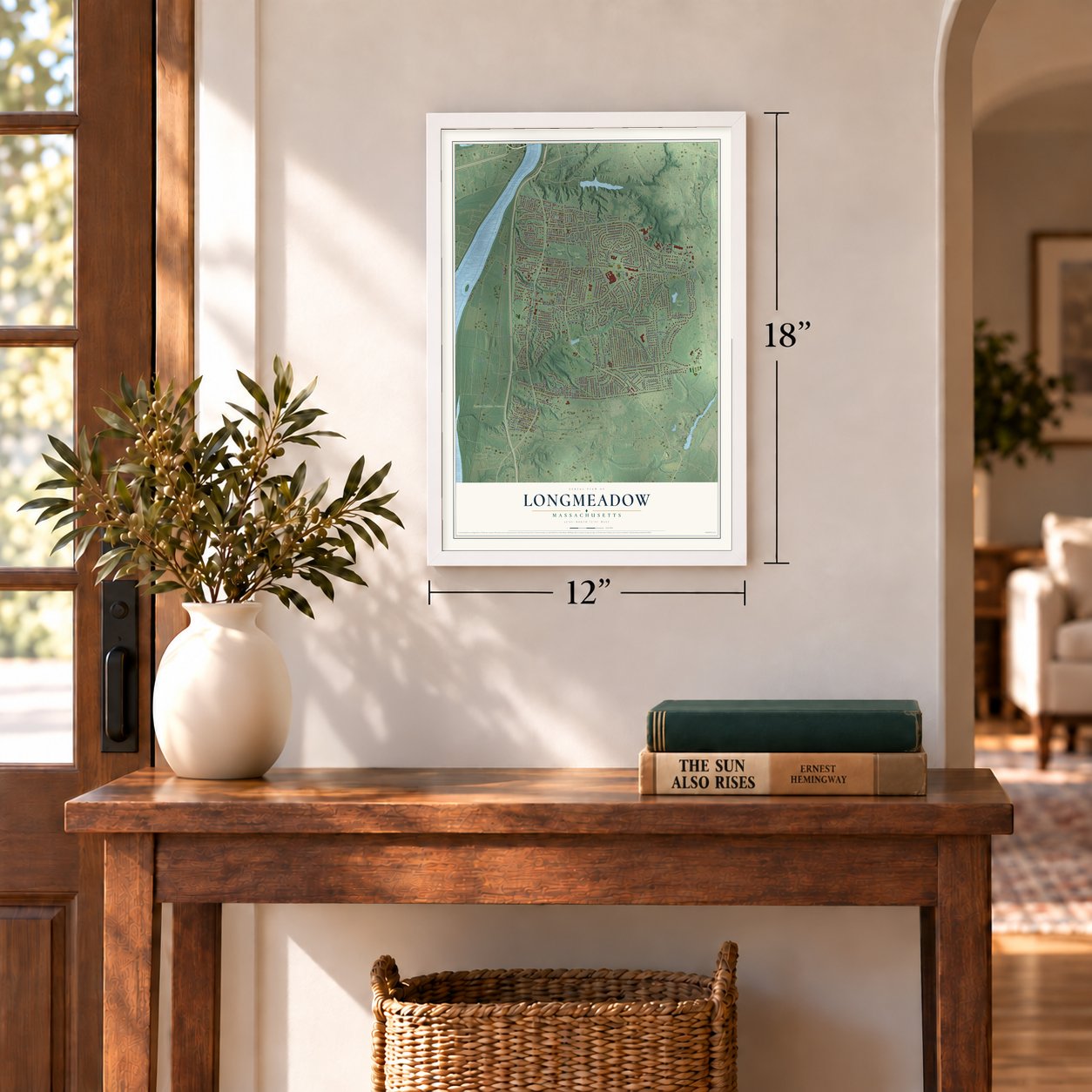
12" x 18" Archival Matte Print
A Map of Home. A Work of Art.
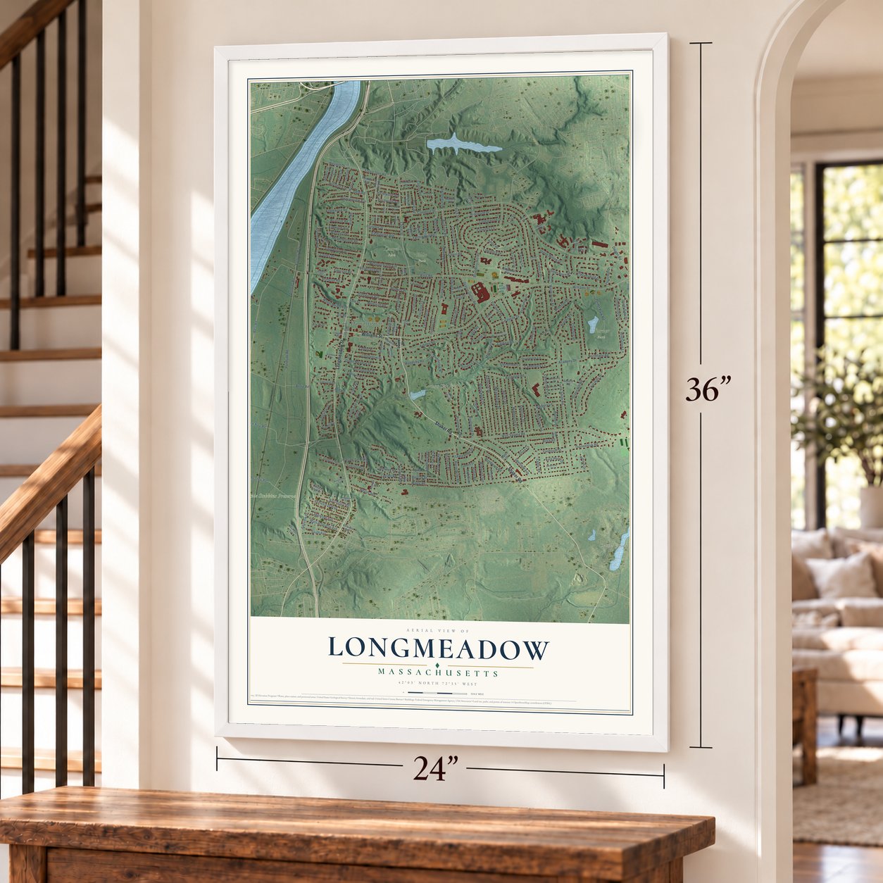
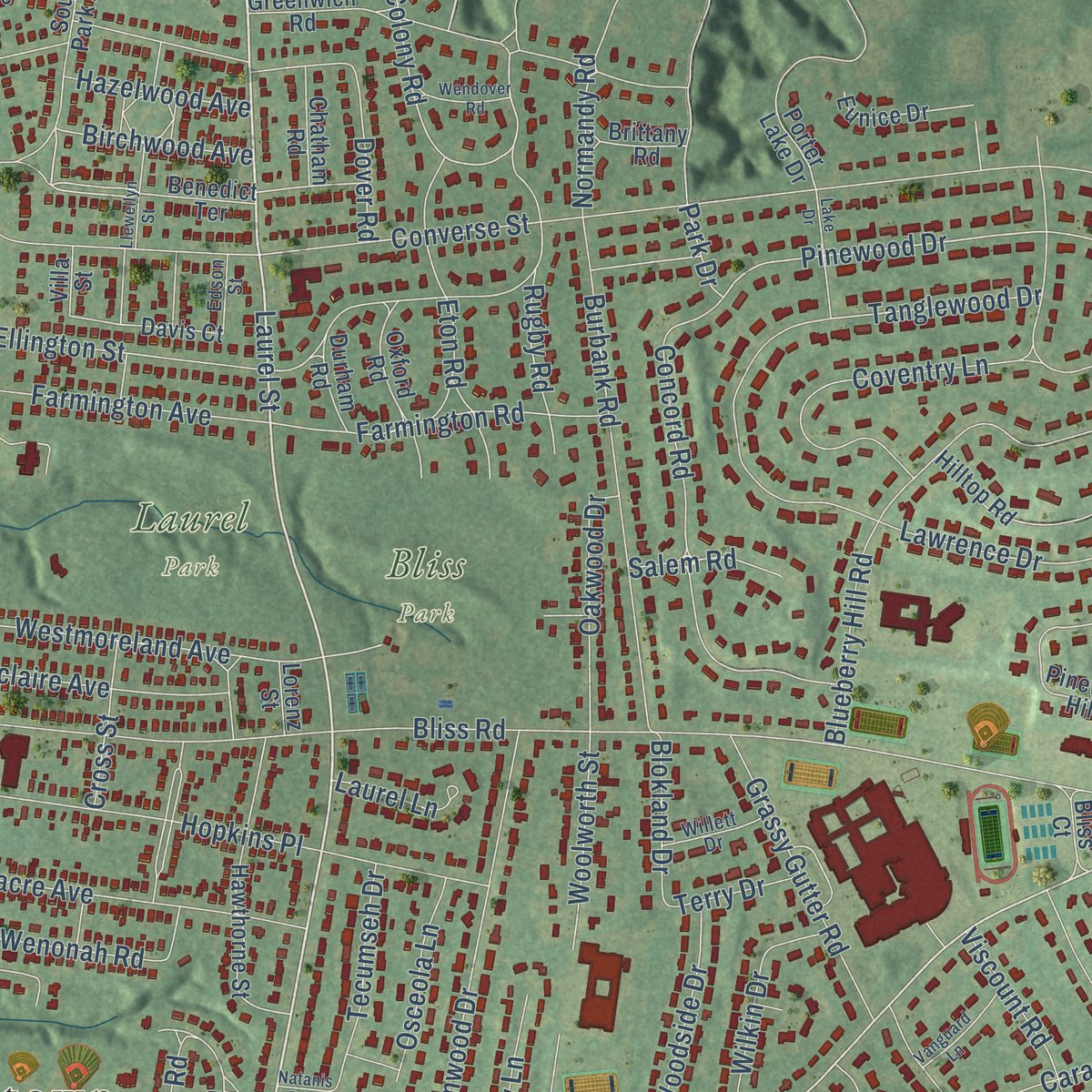
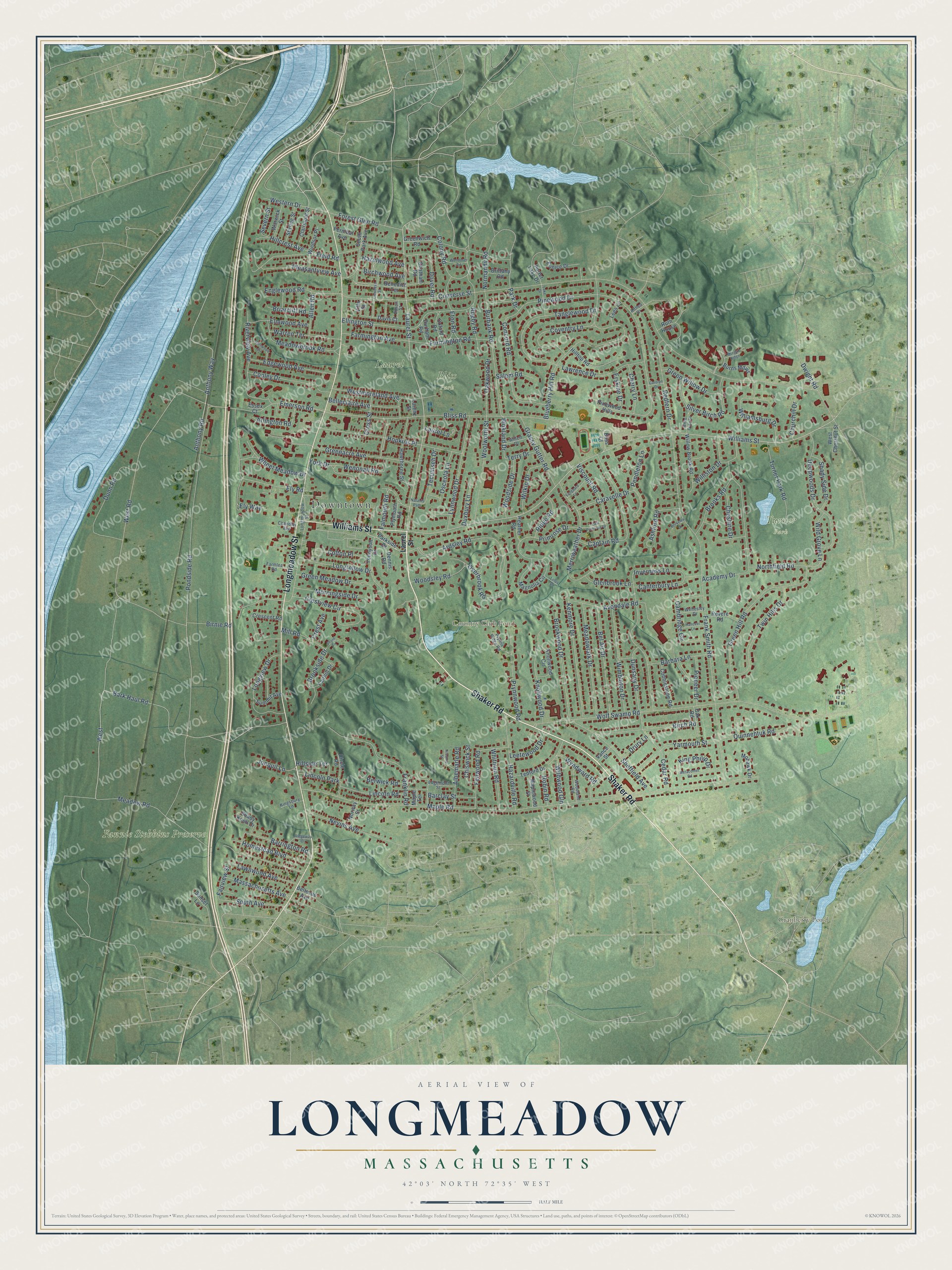
Explore Longmeadow, Massachusetts from a whole new perspective. Created using aerial imagery and detailed geographic data, this map captures Longmeadow building by building, with labeled streets, familiar landmarks, and shaded topographical relief that highlights the natural contours of the landscape.
Combining modern data with the timeless character of a vintage atlas, this map is just as interesting up close as it is beautiful on the wall. Whether you grew up in Longmeadow, spent memorable years there, or call it home today, this unique map is a great way to celebrate a place that means something to you. Zoom in on the preview to look for your street, and then order a print to put your memories on the wall.
Three ways to hang it
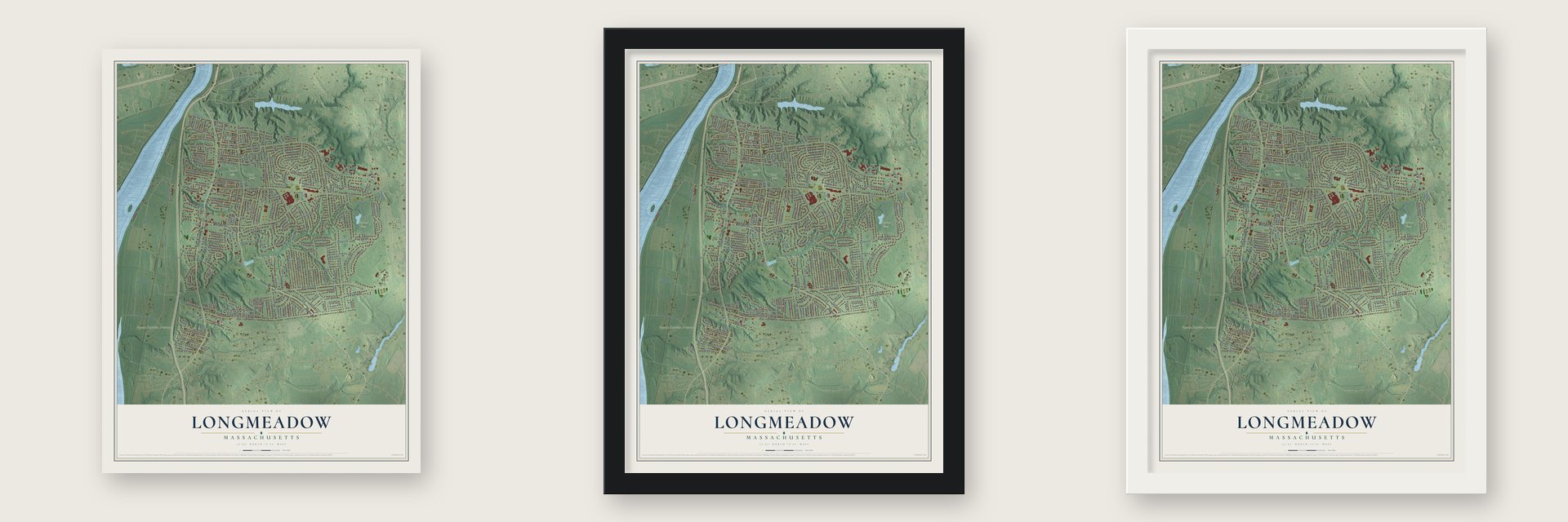
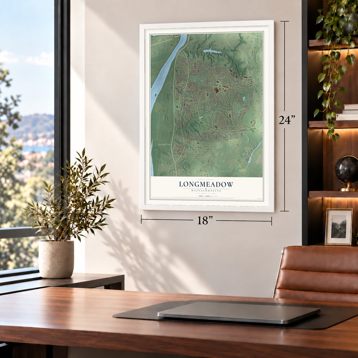
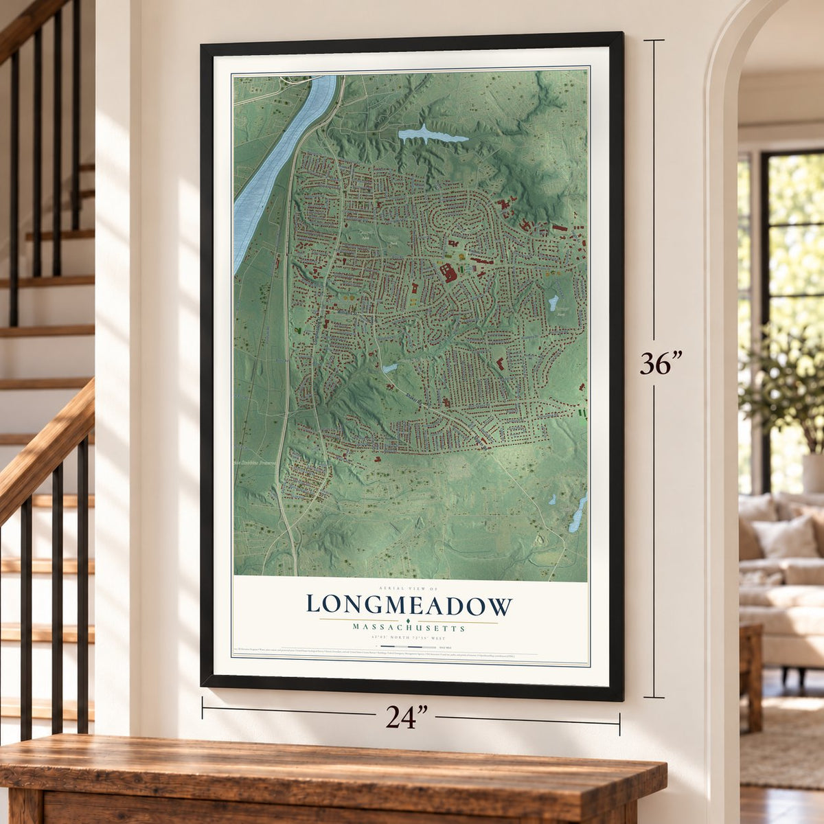
Unframed archival matte, a black wood frame or a white wood frame.
Up close
Geography Worth Displaying
This map was created using accurate cartographic data and authoritative geographic sources, including the U.S. Geological Survey (USGS) and FEMA. The map brings together terrain, waterways, roads, and building detail. The majority of the streets are labeled, houses are accurately depicted, and the topography is derived from government sources. Combining local data with carefully composed color and shading leads to this beautifully detailed Longmeadow artwork for your wall.
Rather than simply showing street outlines, we’ve included as many of the street names as we could reasonably fit on the map while keeping their names legible. Zoom in on the high resolution preview to see exactly what’s on the map. We truly set out to create a statement piece for anyone who loves Longmeadow. So whether it’s for you, or a gift for someone you love, we hope this map of Longmeadow brings back fond memories.
Explore the full map of Longmeadow, Massachusetts and read about the local places it shows.
Find your street
Names on the Longmeadow map
Every name below is printed on this map. Look for your street, your school, the park where you played, or the pond down the road.
Places and landmarks8
- Downtown
- Country Club Pond
- Cranberry Pond
- Fannie Stebbins Preserve
- Bliss Park
- Laurel Park
- Turner Park
- Lincoln Park
Streets and roads237
- Shaker Road
- Longmeadow Street
- Williams Street
- Laurel Street
- Park Drive
- Bark Haul Road
- Forest Glen Road
- Ardsley Road
- West Road
- West
- Pinewood Drive
- Emerson Road
- Colony Road
- Converse Street
- Maple Road
- Pondside Road
- Frank Smith Road
- Wolf Swamp Road
- Bliss Road
- Meadow Road
- Blueberry Hill Road
- Inverness Lane
- Green Hill Road
- Anthony Road
- Anthony Way
- Birnie Road
- Academy Drive
- Merriweather Drive
- Hopkins Place
- Captain Road
Show all 237 streets
- Tanglewood Drive
- Ely Road
- Deepwoods Drive
- Concord Road
- Burbank Road
- Franklin Road
- Kenmore Drive
- Dwight Road
- Avondale Road
- Brookwood Drive
- Dunn Road
- Crestview Circle
- Lynnwood Drive
- Meadowlark Drive
- Twin Hills Drive
- Bel Air Drive
- Wimbleton Drive
- Williamsburg Drive
- Sheffield Avenue
- Greenacre Avenue
- Hazardville Road
- Birch Road
- Coventry Lane
- Longview Drive
- Redfern Drive
- Colton Place
- Yarmouth Street
- Field Road
- Knollwood Drive
- Cambridge Circle
- Nevins Avenue
- Lawrence Drive
- Westmoreland Avenue
- Primrose Drive
- Meadowbrook Road
- Quinnehtuk Road
- Edgewood Avenue
- Cooley Drive
- Prynnwood Road
- Cedar Road
- Viscount Road
- Farmington Road
- Eton Road
- Pleasantview Avenue
- Homestead Boulevard
- Turner Park Road
- Warren Terrace
- Englewood Road
- Rugby Road
- Grassy Gutter Road
- Silver Birch Road
- Green Meadow Drive
- Longfellow Drive
- Lawnwood Avenue
- Barrington Road
- Wheel Meadow Drive
- Belleclaire Avenue
- Massachusetts Avenue
- Morningside Drive
- South Avenue
- Dover Road
- Farmington Avenue
- Dunsany Drive
- King Philip Drive
- Ellington Street
- Wild Grove Lane
- Brooks Road
- Lincoln Road
- Wenonah Road
- Western Drive
- Pendleton Lane
- Woodsley Road
- Green Willow Drive
- Oakwood Drive
- Barbara Lane
- Elmwood Avenue
- Shady Side Drive
- Riverview Avenue
- Woodside Drive
- Williston Drive
- Overbrook Road
- Whitmun Road
- Wilkin Drive
- Fenwood Road
- Caravelle Drive
- Albemarle Road
- Arlington Road
- Northfield Road
- Hillcrest Avenue
- Tecumseh Drive
- York Drive
- Canterbury Lane
- Ely Way
- Ashford Road
- Woolworth Street
- Osceola Lane
- Glenbrook Lane
- Pioneer Drive
- Cherry Lane
- Ridge Road
- Wildwood Gln
- Berwick Road
- Mill Road
- Cheshire Drive
- Birchwood Avenue
- Wyndward Road
- Barclay Street
- Normandy Road
- Falmouth Road
- Leetewood Drive
- Duxbury Lane
- Hazelwood Avenue
- Brookside Drive
- Allen Road
- Briarcliff Road
- Blokland Drive
- Jonquil Lane
- Severn Street
- Cross Street
- Erskine Drive
- Churchill Drive
- Fairview Street
- Chiswick Street
- Salem Road
- Robin Road
- Drury Lane
- Hillside Terrace
- Terry Drive
- Laurel Lane
- Crest Avenue
- South Park Avenue
- Benedict Terrace
- Magnolia Circle
- Crescent Road
- Hawthorne Street
- Tedford Drive
- Greenwich Road
- Pinewood Hills
- Willow Brook Road
- Tennyson Drive
- Hilltop Road
- Cobblestone Road
- Knollwood Circle
- Oxford Road
- Windsor Place
- Fairhill Drive
- West Chestnut Street
- Clairmont Street
- Parkside Drive
- Stirling Street
- Warwick Street
- Davis Court
- Oak Road
- Burns Mdws
- Revere Road
- Shady Knoll Drive
- Plymouth Road
- Bliss Court
- Maplewood Street
- Summit Avenue
- Porter Lake Drive
- Fernleaf Avenue
- Chatham Road
- Circle Road
- Mohawk Drive
- Lees Lane
- Dennis Road
- Heather Road
- Brittany Road
- Norway Street
- Bellevue Avenue
- Durham Road
- Eunice Drive
- Sunset Lane
- Vance Street
- Ruth House
- Lorenz Street
- Villa Street
- Maple Terrace
- Essex Court
- Woodland Road
- Farmlea Road
- Prynne Ridge Road
- Willett Drive
- Wellesley Drive
- Edgemont Street
- Kingsbury Lane
- Chandler Avenue
- Edson Street
- Althea Drive
- White Oaks Drive
- Arcadia Street
- Metacomet Road
- Llewellyn Street
- Glenwood Circle
- Lake Drive
- Vanguard Lane
- Ridgeway Circle
- Hanover Lane
- Wendover Road
- East Primrose Drive
- Morgan Ridge
- Druid Circle
- Lotus Drive
- Berkeley Drive
- Carolyn Drive
- Natanis Path
Names are listed as they appear on the printed map. Zoom into the product photos to find them.
About Longmeadow, Massachusetts
Longmeadow is a town of 15,853 people in Hampden County, between the Connecticut River and East Longmeadow, just south of Springfield. About 1644, Benjamin Cooley, George Colton and John Keep started farms on the long meadow beside the river, on land that then belonged to Springfield. After a great flood in 1695, the families gave up the meadow, and in 1709 all of them resettled together on a new street up the hill, which became Longmeadow Street.
With about 40 families, Longmeadow became Springfield's Third Parish in 1713. Its first meetinghouse, 38 feet square, was finished in 1716, and Rev. Stephen Williams, ordained that October 17, served as minister for 66 years, until 1782. The meetinghouse that still stands on the green went up in 1768, and on October 17, 1783, Longmeadow was set off from Springfield as a separate town.
“The Longmeadow street divided with a broad park strip between the two drives and graced by numerous elms and flanked by excellent houses is a sight long to be remembered.”
- A night in the woodsIn 1695 an unusually high flood drove the families off the meadow. The Cooleys escaped to Springfield. In 1703 the settlers got permission to build up the hill, on a street thirty-five rods wide.
- A bell rung until it crackedA drum called Longmeadow to worship until 1744, when the parish finally bought a bell after some sixteen years of debate. It rang the Lexington alarm, and on April 21, 1775, the town's 23 minute men marched off. Until the late 1800s it tolled each villager's age at death and rang curfew at nine. When word came of the peace ending the War of 1812, people rang it so hard that it cracked and had to be recast.
- Marchant Colton's storeSamuel Colton opened Longmeadow's first store in his house about 1749, keeping all his goods in a few drawers, so neighbors called him Marchant Colton. His ships, the Speedwell and Friendship, floated over Enfield Falls at high water, were rigged at Hartford and carried hoops and staves to Havana. He refused Continental money in the Revolution, so about 1776 neighbors seized his goods by force.
- Brownstone and a new townThrough the 1800s and early 1900s Longmeadow was known for its brownstone, and Princeton University's Neo-Gothic library was built of it. The quarries lay in the busier, more industrial East Village, which split off in 1894 as East Longmeadow. The town stayed largely rural until a street railway came around 1910, and its population then tripled in 15 years.
- A mapmaker born hereBorn in Longmeadow on July 5, 1800, Joseph Hutchins Colton moved to New York in 1831 and founded a firm that ranked among the world's leading map publishers until 1890, printing railroad maps, pocket maps, wall maps and atlases from engraved steel plates. Its maps are now held by the Library of Congress.
Keep exploring Massachusetts
Longmeadow is one of 461 Massachusetts towns we've mapped. Every dot on the map is a print of its own.
The search covers every state, Massachusetts first.
Near Longmeadow
Order 2 or more town maps and save 10%. Shown in the size and finish you picked above, so they hang as a set.
- East Longmeadow 12" x 18" / Archival Matte Print $39.99
- Agawam 12" x 18" / Archival Matte Print $39.99
- Springfield 12" x 18" / Archival Matte Print $39.99


More maps nearby: West Springfield, Hampden, Wilbraham, Chicopee and Southwick.
The art of mapping a place
How This Map Was Made
Real places. Remarkable detail. Discover the layers that turn geographic data into a map of home.

The view from above
Aerial imagery reveals the character of the land: woodland, open fields, and the patterns of a place.

The shape of the land
Elevation data brings hills, valleys, and subtle changes in the landscape into view.

The details of home
Roads, waterways, and building footprints come together to make the map feel unmistakably local.

Geography becomes art
Considered color, shading, and typography bring the layers together in a map made for your wall.


Process illustrated with Mendon, Massachusetts. Aerial imagery: USDA NAIP. Terrain: USGS 3D Elevation Program. Map details and finished artwork: KNOWOL.
The Details
About This Print
Choose an archival matte print, or a black or white Ayous wood frame. The archival matte print is unframed.
Select your size and finish above to see the matching product image and price.
Materials & Craftsmanship
A contemporary map with the character of a classic atlas, printed on archival matte paper. Optional frames are made from Ayous wood.
Your printed map does not include the watermark shown in the full-map preview.
Shipping & Delivery
Free shipping within the United States. Every print is made to order in the USA.
Buying a gift? Add a note in your cart and we'll include it. We never put prices in the package.
Prints ship within 2 to 3 business days. Allow 7 to 10 days total from ordering for delivery. Timing may vary during holidays or periods of high order volume.
Read our shipping policy.
Returns and damaged prints
Each print is made to order. Change-of-mind refunds are not available after production.
If your print arrives damaged, misprinted or incorrect, contact support@knowol.com within 30 days of receiving it. Include your order number, photos and a description of the issue.
Read our full refund and replacement policy. For questions about your order, email support@knowol.com.