
Search for another town


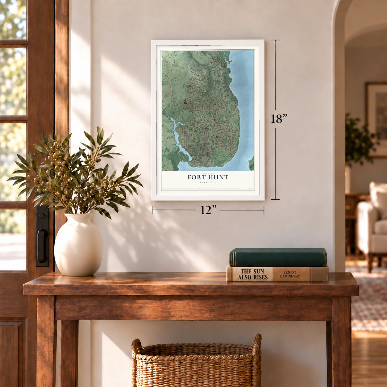

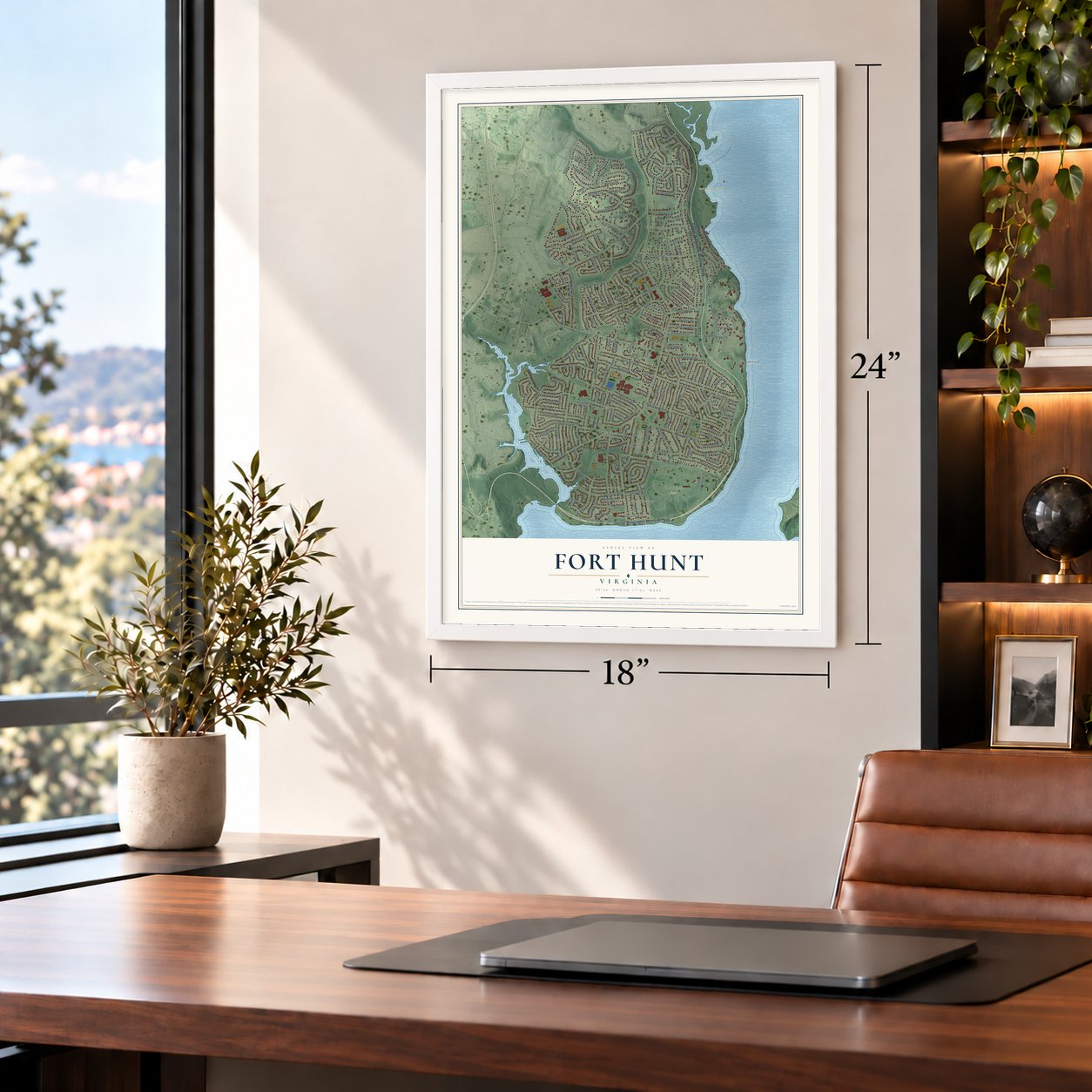
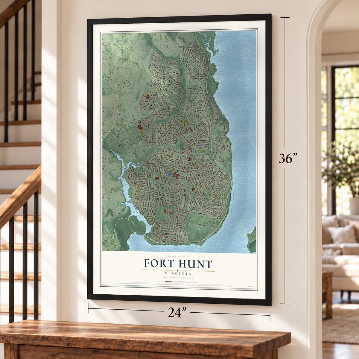
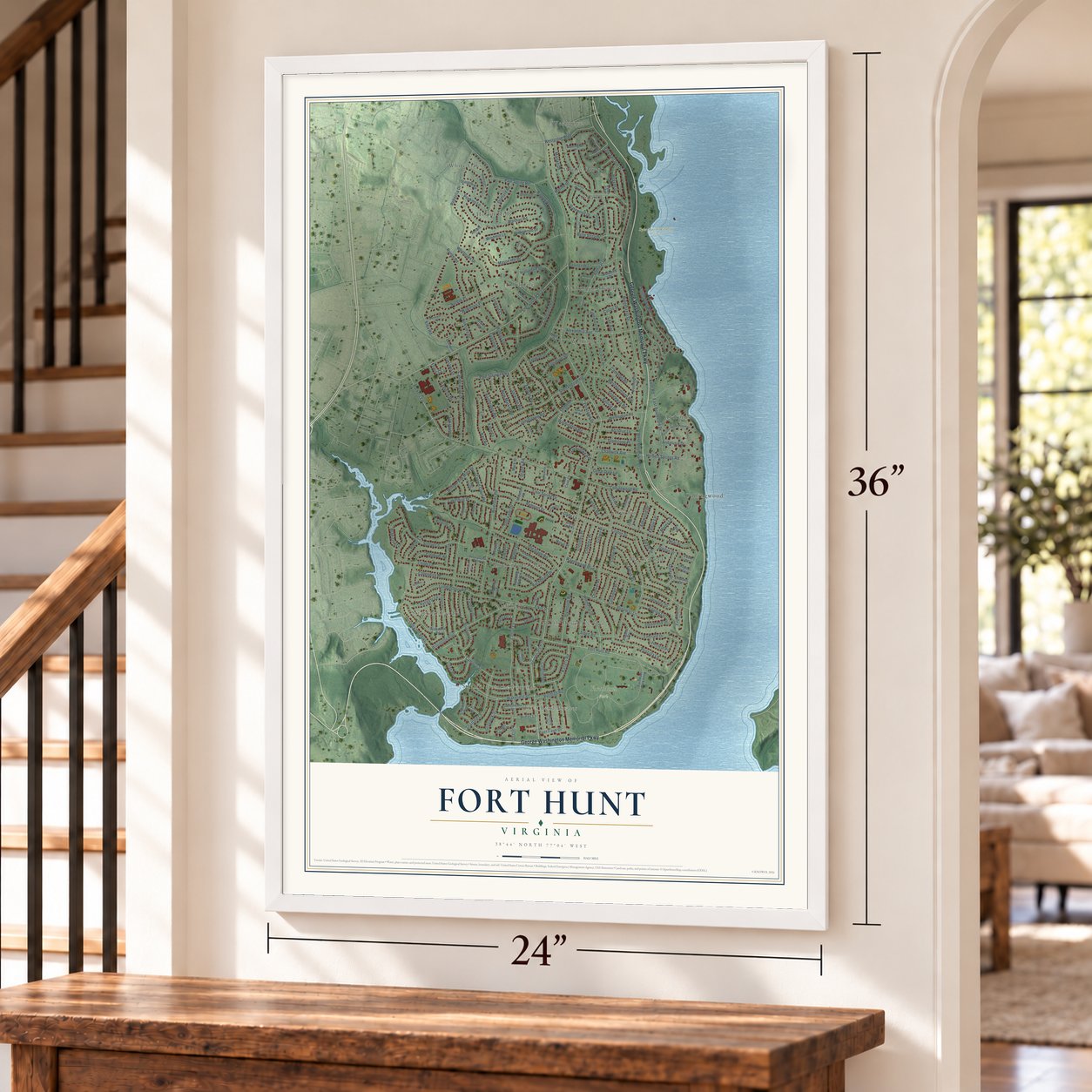
Free U.S. delivery 7 to 10 days after you order
Fort Hunt, Virginia Map Art
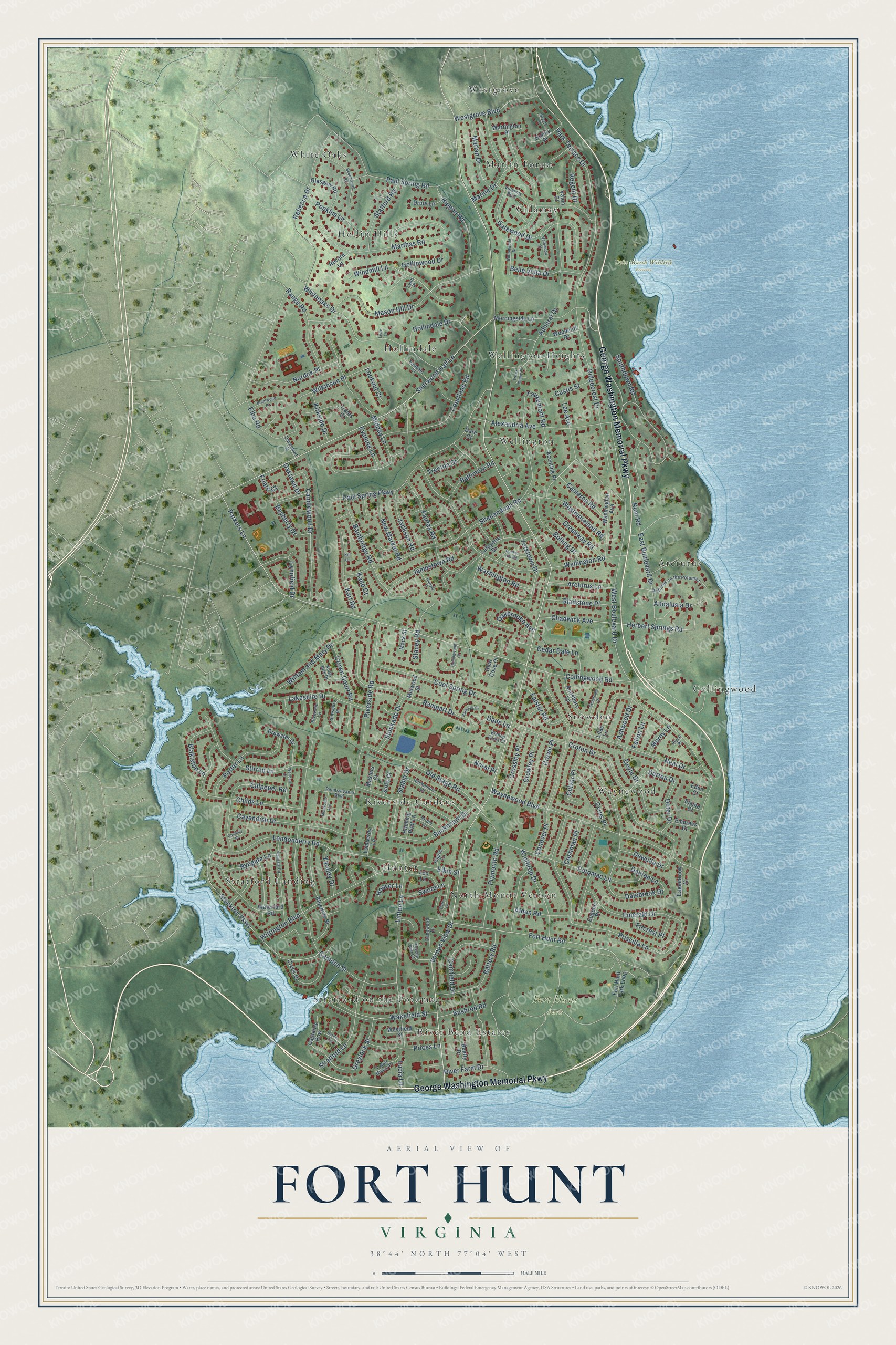
A new map of Fort Hunt, Virginia, made in 2026 and printed to order on thick archival matte paper.
12" x 18" Archival Matte Print
A Map of Home. A Work of Art.
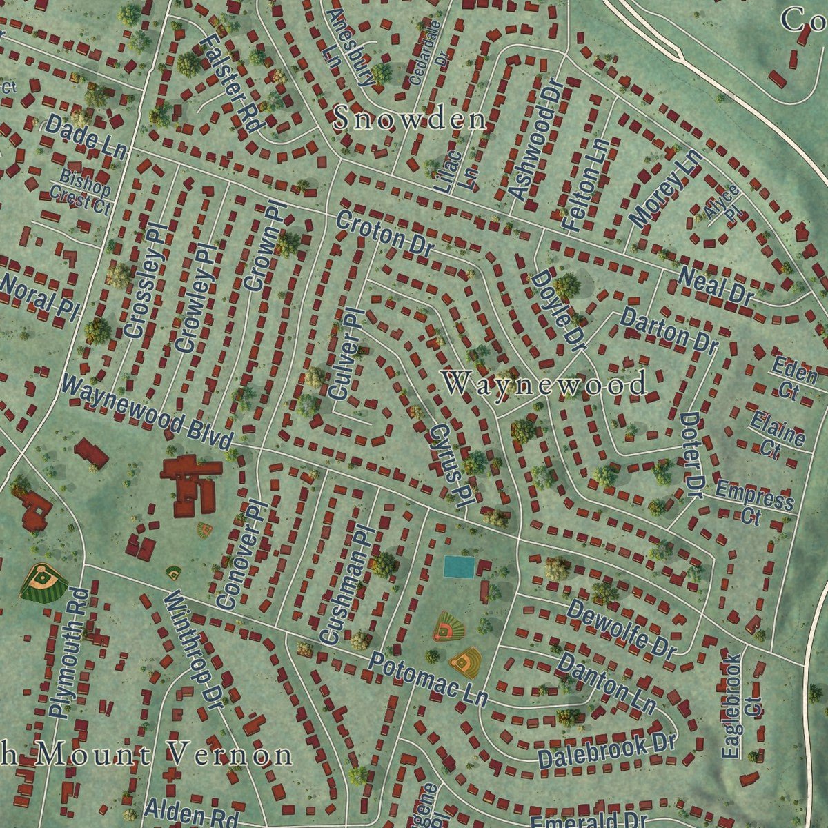
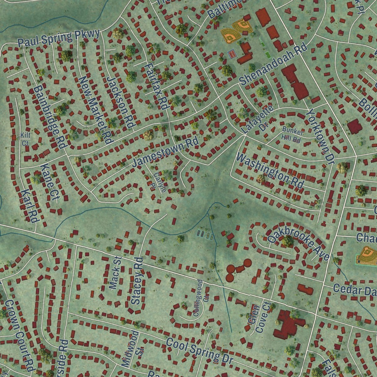
Explore Fort Hunt, Virginia from a whole new perspective. Created using aerial imagery and detailed geographic data, this map captures Fort Hunt building by building, with labeled streets, familiar landmarks, and shaded topographical relief that highlights the natural contours of the landscape.
Combining modern data with the timeless character of a vintage atlas, this map is just as interesting up close as it is beautiful on the wall. Whether you grew up in Fort Hunt, spent memorable years there, or call it home today, this unique map is a great way to celebrate a place that means something to you. Zoom in on the preview to look for your street, and then order a print to put your memories on the wall.
Three ways to hang it
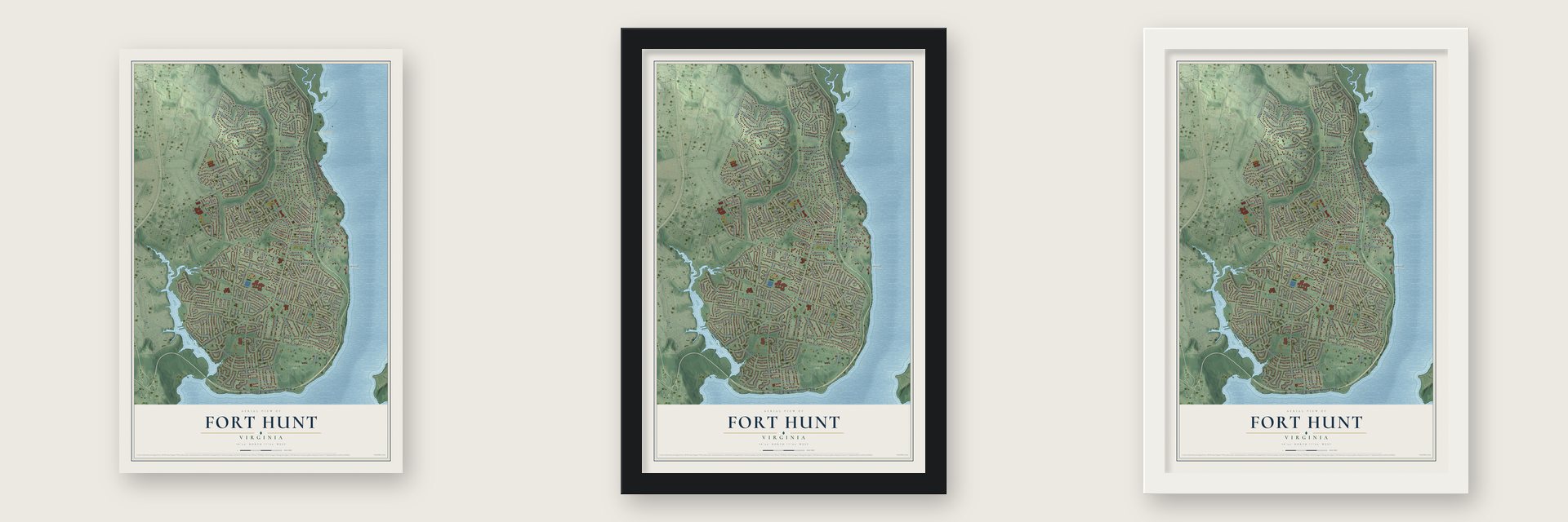
Unframed archival matte, a black wood frame or a white wood frame.
Up close
Geography Worth Displaying
This map was created using accurate cartographic data and authoritative geographic sources, including the U.S. Geological Survey and the Census Bureau. The map brings together terrain, waterways, roads, and building detail. The majority of the streets are labeled, houses are accurately depicted, and the topography is derived from government sources. Combining local data with carefully composed color and shading leads to this beautifully detailed Fort Hunt artwork for your wall.
Rather than simply showing street outlines, we’ve included as many of the street names as we could reasonably fit on the map while keeping their names legible. Zoom in on the high resolution preview to see exactly what’s on the map. We truly set out to create a statement piece for anyone who loves Fort Hunt. So whether it’s for you, or a gift for someone you love, we hope this map of Fort Hunt brings back fond memories.
Read the story behind this map of Fort Hunt, Virginia from 2026.

About Fort Hunt, Virginia
Fort Hunt is a community of 17,231 people in Fairfax County, on the Potomac River across from Maryland. Its land was once part of River Farm, a plantation owned by George Washington. In 1897 a fort went up on the riverbank to protect Washington, D.C., from attack by ships, and the area later took that fort's name.
The fort was meant to back up Fort Washington on the Maryland shore during the Spanish-American War, but it never saw a battle. During World War II and in the years after, new neighborhoods such as Waynewood and Snowden grew up around the fort, making Fort Hunt one of the first suburbs in Fairfax County. Hollin Hall shopping center opened on Fort Hunt Road as the community's main place to shop, and the old fort grounds became a public park.
- P. O. Box 1142During World War II the fort served as an interrogation center that went by the name P. O. Box 1142. Captured German officers were held there and questioned.
- The death of Werner HenkeLieutenant Commander Werner Henke, a captured German officer, was shot and killed at Fort Hunt during World War II. No German prisoner of higher rank was shot while in American hands during that war.
- Soldiers here since 1676Fort Hunt Park, now run by the National Park Service, sits on ground where military activity goes back to 1676, long before the Army fort of 1897 was built there.
Find your street
Names on the Fort Hunt map
Every name below is printed on this map. Look for your street, your school, the park where you played, or the pond down the road.
Places and landmarks20
- Dyke Marsh Wildlife Preserve
- Fort Hunt Park
- Arcturus
- Collingwood
- Hollin Hills
- Hollindale
- Hunter
- Marlin Forest
- North Mount Vernon
- River Bend Estates
- Riverside Gardens
- Snowden
Show all 20 places
- Stratford Landing
- Stratford on the Potomac
- Villamay
- Waynewood
- Wellington
- Wellington Heights
- Westgrove
- White Oaks
Streets and roads210
- George Washington Memorial Parkway
- Fort Hunt Road
- Parkers Lane
- Sherwood Hall Lane
- Vernon View Drive
- Greylock Street
- Tauxemont Road
- West Boulevard Drive
- Collingwood Road
- Camden Street
- Wellington Road
- Shenandoah Road
- Midday Lane
- Stirrup Lane
- Park Terrace Drive
- East Boulevard Drive
- Marthas Road
- Riverside Road
- Croton Drive
- Waynewood Boulevard
- Mason Hill Drive
- Paul Spring Parkway
- Priscilla Lane
- Dalebrook Drive
- Elba Road
- Neal Drive
- Rebecca Drive
- Southdown Road
- Linton Lane
- Stockton Parkway
Show all 210 streets
- Fairfax Road
- Admiral Drive
- Whiteoaks Drive
- Ridgecrest Drive
- Rampart Drive
- Wittington Boulevard
- Potomac Lane
- Childs Lane
- Alexandria Avenue
- Paul Spring Road
- Courtland Road
- Emerald Drive
- Gatewood Drive
- Cool Spring Drive
- Candlewood Drive
- Londonderry Road
- Old Stage Road
- Wakefield Street
- Lee Avenue
- Bolling Drive
- Bainbridge Road
- Conover Place
- Plymouth Road
- Cavendish Drive
- Culpeper Road
- Stratford Lane
- Elkin Street
- William and Mary Drive
- Windmill Lane
- Cyrus Place
- Yorktown Drive
- Alden Road
- Marine Drive
- Battery Road
- Porter Lane
- Lakeshire Drive
- Rippon Road
- Buckboard Drive
- Westmoreland Road
- Kent Road
- Winthrop Drive
- Nordok Place
- Arcturus Lane
- Crown Court Road
- Doyle Drive
- Hollindale Drive
- Westgrove Boulevard
- Range Road
- Bayberry Drive
- Camfield Drive
- Wilkinson Place
- Karl Road
- Chadwick Avenue
- Herbert Springs Road
- Stable Drive
- Stafford Road
- Marlan Drive
- Darton Drive
- Prices Lane
- Popkins Lane
- River Farm Drive
- Jamestown Road
- Belle Vista Drive
- Cedar Dale Lane
- New Market Road
- Crown Place
- Lynnfield Drive
- Crossley Place
- Gladstone Place
- Crowley Place
- Jackson Road
- Cameron Road
- Blakiston Lane
- Culver Place
- Greenway Road
- Dewolfe Drive
- Stacey Road
- Falster Road
- Stockade Drive
- Baltimore Road
- Fircrest Place
- Danton Lane
- Washington Road
- Ryegate Lane
- Doter Drive
- Andalusia Drive
- Kirkside Drive
- Hollinwood Drive
- Regent Drive
- Bushrod Road
- Yardley Drive
- Sword Lane
- Oakbrooke Avenue
- Ashwood Drive
- Cushman Place
- Evening Lane
- Trenton Drive
- Custis Street
- Felton Lane
- Lookout Court
- Morey Lane
- Oaklawn Drive
- Hoover Lane
- Noral Place
- Dade Lane
- Friars Court
- Lucia Lane
- Kane Court
- Fort Hunt Park Loop
- Morningside Lane
- Bluedale Street
- Lafayette Drive
- Waterford Road
- Creek Drive
- Washington Avenue
- Lilac Lane
- Beatty Drive
- Accotink Place
- Captains Row
- Brewster Drive
- Anesbury Lane
- Westfield Street
- Traies Court
- Glasgow Road
- Woodcliff Drive
- Leo Lane
- Hitching Post Lane
- Huntly Place
- Warrington Place
- Eaglebrook Court
- Drury Lane
- Empress Court
- Lombardy Lane
- Eugene Place
- Masters Court
- Sulky Court
- Recard Lane
- Glen Cove Court
- Midwood Street
- Mack Street
- Elaine Court
- Eden Court
- Valon Court
- Dare Court
- Villamay Boulevard
- Hackamore Lane
- Arcturus on the Potomac
- Danewood Drive
- Kings Arm Drive
- Tower House Place
- Pennsylvania Boulevard
- Earldale Court
- Bridle Lane
- Teresa Ann Court
- Riverton Lane
- Simsbury Place
- Davenport Street
- Pilgrim Court
- Bishop Crest Court
- Alyce Place
- Leith Place
- Burtonwood Drive
- Highgate Road
- Beechwood Road
- Cedardale Drive
- Wendell Drive
- Bunker Hill Road
- Collingwood Court
- Brentwood Place
- Harbor Terrace
- Parry Lane
- Monticello Avenue
- Carlyle Place
- Sussex Place
- Rampart Court
- Gatewood Court
- Essex Manor Place
- Duxbury Place
- Leric Lane
- Kilt Court
Names are listed as they appear on the printed map. Zoom into the product photos to find them.
The art of mapping a place
How This Map Was Made
Real places. Remarkable detail. Discover the layers that turn geographic data into a map of home.

The view from above
Aerial imagery reveals the character of the land: woodland, open fields, and the patterns of a place.

The shape of the land
Elevation data brings hills, valleys, and subtle changes in the landscape into view.

The details of home
Roads, waterways, and building footprints come together to make the map feel unmistakably local.

Geography becomes art
Considered color, shading, and typography bring the layers together in a map made for your wall.


Process illustrated with Mendon, Massachusetts. Aerial imagery: USDA NAIP. Terrain: USGS 3D Elevation Program. Map details and finished artwork: KNOWOL.
The Details
About This Print
Choose an archival matte print, or a black or white Ayous wood frame. The archival matte print is unframed.
Select your size and finish above to see the matching product image and price.
Materials & Craftsmanship
A contemporary map with the character of a classic atlas, printed on archival matte paper. Optional frames are made from Ayous wood.
Your printed map does not include the watermark shown in the full-map preview.
Shipping & Delivery
Free shipping within the United States. Every print is made to order in the USA.
Buying a gift? Add a note in your cart and we'll include it. We never put prices in the package.
Prints ship within 2 to 3 business days. Allow 7 to 10 days total from ordering for delivery. Timing may vary during holidays or periods of high order volume.
Read our shipping policy.
Returns and damaged prints
Each print is made to order. Change-of-mind refunds are not available after production.
If your print arrives damaged, misprinted or incorrect, contact support@knowol.com within 30 days of receiving it. Include your order number, photos and a description of the issue.
Read our full refund and replacement policy. For questions about your order, email support@knowol.com.
Find your town
Looking for another city?
Find a map of home in our Virginia collection, or any town in the country.
Nearby
Maps of towns near Fort Hunt
Know someone from one of these towns? Their map makes a great gift.
 Hybla Valley
, Virginia
From $39.99See the map
 Groveton
, Virginia
From $39.99See the map
 Woodlawn
, Virginia
From $39.99See the map
More maps nearby: Mount Vernon, Huntington, Hayfield, Rose Hill and Kingstowne.