
Search for another town





Free U.S. delivery 7 to 10 days after you order
Garner, North Carolina Map Art
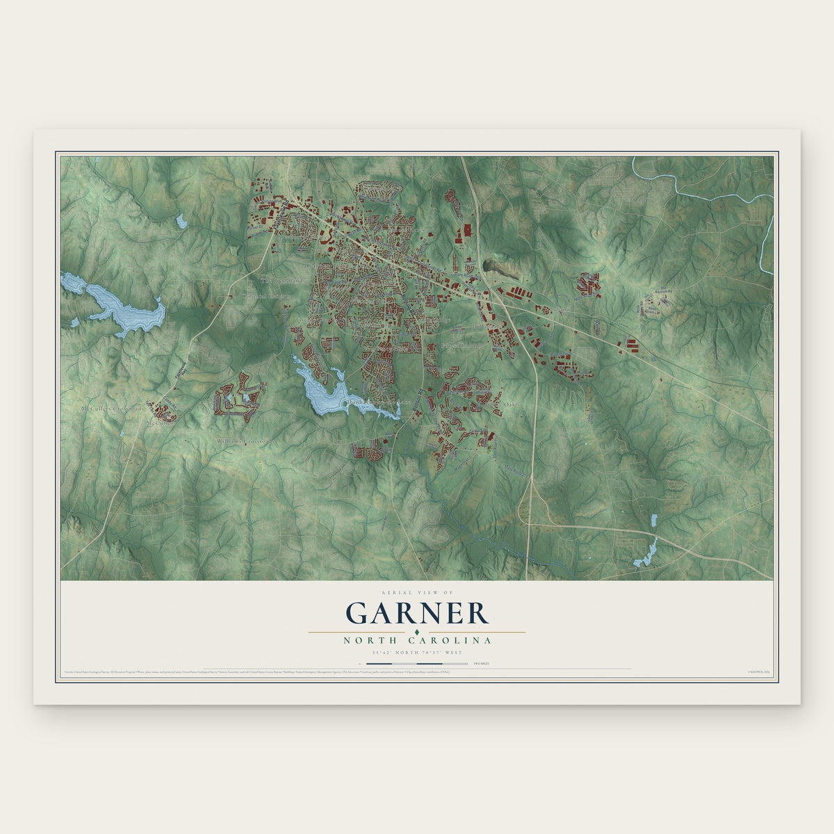
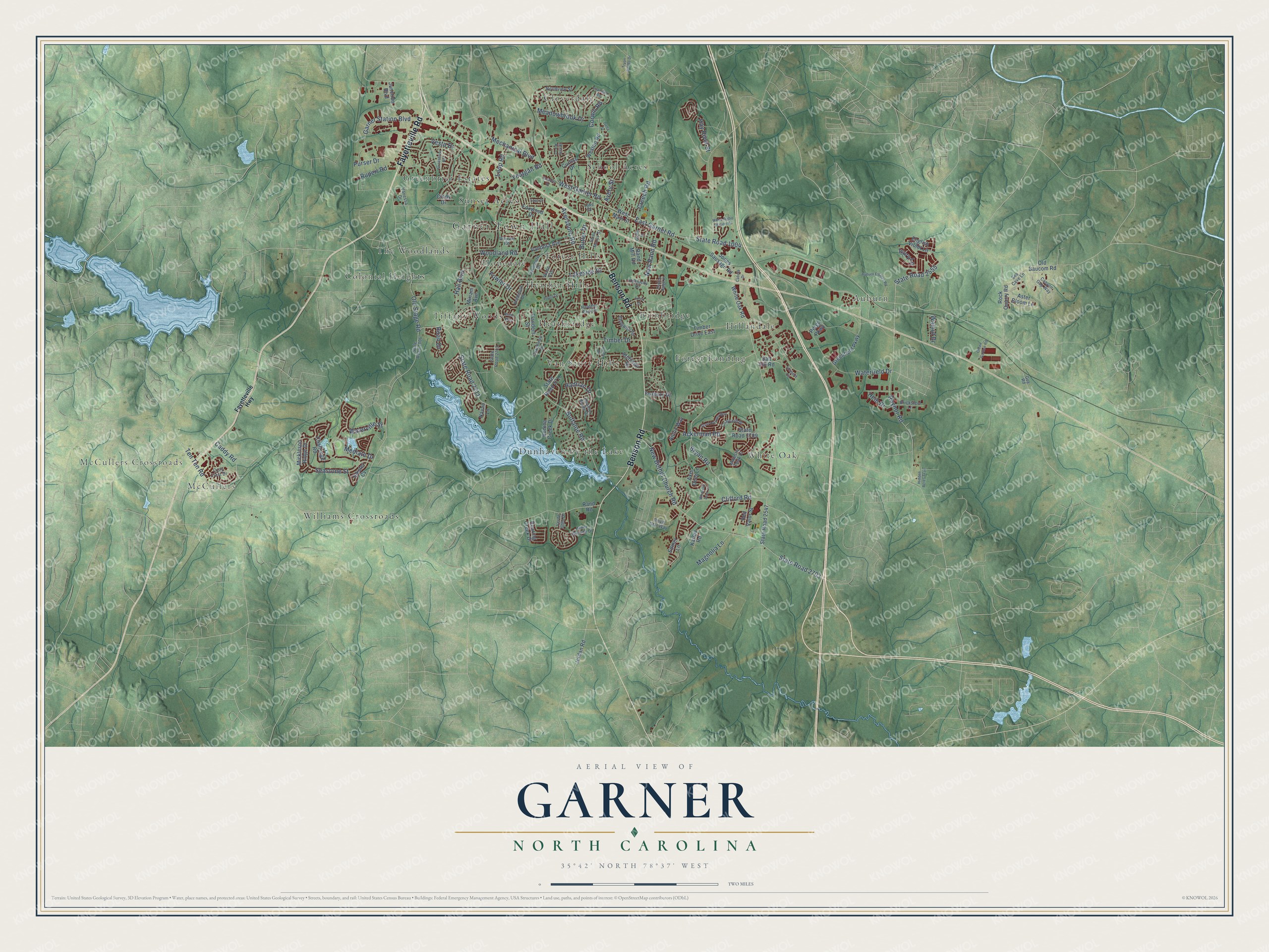
A new map of Garner, North Carolina, made in 2026 and printed to order on thick archival matte paper.
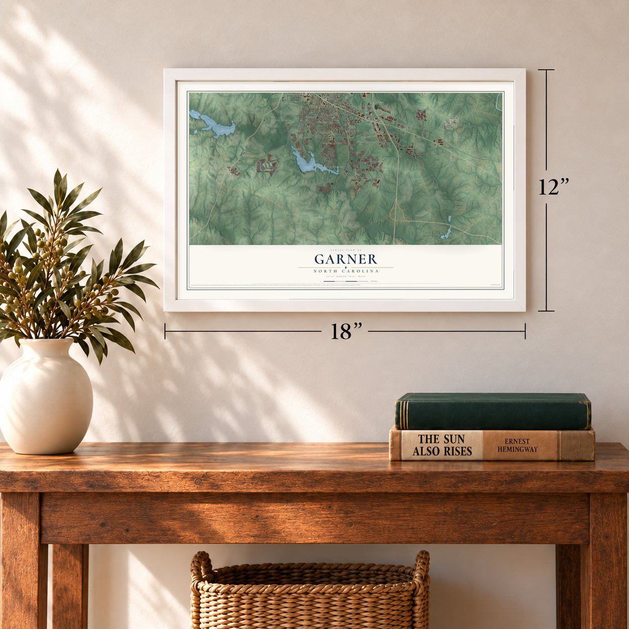
12" x 18" Archival Matte Print
A Map of Home. A Work of Art.
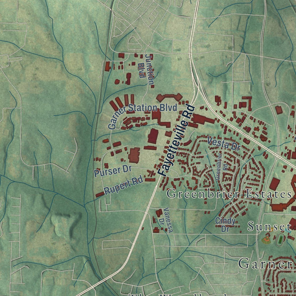
Explore Garner, North Carolina from a whole new perspective. Created using aerial imagery and detailed geographic data, this map captures Garner building by building, with labeled streets, familiar landmarks, and shaded topographical relief that highlights the natural contours of the landscape.
Combining modern data with the timeless character of a vintage atlas, this map is just as interesting up close as it is beautiful on the wall. Whether you grew up in Garner, spent memorable years there, or call it home today, this unique map is a great way to celebrate a place that means something to you. Zoom in on the preview to look for your street, and then order a print to put your memories on the wall.
Three ways to hang it
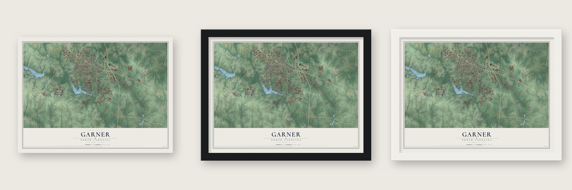
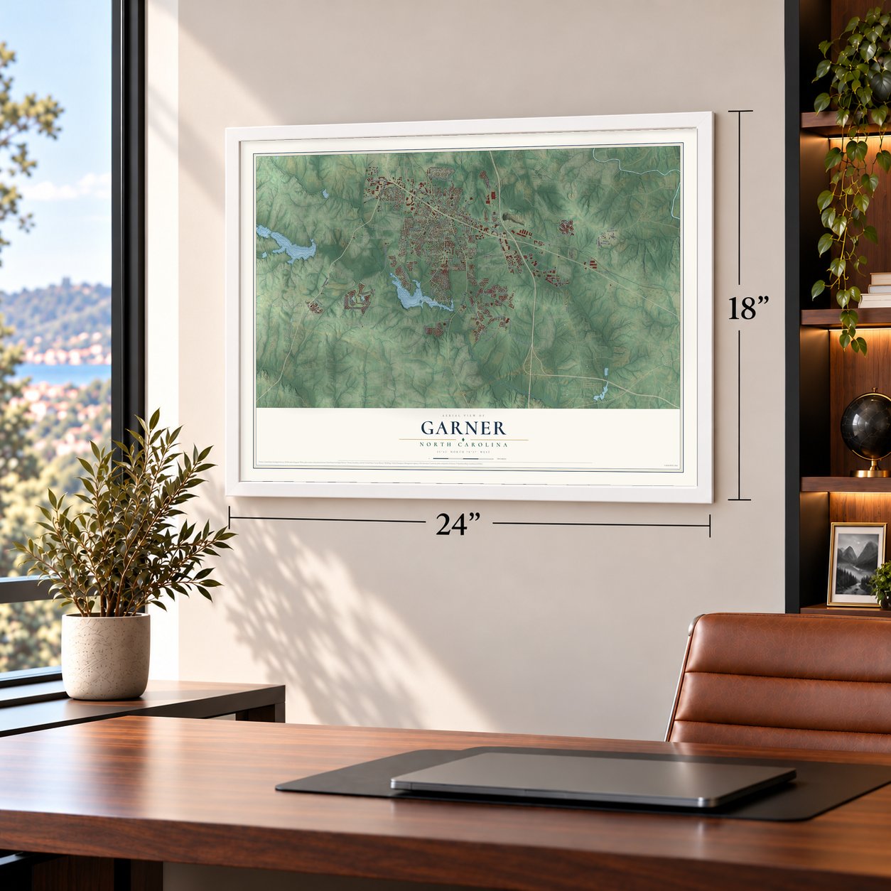
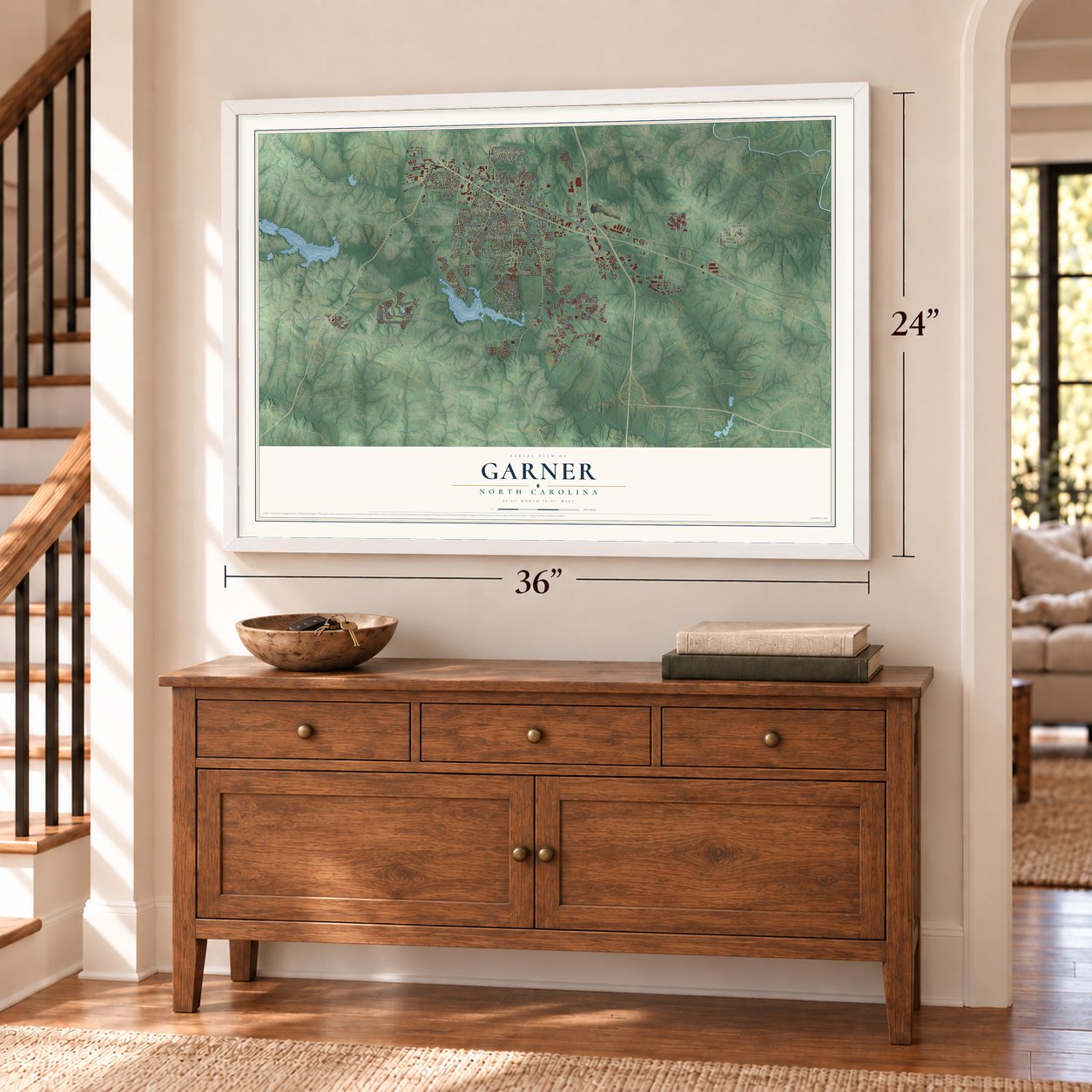
Unframed archival matte, a black wood frame or a white wood frame.
Up close
Geography Worth Displaying
This map was created using accurate cartographic data and authoritative geographic sources, including the U.S. Geological Survey and the Census Bureau. The map brings together terrain, waterways, roads, and building detail. The majority of the streets are labeled, houses are accurately depicted, and the topography is derived from government sources. Combining local data with carefully composed color and shading leads to this beautifully detailed Garner artwork for your wall.
Rather than simply showing street outlines, we’ve included as many of the street names as we could reasonably fit on the map while keeping their names legible. Zoom in on the high resolution preview to see exactly what’s on the map. We truly set out to create a statement piece for anyone who loves Garner. So whether it’s for you, or a gift for someone you love, we hope this map of Garner brings back fond memories.
Read the story behind this map of Garner, North Carolina from 2026.
About Garner, North Carolina
Garner is a town of 31,159 people in Wake County, a suburb of Raleigh. Land near the town was first settled around 1751. The North Carolina Railroad was laid through the area in the 1850s, and before the 1870s trains were stopping to take on wood and water at a spot in what is now downtown Garner. That community, Garner's Station, gained its own post office in 1878. It became an incorporated town in 1883, but its charter was repealed in 1891.
The charter came back in 1905, this time as the Town of Garner. J.B. Richardson served as the first mayor. The telephone reached Garner in 1912. In 1917 US 70, which runs past the town, became North Carolina's first paved highway.
- The Governor Morehead SchoolThe Governor Morehead School, run by the state, began on a campus in Garner for blind white students and for blind and deaf Black students. White blind students moved to Raleigh in 1923. In 1929 the Assembly provided more money to relocate the campus serving African American blind and deaf students to a site on Garner Road. Under a 1960s desegregation plan, deaf students went to the state's two schools for the deaf, and blind students went to Raleigh.
- A library begun in 1928Garner's library service started in 1928, when the Garner's Women's Club set up a library and kept it running with volunteers. That work now continues at the Southeast Regional Library, which Wake County Public Libraries operates.
Find your street
Names on the Garner map
Every name below is printed on this map. Look for your street, your school, the park where you played, or the pond down the road.
Places and landmarks22
- Garner Town Hall
- McCullers Crossroads
- McCullers
- Auburn
- Bainbridge
- Cloverdale
- Colonial Heights
- Dunhaven by the Lake
- Forest Hills
- Forest Landing
- Greenbrier Estates
- Heather Hills
Show all 22 places
- Heatheridge
- Hillandale
- Hopedale
- School Acres
- Sunset Acres
- The Woodlands
- Tiffany Woods
- Van Story Hills
- White Oak
- Williams Crossroads
Streets and roads132
- Benson Road
- Fayetteville Road
- Timber Drive
- State Road 2711
- State Road 1004
- New Bethel Church Road
- State Road 2703
- Aversboro Road
- Buffaloe Road
- West Garner Road
- State Road 2555
- East Garner Road
- Old Stage Road
- Mechanical Boulevard
- New Rand Road
- Lakeside Drive
- Seastone Street
- Raynor Road
- Vesta Drive
- Ackerman Road
- Garner Station Boulevard
- Creech Road
- Rupert Road
- Hay River Street
- Waterville Street
- Bryan Road
- Clifford Road
- Meadowbrook Drive
- Woodland Road
- Hadrian Drive
Show all 132 streets
- Avery Street
- Waterfield Drive
- Ten Ten Road
- Yeargan Road
- Caddy Road
- Purser Drive
- Hall Boulevard
- Mediate Drive
- Magnolia Lane
- Loop Road
- Fowler Drive
- Walnut Drive
- Corwin Road
- Hein Drive
- Roan Drive
- Butler Drive
- Ivory Lane
- State Road 2710
- State Road 2547
- Jones Sausage Road
- Timber Drive East
- White Oak Road
- Weston Road
- State Road 2709
- Curtiss Drive
- Atchison Street
- Vandora Avenue
- Rand Mill Road
- Flanders Street
- Roaring Creek Drive
- Pergo Parkway
- Axis Deer Lane
- Greenfield Parkway
- West Main Street
- Junction Boulevard
- Challenge Road
- Rand Road
- Rock Quarry Road
- Foxwood Drive
- Bonica Creek Drive
- Old Baucom Road
- Anton Way
- Red Valor Street
- Aster Bloom Lane
- English Violet Lane
- Inkster Cv
- Foxbury Drive
- Mickleson Ridge Drive
- Jordan Road
- Karlov Road
- Salt Hill Road
- Miriam Avenue
- Navan Lane
- Cindy Drive
- Edmer Lane
- Fayetteville Highway
- State Road 1006
- Arbor Greene Drive
- Coalyard Drive
- Sycamore Drive
- Wade Avenue
- Majestic Peak Drive
- Northview Street
- Saint Marys Street
- Kenbrook Drive
- State Road 2712
- Sea Cave Lane
- Heather Park Drive
- Bricksteel Lane
- Chapwith Road
- Kentucky Drive
- Canyon Gap Way
- Heather Bluffs Drive
- Coachman Drive
- Cozy Crest Drive
- Royal Star Way
- Vanessa Drive
- Guy Road
- Verde Glen Drive
- Wiljohn Road
- Lake Drive
- Greenbrier Road
- Cranston Road
- Auburn Estates Road
- Poole Drive
- Steel Hopper Way
- Element Circle
- Cabela Drive
- Whitetail Deer Lane
- Foley Drive
- Green Garden Road
- Bobbitt Drive
- Tryon Pointe Drive
- Brims Way
- Wkbq Radio Station Road
- Hidden Acres Trail
- Oakton Ridge Place
- Griffin Street
- Harth Drive
- Delta Street
- Grassy Rio Lane
- Faye Drive
Names are listed as they appear on the printed map. Zoom into the product photos to find them.
The art of mapping a place
How This Map Was Made
Real places. Remarkable detail. Discover the layers that turn geographic data into a map of home.

The view from above
Aerial imagery reveals the character of the land: woodland, open fields, and the patterns of a place.

The shape of the land
Elevation data brings hills, valleys, and subtle changes in the landscape into view.

The details of home
Roads, waterways, and building footprints come together to make the map feel unmistakably local.

Geography becomes art
Considered color, shading, and typography bring the layers together in a map made for your wall.


Process illustrated with Mendon, Massachusetts. Aerial imagery: USDA NAIP. Terrain: USGS 3D Elevation Program. Map details and finished artwork: KNOWOL.
The Details
About This Print
Choose an archival matte print, or a black or white Ayous wood frame. The archival matte print is unframed.
Select your size and finish above to see the matching product image and price.
Materials & Craftsmanship
A contemporary map with the character of a classic atlas, printed on archival matte paper. Optional frames are made from Ayous wood.
Your printed map does not include the watermark shown in the full-map preview.
Shipping & Delivery
Free shipping within the United States. Every print is made to order in the USA.
Buying a gift? Add a note in your cart and we'll include it. We never put prices in the package.
Prints ship within 2 to 3 business days. Allow 7 to 10 days total from ordering for delivery. Timing may vary during holidays or periods of high order volume.
Read our shipping policy.
Returns and damaged prints
Each print is made to order. Change-of-mind refunds are not available after production.
If your print arrives damaged, misprinted or incorrect, contact support@knowol.com within 30 days of receiving it. Include your order number, photos and a description of the issue.
Read our full refund and replacement policy. For questions about your order, email support@knowol.com.
Find your town
Looking for another city?
Find a map of home in our North Carolina collection, or any town in the country.
Nearby
Maps of towns near Garner
Know someone from one of these towns? Their map makes a great gift.
 Knightdale
, North Carolina
From $39.99See the map
 Clayton
, North Carolina
From $39.99See the map
 Raleigh
, North Carolina
From $39.99See the map
More maps nearby: Fuquay-Varina, Holly Springs, Cary, Archer Lodge and Angier.