
Search for another town





Free U.S. delivery 7 to 10 days after you order
Ponus, Connecticut Map Art
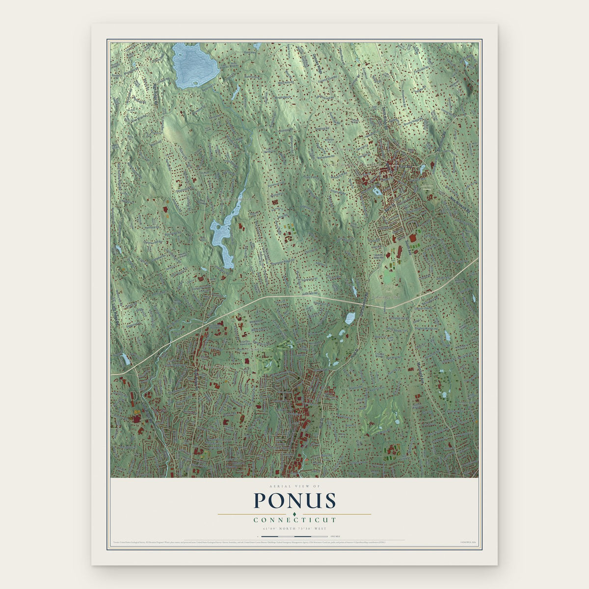
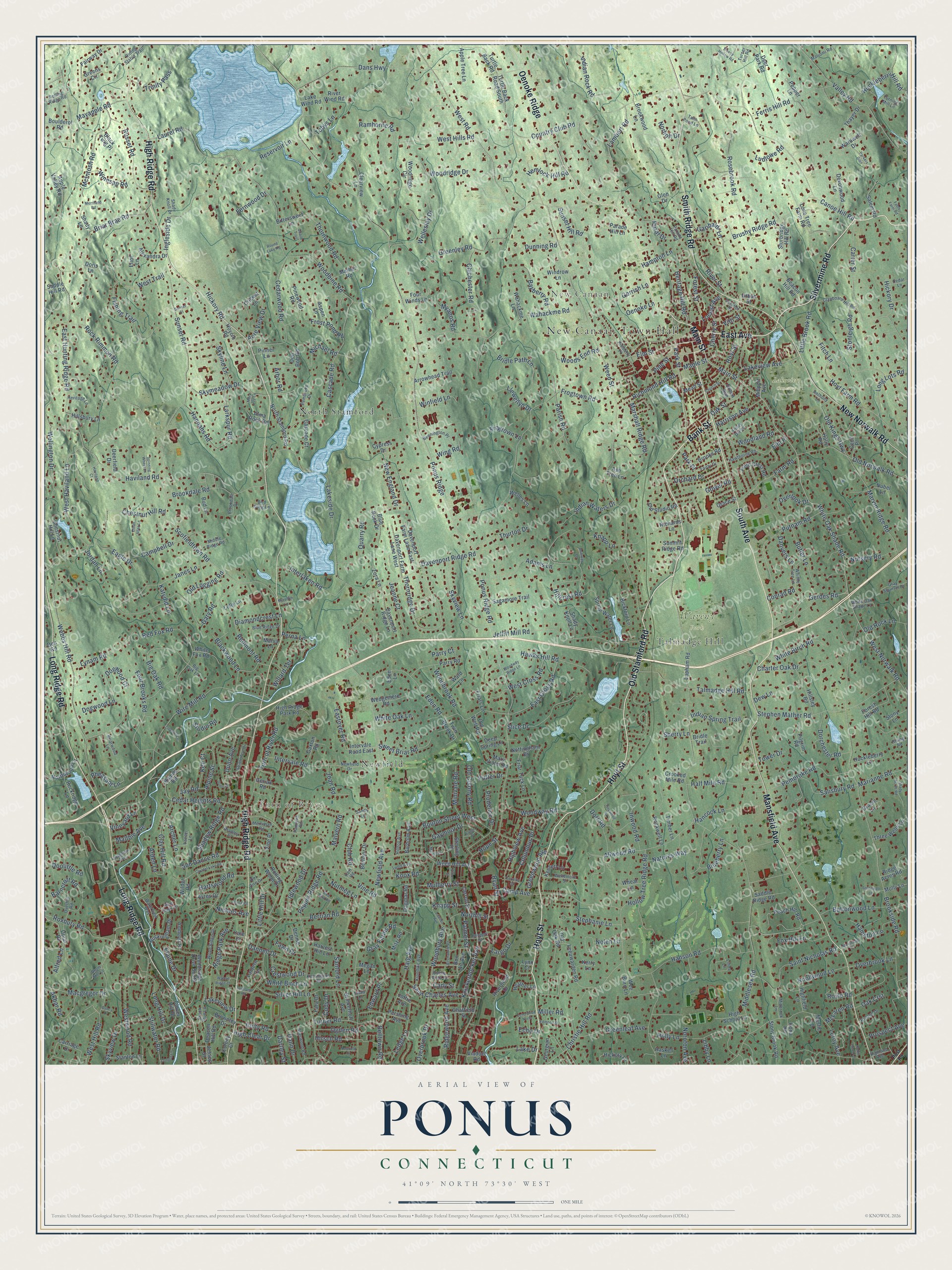
A new map of Ponus, Connecticut, made in 2026 and printed to order on thick archival matte paper.
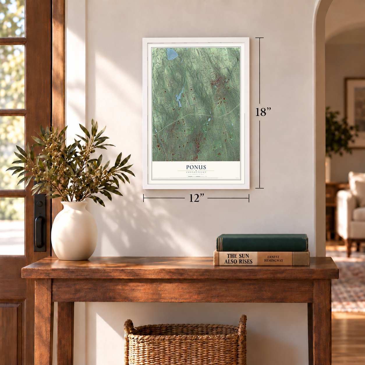
12" x 18" Archival Matte Print
A Map of Home. A Work of Art.
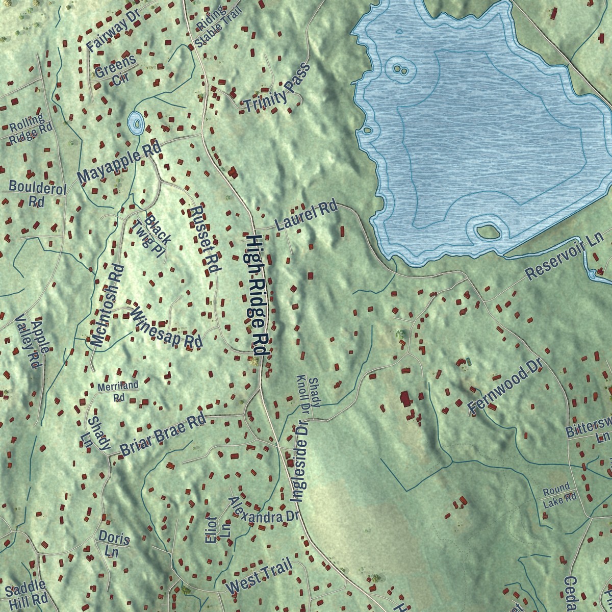
Explore Ponus, Connecticut from a whole new perspective. Created using aerial imagery and detailed geographic data, this map captures Ponus building by building, with labeled streets, familiar landmarks, and shaded topographical relief that highlights the natural contours of the landscape.
Combining modern data with the timeless character of a vintage atlas, this map is just as interesting up close as it is beautiful on the wall. Whether you grew up in Ponus, spent memorable years there, or call it home today, this unique map is a great way to celebrate a place that means something to you. Zoom in on the preview to look for your street, and then order a print to put your memories on the wall.
Three ways to hang it
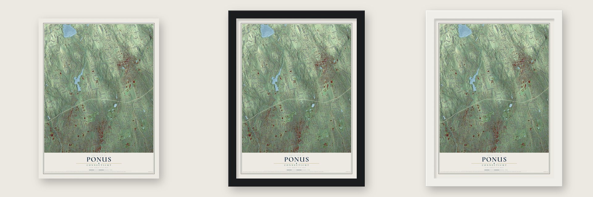
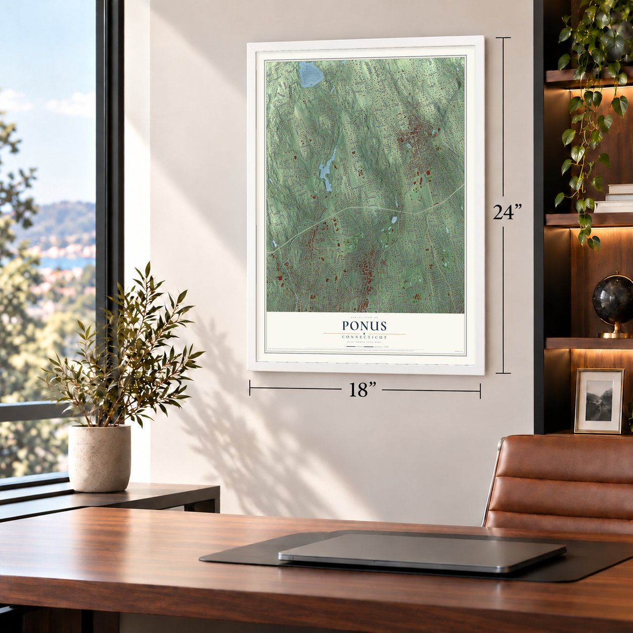
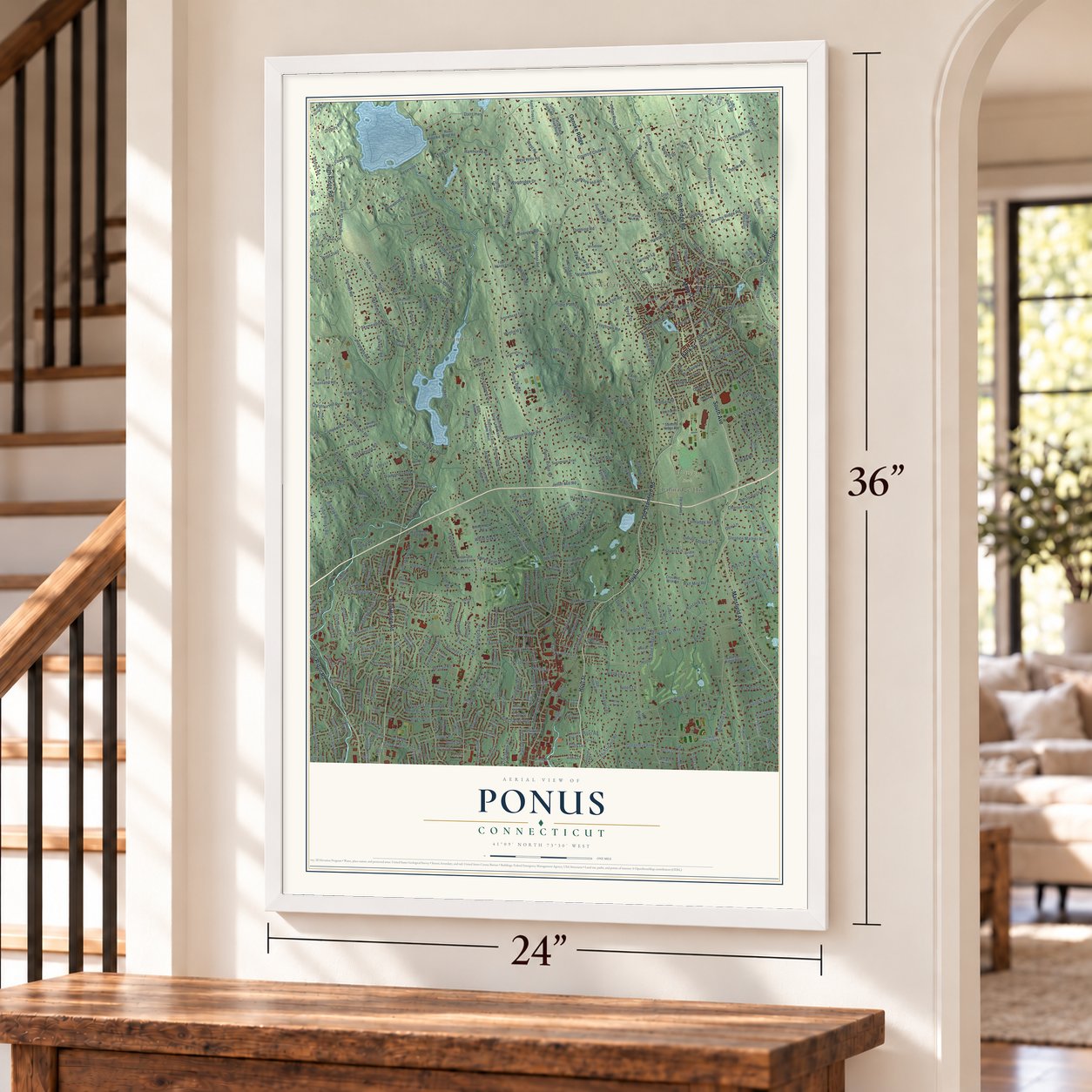
Unframed archival matte, a black wood frame or a white wood frame.
Up close
Geography Worth Displaying
This map was created using accurate cartographic data and authoritative geographic sources, including the U.S. Geological Survey and the Census Bureau. The map brings together terrain, waterways, roads, and building detail. The majority of the streets are labeled, houses are accurately depicted, and the topography is derived from government sources. Combining local data with carefully composed color and shading leads to this beautifully detailed Ponus artwork for your wall.
Rather than simply showing street outlines, we’ve included as many of the street names as we could reasonably fit on the map while keeping their names legible. Zoom in on the high resolution preview to see exactly what’s on the map. We truly set out to create a statement piece for anyone who loves Ponus. So whether it’s for you, or a gift for someone you love, we hope this map of Ponus brings back fond memories.
Read the story behind this map: Detailed Map of Ponus, Connecticut.

Find your street
Names on the Ponus map
Every name below is printed on this map. Look for your street, your school, the park where you played, or the pond down the road.
Places and landmarks8
- New Canaan Town Hall
- Turn of River
- New Canaan
- Lakeview Cemetery
- Waveny Park
- North Stamford
- Newfield
- Talmadge Hill
Streets and roads563
- Hoyt Street
- South Avenue
- Old Stamford Road
- Silvermine Road
- Main Street
- Long Ridge Road
- High Ridge Road
- Mansfield Avenue
- Oenoke Ridge
- New Norwalk Road
- Smith Ridge Road
- East Avenue
- Bank Street
- White Oak Shade Road
- Park Street
- Talmadge Hill Road
- Gerdes Road
- River Street
- Cherry Street
- Brushy Ridge Road
- Country Club Road
- Haviland Road
- Lambert Road
- Locust Avenue
- Ponus Ridge
- Ponus Ridge Road
- Newfield Avenue
- Hollow Tree Ridge Road
- Weed Street
- Hope Street
Show all 563 streets
- Brookside Road
- Scofieldtown Road
- West Road
- Middlesex Road
- Frogtown Road
- Rock Rimmon Road
- Canoe Hill Road
- Wire Mill Road
- Webbs Hill Road
- Briar Brae Road
- Cascade Road
- Pepper Ridge Road
- Lakeside Drive
- Woodbine Road
- Laurel Road
- Hoyt Farm Road
- Wahackme Road
- Eden Road
- Greenley Road
- Vine Road
- Carter Street
- Camp Avenue
- Chestnut Hill Road
- Valley Road
- Janes Lane
- Jelliff Mill Road
- Stephen Mather Road
- Dogwood Lane
- Haig Avenue
- Leroy Avenue
- Thornridge Drive
- Farm Road
- Dans Highway
- Rosebrook Road
- Sunset Road
- Woodridge Drive
- Christie Hill Road
- Ingleside Drive
- West Hill Road
- Club Road
- Marvin Ridge Road
- Mayapple Road
- Red Fox Road
- Cedarwood Road
- Roxbury Road
- Old Norwalk Road
- West Hills Road
- West Haviland Lane
- Davenport Ridge Road
- Holly Lane
- Cedar Heights Road
- Bouton Street West
- East Hunting Ridge Road
- Quarry Road
- Hanson Road
- Four Brooks Road
- Russet Road
- Woods End Road
- Brookdale Road
- Stillwater Road
- Barncroft Road
- Turn of River Road
- Putnam Road
- Westwood Road
- Bridle Path Lane
- Elm Street
- Knickerbocker Avenue
- Indian Rock Road
- Hawks Hill Road
- Sunset Hill Road
- West Trail
- Blueberry Lane
- Pembroke Road
- Minivale Road
- Skyview Lane
- High Clear Drive
- Marshall Ridge Road
- Fishing Trail
- Chichester Road
- Thornwood Road
- Berrian Road
- Gary Road
- Dunn Avenue
- Ferris Hill Road
- Skymeadow Drive
- McIntosh Road
- Allwood Road
- Silver Hill Lane
- Big Oak Road
- Adams Lane
- Interlaken Road
- Nutmeg Lane
- Slice Drive
- Idlewood Drive
- Little Hill Drive
- Inwood Road
- Forest Street
- Charter Oak Drive
- Trinity Pass
- Hemlock Hill Road
- East Cross Road
- Winesap Road
- Highview Avenue
- Alpine Street
- Clay Hill Road
- Skyline Lane
- Half Mile Road
- Intervale Road
- Prudence Drive
- Parish Road
- Skyview Drive
- Greenleaf Avenue
- Huckleberry Hill Road
- Lynam Road
- Old Logging Road
- Heritage Hill Road
- Richmond Hill Road
- Turner Road
- Bayberry Road
- Lakeview Avenue
- Sun Dance Road
- Indian Waters Drive
- Buttonwood Lane
- Old Kings Highway
- Knox Road
- Nolen Lane
- Gaymoor Drive
- Dorchester Road
- West Norwalk Road
- Salisbury Road
- Ridge Park Avenue
- Dogwood Court
- Dannell Drive
- Larkspur Road
- Oenoke Lane
- Woodway Road
- Shadow Ridge Road
- Saint Charles Avenue
- Gray Farms Road
- Woodland Road
- Blackwood Lane
- Woodbury Avenue
- White Birch Road
- Orchard Drive
- Columbus Place
- Reservoir Lane
- Long Lots Road
- Wellington Drive
- Saint Nicholas Road
- Hillcrest Road
- Belltown Road
- Akbar Road
- Hannahs Road
- Hartswood Road
- Nichols Avenue
- New England Drive
- Sanford Lane
- Macgregor Drive
- Stonleigh Road
- Knapp Street
- Lake Drive
- Nursery Road
- Gower Road
- Butler Lane
- Hampton Lane
- Long Hill Drive
- Acre View Drive
- Thurton Drive
- Sweet Briar Road
- Edward Place
- Hamilton Lane
- Garibaldi Lane
- Campbell Drive
- Stephanie Lane
- Wellesley Drive
- Tobys Lane
- Indian Spring Trail
- Harrison Avenue
- Mulberry Street
- Elm Place
- Little Brook Road
- Woodbrook Road
- Fox Hill Lane
- Knollwood Lane
- Overbrook Drive
- Old Colony Road
- Crestwood Drive
- West Cross Road
- Eagle Drive
- Ramhorne Road
- Jeanne Court
- Ledge Lane
- Greenwood Avenue
- Redmont Road
- Llewellyn Drive
- Overbrook Lane
- Natures Way
- Ridgewood Avenue
- Diamondcrest Lane
- Oak Street
- Overlook Drive
- Ken Court
- White Birch Lane
- Eastover Road
- Old Rock Lane
- Winfield Lane
- Studio Road
- Dann Drive
- Dunning Road
- Prospect Avenue
- Michael Road
- Frost Pond Road
- Hickory Road
- Pheasant Lane
- Ogden Road
- Hirsch Road
- Conrad Road
- White Oak Lane
- Marianne Road
- Gerrish Lane
- Knapp Lane
- Hancock Lane
- Hickory Drive
- Doolittle Road
- Willard Terrace
- Fernwood Drive
- Northill Street
- Archer Lane
- Elaine Drive
- Jordan Lane
- Unity Road
- Danvers Lane
- Maltbie Avenue
- Fawn Drive
- Noroton Avenue
- Malvern Road
- Sherry Lane
- Wing Road
- Myanos Road
- Frogtown Lane
- McLaren Road
- Putter Drive
- Ludlowe Road
- Katydid Lane
- Lakeview Drive
- Parry Court
- Palmer Street
- Royle Road
- Rural Drive
- Park Place
- Vineyard Lane
- Dew Lane
- Pine Street
- Arden Lane
- Oak Crst
- Tower Drive
- Norholt Drive
- Cody Drive
- Dartley Street
- Maple Street
- Joan Road
- Perna Lane
- Alfred Lane
- Libby Lane
- Miller Road
- Arbor Road
- Jay Road
- Vitti Street
- Largo Drive
- Echo Drive
- Ryan Street
- Cady Street
- Fitch Lane
- Dorr Road
- Colony Court
- Spring Water Lane
- Lapham Road
- Leeuwarden Road
- Weed Hill Avenue
- Woodridge Circle
- Woodridge Drive South
- North Stamford Road
- Pinewood Road
- Peach Hill Road
- Turtle Back Road
- High Ridge Park Road
- Kensett Lane
- Bittersweet Lane
- Millport Avenue
- Old Studio Road
- Riverbend Drive
- Sagamore Trail
- Carriage Drive
- Field Crest Road
- Apple Tree Lane
- Rolling Wood Drive
- Fairway Drive
- Lake Wind Road
- Doral Road
- Buckingham Drive
- Forest Hill Road
- Crooked Mile Road
- Shady Lane
- Clover Hill Drive
- Davenport Farm Lane West
- Parry Road
- Brookwood Lane
- Don Bob Road
- Ridge Acres Road
- Apple Valley Road
- Lone Tree Farm Road
- Clearview Lane
- Georgian Lane
- Davenport Ridge Lane
- Davenport Farm Lane East
- Old Oak Road
- Bickford Lane
- Thayer Drive
- Stony Brook Road
- Shady Knoll Lane
- Three Wells Lane
- Mead Street
- Hoyclo Road
- Northwood Lane
- Viaduct Road
- Arrowhead Trail
- Glen Drive
- Friar Tuck Lane
- Pilgrim Road
- Pershing Avenue
- Chestnut Hill Lane
- Turtle Back Road South
- Bridle Trail
- Devonwood Lane
- Wedgemere Road
- Salem Road
- Sturbridge Hill Road
- Huckleberry Lane
- Sterling Place
- Alexandra Drive
- Twin Brook Drive
- Timber Lane
- Stanton Lane
- Rockridge Lane
- Harvest Hill Lane
- Saddle Ridge Road
- Lynn Court
- River Wind Road
- Four Winds Lane
- Beacon Hill Road
- Intervale Road East
- Blue Rock Drive
- Parade Hill Lane
- High School Lane
- Brinkerhoff Avenue
- Carroll Street
- Joffre Avenue
- Nottingham Drive
- Hillsbury Lane
- Barholm Avenue
- Wilder Road
- Deer Park Road
- Wheat Lane
- Mather Road
- Deep Spring Lane
- Rockwell Lane
- Old Well Road
- Lolly Lane
- Hickory Lane
- Gaxton Road
- Wahackme Lane
- Bertmor Drive
- Cascade Court
- Highfield Lane
- Amherst Place
- Brooks Road
- Richards Lane
- Chatfield Street
- Windrow Lane
- Dagmar Road
- Denise Drive
- Friars Lane
- Aspen Lane
- Heather Lane
- Wardwell Drive
- Cricket Lane
- Deacon Hill Road
- Bon Air Avenue
- Boulderol Road
- Black Twig Place
- Nubel Lane
- Hillsley Road
- Fara Drive
- Brownley Drive
- Mary Violet Road
- Alma Rock Road
- Welles Lane
- Rapids Road
- Green Avenue
- Lantern Circle
- Bud Lane
- Molly Lane
- Mitzi Road
- Geriak Road
- Deerfield Drive
- Cecil Place
- Stony Lane
- Urban Street
- Summit Ridge Road
- Eliot Lane
- Ward Lane
- Ayres Drive
- Megan Lane
- Jessup Street
- Greens Circle
- Grace Street
- Den Road
- Zora Lane
- Ash Tree Lane
- White Fox Road
- Cypress Drive
- Pinner Lane
- Kerry Lane
- Wee Burn Lane
- Saddle Hill Road
- Pepper Lane
- Kona Road
- Haskell Lane
- Holly Road
- Vine Place
- Eden Lane
- Gracie Lane
- Mystic Lane
- Marva Lane
- Doris Lane
- Yale Court
- Summer Street
- Parade Hill Road
- Clapboard Hill Road
- Wood Ridge Drive
- Linda Lane
- Kimberly Place
- Brook Run Lane
- Newfield Drive
- Wakemore Street
- Overhill Road
- Klondike Avenue
- Whiffle Tree Lane
- Loughran Avenue
- Blue Ridge Drive
- Hawthorne Road
- Pembroke Drive
- Bennington Place
- Turning Mill Lane
- Middle Ridge Road
- Sherwood Road
- River Oaks Drive
- Bennett Street
- Kensington Road
- Mariomi Road
- Merriman Road
- Bradley Place
- Gray Squirrel Drive
- Hilltop Avenue
- Buena Vista Street
- Lund Avenue
- White Oak Shade Lane
- Bel Aire Drive
- Riding Stable Trail
- Heritage Lane
- Lancer Lane
- Fairty Drive
- Briarwood Lane
- Sandy Lane
- Twin Pond Lane
- Kelley Green
- Brookdale Drive
- Waterview Way
- Roland Drive
- Midbrook Lane
- Rolling Ridge Road
- Pamlynn Road
- Highland Avenue
- Turner Hill Road
- Cedar Lane
- Shady Knoll Drive
- Anthony Lane
- Drum Hill Lane
- Bird Song Lane
- Rising Road
- Big Oak Lane
- Swan Lane
- Kerr Road
- Post Road
- Loveland Road
- Crystal Lake Road
- Lawton Avenue
- Shady Acres Road
- Birchwood Road
- Square Acre Drive
- London Lane
- Church Street
- Muriel Drive
- Woodway Ridge Lane
- Echo Drive North
- Sleepy Hollow Road
- Parkers Glen
- Tinywood Road
- Haviland Court
- Red Bird Road
- Fable Farm Road
- Stonewall Lane
- Spinning Wheel Lane
- Linwood Lane
- Ethan Allen Lane
- Edmond Street
- Mansfield Place
- Elmer Street
- Quails Trail
- Meredith Lane
- Driftway Lane
- Walnut Ridge Court
- Merriland Road
- Newfield Court
- Emma Road
- Robin Hood Lane
- Cerretta Street
- Round Lake Road
- Dunn Court
- Sunset Court
- Salem Place
- Dancy Drive
- Mary Joy Lane
Names are listed as they appear on the printed map. Zoom into the product photos to find them.
The art of mapping a place
How This Map Was Made
Real places. Remarkable detail. Discover the layers that turn geographic data into a map of home.

The view from above
Aerial imagery reveals the character of the land: woodland, open fields, and the patterns of a place.

The shape of the land
Elevation data brings hills, valleys, and subtle changes in the landscape into view.

The details of home
Roads, waterways, and building footprints come together to make the map feel unmistakably local.

Geography becomes art
Considered color, shading, and typography bring the layers together in a map made for your wall.


Process illustrated with Mendon, Massachusetts. Aerial imagery: USDA NAIP. Terrain: USGS 3D Elevation Program. Map details and finished artwork: KNOWOL.
The Details
About This Print
Choose an archival matte print, or a black or white Ayous wood frame. The archival matte print is unframed.
Select your size and finish above to see the matching product image and price.
Materials & Craftsmanship
A contemporary map with the character of a classic atlas, printed on archival matte paper. Optional frames are made from Ayous wood.
Your printed map does not include the watermark shown in the full-map preview.
Shipping & Delivery
Free shipping within the United States. Every print is made to order in the USA.
Buying a gift? Add a note in your cart and we'll include it. We never put prices in the package.
Prints ship within 2 to 3 business days. Allow 7 to 10 days total from ordering for delivery. Timing may vary during holidays or periods of high order volume.
Read our shipping policy.
Returns and damaged prints
Each print is made to order. Change-of-mind refunds are not available after production.
If your print arrives damaged, misprinted or incorrect, contact support@knowol.com within 30 days of receiving it. Include your order number, photos and a description of the issue.
Read our full refund and replacement policy. For questions about your order, email support@knowol.com.
Find your town
Looking for another city?
Find a map of home in our Connecticut collection, or any town in the country.
Nearby
Maps of towns near Ponus
Know someone from one of these towns? Their map makes a great gift.
 New Canaan
, Connecticut
From $39.99See the map
 Stamford
, Connecticut
From $39.99See the map
 Noroton Heights
, Connecticut
From $39.99See the map
More maps nearby: Darien Downtown, Noroton, North Mianus, Darien and Norwalk.