
Search for another town
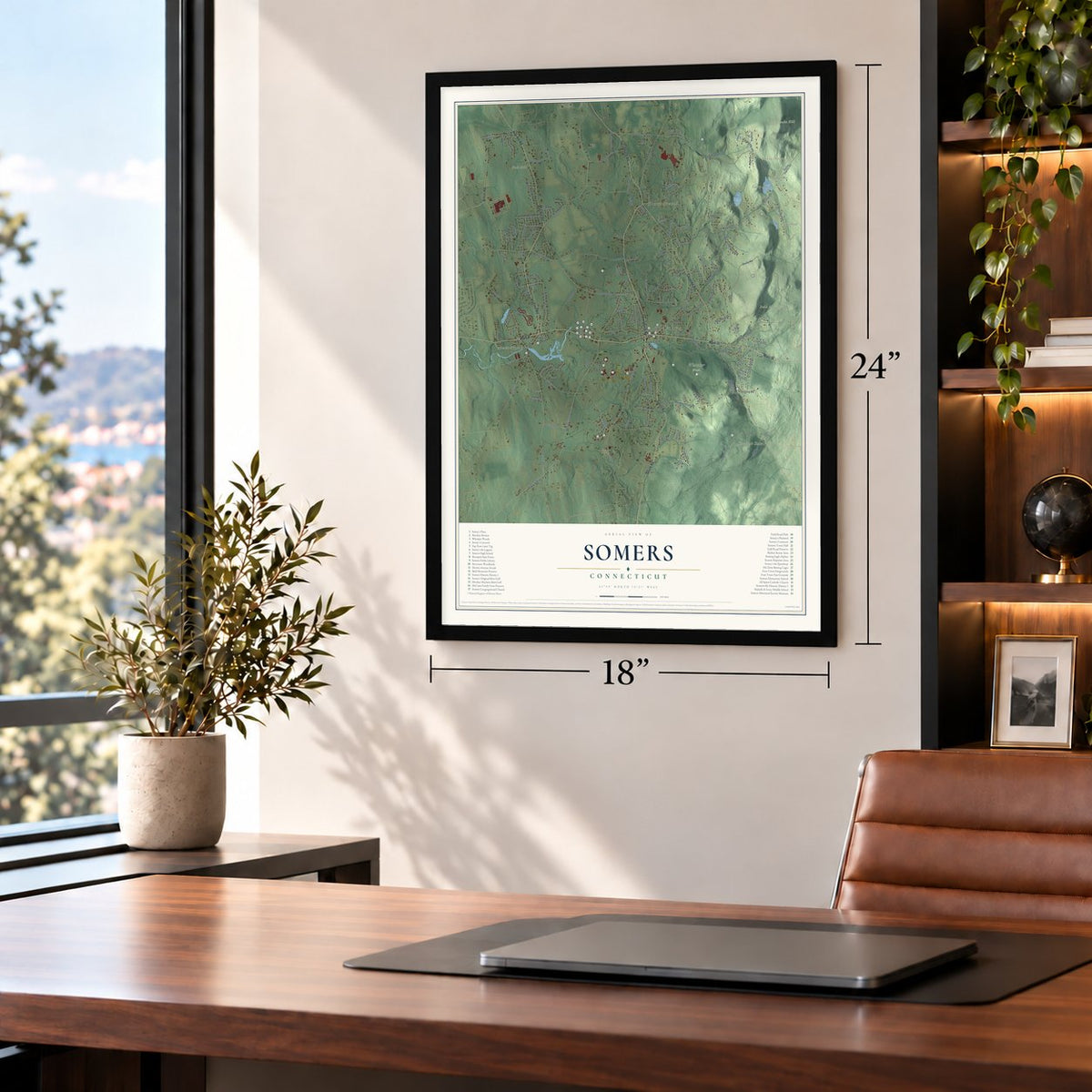
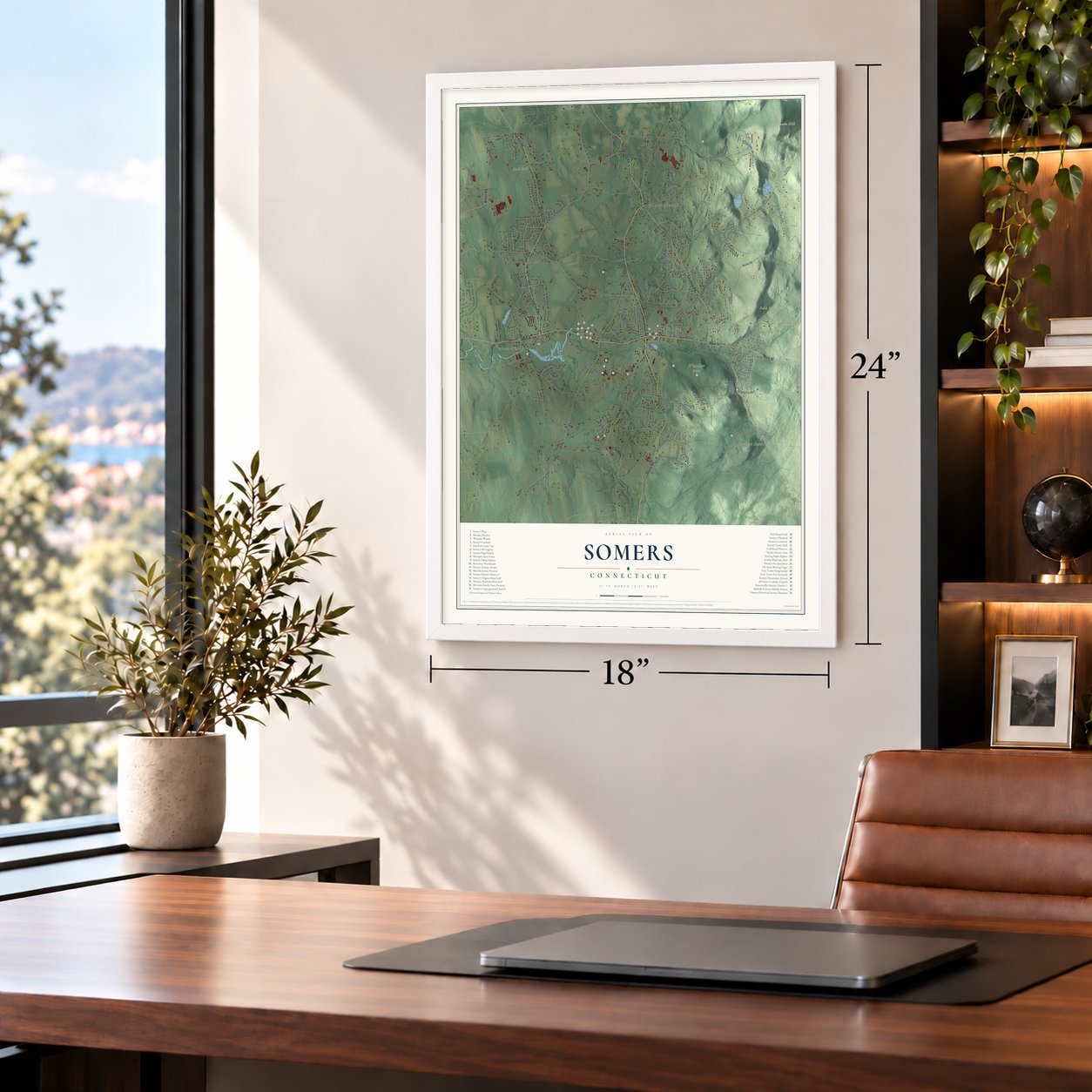
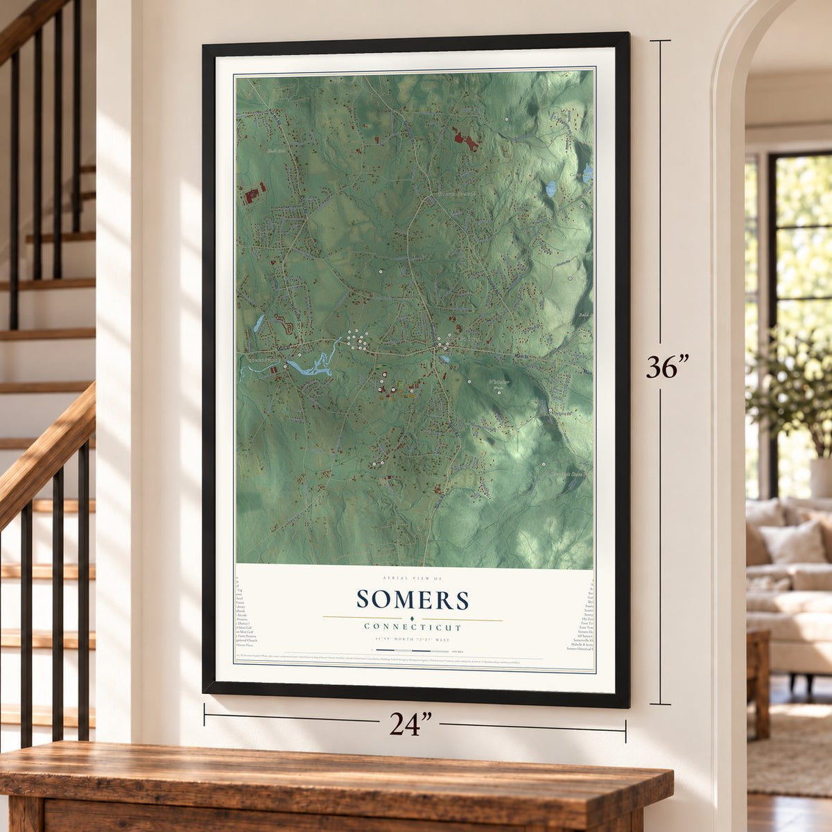
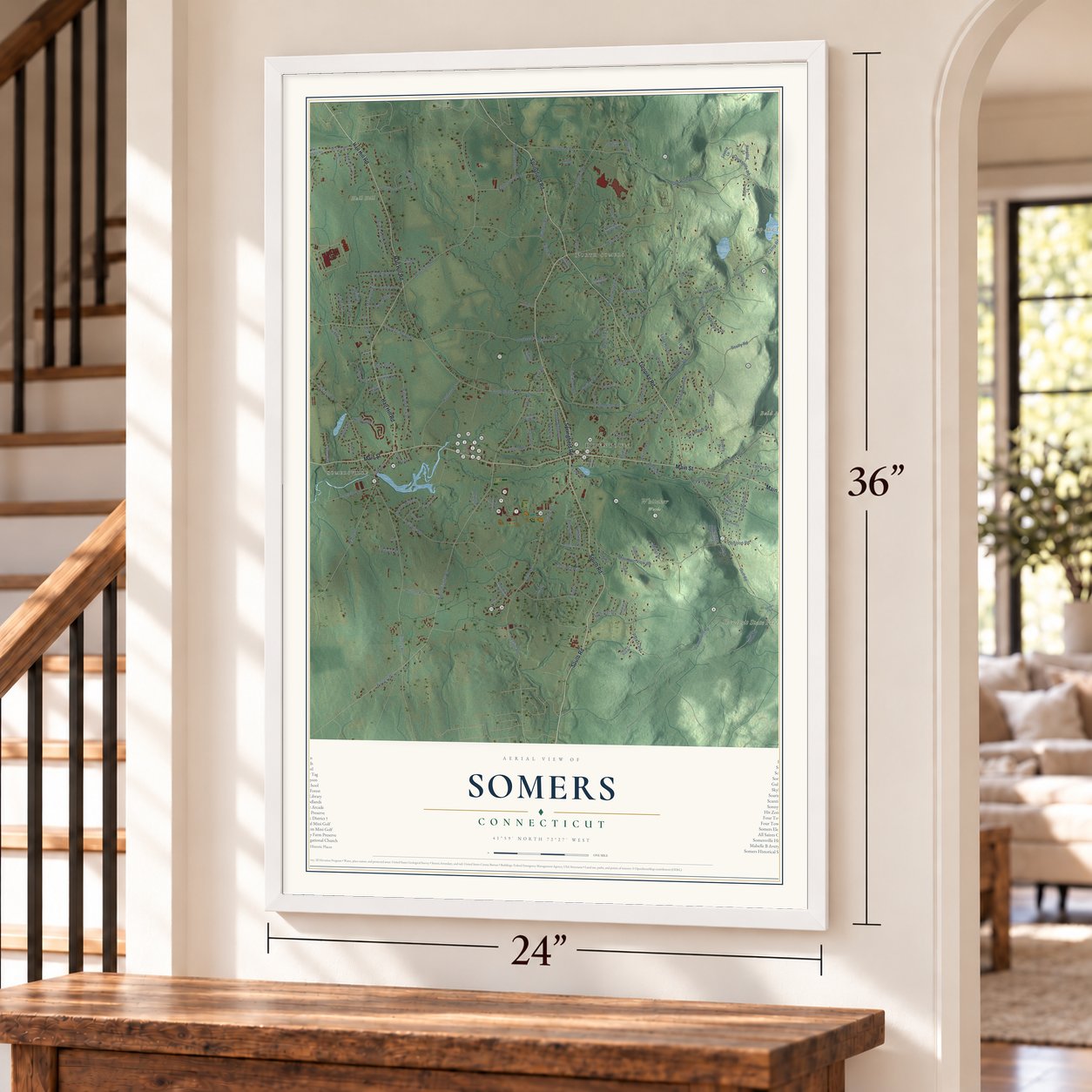
Free U.S. delivery 7 to 10 days after you order
Somers, Connecticut Map Art
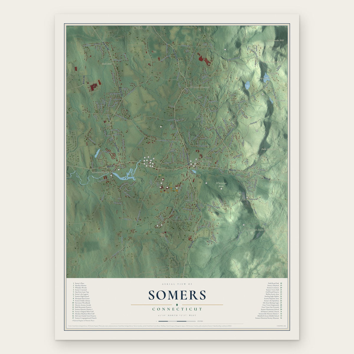
Building by building, with labeled streets and shaded relief.
12" x 18" Archival Matte Print
A Map of Home. A Work of Art.
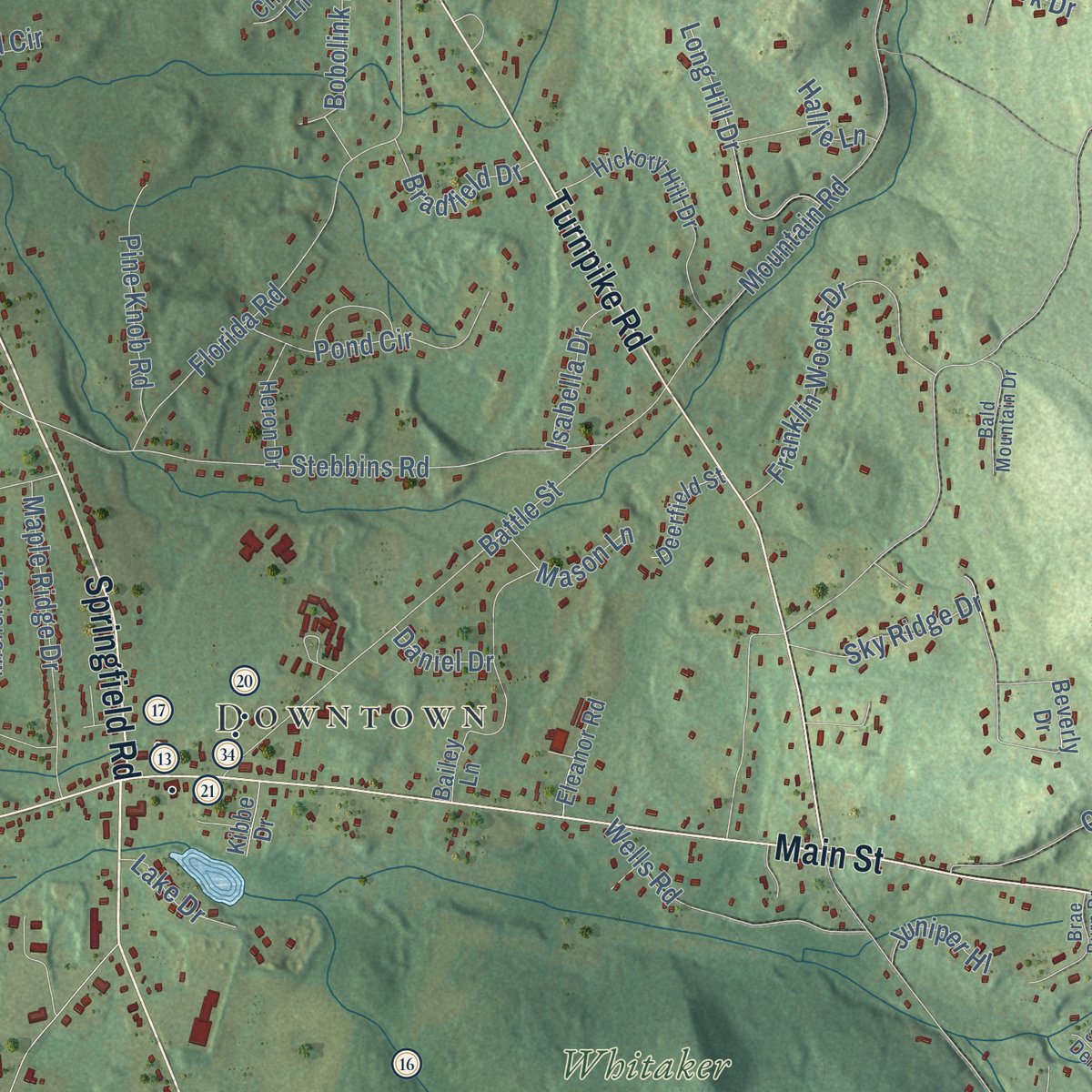
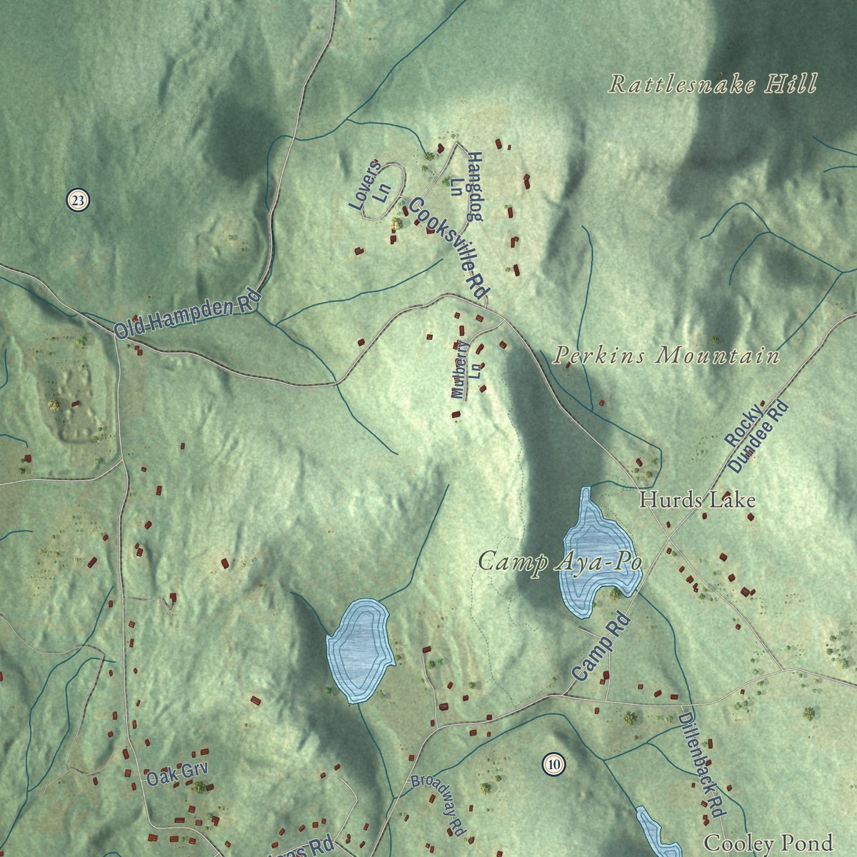
Explore Somers, Connecticut from a whole new perspective. Created using aerial imagery and detailed geographic data, this map captures Somers building by building, with labeled streets, familiar landmarks, and shaded topographical relief that highlights the natural contours of the landscape.
Combining modern data with the timeless character of a vintage atlas, this map is just as interesting up close as it is beautiful on the wall. Whether you grew up in Somers, spent memorable years there, or call it home today, this unique map is a great way to celebrate a place that means something to you. Zoom in on the preview to look for your street, and then order a print to put your memories on the wall.

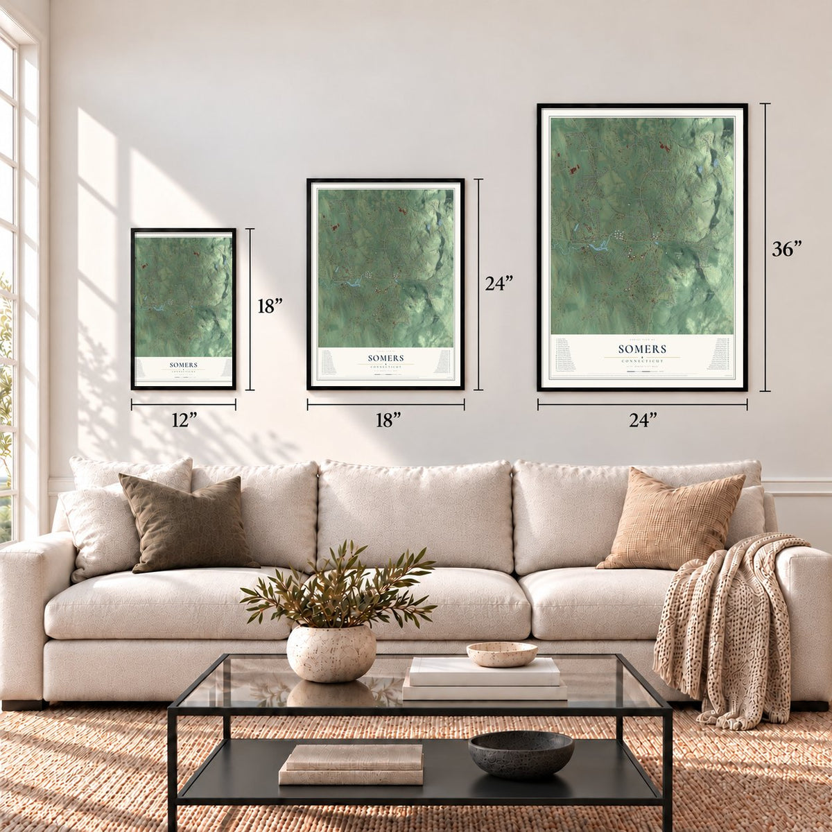
Three ways to hang it
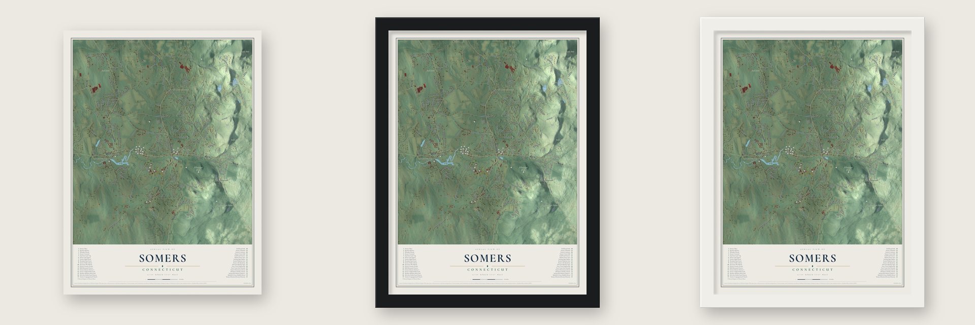
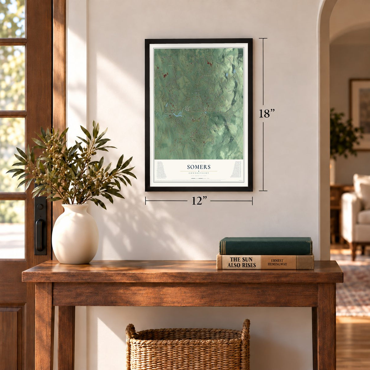
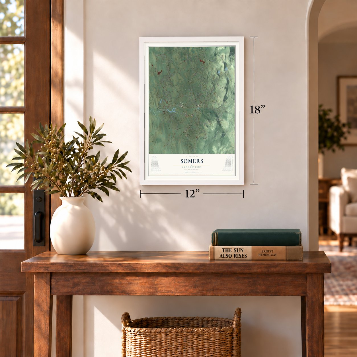
Unframed archival matte, a black wood frame or a white wood frame.
Up close
Geography Worth Displaying
This map was created using accurate cartographic data and authoritative geographic sources, including the U.S. Geological Survey (USGS) and FEMA. The map brings together terrain, waterways, roads, and building detail. The majority of the streets are labeled, houses are accurately depicted, and the topography is derived from government sources. Combining local data with carefully composed color and shading leads to this beautifully detailed Somers artwork for your wall.
Rather than simply showing street outlines, we’ve included as many of the street names as we could reasonably fit on the map while keeping their names legible. Zoom in on the high resolution preview to see exactly what’s on the map. We truly set out to create a statement piece for anyone who loves Somers. So whether it’s for you, or a gift for someone you love, we hope this map of Somers brings back fond memories.
Explore the full map of Somers, Connecticut and read about the local places it shows.
Find your street
Names on the Somers map
Every name below is printed on this map. Look for your street, your school, the park where you played, or the pond down the road.
Places and landmarks12
- Downtown
- Somersville
- North Somers
- Bald Mountain
- Hall Hill
- Perkins Mountain
- Rattlesnake Hill
- Cooley Pond
- Hurds Lake
- Shenipsit State Forest
- Camp Aya-Po
- Whitaker Woods
Streets and roads161
- Main Street
- Bilton Road
- Springfield Road
- Hall Hill Road
- Turnpike Road
- South Road
- Ninth District Road
- Sokol Road
- Pioneer Heights
- Watchaug Road
- Four Bridges Road
- George Wood Road
- Sky Ridge Drive
- Shaker Road
- Old Hampden Road
- Stafford Road
- Billings Road
- Mountain Road
- Pinney Road
- Gulf Road
- Scully Road
- Mountain View Road
- Root Road
- Maple Street
- Field Road
- Vasalie Road
- Wood Road
- Durkee Road
- King Road
- Parker Road
Show all 161 streets
- Florida Road
- Hampden Road
- County Road
- Battle Street
- Egypt Road
- Stebbins Road
- Highland View Drive
- Soapstone Road
- Hurlburt Road
- Rose Haven Road
- Kibbe Grove Road
- Colorado Drive
- Green Tree Lane
- Franklin Woods Drive
- Colton Road
- Rye Hill Circle
- Nutmeg Drive
- Somers Hill Circle
- Scitico Road
- McCullock Drive
- Denison Road
- Bobolink Lane
- Somerset Lane
- Maple Ridge Drive
- Winwood Circle
- Wells Road
- Collins Road
- Pond Circle
- Long Hill Drive
- Blue Ridge Drive
- Brittany Lane
- Colonial Drive
- Loubier Drive
- Hutton Road
- Pine Knob Road
- Camp Road
- Lance Drive
- Suncrest Drive
- Partridge Run
- Plymouth Drive
- Bridle Path Drive
- Aspen Ridge
- Schneider Road
- Sunset Drive
- Bradfield Drive
- Cooksville Road
- Eaglebrook Drive
- Avery Road
- Parson Street
- Old Farm Road
- Isabella Drive
- Haas Road
- Mason Lane
- Bradley Road
- Patsun Road
- Lake Drive
- Juniper Hl
- Mallard Circle
- Miller Drive
- Piper Lane
- Brace Road
- Daniel Drive
- Hallie Lane
- Soap Stone Road
- Fox Hollow Road
- Michele Drive
- Applewood Drive
- Beverly Drive
- Hickory Hill Drive
- Bailey Lane
- White Oak Road
- Dillenback Road
- Wrights Brook Drive
- Hangdog Lane
- Rocky Dundee Road
- Sunshine Farms Drive
- Lovers Lane
- Carriage Drive
- Goodwin Drive
- Grist Mill Terrace
- White Birch Circle
- Shady Glen Lane
- School Street
- Cricket Lane
- Noah Chapin Drive
- Whisper Woods Drive
- Manse Hill Road
- Hill Pasture Road
- Blue Ridge Mountain Drive
- Polo View Road
- Heron Drive
- Deerfield Street
- Eleanor Road
- Royal Manor
- Harness Drive
- Heather Lane
- Heritage Drive
- Harvest Hill Drive
- Lindell Drive
- Hillcrest Drive
- Concord Terrace
- Oak Grv
- Kibbe Drive
- Shady Dell Lane
- Brookford Drive
- Birch Hill Road
- Mulberry Lane
- Bald Mountain Drive
- Brae Burn Drive
- Stone Crossing
- Broadway Road
- Milridge Road
- Fernwood Lane
- Northwest Drive
- Sodom Road
- Jamestown Road
- Pleasant View Drive
- Horseshoe Lane
- Stillwater Lane
- Country Fair Drive
- Ridgewood Road
- Lacabana Drive
- Isaac Bradway Road
- Randall Drive
- Pinedale Road
- Pomeroy Lane
- Lafayette Lane
- Bradford Lane
- Lamson Drive
- Louise Street
- Grant Drive
Names are listed as they appear on the printed map. Zoom into the product photos to find them.
About Somers, Connecticut
Somers is a town of 10,255 people in Tolland County, on the Massachusetts line. It began as the far eastern end of Enfield, and in 1689 Benjamin Jones became its first settler, spending summers on his land and winters back in Enfield. The first families to settle for good came in 1713: Robert Montgomery, Timothy Root, James Pease and Edward Kibbe brought their households, and they worshiped in Root's house on the mountain.
On March 15, 1727, the settlers organized a church and called the Rev. Samuel Allis as their pastor, and four years later they raised a meetinghouse. In 1734 Massachusetts made East Enfield a town and called it Somers, reportedly at Governor Belcher's request, to honor Lord Somers. The town passed to Connecticut in 1749, together with Enfield, Suffield and Woodstock.
“I have not known a wiser man.”
- Two ministers, one churchIn 1770 part of the congregation ordained Samuel Ely themselves after the ministers they asked refused. Ely's followers claimed the meetinghouse and parsonage lands, but the General Assembly ruled against them, and a council of ministers sent Ely away. The reunited town ordained Charles Backus in 1774, and he served until his death in 1803. His school of the prophets trained about 60 young ministers, and several went on to lead Hamilton, Williams, Amherst and Middlebury colleges.
- Levi Pease's stagesAfter the Revolution, Levi Pease, a blacksmith who had served in the war, started a stagecoach line out of Somers. By 1783 his coaches ran from Hartford all the way to Boston, and his routes later reached New York. Pease also won the first contract from the United States Post Office to carry the mail.
- Straw and palm-leaf bonnetsAround 1830 Ebenezer Clark opened a straw bonnet shop, said to be the first in Connecticut, and women and girls across the area braided and sewed for it. Another firm sent palm leaf to families all over Tolland County to weave into sheets. The sheets came back to Somers, where workers cut and stitched them into Shaker bonnets. Women throughout New England wore them, and large lots went by shipment to the South.
- The Somersville millsSpencer and Chaffee began making cloth on the Scantic River in 1835, at a crossroads with a sawmill and a gristmill. Holmes and Reynolds took charge in 1853 and kept making satinet through the Civil War. Rockwell Keeney and his sons bought the woolen mills in 1879, incorporated the Somersville Manufacturing Company in 1883 and built rows of worker housing from about 1885. The brick mill later burned, but the canal and many houses remain.
- Lucinda Pomeroy's petitionAround 1881, Lucinda Pomeroy, then eighty years old, went door to door and collected 200 signatures against the sale of liquor in Somers. The town took up her cause and voted the sale out.
Keep exploring Connecticut
Somers is one of 376 Connecticut towns we've mapped. Every dot on the map is a print of its own.
The search covers every state, Connecticut first.
Near Somers
Order 2 or more town maps and save 10%. Shown in the size and finish you picked above, so they hang as a set.
- Hazardville 12" x 18" / Archival Matte Print $39.99
- Enfield 12" x 18" / Archival Matte Print $39.99
- West Stafford 12" x 18" / Archival Matte Print $39.99
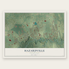
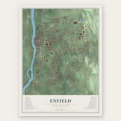
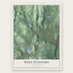
More maps nearby: Ellington, Crystal Lake, Sherwood Manor, Southwood Acres and Broad Brook.
The art of mapping a place
How This Map Was Made
Real places. Remarkable detail. Discover the layers that turn geographic data into a map of home.

The view from above
Aerial imagery reveals the character of the land: woodland, open fields, and the patterns of a place.

The shape of the land
Elevation data brings hills, valleys, and subtle changes in the landscape into view.

The details of home
Roads, waterways, and building footprints come together to make the map feel unmistakably local.

Geography becomes art
Considered color, shading, and typography bring the layers together in a map made for your wall.


Process illustrated with Mendon, Massachusetts. Aerial imagery: USDA NAIP. Terrain: USGS 3D Elevation Program. Map details and finished artwork: KNOWOL.
The Details
About This Print
Choose an archival matte print, or a black or white Ayous wood frame. The archival matte print is unframed.
Select your size and finish above to see the matching product image and price.
Materials & Craftsmanship
A contemporary map with the character of a classic atlas, printed on archival matte paper. Optional frames are made from Ayous wood.
Your printed map does not include the watermark shown in the full-map preview.
Shipping & Delivery
Free shipping within the United States. Every print is made to order in the USA.
Buying a gift? Add a note in your cart and we'll include it. We never put prices in the package.
Prints ship within 2 to 3 business days. Allow 7 to 10 days total from ordering for delivery. Timing may vary during holidays or periods of high order volume.
Read our shipping policy.
Returns and damaged prints
Each print is made to order. Change-of-mind refunds are not available after production.
If your print arrives damaged, misprinted or incorrect, contact support@knowol.com within 30 days of receiving it. Include your order number, photos and a description of the issue.
Read our full refund and replacement policy. For questions about your order, email support@knowol.com.