
Search for another town





Free U.S. delivery 7 to 10 days after you order
Warren, Rhode Island Map Art
Building by building, with labeled streets and shaded relief.
12" x 18" Archival Matte Print
A Map of Home. A Work of Art.
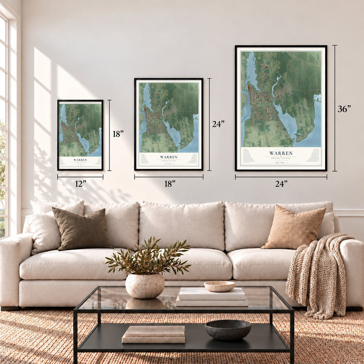
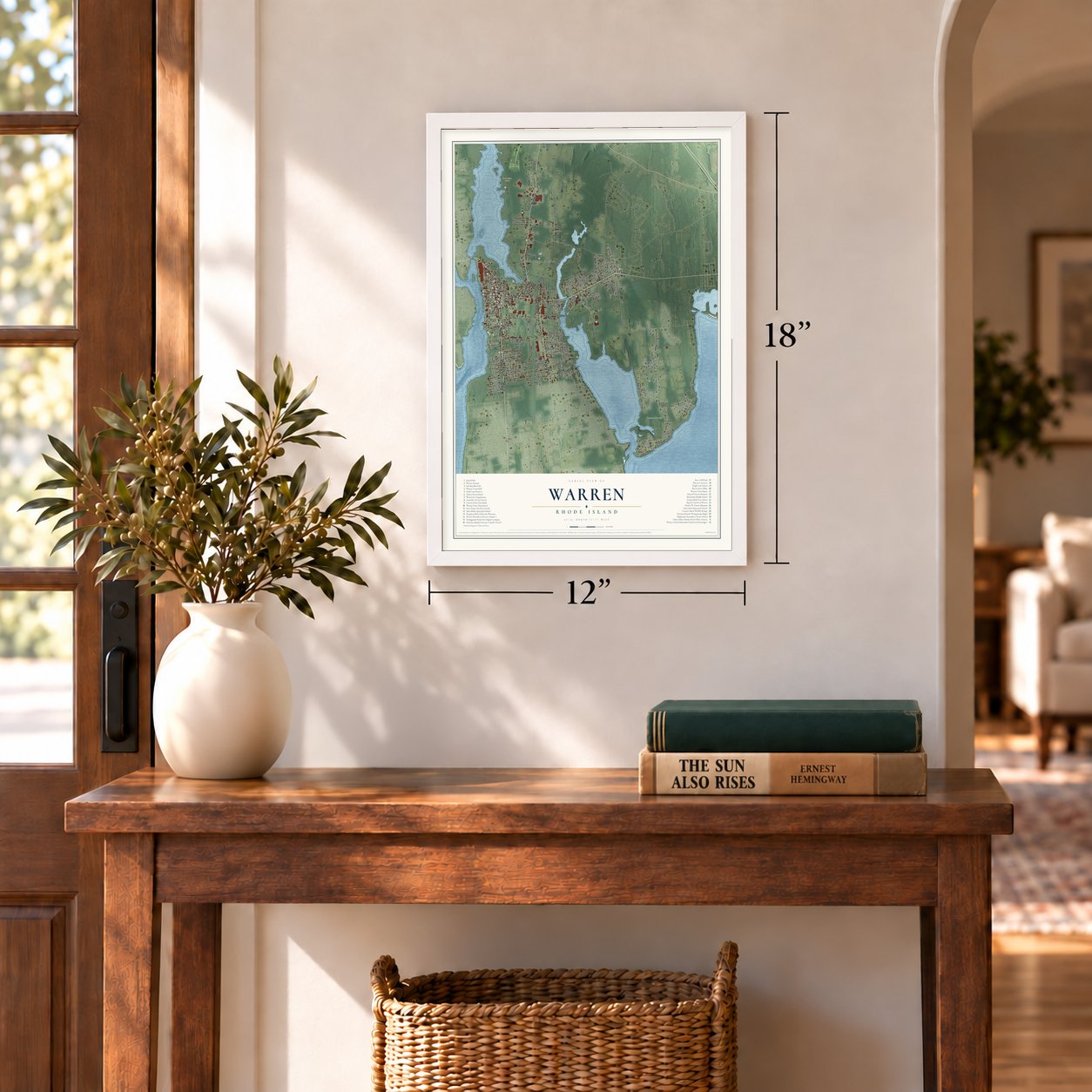
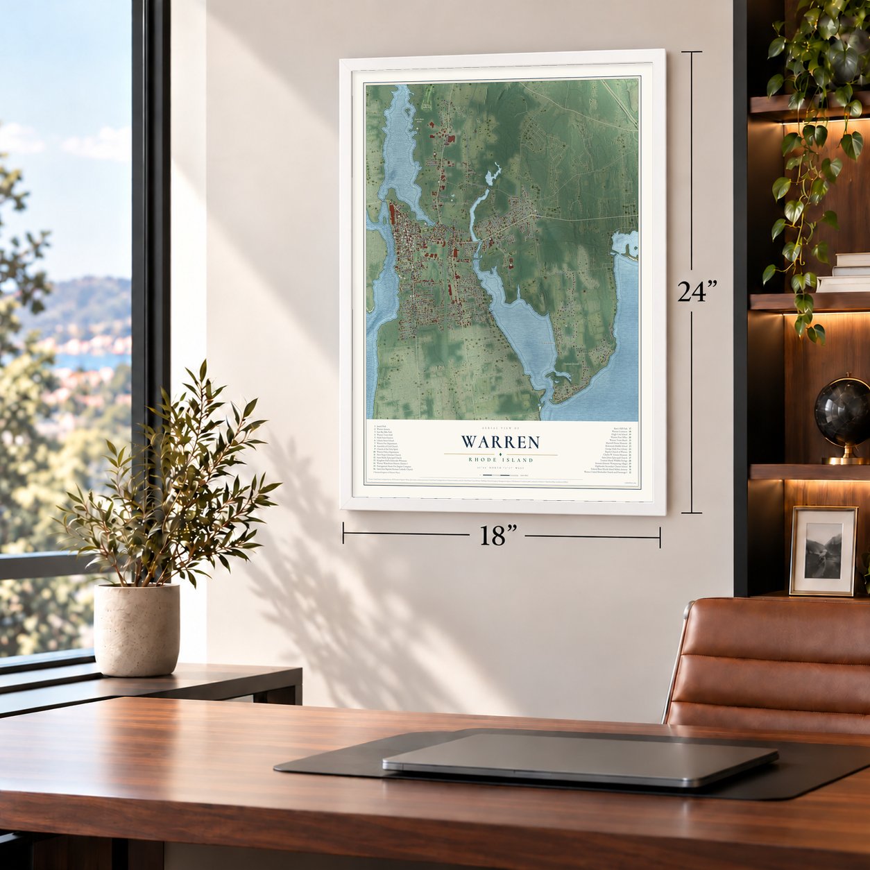
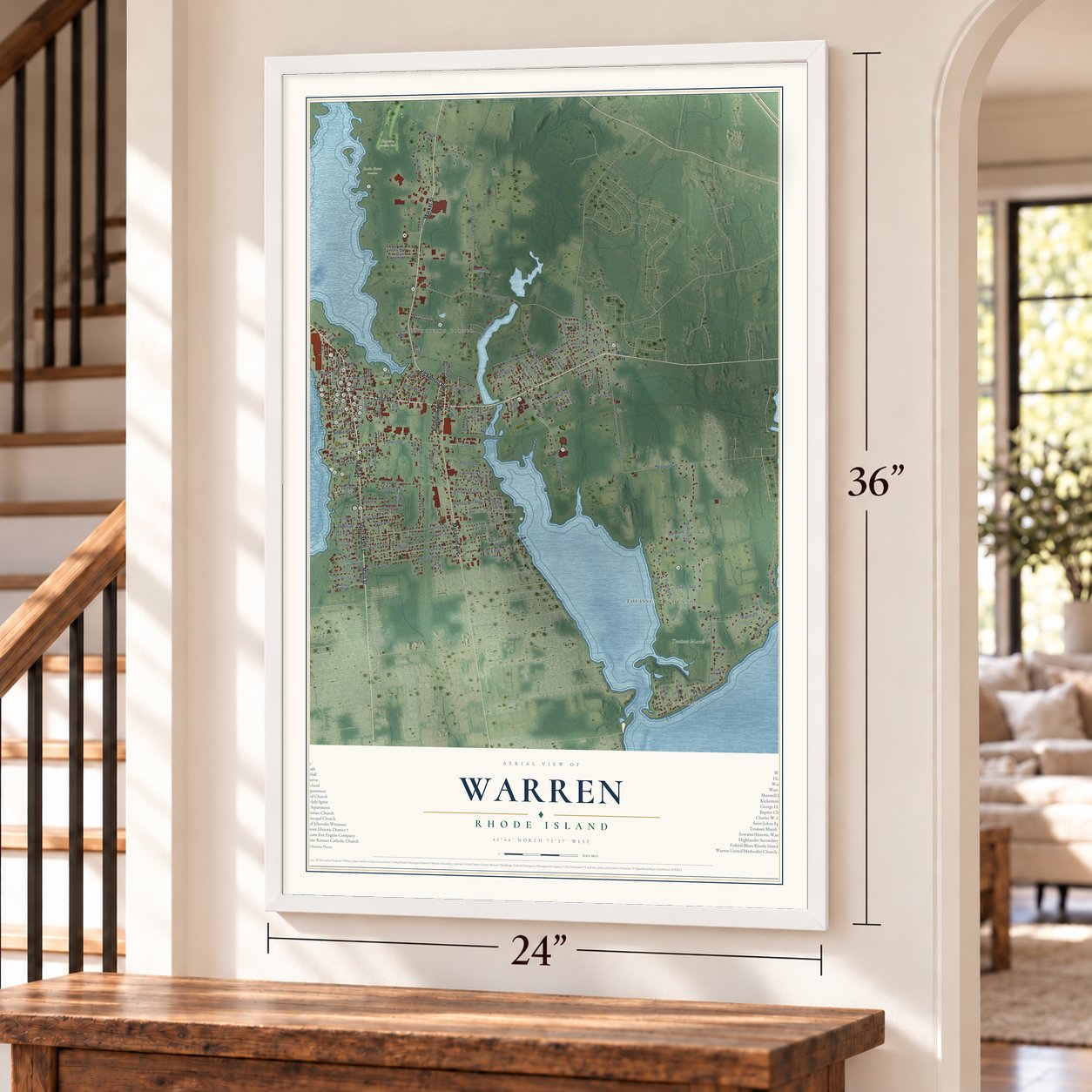
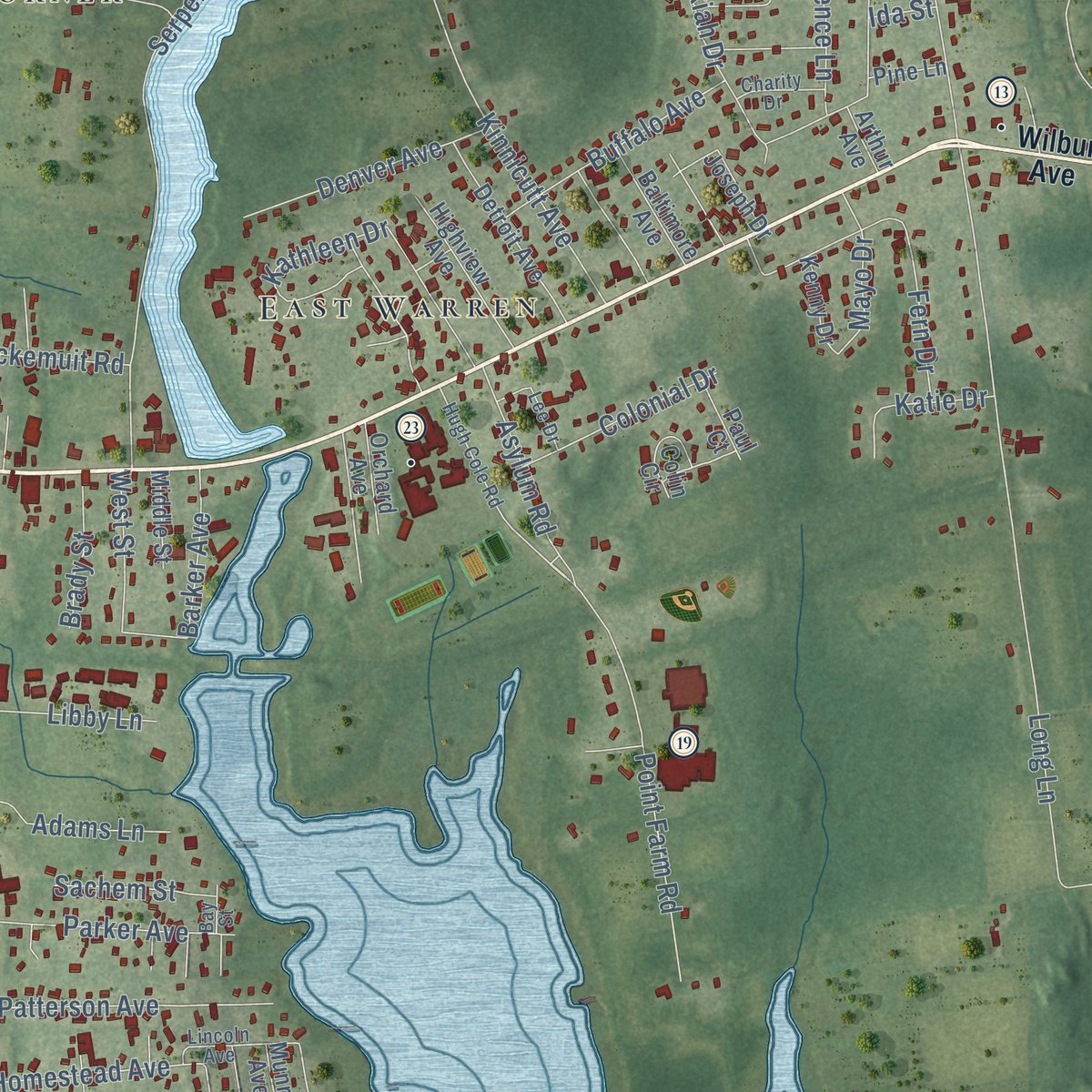
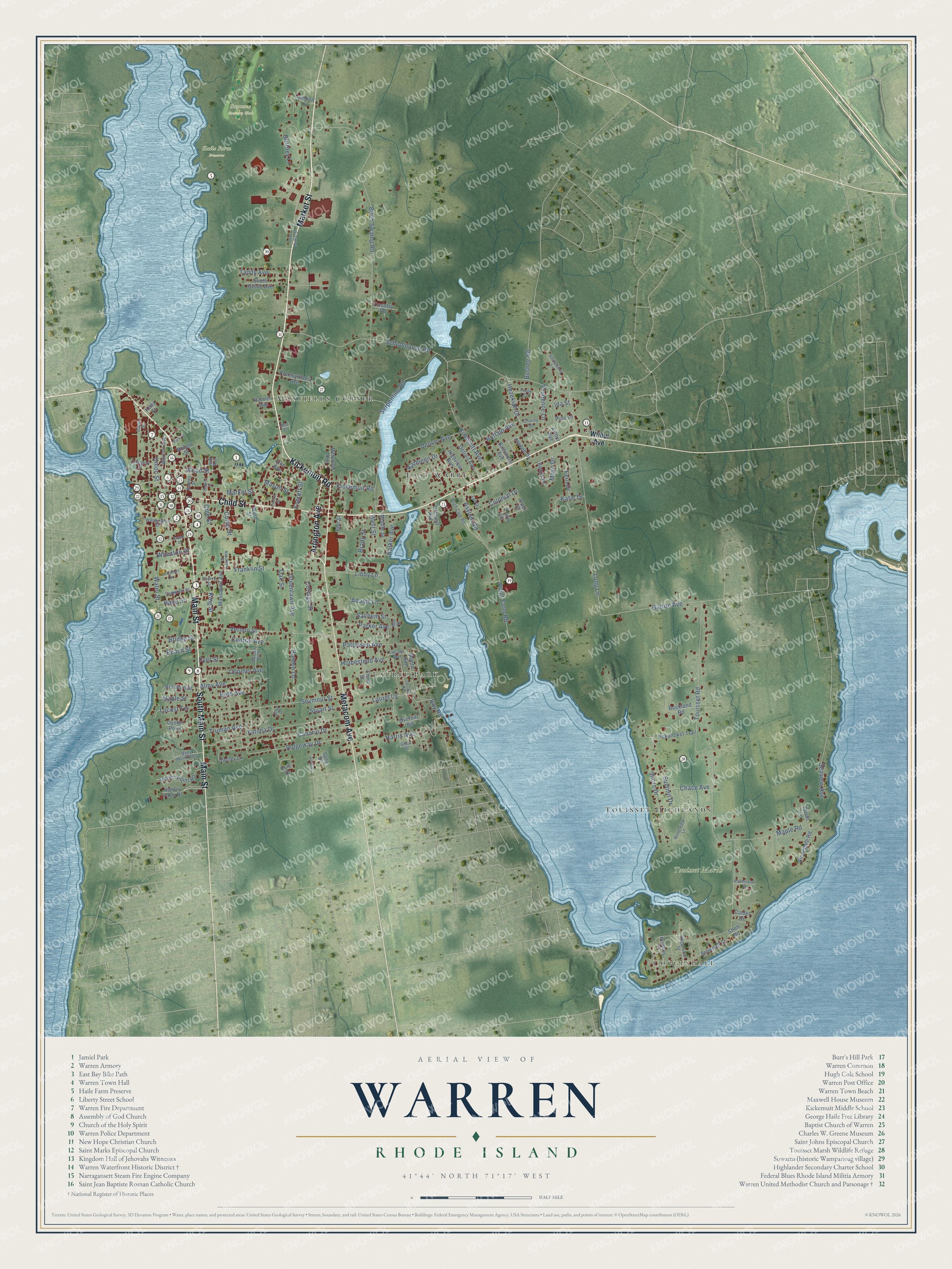
Explore Warren, Rhode Island from a whole new perspective. Created using aerial imagery and detailed geographic data, this map captures Warren building by building, with labeled streets, familiar landmarks, and shaded topographical relief that highlights the natural contours of the landscape.
Combining modern data with the timeless character of a vintage atlas, this map is just as interesting up close as it is beautiful on the wall. Whether you grew up in Warren, spent memorable years there, or call it home today, this unique map is a great way to celebrate a place that means something to you. Zoom in on the preview to look for your street, and then order a print to put your memories on the wall.
Three ways to hang it
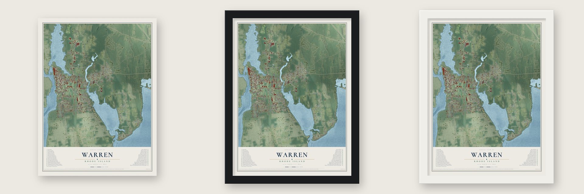
Unframed archival matte, a black wood frame or a white wood frame.
Up close
Geography Worth Displaying
This map was created using accurate cartographic data and authoritative geographic sources, including the U.S. Geological Survey (USGS) and FEMA. The map brings together terrain, waterways, roads, and building detail. The majority of the streets are labeled, houses are accurately depicted, and the topography is derived from government sources. Combining local data with carefully composed color and shading leads to this beautifully detailed Warren artwork for your wall.
Rather than simply showing street outlines, we’ve included as many of the street names as we could reasonably fit on the map while keeping their names legible. Zoom in on the high resolution preview to see exactly what’s on the map. We truly set out to create a statement piece for anyone who loves Warren. So whether it’s for you, or a gift for someone you love, we hope this map of Warren brings back fond memories.
Explore the full map of Warren, Rhode Island and read about the local places it shows.

Find your street
Names on the Warren map
Every name below is printed on this map. Look for your street, your school, the park where you played, or the pond down the road.
Places and landmarks9
- Coggeshall
- Haile Farm Preserve
- Swansea Country Club
- Touisset Marsh
- Jamiel Park
- East Warren
- Laurel Park
- Maxfields Corner
- Touisset Highlands
Streets and roads150
- Main Street
- Market Street
- Kickemuit Road
- Arlington Avenue
- Child Street
- Metacom Avenue
- South Main Street
- Point Farm Road
- Cole Street
- Touisset Road
- Schoolhouse Road
- Birch Swamp Road
- Long Lane
- Water Street
- Serpentine Road
- Fatima Drive
- Seymour Street
- Canario Drive
- Vernon Street
- Franklin Street
- Kinnicutt Avenue
- Maple Road
- Barton Avenue
- Harris Avenue
- Brittney Lane
- Ridgeway Drive
- Asylum Road
- Laurel Lane
- Fern Drive
- Shore Drive
Show all 150 streets
- Patterson Avenue
- Almy Avenue
- Barden Lane
- Wood Street
- Parker Avenue
- Coomer Avenue
- Buffalo Avenue
- Denver Avenue
- Cottage Street
- Greenlawn Avenue
- Hezekiah Drive
- Union Street
- Bushee Road
- Adams Lane
- Kathleen Drive
- Libby Lane
- Chace Avenue
- Homestead Avenue
- Locust Terrace
- Colonial Drive
- Truman Avenue
- King Street
- Summit Drive
- Cutler Street
- Taddy Avenue
- Mayo Drive
- Maple Street
- Prudence Lane
- Beth Avenue
- Bridge Street
- Beach Street
- Dyer Street
- Everett Street
- Barker Avenue
- Seaview Avenue
- Katie Drive
- Central Avenue
- Sachem Street
- West Street
- Brady Street
- Haile Street
- Mason Street
- Wheaton Street
- Stuart Street
- Bay Road
- Oak Street
- Ida Street
- Wilbur Avenue
- Hanley Farm Drive
- Overhill Road
- Brownell Street
- Jacobs Point Road
- Evie Drive
- Detroit Avenue
- Highview Avenue
- Pokanoket Trail
- Warren Avenue
- Bradford Street
- South Grove Avenue
- Oyster Point
- Munro Avenue
- Pennsylvania Avenue
- Stonegate Road
- Massasoit Avenue
- Rockland Road
- Lambert Lane
- Joseph Drive
- Baltimore Avenue
- Third Street
- Orchard Avenue
- Colin Circle
- Country Road
- Nobert Street
- Kenny Drive
- Hanley Lane
- Middle Street
- Paul Court
- Privet Lane
- Ellis Avenue
- Palmer Avenue
- Pine Lane
- Calder Drive
- Arthur Avenue
- Elm Street
- Ward Street
- Shell Road
- Greg Drive
- Kelly Street
- Bagy Wrinkle Cv
- Hugh Cole Road
- Waterview Lane
- Frank Court
- Washington Street
- Warren Boulevard
- Strawberry Lane
- Campbell Street
- Bradbury Street
- Coggeshall Street
- Lincoln Avenue
- Cherry Street
- Charity Drive
- Company Street
- Barney Street
- Davis Street
- Lee Drive
- Hall Avenue
- Tyler Court
- Grant Street
- Bay Street
- John Street
- Old Market Street
- Terrace Avenue
- Broad Street
- Longwharf Drive
- Blackthorne Lane
- Federal Street
- Central Street
- Napoleon Street
- Justin Street
- Park Street
Names are listed as they appear on the printed map. Zoom into the product photos to find them.
About Warren, Rhode Island
Warren is a Bristol County town of 11,147 people, facing Barrington across the Warren River. The Pokanoket village of Sowams stood here, one of more than 60 under the sachem Massasoit, and the Plymouth colonists Edward Winslow and Stephen Hopkins reached it in July 1621. Massasoit and his son Wamsutta later sold the land to Plymouth settlers, who began building east of the village in 1653.
The township was incorporated as Sowams in 1668, but peace between the settlers and the Native people broke down after Massasoit died. When King Philip's War began in 1675, Native fighters destroyed the English settlement at Sowams. Massachusetts gave the town up to Rhode Island in 1747, and its new name honored Admiral Sir Peter Warren, the British naval hero who won at Louisbourg in 1745. Barrington was part of Warren until the two split in 1770.
- Brown's first homeBrown University began in Warren in 1764 under a much longer name, and its first students came in 1765. It was a Baptist school that, unlike Harvard, Yale, Princeton, Penn and Columbia, opened its doors to students of any religion, as Roger Williams had meant Rhode Island to do. In 1770 the college moved to Providence.
- Shelter for Roger WilliamsAfter Roger Williams was banished from Salem in January 1636, he set out for Sowams and fell sick on the way. Massasoit kept him there through the winter until he was well again. Williams later founded Providence Plantations.
- Clippers, then cotton millsWarren was a known whaling port by the mid-1700s. British raids in 1778 hurt its trade, but within ten years of the Revolution its crews were whaling, trading and sailing to the West Indies again.
- Rhode Island's first MethodistsThe Rev. Daniel Smith gathered the Warren United Methodist Church in 1789, making it Rhode Island's first Methodist congregation and New England's second. Perez Mason of Fall River designed its Greek Revival church on Church Street in 1844, fronted like a temple, and the Italianate parsonage was added in 1858. Church and parsonage joined the National Register in 1971.
- The Queen of BaseballLizzie Murphy, probably born here in 1894, had left school by 12 to spin yarn at the Parker Woolen Mill, and she played for the Warren Silk Hats. Calling herself "The Queen of Baseball," she spent seventeen years at first base as a professional. At Fenway Park in 1922, during a charity game, she became the first woman to take the field against major leaguers. She retired home to Warren in 1935.
Keep exploring Rhode Island
Warren is one of 85 Rhode Island towns we've mapped. Every dot on the map is a print of its own.
The search covers every state, Rhode Island first.
Near Warren
Order 2 or more town maps and save 10%. Shown in the size and finish you picked above, so they hang as a set.
- Hampden Meadows 12" x 18" / Archival Matte Print $39.99
- Barrington 12" x 18" / Archival Matte Print $39.99
- Bristol 12" x 18" / Archival Matte Print $39.99


More maps nearby: Nayatt, East Providence, Warwick, Tiverton and Portsmouth.
The art of mapping a place
How This Map Was Made
Real places. Remarkable detail. Discover the layers that turn geographic data into a map of home.

The view from above
Aerial imagery reveals the character of the land: woodland, open fields, and the patterns of a place.

The shape of the land
Elevation data brings hills, valleys, and subtle changes in the landscape into view.

The details of home
Roads, waterways, and building footprints come together to make the map feel unmistakably local.

Geography becomes art
Considered color, shading, and typography bring the layers together in a map made for your wall.


Process illustrated with Mendon, Massachusetts. Aerial imagery: USDA NAIP. Terrain: USGS 3D Elevation Program. Map details and finished artwork: KNOWOL.
The Details
About This Print
Choose an archival matte print, or a black or white Ayous wood frame. The archival matte print is unframed.
Select your size and finish above to see the matching product image and price.
Materials & Craftsmanship
A contemporary map with the character of a classic atlas, printed on archival matte paper. Optional frames are made from Ayous wood.
Your printed map does not include the watermark shown in the full-map preview.
Shipping & Delivery
Free shipping within the United States. Every print is made to order in the USA.
Buying a gift? Add a note in your cart and we'll include it. We never put prices in the package.
Prints ship within 2 to 3 business days. Allow 7 to 10 days total from ordering for delivery. Timing may vary during holidays or periods of high order volume.
Read our shipping policy.
Returns and damaged prints
Each print is made to order. Change-of-mind refunds are not available after production.
If your print arrives damaged, misprinted or incorrect, contact support@knowol.com within 30 days of receiving it. Include your order number, photos and a description of the issue.
Read our full refund and replacement policy. For questions about your order, email support@knowol.com.