
Search for another town





Free U.S. delivery 7 to 10 days after you order
Hyde Park, Massachusetts Map Art
Building by building, with labeled streets and shaded relief.
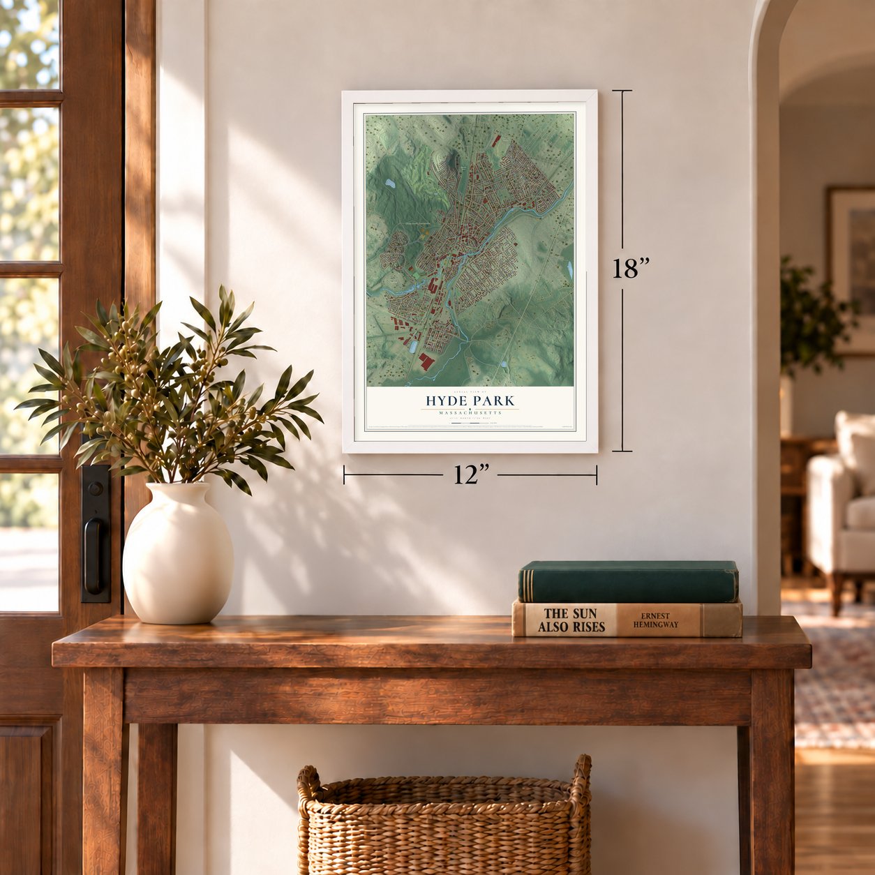
12" x 18" Archival Matte Print
A Map of Home. A Work of Art.
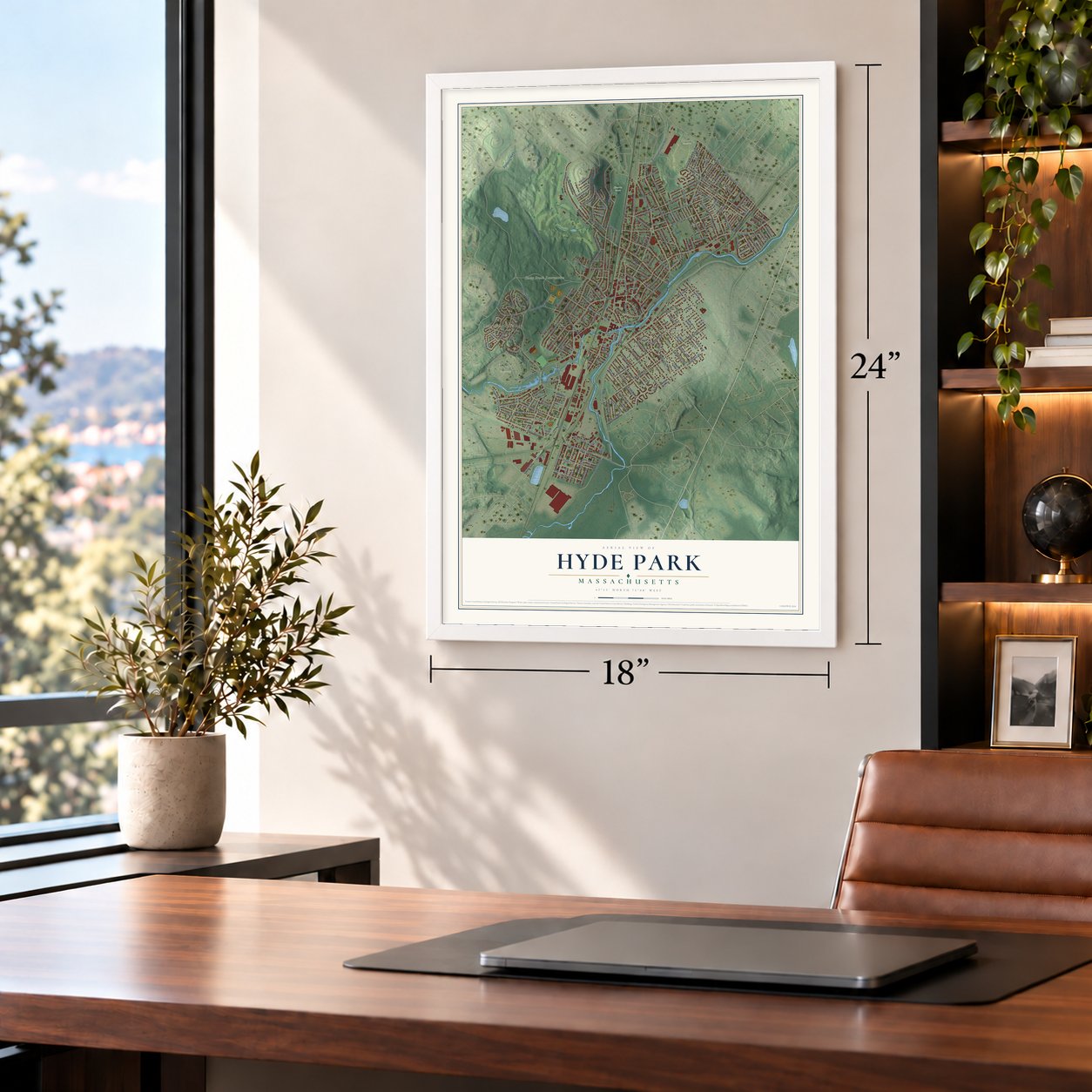
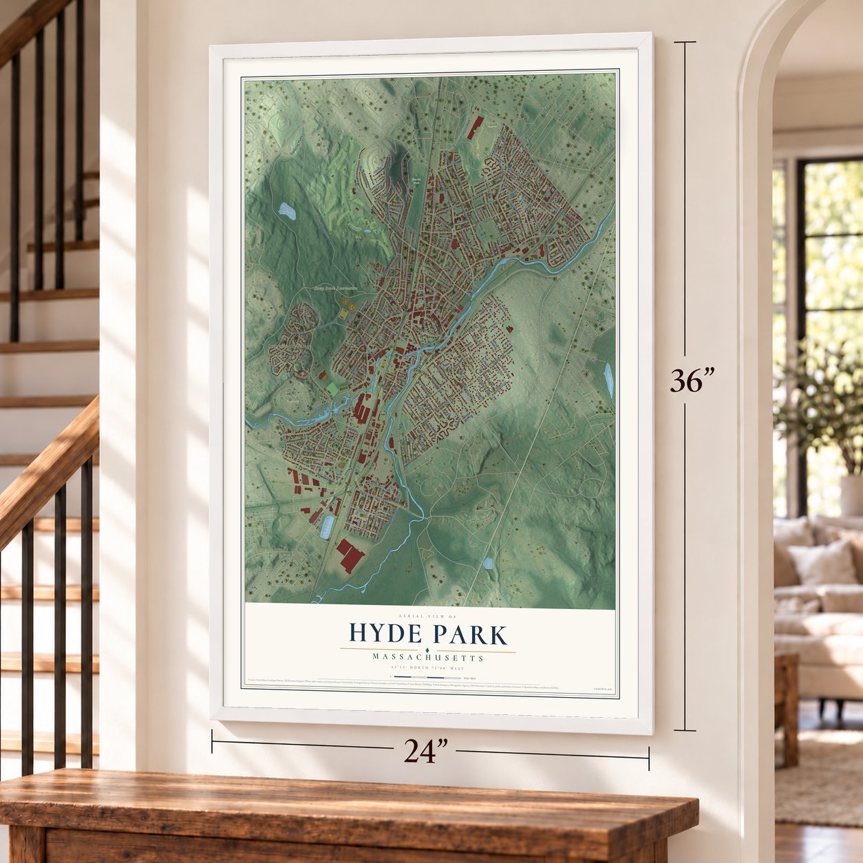
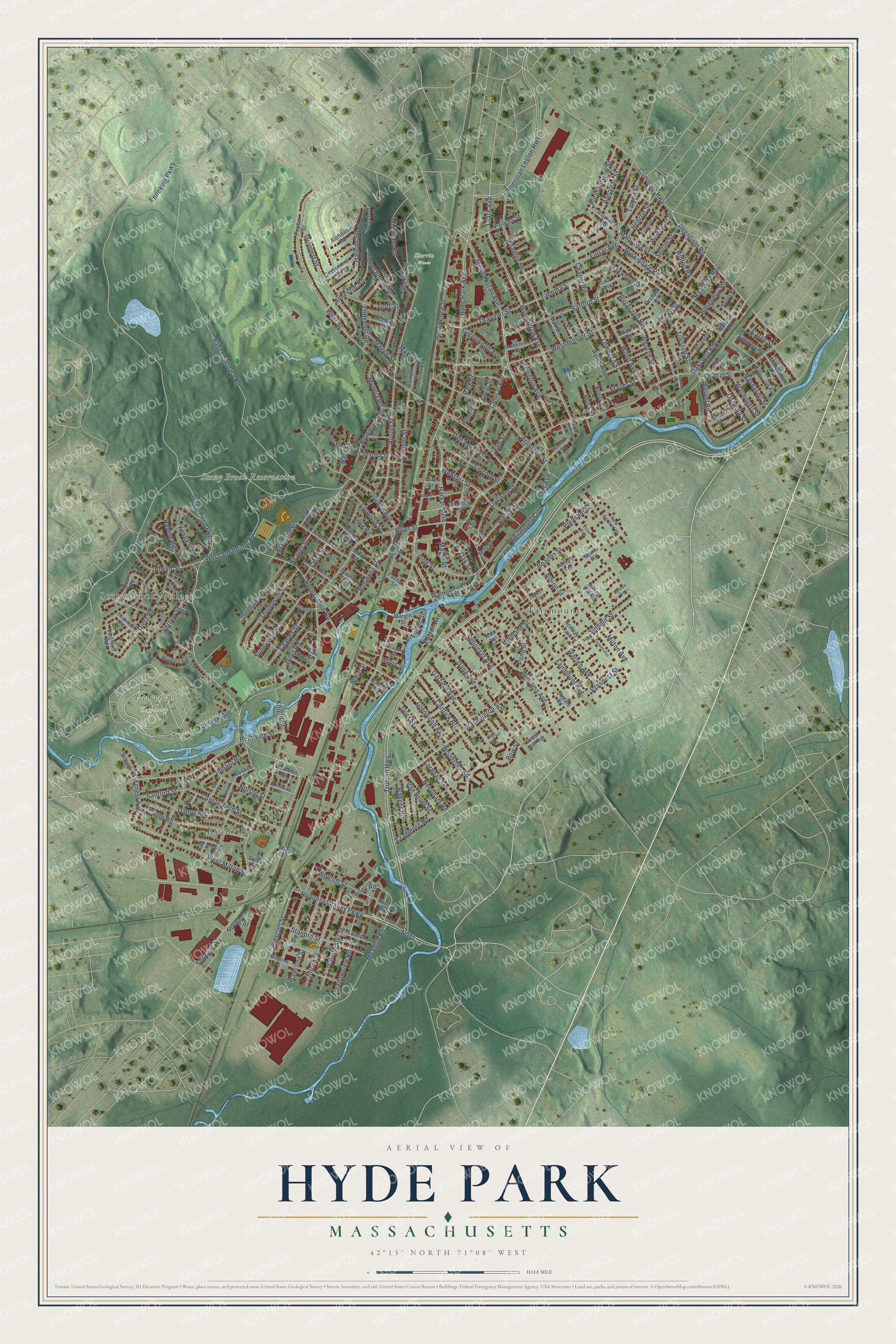
Explore Hyde Park, Massachusetts from a whole new perspective. Created using aerial imagery and detailed geographic data, this map captures Hyde Park building by building, with labeled streets, familiar landmarks, and shaded topographical relief that highlights the natural contours of the landscape.
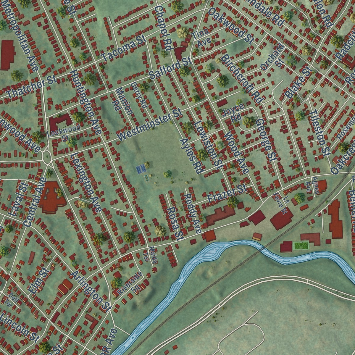
Combining modern data with the timeless character of a vintage atlas, this map is just as interesting up close as it is beautiful on the wall. Whether you grew up in Hyde Park, spent memorable years there, or call it home today, this unique map is a great way to celebrate a place that means something to you. Zoom in on the preview to look for your street, and then order a print to put your memories on the wall.
Three ways to hang it
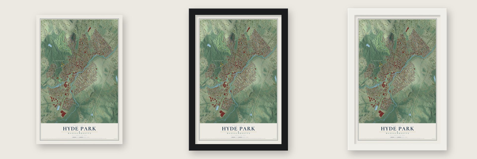
Unframed archival matte, a black wood frame or a white wood frame.
Up close
Geography Worth Displaying
This map was created using accurate cartographic data and authoritative geographic sources, including the U.S. Geological Survey and the Census Bureau. The map brings together terrain, waterways, roads, and building detail. The majority of the streets are labeled, houses are accurately depicted, and the topography is derived from government sources. Combining local data with carefully composed color and shading leads to this beautifully detailed Hyde Park artwork for your wall.
Rather than simply showing street outlines, we’ve included as many of the street names as we could reasonably fit on the map while keeping their names legible. Zoom in on the high resolution preview to see exactly what’s on the map. We truly set out to create a statement piece for anyone who loves Hyde Park. So whether it’s for you, or a gift for someone you love, we hope this map of Hyde Park brings back fond memories.
Read the story behind this map: Detailed Map of Hyde Park, Massachusetts.

Find your street
Names on the Hyde Park map
Every name below is printed on this map. Look for your street, your school, the park where you played, or the pond down the road.
Places and landmarks8
- Fairview Cemetery
- Sherrin Woods
- Stony Brook Reservation
- Oaklawn Cemetery
- Fairmount
- Stonybrook Village
- Readville
- Norway Park
Streets and roads238
- Truman Highway
- Garfield Avenue
- Needham Road
- Washington Street
- Neponset Valley Parkway
- Summit Street
- Oakcrest Road
- Sprague Street
- Greenfield Road
- RR Avenue
- Tileston Street
- Metropolitan Avenue
- West Street
- Turtle Pond Parkway
- Huntington Avenue
- Highland Street
- Clare Avenue
- Milton Avenue
- Maple Street
- Ernest Avenue
- River Street
- Hyde Park Avenue
- East Boundary Road
- Enneking Parkway
- Wood Avenue
- Dana Avenue
- Reservation Road
- Fairmount Avenue
- Austin Street
- Readville Street
Show all 238 streets
- Westminster Street
- Central Avenue
- Providence Street
- Williams Avenue
- Warren Avenue
- Gordon Avenue
- Arlington Street
- Neponset Avenue
- Child Street
- Blake Street
- Ruskindale Road
- Beacon Street
- Cummins Highway
- West Milton Street
- American Legion Highway
- Summer Street
- Business Street
- Deforest Street
- Bradlee Street
- Sherrin Street
- West Smithfield Road
- Meadow Road
- Davison Street
- Glenwood Avenue
- Como Road
- Pierce Street
- Danny Road
- Faraday Street
- Fairmount Court
- Chesterfield Street
- Beaver Street
- Safford Street
- Chittick Road
- Prospect Street
- Thompson Street
- Farrar Avenue
- Belnel Road
- Lewiston Street
- Harvard Avenue
- Stanbro Street
- Sunnyside Street
- Prescott Street
- Clifford Street
- Colchester Street
- Mariposa Street
- Radcliffe Road
- Windham Road
- Thatcher Street
- Tacoma Street
- Oak Street
- Dedham Street
- Lodgehill Road
- Pleasant Street
- Lexington Avenue
- Dietz Road
- Asheville Road
- Hamilton Street
- Ayles Road
- Lincoln Street
- Hallron Street
- Annafran Street
- Alwyn Street
- Norton Street
- Charles Street
- Pleasantview Street
- Beechmont Street
- Greenwood Avenue
- Walnut Street
- Cranmore Road
- Birchcroft Road
- Webster Street
- Tyler Street
- Myopia Road
- Braeburn Road
- Collins Street
- Osceola Street
- Imbaro Road
- George Street
- Goff Street
- Linwood Street
- Hillis Road
- Marston Street
- Hebron Street
- Riley Road
- Wachusett Street
- Ridlon Road
- Wolcott Street
- Van Brunt Street
- Badger Road
- Meadowview Road
- Roseberry Road
- Fairview Avenue
- Vernon Street
- Raldne Road
- Sanford Street
- Dell Avenue
- Tampa Street
- Massasoit Street
- Knight Street
- Frazer Street
- Oakwood Street
- Pond Street
- Brainard Street
- Chapel Road
- Magee Street
- Woodglen Road
- Hale Street
- Easton Avenue
- Sefton Street
- Pine Street
- Bow Street
- Kovey Court
- Albion Street
- Laval Street
- Elm Street
- Caton Street
- Horne Street
- Rosa Street
- Park Street
- Avila Road
- Fulton Street
- Ralston Road
- Suncrest Road
- Waterloo Street
- Milton Street
- Leighton Road
- Poydras Street
- Bunker Street
- Poplar Street
- Winthrop Street
- Weybosset Street
- Joan Road
- Roanoke Road
- Grassmere Road
- Spring Hill Road
- Holmfield Avenue
- Barry Street
- Monponset Street
- Alpheus Road
- Maple Leaf Drive
- Emmett Street
- Lawton Street
- Solaris Road
- Reddy Avenue
- Chestnut Street
- Manion Road
- Ruffing Street
- Perkins Avenue
- Hilton Street
- Sierra Road
- Mount Ash Road
- Margin Street
- Beech Street
- Tina Avenue
- Winter Street
- Wilton Street
- Folsom Street
- Skyline Road
- Joyce Road
- Brush Hill Terrace
- Factory Street
- Orchard Street
- Ellis Street
- Thorn Street
- Milton Terrace
- Norris Road
- Aldo Terrace
- Nott Street
- Mason Street
- Donna Terrace
- Way Street
- Clay Street
- Fleet Street
- Dedham Parkway
- Millstone Road
- Cleveland Street
- Riverside Square
- Vose Avenue
- Rosemont Street
- Gwinnett Street
- Lockwood Street
- Hopewell Road
- Derry Road
- Pine Avenue
- Eastmont Road
- Albemarle Street
- New Bedford Street
- Ranley Road
- Grantley Street
- Field Lane
- Teresa Terrace
- Vallaro Road
- Kennebec Street
- Farwell Avenue
- Everett Street
- Edson Street
- New Acre Road
- Winslow Street
- Manila Avenue
- Roxana Street
- Franklin Terrace
- Kardon Road
- Dell Terrace
- Rector Road
- Farrin Street
- Le Fevre Street
- Agnes Avenue
- Maida Terrace
Names are listed as they appear on the printed map. Zoom into the product photos to find them.
About Hyde Park, Massachusetts
Hyde Park began in 1868 as an independent town. Its high school opened a year later, in 1869. The City of Boston annexed the town in 1912, and the school passed to the Boston Public Schools.
Keep exploring Massachusetts
Hyde Park is one of 470 Massachusetts towns we've mapped. Every dot on the map is a print of its own.
The search covers every state, Massachusetts first.
Near Hyde Park
Order 2 or more town maps and save 10%. Shown in the size and finish you picked above, so they hang as a set.
- Roslindale 12" x 18" / Archival Matte Print $39.99
- Milton 12" x 18" / Archival Matte Print $39.99
- Mattapan 12" x 18" / Archival Matte Print $39.99


More maps nearby: West Roxbury, Dedham, Jamaica Plain, Dorchester and Roxbury.
The art of mapping a place
How This Map Was Made
Real places. Remarkable detail. Discover the layers that turn geographic data into a map of home.

The view from above
Aerial imagery reveals the character of the land: woodland, open fields, and the patterns of a place.

The shape of the land
Elevation data brings hills, valleys, and subtle changes in the landscape into view.

The details of home
Roads, waterways, and building footprints come together to make the map feel unmistakably local.

Geography becomes art
Considered color, shading, and typography bring the layers together in a map made for your wall.


Process illustrated with Mendon, Massachusetts. Aerial imagery: USDA NAIP. Terrain: USGS 3D Elevation Program. Map details and finished artwork: KNOWOL.
The Details
About This Print
Choose an archival matte print, or a black or white Ayous wood frame. The archival matte print is unframed.
Select your size and finish above to see the matching product image and price.
Materials & Craftsmanship
A contemporary map with the character of a classic atlas, printed on archival matte paper. Optional frames are made from Ayous wood.
Your printed map does not include the watermark shown in the full-map preview.
Shipping & Delivery
Free shipping within the United States. Every print is made to order in the USA.
Buying a gift? Add a note in your cart and we'll include it. We never put prices in the package.
Prints ship within 2 to 3 business days. Allow 7 to 10 days total from ordering for delivery. Timing may vary during holidays or periods of high order volume.
Read our shipping policy.
Returns and damaged prints
Each print is made to order. Change-of-mind refunds are not available after production.
If your print arrives damaged, misprinted or incorrect, contact support@knowol.com within 30 days of receiving it. Include your order number, photos and a description of the issue.
Read our full refund and replacement policy. For questions about your order, email support@knowol.com.