
Search for another town




Free U.S. delivery 7 to 10 days after you order
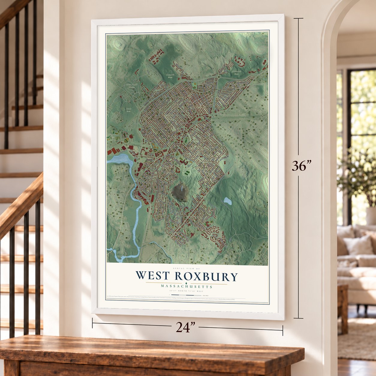
West Roxbury, Massachusetts Map Art
Building by building, with labeled streets and shaded relief.
12" x 18" Archival Matte Print
A Map of Home. A Work of Art.
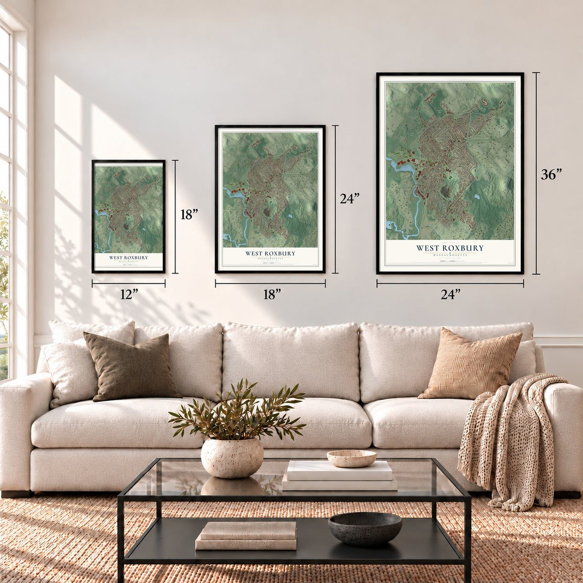
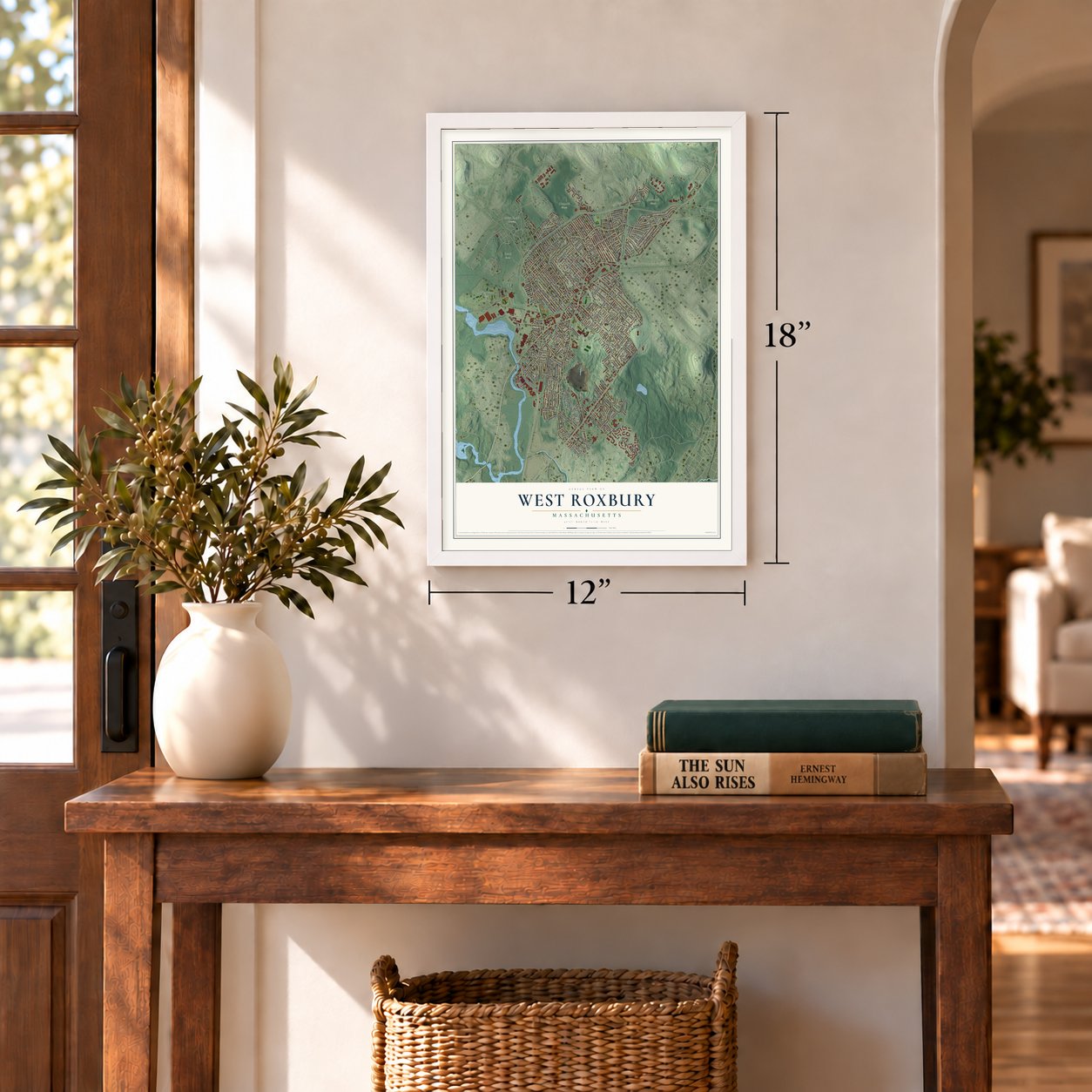
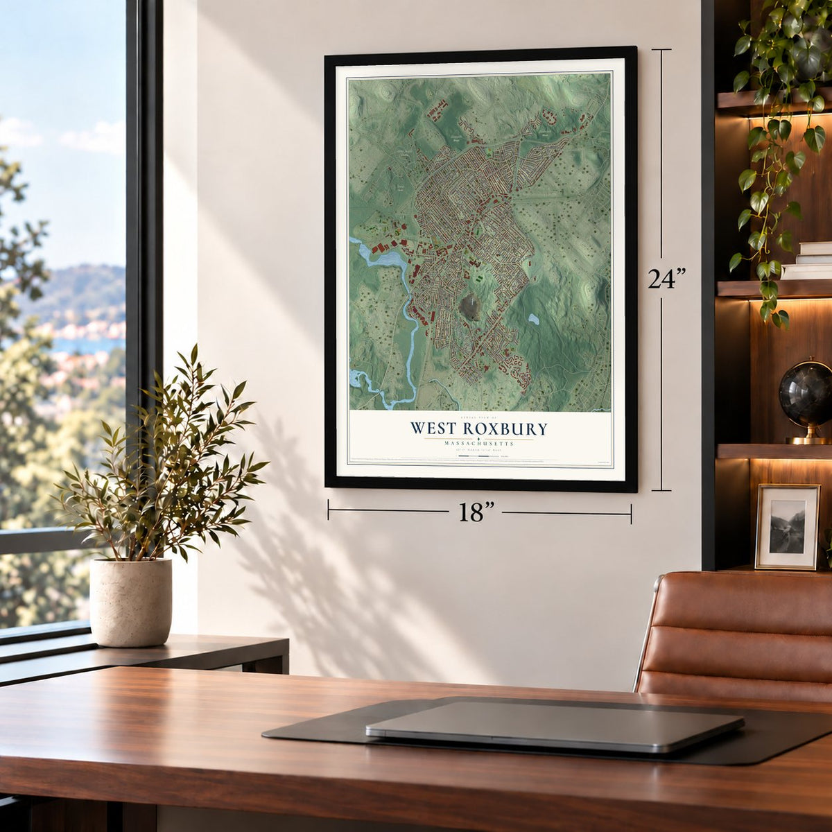
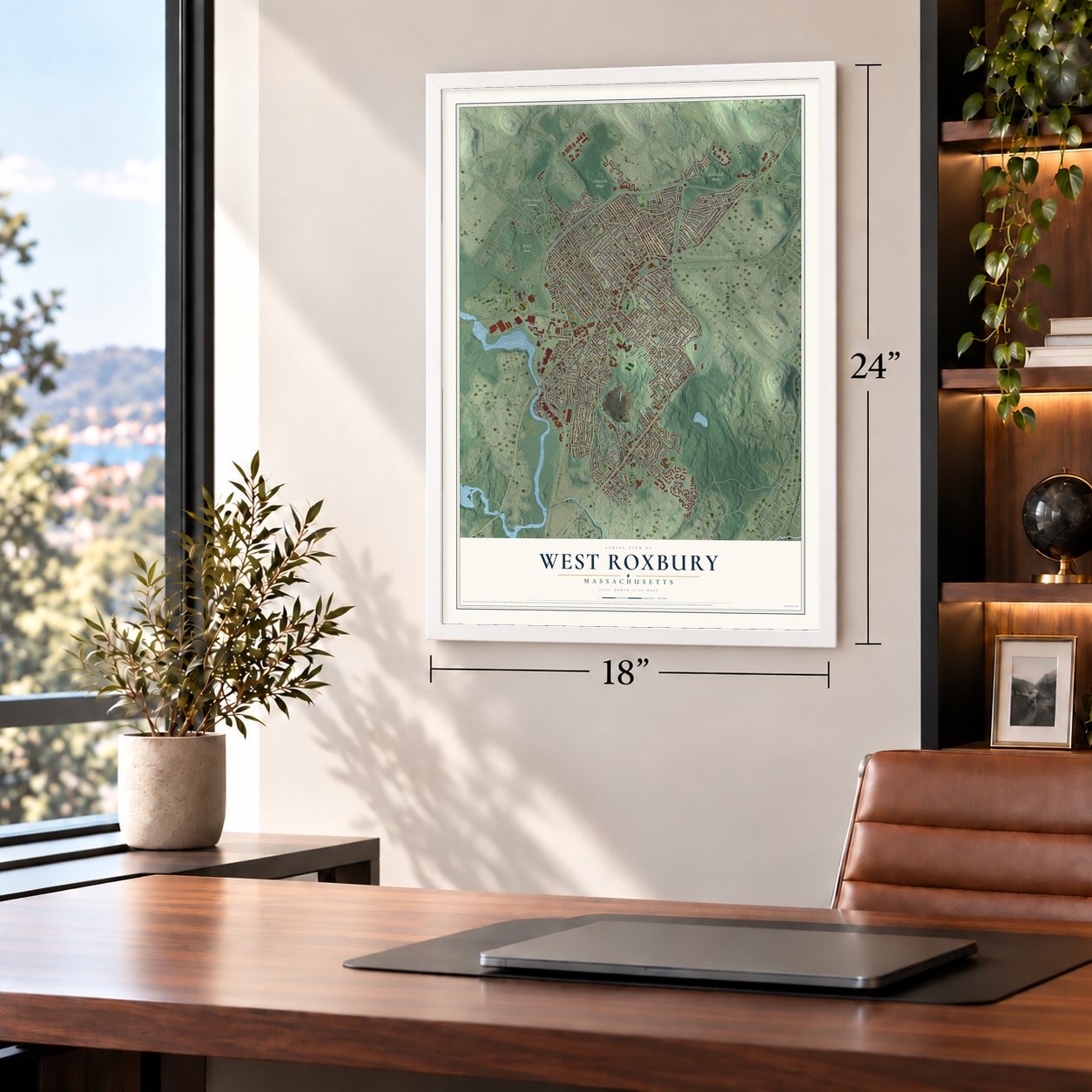
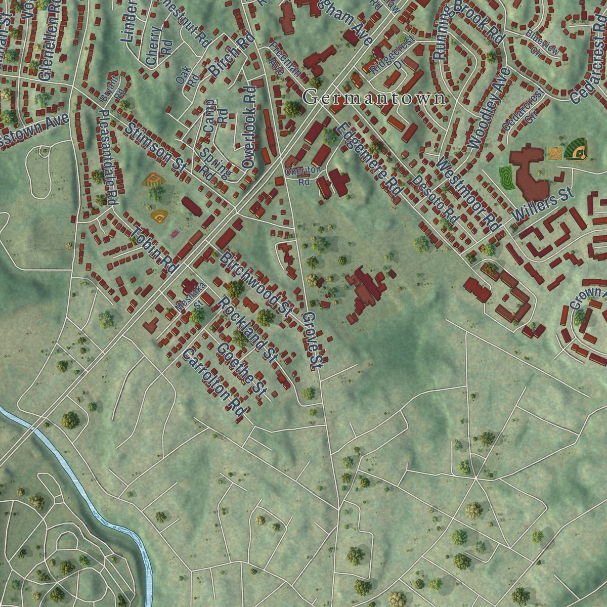
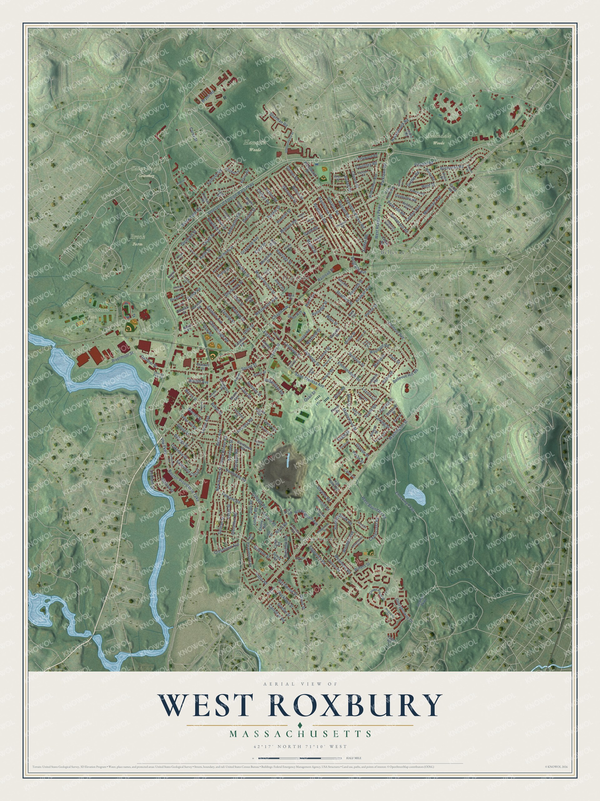
Explore West Roxbury, Massachusetts from a whole new perspective. Created using aerial imagery and detailed geographic data, this map captures West Roxbury building by building, with labeled streets, familiar landmarks, and shaded topographical relief that highlights the natural contours of the landscape.
Combining modern data with the timeless character of a vintage atlas, this map is just as interesting up close as it is beautiful on the wall. Whether you grew up in West Roxbury, spent memorable years there, or call it home today, this unique map is a great way to celebrate a place that means something to you. Zoom in on the preview to look for your street, and then order a print to put your memories on the wall.
Three ways to hang it
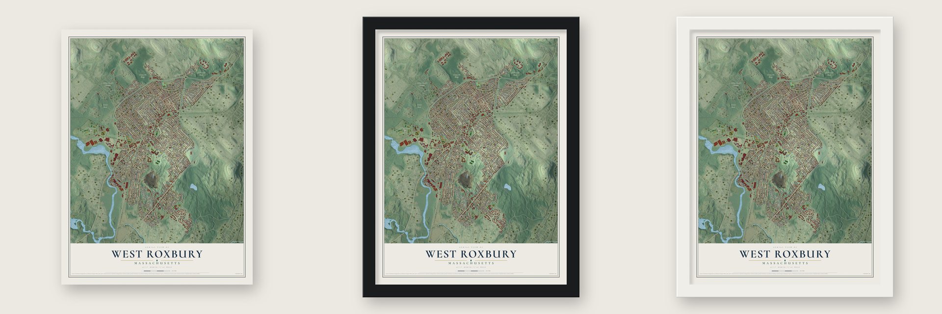
Unframed archival matte, a black wood frame or a white wood frame.
Up close
Geography Worth Displaying
This map was created using accurate cartographic data and authoritative geographic sources, including the U.S. Geological Survey and the Census Bureau. The map brings together terrain, waterways, roads, and building detail. The majority of the streets are labeled, houses are accurately depicted, and the topography is derived from government sources. Combining local data with carefully composed color and shading leads to this beautifully detailed West Roxbury artwork for your wall.
Rather than simply showing street outlines, we’ve included as many of the street names as we could reasonably fit on the map while keeping their names legible. Zoom in on the high resolution preview to see exactly what’s on the map. We truly set out to create a statement piece for anyone who loves West Roxbury. So whether it’s for you, or a gift for someone you love, we hope this map of West Roxbury brings back fond memories.
Read the story behind this map: Detailed Map of West Roxbury, Massachusetts.
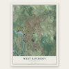
Find your street
Names on the West Roxbury map
Every name below is printed on this map. Look for your street, your school, the park where you played, or the pond down the road.
Places and landmarks8
- Allandale Woods
- Brook Farm
- Hancock Woods
- Millennium Park
- Saint Joseph Cemetery
- Germantown
- Highland
- Bellevue
Streets and roads263
- Veterans of Foreign Wars Parkway
- Vfw Parkway
- Boston-Providence Turnpike
- Brook Farm Road
- West Roxbury Parkway
- Washington Street
- Spring Street
- Centre Street
- Enneking Parkway
- Bryon Road
- Saint Theresa Avenue
- Hackensack Road
- Sherman Road
- Corey Street
- Woodley Avenue
- Overlook Road
- Gretter Road
- Brier Road
- Lagrange Street
- Baker Street
- Weld Street
- Park Street
- Grove Street
- Temple Street
- Bellevue Street
- Stratford Street
- West Boundary Road
- Clement Avenue
- Maple Street
- Perham Street
Show all 263 streets
- Manthorne Road
- Edgemere Road
- Willow Street
- Vermont Street
- Gardner Street
- Stimson Street
- Wren Street
- Church Street
- Georgetowne Drive
- Glenellen Road
- Lasell Street
- Dent Street
- Mount Vernon Street
- Sanborn Avenue
- Bellevue Hill Road
- Laurie Avenue
- Russett Road
- Greaton Road
- Chesbrough Road
- Woodard Road
- Westmoor Road
- New Haven Street
- Cowing Street
- Northdale Road
- Cottage Road
- Landseer Street
- Buchanan Road
- Eastwood Circuit
- Redlands Road
- Newfield Street
- Salman Street
- Maplewood Street
- Montclair Avenue
- Rivermoor Street
- Parklawn Road
- Keystone Street
- Addington Road
- Sunset Hill Road
- Potomac Street
- Cerdan Avenue
- Courtney Road
- Running Brook Road
- Dwinell Street
- Cass Street
- Bogandale Road
- Belle Avenue
- Hastings Street
- Vogel Street
- Cedarcrest Road
- Keith Street
- Gould Street
- Searle Road
- Vincent Road
- Emmonsdale Road
- Martin Street
- Crosstown Avenue
- Quail Street
- Billings Street
- Dedham Street
- Grayfield Avenue
- Theodore Parker Road
- Joyce Kilmer Road
- Glenham Street
- Oriole Street
- Rockland Street
- Anawan Avenue
- Willers Street
- Furbush Road
- Oakmere Street
- Robin Street
- Westover Street
- Morrell Street
- Heron Street
- Garnet Road
- Linden Road
- Birchwood Street
- Peak Hill Road
- Sherbrook Street
- Garth Road
- Rockingham Avenue
- Grouse Street
- Wycliff Avenue
- Westmount Avenue
- Stearns Road
- Paragon Road
- Fairlane Road
- Kenneth Street
- Birch Road
- Summer Street
- Pelton Street
- Belgrade Avenue
- Linnet Street
- Second Street
- Ansonia Road
- Avalon Road
- Crest Street
- Railroad Street
- Esther Road
- Bonad Road
- Goethe Street
- Maxfield Street
- Chapin Avenue
- Dow Road
- Carrolton Road
- Tobin Road
- Rutledge Street
- Pomfret Street
- Chilton Road
- Midvale Road
- Eagle Street
- Elgin Street
- Varick Road
- Ruskin Street
- Ivory Street
- Loyola Circle
- Wolfe Street
- Faith Hil
- Dedham Parkway
- Desoto Road
- Lyall Street
- Willowdean Avenue
- Partridge Street
- Crown Point Drive
- Montview Street
- Howitt Road
- Cricket Lane
- Ledge Hill Road
- Johnson Street
- Constance Road
- Pleasantdale Road
- Dana Road
- Glenhaven Road
- Shaw Street
- Glenburnie Road
- Caspar Street
- Atwill Road
- Worley Street
- Chestnut Road
- Keane Road
- Alleyne Street
- Leland Road
- Hollywood Road
- Morey Road
- Alaric Street
- Quinn Way
- Brucewood Street
- Spring Road
- Cherry Road
- Moville Street
- High View Avenue
- Pinecliff Road
- Sturges Road
- Centre Terrace
- Kiernan Road
- Lorette Street
- Larkhill Road
- Durant Street
- Tarleton Road
- Rumford Road
- Miami Avenue
- March Avenue
- Park Front Road
- Carol Circle
- Danville Street
- Dunwell Street
- Bobolink Street
- Baker Place
- Altair Road
- Berwick Street
- Cefalo Road
- Colby Road
- Acacia Road
- Camp Road
- Virgil Road
- Kirk Street
- Plover Street
- Bird Place
- Park Terrace
- Independence Drive
- Charles Park Road
- Pierpont Road
- Sparrow Street
- Ridgecrest Drive
- Carlson Circle
- Bellaire Road
- Bonair Street
- Ravenna Road
- Freeman Avenue
- Oak Road
- Pleasant Valley Circle
- Vershire Street
- Meredith Street
- Franclaire Drive
- Cedarcrest Circle
- Thurlow Street
- Alward Road
- Powell Street
- Latin Road
- Swan Street
- Kershaw Road
- Capital Street
- Centre Lane
- Corey Terrace
- Meshaka Street
- Margaretta Drive
- Carroll Street
- Anderer Lane
- Redgate Road
- Chellman Street
- Caledonian Avenue
- Cheriton Road
- Alberta Street
- Hartlawn Road
- Bertson Avenue
- White Oak Road
- Woodbrier Road
- Alhambra Road
- Cotuit Street
- Pine Lodge Road
- Gertrude Road
- Thrush Street
- Bangor Road
- Francesca Street
- Porter Terrace
- Blueview Circle
- Ellswood Street
- Maple Terrace
- Andover Road
- Bryant Road
- Lantern Lane
- Cypress Terrace
- Temple Terrace
- Willow Terrace
Names are listed as they appear on the printed map. Zoom into the product photos to find them.
About West Roxbury, Massachusetts
West Roxbury was home to Brook Farm, a transcendentalist experiment in shared Utopian living. It drew well-known writers such as Margaret Fuller and Nathaniel Hawthorne. Hawthorne later turned his time there into a novel. He published The Blithedale Romance in 1852.
West Roxbury began in 1630, the same year as Boston, as farmland in the town of Roxbury. It broke away to become its own town in 1851. Boston annexed it in 1874.
Keep exploring Massachusetts
West Roxbury is one of 470 Massachusetts towns we've mapped. Every dot on the map is a print of its own.
The search covers every state, Massachusetts first.
Near West Roxbury
Order 2 or more town maps and save 10%. Shown in the size and finish you picked above, so they hang as a set.
- Roslindale 12" x 18" / Archival Matte Print $39.99
- Dedham 12" x 18" / Archival Matte Print $39.99
- Hyde Park 12" x 18" / Archival Matte Print $39.99


More maps nearby: Jamaica Plain, Brookline, Mattapan, Needham and Newton.
The art of mapping a place
How This Map Was Made
Real places. Remarkable detail. Discover the layers that turn geographic data into a map of home.

The view from above
Aerial imagery reveals the character of the land: woodland, open fields, and the patterns of a place.

The shape of the land
Elevation data brings hills, valleys, and subtle changes in the landscape into view.

The details of home
Roads, waterways, and building footprints come together to make the map feel unmistakably local.

Geography becomes art
Considered color, shading, and typography bring the layers together in a map made for your wall.


Process illustrated with Mendon, Massachusetts. Aerial imagery: USDA NAIP. Terrain: USGS 3D Elevation Program. Map details and finished artwork: KNOWOL.
The Details
About This Print
Choose an archival matte print, or a black or white Ayous wood frame. The archival matte print is unframed.
Select your size and finish above to see the matching product image and price.
Materials & Craftsmanship
A contemporary map with the character of a classic atlas, printed on archival matte paper. Optional frames are made from Ayous wood.
Your printed map does not include the watermark shown in the full-map preview.
Shipping & Delivery
Free shipping within the United States. Every print is made to order in the USA.
Buying a gift? Add a note in your cart and we'll include it. We never put prices in the package.
Prints ship within 2 to 3 business days. Allow 7 to 10 days total from ordering for delivery. Timing may vary during holidays or periods of high order volume.
Read our shipping policy.
Returns and damaged prints
Each print is made to order. Change-of-mind refunds are not available after production.
If your print arrives damaged, misprinted or incorrect, contact support@knowol.com within 30 days of receiving it. Include your order number, photos and a description of the issue.
Read our full refund and replacement policy. For questions about your order, email support@knowol.com.