
Search for another town

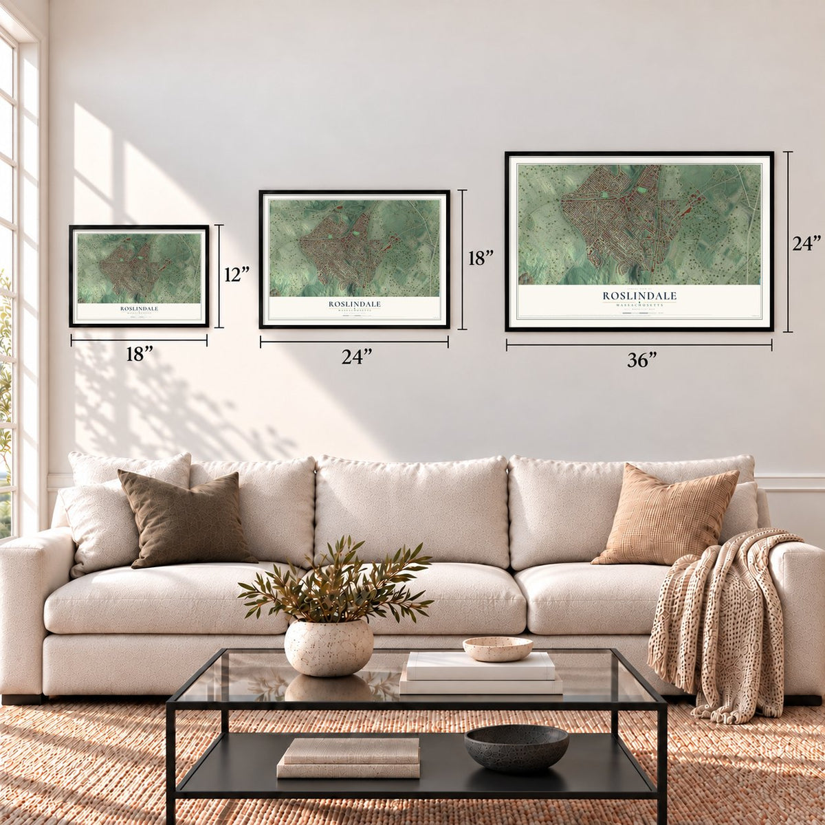

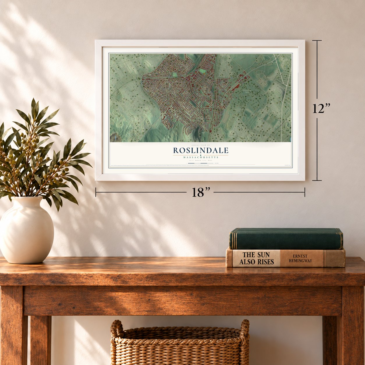

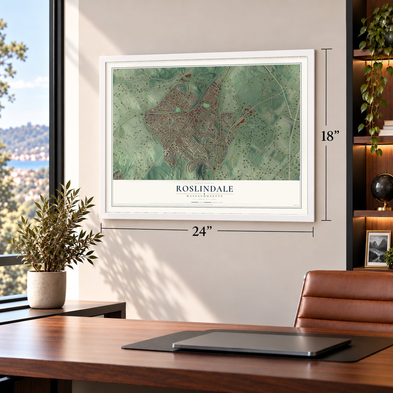

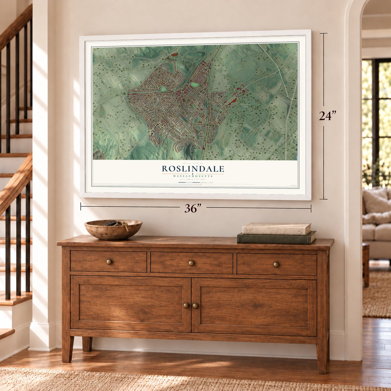

Free U.S. delivery 7 to 10 days after you order
Roslindale, Massachusetts Map Art
Building by building, with labeled streets and shaded relief.
12" x 18" Archival Matte Print
A Map of Home. A Work of Art.
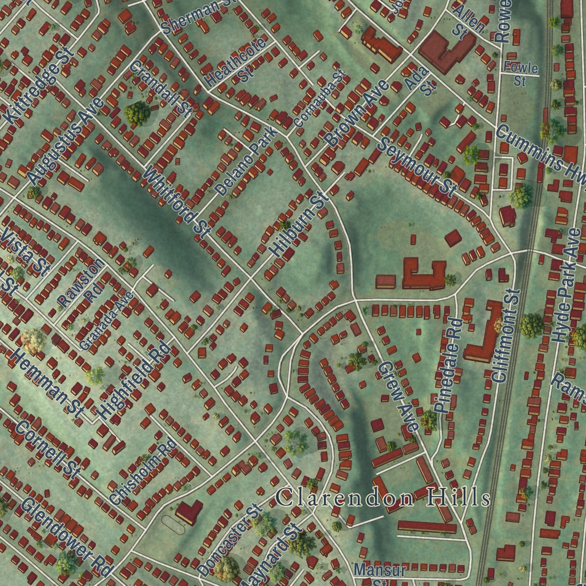
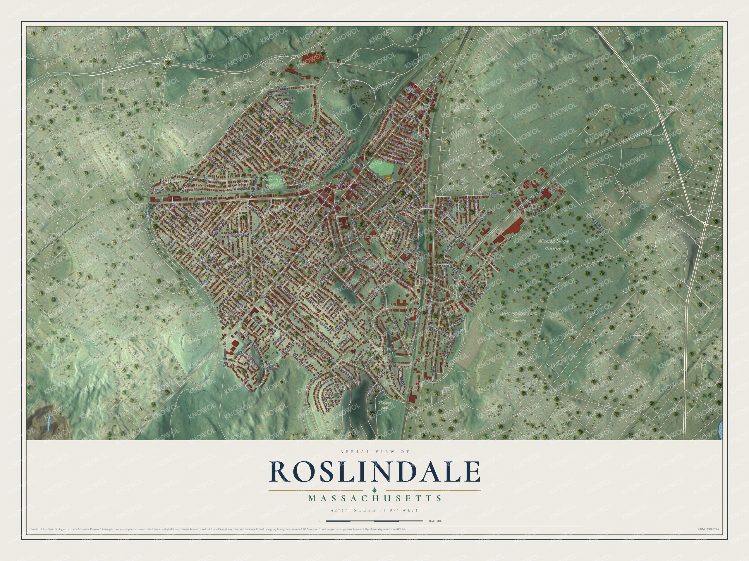
Explore Roslindale, Massachusetts from a whole new perspective. Created using aerial imagery and detailed geographic data, this map captures Roslindale building by building, with labeled streets, familiar landmarks, and shaded topographical relief that highlights the natural contours of the landscape.
Combining modern data with the timeless character of a vintage atlas, this map is just as interesting up close as it is beautiful on the wall. Whether you grew up in Roslindale, spent memorable years there, or call it home today, this unique map is a great way to celebrate a place that means something to you. Zoom in on the preview to look for your street, and then order a print to put your memories on the wall.
Three ways to hang it
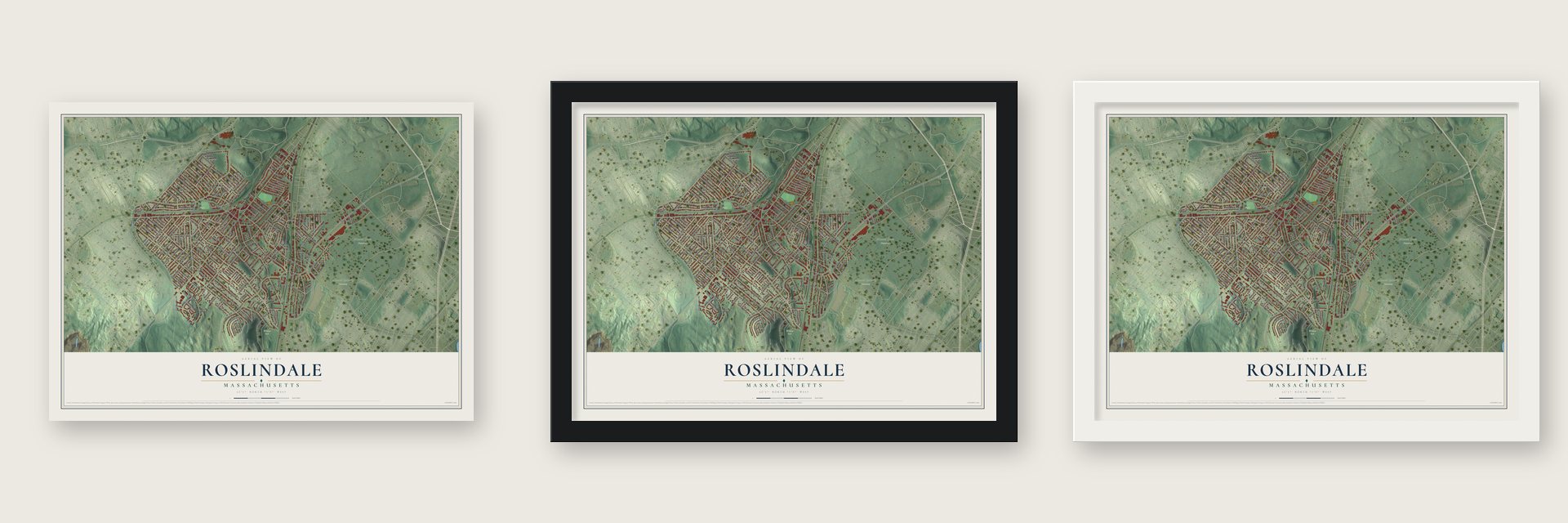
Unframed archival matte, a black wood frame or a white wood frame.
Up close
Geography Worth Displaying
This map was created using accurate cartographic data and authoritative geographic sources, including the U.S. Geological Survey and the Census Bureau. The map brings together terrain, waterways, roads, and building detail. The majority of the streets are labeled, houses are accurately depicted, and the topography is derived from government sources. Combining local data with carefully composed color and shading leads to this beautifully detailed Roslindale artwork for your wall.
Rather than simply showing street outlines, we’ve included as many of the street names as we could reasonably fit on the map while keeping their names legible. Zoom in on the high resolution preview to see exactly what’s on the map. We truly set out to create a statement piece for anyone who loves Roslindale. So whether it’s for you, or a gift for someone you love, we hope this map of Roslindale brings back fond memories.
Read the story behind this map: Detailed Map of Roslindale, Massachusetts.

Find your street
Names on the Roslindale map
Every name below is printed on this map. Look for your street, your school, the park where you played, or the pond down the road.
Places and landmarks8
- Mount Calvary Cemetery
- Mount Hope Cemetery
- Fallon Field
- Weider Park
- Bellevue
- Mount Hope
- Clarendon Hills
- Delano Park
Streets and roads199
- Centre Street
- Grew Avenue
- Guernsey Street
- Washington Street
- American Legion Highway
- Beech Street
- South Street
- Poplar Street
- Canterbury Street
- Metropolitan Avenue
- Cummins Highway
- Cornell Street
- Hyde Park Avenue
- Belgrade Avenue
- Walter Street
- Kittredge Street
- Walworth Street
- Blue Ledge Drive
- Florence Street
- Roslindale Avenue
- Orange Street
- Mount Hope Street
- Sycamore Street
- Newburg Street
- Brown Avenue
- Navarre Street
- Aldrich Street
- Clare Avenue
- Dale Street
- Whitford Street
Show all 199 streets
- Durnell Avenue
- Birch Street
- Rowe Street
- Colberg Avenue
- Tyndale Street
- Glendower Road
- Walk Hill Street
- Hewlett Street
- Sherwood Street
- Farquhar Street
- Wellsmere Road
- Augustus Avenue
- Fletcher Street
- Ardale Street
- Cliffmont Street
- Albano Street
- Hawthorne Street
- Knoll Street
- Congreve Street
- Maynard Street
- Fairview Street
- Glencliff Road
- Weld Street
- Robert Street
- Selwyn Street
- Hemman Street
- Paine Street
- Bateman Street
- Fawndale Road
- Beryl Street
- Bradfield Avenue
- Seymour Street
- Ainsworth Street
- Hilburn Street
- Stella Road
- Pinehurst Street
- Westbourne Street
- Averton Street
- Montvale Street
- Hillock Street
- Archdale Road
- Cohasset Street
- Brookway Road
- Eastbourne Street
- Harding Road
- Pinedale Road
- Cedrus Avenue
- Brook Street
- Hautevale Street
- Granfield Avenue
- Stellman Road
- Prospect Avenue
- Mendum Street
- Bradwood Street
- Bradeen Street
- Lorraine Street
- Arborough Road
- Conway Street
- Firth Road
- Brookdale Street
- Hazelmere Road
- Ethel Street
- Arborfield Road
- Bexley Road
- Charme Avenue
- Ashfield Street
- Nikisch Avenue
- Symmes Street
- Murray Hill Road
- Jewett Street
- Zeller Street
- Primrose Street
- Iona Street
- Cotton Street
- June Street
- Ramsdell Avenue
- Rosecliff Street
- Coniston Road
- Denton Terrace
- Winton Street
- Philbrick Street
- Robken Road
- Corinth Street
- Liszt Street
- Highfield Road
- Brahms Street
- Hayden Street
- Manning Street
- Jeffers Street
- Whipple Avenue
- Leniston Street
- Amherst Street
- Tafthill Terrace
- Hayes Road
- Lindall Street
- Weeks Avenue
- Sheldon Street
- Byrd Avenue
- Alder Street
- Havana Street
- Burley Street
- Mahler Street
- Tappan Street
- Wilmot Street
- Vista Street
- West Roxbury Parkway
- Mount Calvary Road
- Neponset Avenue
- Beechland Circle
- Highcrest Road
- Grew Hill Road
- Starbird Avenue
- Chisholm Road
- Doncaster Street
- Sheffield Road
- East Boundary Road
- Bradstreet Avenue
- Mansur Street
- Marion Street
- Highcrest Terrace
- Rexhame Street
- Basile Street
- Destefano Road
- Fresno Street
- Grandview Street
- Ada Street
- Sammett Avenue
- Colgate Road
- Heathcote Street
- Maria Lane
- Sherman Street
- Rawston Road
- Windham Road
- Crandall Street
- Rhoda Street
- Jalleison Street
- Eldon Street
- New Park Avenue
- Lesher Street
- Harrison Street
- Allen Street
- Bridge Street
- Basto Terrace
- Eugenia Road
- Holly Road
- Hobson Street
- Lee Hill Road
- Johnswood Road
- Mendelssohn Street
- South Walter Street
- Legion Place
- Cornauba Street
- Curley Street
- Granada Avenue
- Metcalf Street
- Blakemore Street
- Blue Ledge Terrace
- Havey Street
- Franklin Place
- Wilkins Place
- Fowle Street
- Colbert Street
- Alpheus Road
- Atherton Avenue
- Anawan Avenue
- Brookway Terrace
- Mosgrove Avenue
- Aldwin Road
- Palfrey Street
Names are listed as they appear on the printed map. Zoom into the product photos to find them.
About Roslindale, Massachusetts
In the 1860s locals called this place South Street Crossing, for the railroad crossing at South Street. The government rejected that name for a post office. John Pierce, a well-traveled resident, said the hills reminded him of Roslin, Scotland. He joined Roslin with dale, and Roslindale became the name.
On March 1, 1929, over 5,000 people watched Ashland Street become Cummins Highway. It honored Father John Cummins, first pastor of Sacred Heart Church, who blessed the road that day. It was the first road in Boston called a highway.
Keep exploring Massachusetts
Roslindale is one of 470 Massachusetts towns we've mapped. Every dot on the map is a print of its own.
The search covers every state, Massachusetts first.
Near Roslindale
Order 2 or more town maps and save 10%. Shown in the size and finish you picked above, so they hang as a set.
- Jamaica Plain 12" x 18" / Archival Matte Print $39.99
- West Roxbury 12" x 18" / Archival Matte Print $39.99
- Mattapan 12" x 18" / Archival Matte Print $39.99


More maps nearby: Hyde Park, Brookline, Roxbury, Dorchester and Mission Hill.
The art of mapping a place
How This Map Was Made
Real places. Remarkable detail. Discover the layers that turn geographic data into a map of home.

The view from above
Aerial imagery reveals the character of the land: woodland, open fields, and the patterns of a place.

The shape of the land
Elevation data brings hills, valleys, and subtle changes in the landscape into view.

The details of home
Roads, waterways, and building footprints come together to make the map feel unmistakably local.

Geography becomes art
Considered color, shading, and typography bring the layers together in a map made for your wall.


Process illustrated with Mendon, Massachusetts. Aerial imagery: USDA NAIP. Terrain: USGS 3D Elevation Program. Map details and finished artwork: KNOWOL.
The Details
About This Print
Choose an archival matte print, or a black or white Ayous wood frame. The archival matte print is unframed.
Select your size and finish above to see the matching product image and price.
Materials & Craftsmanship
A contemporary map with the character of a classic atlas, printed on archival matte paper. Optional frames are made from Ayous wood.
Your printed map does not include the watermark shown in the full-map preview.
Shipping & Delivery
Free shipping within the United States. Every print is made to order in the USA.
Buying a gift? Add a note in your cart and we'll include it. We never put prices in the package.
Prints ship within 2 to 3 business days. Allow 7 to 10 days total from ordering for delivery. Timing may vary during holidays or periods of high order volume.
Read our shipping policy.
Returns and damaged prints
Each print is made to order. Change-of-mind refunds are not available after production.
If your print arrives damaged, misprinted or incorrect, contact support@knowol.com within 30 days of receiving it. Include your order number, photos and a description of the issue.
Read our full refund and replacement policy. For questions about your order, email support@knowol.com.