


Search for another town





Free U.S. delivery 7 to 10 days after you order
Monroe, Connecticut Map Art
Building by building, with labeled streets and shaded relief.
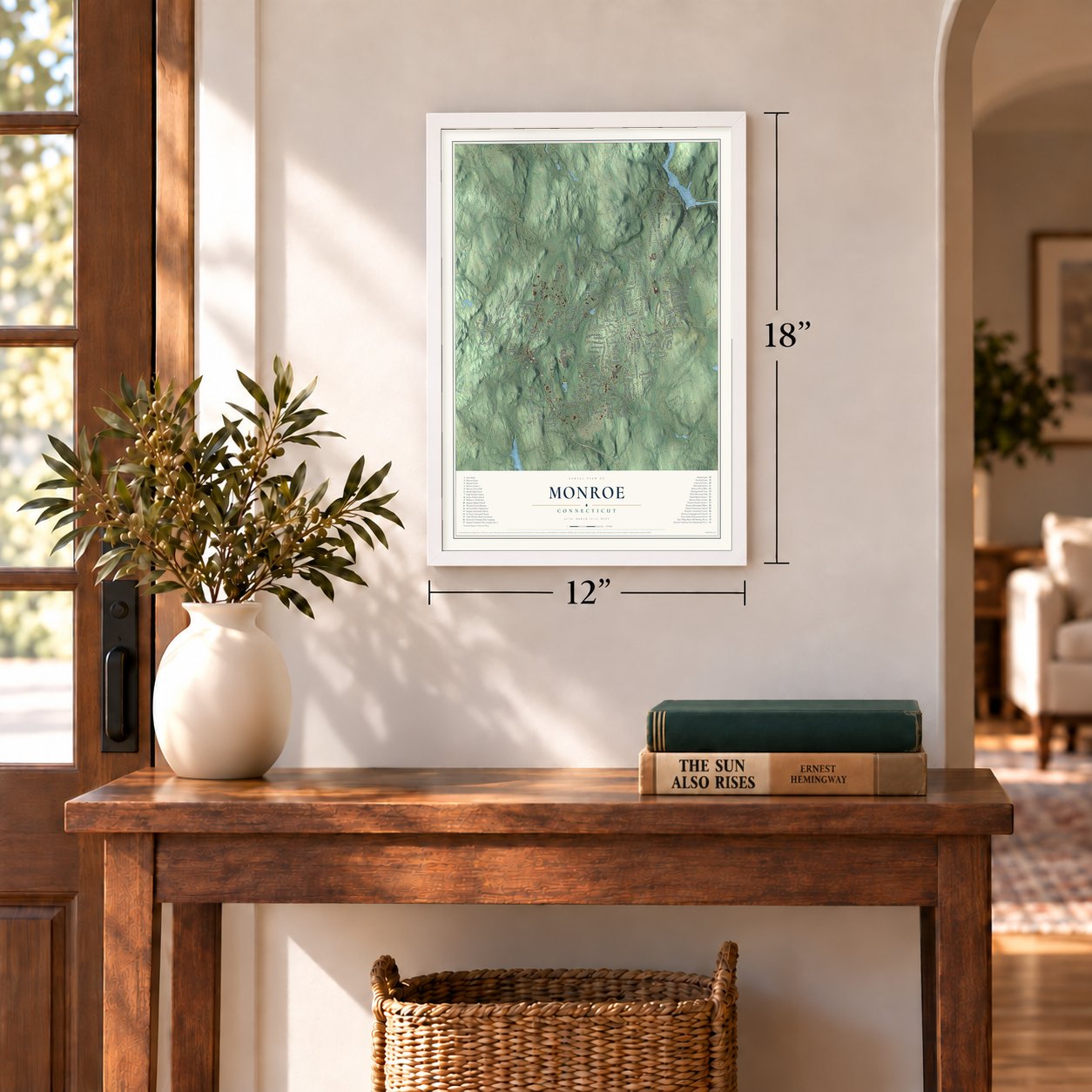
12" x 18" Archival Matte Print
A Map of Home. A Work of Art.
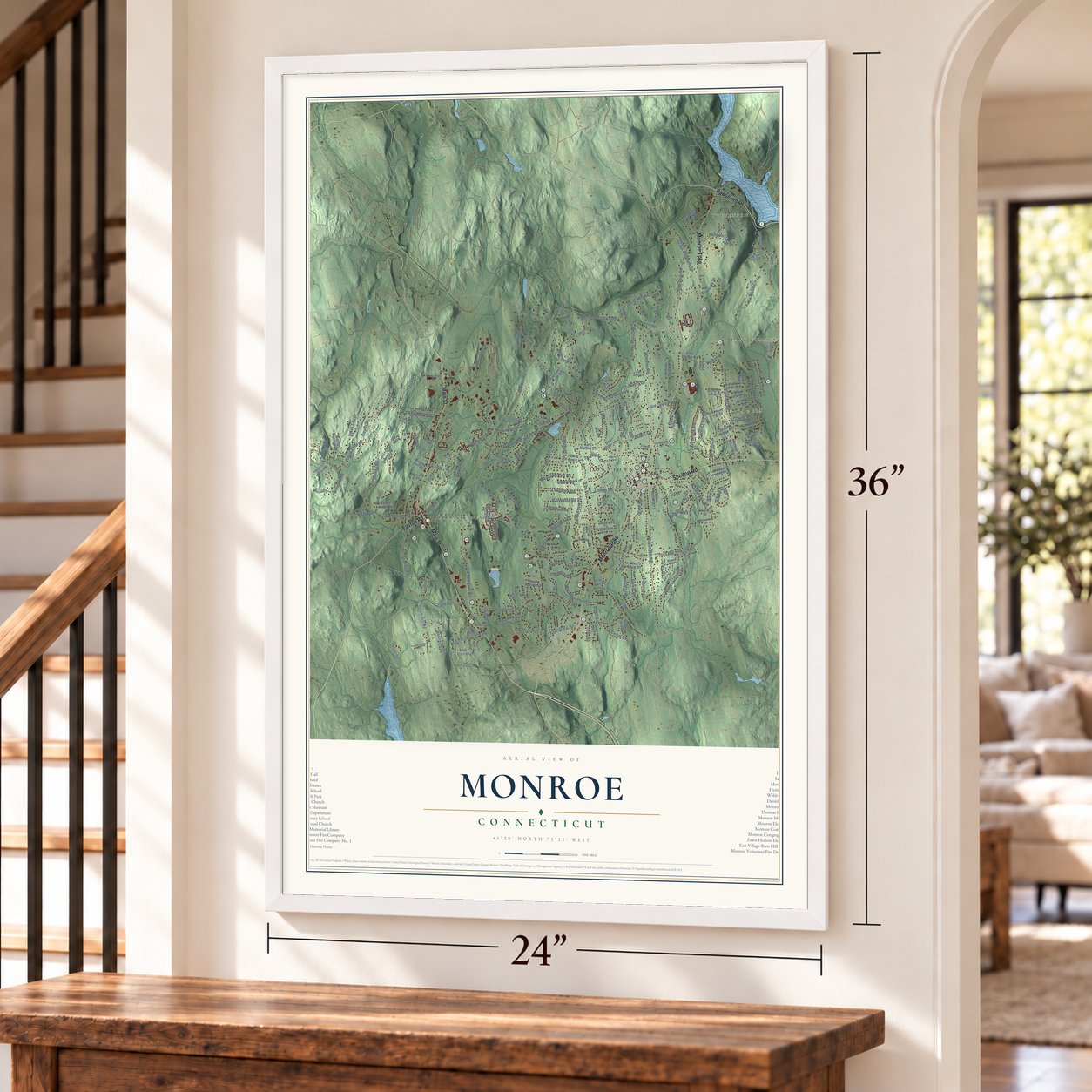
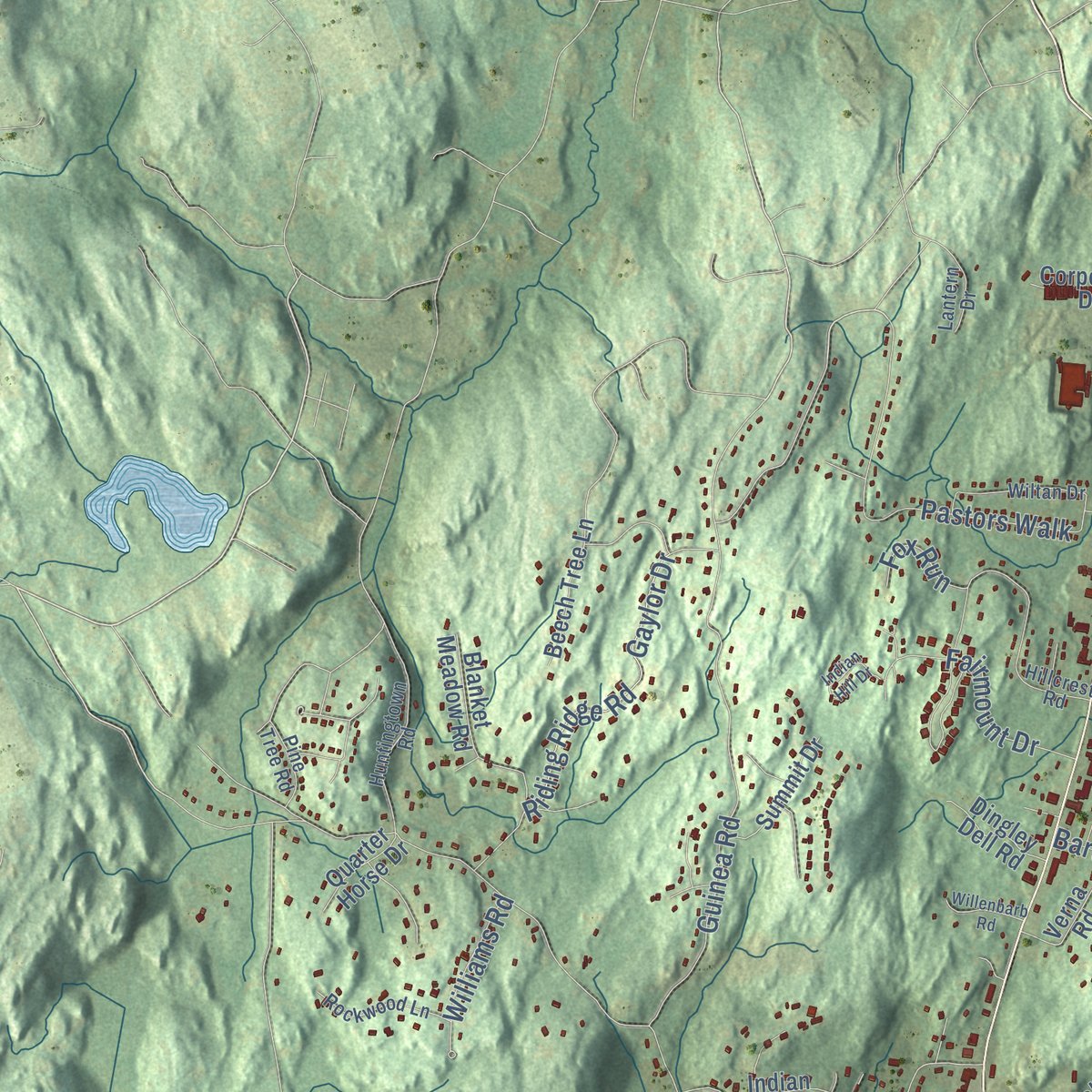
Explore Monroe, Connecticut from a whole new perspective. Created using aerial imagery and detailed geographic data, this map captures Monroe building by building, with labeled streets, familiar landmarks, and shaded topographical relief that highlights the natural contours of the landscape.
Combining modern data with the timeless character of a vintage atlas, this map is just as interesting up close as it is beautiful on the wall. Whether you grew up in Monroe, spent memorable years there, or call it home today, this unique map is a great way to celebrate a place that means something to you. Zoom in on the preview to look for your street, and then order a print to put your memories on the wall.

Three ways to hang it
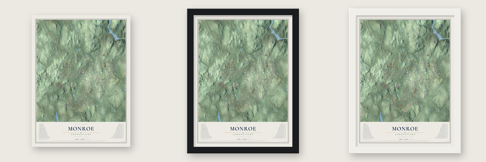
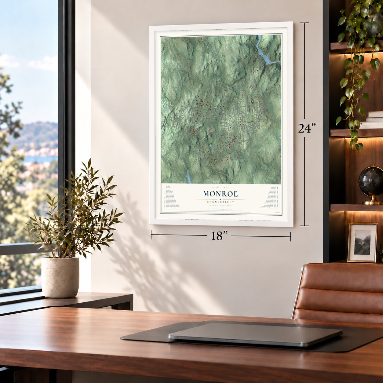
Unframed archival matte, a black wood frame or a white wood frame.
Up close
Geography Worth Displaying
This map was created using accurate cartographic data and authoritative geographic sources, including the U.S. Geological Survey (USGS) and FEMA. The map brings together terrain, waterways, roads, and building detail. The majority of the streets are labeled, houses are accurately depicted, and the topography is derived from government sources. Combining local data with carefully composed color and shading leads to this beautifully detailed Monroe artwork for your wall.
Rather than simply showing street outlines, we’ve included as many of the street names as we could reasonably fit on the map while keeping their names legible. Zoom in on the high resolution preview to see exactly what’s on the map. We truly set out to create a statement piece for anyone who loves Monroe. So whether it’s for you, or a gift for someone you love, we hope this map of Monroe brings back fond memories.
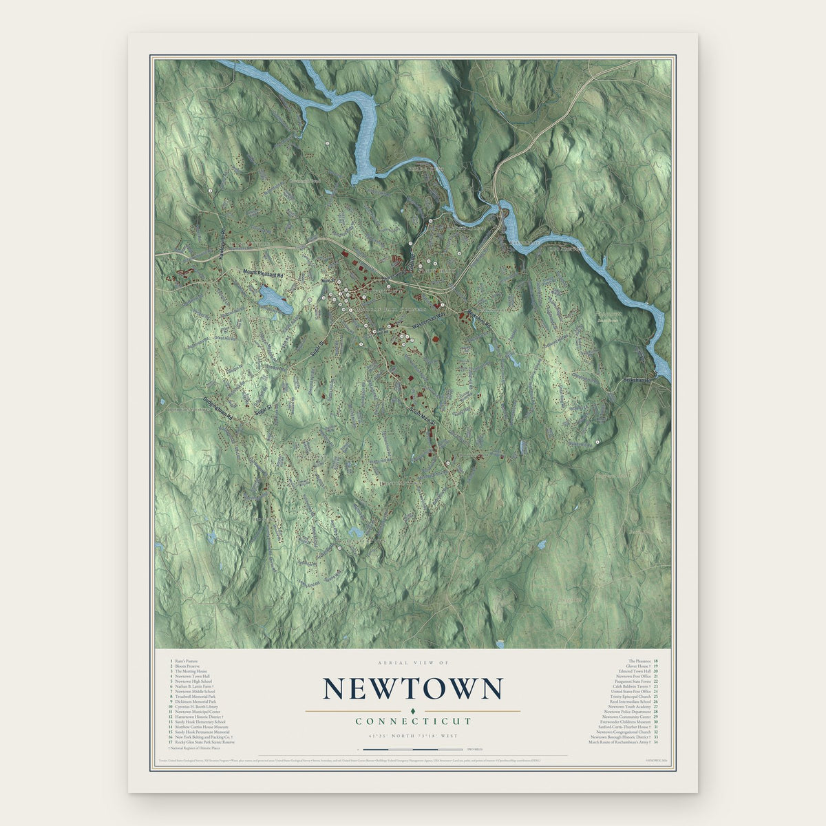
Explore the full map of Monroe, Connecticut and read about the local places it shows.

Find your street
Names on the Monroe map
Every name below is printed on this map. Look for your street, your school, the park where you played, or the pond down the road.
Places and landmarks11
- Downtown
- Stevenson
- Stepney
- East Village
- Bagburn Hill
- Barn Hill
- Bugg Hill
- Cedar Hill
- Big Lake
- Cogers Pond
- Upper Stepney
Streets and roads217
- Shelton Road
- Roosevelt Drive
- Monroe Turnpike
- Main Street
- Easton Road
- Moose Hill Road
- Hurd Avenue
- Hammertown Road
- Wheeler Road
- Elm Street
- Fan Hill Road
- Pepper Street
- Cutlers Farm Road
- Purdy Hill Road
- Barn Hill Road
- Webb Circle
- Hattertown Road
- Old Zoar Road
- Cross Hill Road
- Garder Road
- Judd Road
- Stanley Road
- Turkey Roost Road
- Guinea Road
- Pastors Walk
- Old Newtown Road
- Old Fish House Road
- Jockey Hollow Road
- Northbrook Drive
- Flint Ridge Road
Show all 217 streets
- Bagburn Road
- Bugg Hill Road
- Enterprise Drive
- Swendsen Drive
- Gaylor Drive
- Hiram Hill Road
- Osborn Lane
- Riding Ridge Road
- Richards Drive
- Lynn Drive
- Lazy Brook Road
- Hillside Lane
- Blake Road
- Far Horizon Drive
- Walnut Street
- Mill Brook Terrace
- Meadows End Road
- Greenwood Lane
- Wells Road
- Spring Hill Road
- Longview Road
- Crown View Drive
- Fairmount Drive
- Grist Mill Road
- Harvester Road
- Velvet Street
- Gay Bower Road
- Bart Road
- Ripton Ridge
- Forest Road
- Benedict Road
- Knorr Road
- Old Castle Drive
- Oak Wood Drive
- Hannah Lane
- Mustang Drive
- Field Rock Road
- Doris Drive
- Crossbow Lane
- Maple Drive
- Williams Road
- Bellevale Street
- Heather Lane
- Nancy Drive
- Lovers Lane
- Cedar Lane
- East Dale Drive
- Pinto Lane
- Nickel Place
- Laurel Drive
- Trailside Drive
- Craig Drive
- Winthrop Place
- Fox Run
- Arbor Road
- Senior Drive
- Knapp Street
- River Drive
- Twin Brook Terrace
- East Village Road
- Cottage Street
- Church Street
- Josies Ring Road
- Blanket Meadow Road
- Highridge Drive
- Settlers Farm Road
- Wild Horse Court
- William Henry Drive
- Ridgedale Road
- Secret Hollow Road
- Camelot Drive
- Blue Hills Road
- Red Coat Lane
- Old Colony Road
- Holly Place
- Old Fawn Hill Road
- Karen Drive
- Crescent Place
- Harmony Lane
- Indian Ledge Road
- Stable Ridge Road
- Beech Tree Lane
- Summit Drive
- Sunset Hill Drive
- Crestwood Road
- Verna Road
- Old Coach Road
- Timothy Hill Road
- East Maiden Lane
- Valley View Road
- Summer View Drive
- Captains Hill Road
- Great Ring Road
- Oakmont Trail
- Heritage Drive
- Quarry Ridge Road
- Wispering Pine Road
- Countryside Drive
- Dingley Dell Road
- Stony Brook Drive
- Porters Hill Road
- Patmar Drive
- Hubbell Drive
- Corporate Drive
- Pheasant Lane
- Nelson Brook Road
- Great Hollow Road
- Sentry Hill Road
- Chalk Hill Road
- Quarter Horse Drive
- Deer River Lane
- Teller Road
- Misty Lane
- Squire Road
- Robin Lane
- Surrey Lane
- Boot Shop Lane
- Far Mill Road
- Pamela Drive
- Millo Drive
- Lois Circle
- Mon Tar Drive
- Red Barn Road
- Owl Hill Road
- Fairlea Drive
- Cahill Road
- Jays Road
- Tulip Drive
- May Court
- Joan Drive
- Sage Lane
- High Rock Road
- Bagburn Hill Road
- Hillcrest Road
- Downs Road
- Huntingtown Road
- Wiltan Drive
- Woodlawn Road
- Grindstone Lane
- Christianna Drive
- Rockwood Lane
- Wayne Road
- Ryegate Terrace
- Pepperidge Road
- Autumn Drive
- Woodlawn Drive
- Sunrise Terrace
- Whitewood Drive
- Applegate Lane
- Kimberly Drive
- Morgan Lane
- Farm View Road
- Wood End Road
- Alpine Road
- Pine Tree Road
- Brinsmaid Road
- Block Farm Road
- Manor Drive
- Hawley Lane
- Watch Hill Road
- Lantern Drive
- Israel Hill Road
- Old Highway
- Highland Drive
- Hawthorne Drive
- Partridge Drive
- Whitetail Drive
- Coldspring Road
- Johnson Place
- Greenwood Drive
- Indian Hill Drive
- Glen Hollow Drive
- Bridge Road
- Jeanette Street
- Yankee Hill
- Willenbarb Road
- Deerfield Lane
- Gerardo Drive
- Mayfair Court
- Blakeman Drive
- Founders Lane
- Perry Drive
- Colonial Drive
- Plumer Lane
- Mill Street
- Moss Road
- Lisa Drive
Names are listed as they appear on the printed map. Zoom into the product photos to find them.
About Monroe, Connecticut
Monroe is a town of 18,825 people in Fairfield County, on the Housatonic River. It began as the northern edge of Stratford, whose selectmen got deeds from the Golden Hill Paugussett in 1662 and then bought the remaining northern land in the White Hills Purchase of 1671. Farm families from Stratford and Fairfield started clearing these hills in the early 1700s.
Sunday worship was the law, but about seventy families here lived three to seven miles from the closest meetinghouse. In 1761, 48 men asked for a parish of their own, and in 1762 the General Assembly made them the New Stratford society. The parish became a town in 1823, named for President James Monroe, and on June 16 its first town meeting voted to let pigs roam the common as long as they wore rings in their noses.
“Capt. Moore, being a white-oak and persevering kind of man, held it on its course”
- A ball for French officersOn June 30, 1781, Lauzun's Legion, French cavalry marching with Rochambeau's army toward Yorktown, camped near Monroe Center. That night its officers held a ball at the Daniel Basset House, built in 1775 on today's Monroe Turnpike, probably in its large upstairs room. About 600 soldiers danced on the green, their last party before nearing British-held New York. Deforest, the first storekeeper, later named a son De Lazon for one officer. The house joined the National Register in 2002.
- A meetinghouse slow to finishCapt. Joseph Moore, whose home stood at the green's northeast corner, donated the ground for the green and the first meetinghouse and kept the work moving. The frame went up in June 1769, but so many young men were off fighting the Revolution that finishing it took about seventeen years. The present Congregational church was raised in July 1847 and dedicated that December, at a cost of $2,650.
- Sojourner Truth on Stepney GreenUpper Stepney's militia drilled on a field bought for the public in 1817 for $140. There, in 1843, Millerites expecting the Second Coming within weeks held a camp meeting. When the crowd grew frantic, Sojourner Truth calmed it and sent people to their tents to pray; the Monroe Historical Society says she found the power of her own voice that day. In 1861 Elias Howe Jr. and P. T. Barnum rode from Bridgeport and scattered a Copperhead peace rally there.
- Wagons and shirts at StepneyStepney grew along the Bridgeport and Newtown Turnpike after it opened in 1801. When the Housatonic Railroad arrived in 1840, Barnum Curtiss bought half of Captain Leavenworth's mill and later kept the depot store. Before the Civil War the Penfield brothers built wagons and hats came from James Watson McNeil's shop. In 1855 Willis Turney, a tailor, converted his shop into a shirt factory with sewing machines and fourteen or fifteen workers.
- A saltbox from 1730Thomas Hawley, a great-grandson of Stratford's Captain Joseph Hawley, signed the 1761 petition in which 48 men sought a parish of their own. His post-and-beam saltbox farmhouse on Purdy Hill Road dates to 1730, one of the few buildings left from Stepney's first years, and his descendants lived there for another century. The Thomas Hawley House joined the National Register in 1980.
Keep exploring Connecticut
Monroe is one of 382 Connecticut towns we've mapped. Every dot on the map is a print of its own.
The search covers every state, Connecticut first.
Near Monroe
Order 2 or more town maps and save 10%. Shown in the size and finish you picked above, so they hang as a set.
- East Village 12" x 18" / Archival Matte Print $39.99
- Stepney 12" x 18" / Archival Matte Print $39.99
- Botsford 12" x 18" / Archival Matte Print $39.99

More maps nearby: Daniels Farm, Trumbull, Tashua, Sandy Hook and Shelton.
The art of mapping a place
How This Map Was Made
Real places. Remarkable detail. Discover the layers that turn geographic data into a map of home.

The view from above
Aerial imagery reveals the character of the land: woodland, open fields, and the patterns of a place.

The shape of the land
Elevation data brings hills, valleys, and subtle changes in the landscape into view.

The details of home
Roads, waterways, and building footprints come together to make the map feel unmistakably local.

Geography becomes art
Considered color, shading, and typography bring the layers together in a map made for your wall.


Process illustrated with Mendon, Massachusetts. Aerial imagery: USDA NAIP. Terrain: USGS 3D Elevation Program. Map details and finished artwork: KNOWOL.
The Details
About This Print
Choose an archival matte print, or a black or white Ayous wood frame. The archival matte print is unframed.
Select your size and finish above to see the matching product image and price.
Materials & Craftsmanship
A contemporary map with the character of a classic atlas, printed on archival matte paper. Optional frames are made from Ayous wood.
Your printed map does not include the watermark shown in the full-map preview.
Shipping & Delivery
Free shipping within the United States. Every print is made to order in the USA.
Buying a gift? Add a note in your cart and we'll include it. We never put prices in the package.
Prints ship within 2 to 3 business days. Allow 7 to 10 days total from ordering for delivery. Timing may vary during holidays or periods of high order volume.
Read our shipping policy.
Returns and damaged prints
Each print is made to order. Change-of-mind refunds are not available after production.
If your print arrives damaged, misprinted or incorrect, contact support@knowol.com within 30 days of receiving it. Include your order number, photos and a description of the issue.
Read our full refund and replacement policy. For questions about your order, email support@knowol.com.