
Search for another town




Free U.S. delivery 7 to 10 days after you order
Mount Vernon, North Carolina Map Art
Building by building, with labeled streets and shaded relief.
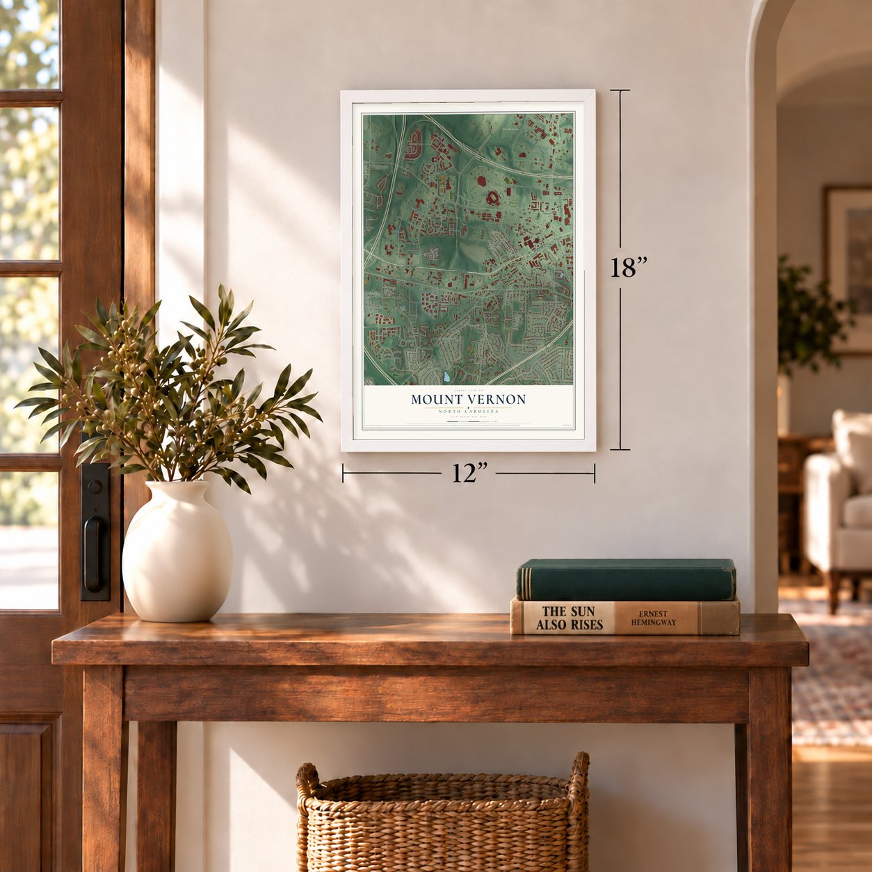
12" x 18" Archival Matte Print
A Map of Home. A Work of Art.
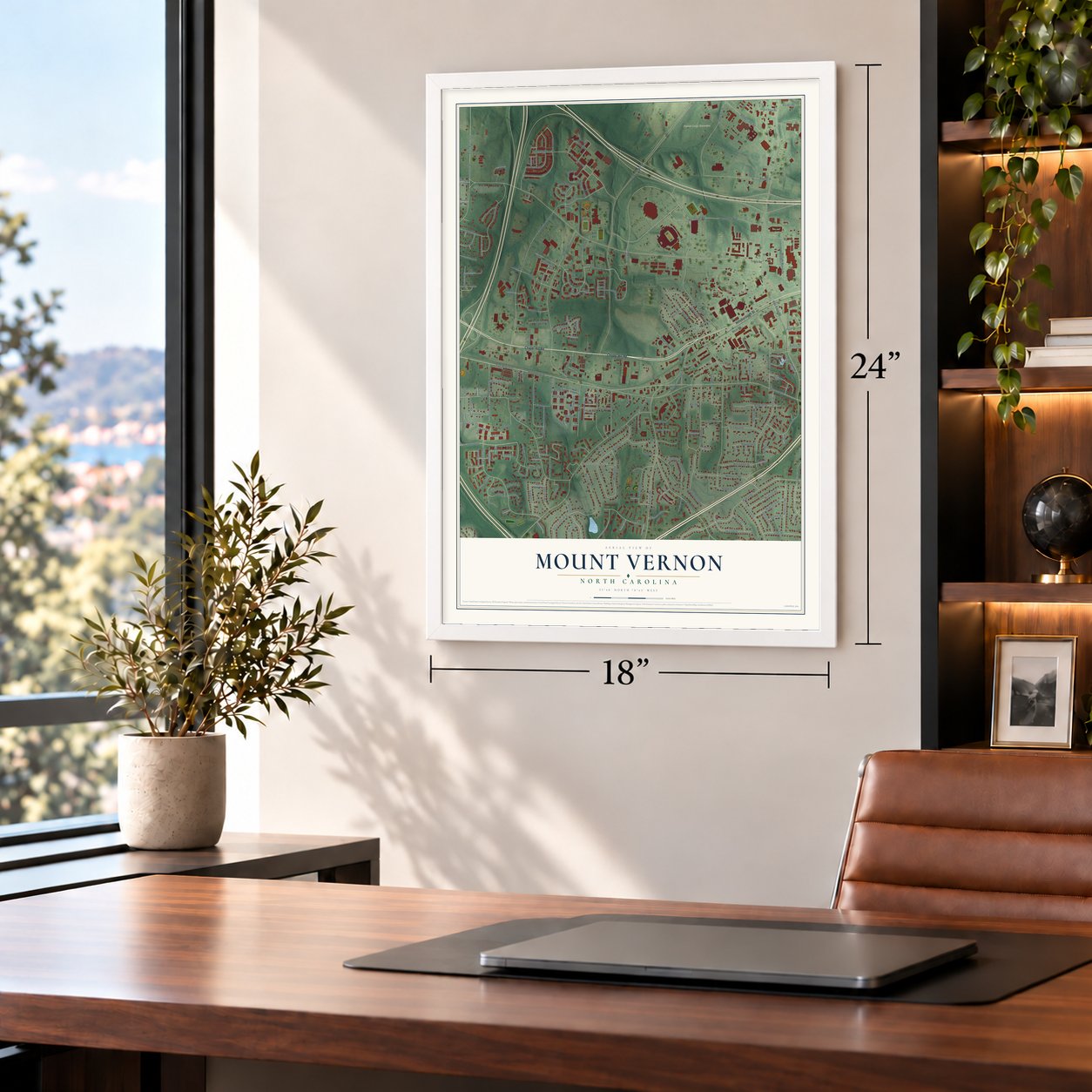
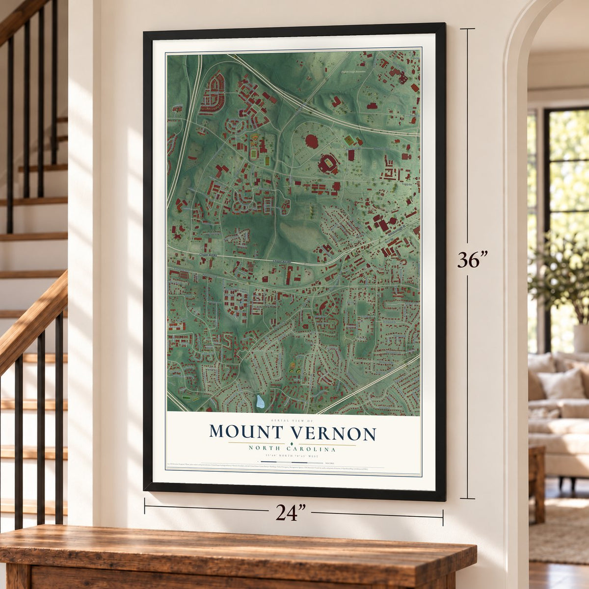
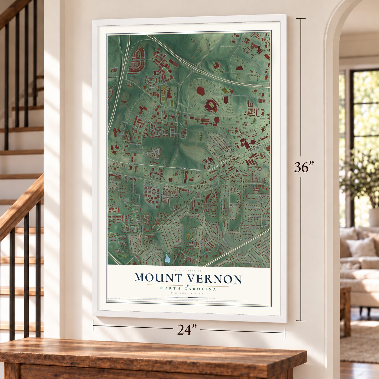
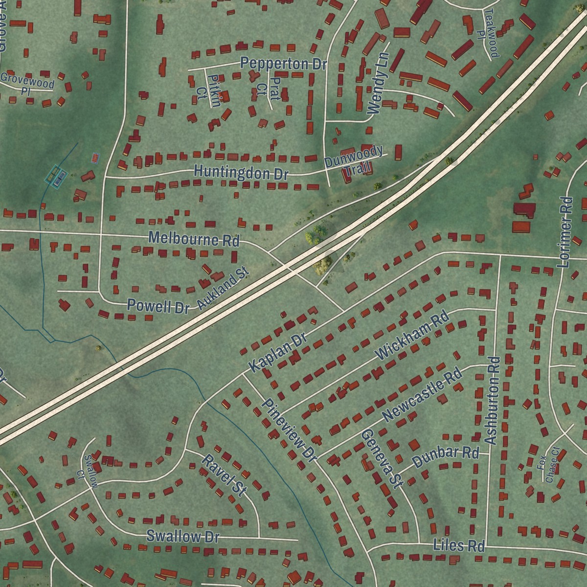
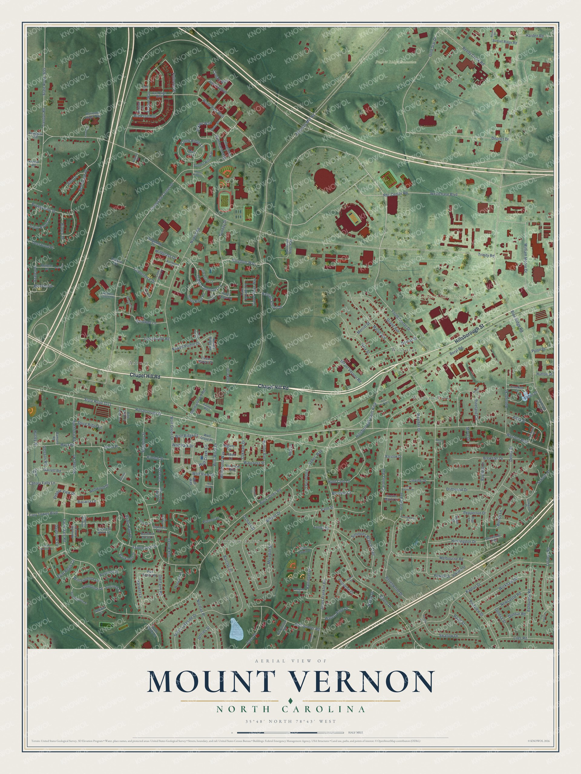
Explore Mount Vernon, North Carolina from a whole new perspective. Created using aerial imagery and detailed geographic data, this map captures Mount Vernon building by building, with labeled streets, familiar landmarks, and shaded topographical relief that highlights the natural contours of the landscape.
Combining modern data with the timeless character of a vintage atlas, this map is just as interesting up close as it is beautiful on the wall. Whether you grew up in Mount Vernon, spent memorable years there, or call it home today, this unique map is a great way to celebrate a place that means something to you. Zoom in on the preview to look for your street, and then order a print to put your memories on the wall.
Three ways to hang it
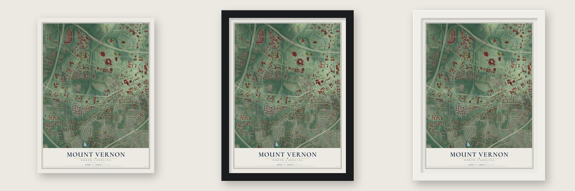
Unframed archival matte, a black wood frame or a white wood frame.
Up close
Geography Worth Displaying
This map was created using accurate cartographic data and authoritative geographic sources, including the U.S. Geological Survey and the Census Bureau. The map brings together terrain, waterways, roads, and building detail. The majority of the streets are labeled, houses are accurately depicted, and the topography is derived from government sources. Combining local data with carefully composed color and shading leads to this beautifully detailed Mount Vernon artwork for your wall.
Rather than simply showing street outlines, we’ve included as many of the street names as we could reasonably fit on the map while keeping their names legible. Zoom in on the high resolution preview to see exactly what’s on the map. We truly set out to create a statement piece for anyone who loves Mount Vernon. So whether it’s for you, or a gift for someone you love, we hope this map of Mount Vernon brings back fond memories.
Read the story behind this map: Detailed Map of Mount Vernon, North Carolina.

Find your street
Names on the Mount Vernon map
Every name below is printed on this map. Look for your street, your school, the park where you played, or the pond down the road.
Places and landmarks6
- North Carolina State Fairgrounds
- Prairie Ridge Ecostation
- Asbury
- Fairview Acres
- Western Park
- Westover
Streets and roads235
- Chapel Hill Road
- Hillsborough Street
- Trinity Commons Lane
- Western Boulevard
- State Road 1011
- Kingdom Way
- Raleigh School Drive
- Fullerton Place
- Trinity Road
- Wade Park Boulevard
- Edwards Mill Road
- Blue Ridge Road
- Corporate Center Drive
- Buck Jones Road
- Bashford Road
- Powell Drive
- Nowell Road
- Jones Franklin Road
- Kaplan Drive
- Carolina Avenue
- Farm Gate Road
- William Moore Drive
- Beryl Road
- Rbc Center Road
- Athens Drive
- Wilmot Drive
- Reedy Creek Road
- Youth Center Drive
- Red Grape Drive
- Deboy Street
Show all 235 streets
- Gold Star Drive
- Rodessa Run
- State Road 1655
- Trenton Road
- Melbourne Road
- District Drive
- Lundy Drive
- Ravenwood Drive
- South Lakeside Drive
- Grand Avenue
- Singleton Street
- Marsh Avenue
- Grove Avenue
- Schaub Drive
- Lorimer Road
- Oak Run Drive
- Barringer Drive
- Pineland Circle
- Creek Ridge Lane
- Vann Street
- Meredith Street
- Ashburton Road
- Wolf Wood Drive
- Fort Sumter Road
- Brewster Drive
- Saddle Seat Drive
- Westchase Boulevard
- Wildgrass Drive
- Barclay Drive
- Hunt Club Lane
- Wolf Creek Circle
- Pineview Drive
- Wickham Road
- Wolf View Drive
- Hillsborough Saint Rmp
- Crafton Way
- Burton Avenue
- Norman Place
- Saint Regis Circle
- Sunpointe Drive
- Daybrook Circle
- Driftwood Drive
- Gannett Street
- Wolf Green Drive
- Swallow Drive
- Liles Road
- Huntingdon Drive
- Gary Street
- Sandwell Lane
- Irelan Drive
- Whitehurst Way
- Simmons Branch Trail
- Heather Drive
- Newcastle Road
- Conference Drive
- Waycross Street
- Old Farm Road
- Altha Street
- Dorcas Street
- Dana Drive
- Brandywine Drive
- Myra Road
- Nowell Pointe Drive
- Harvest Lane
- Sunday Drive
- Jessica Boulevard
- Canary Falls Lane
- Garrett Road
- Mount Vernon Road
- Cary Towne Boulevard
- Acklen Way
- Germantown Road
- Pepperton Drive
- Strother Road
- Merritt Street
- Waters Edge Drive
- Winterpointe Lane
- Summerford Drive
- Redwood Drive
- Faber Drive
- Harden Road
- Geneva Street
- Wendy Lane
- Linville Drive
- Lincolnville Road
- Bayfield Drive
- Bacarra Lane
- Bridle Path Drive
- Ravel Street
- Portree Place
- Oakdale Drive
- Vino Drive
- Azalea Drive
- Crosby Way
- Wolf Ridge Court
- Spice Ridge Lane
- Bianco Drive
- Pebble View Drive
- Deerwood Place
- Pirouette Court
- Blanche Drive
- Dunbar Road
- Jeffries Street
- Kimbal Street
- Xebec Way
- Glosson Road
- Bluebird Court
- Pylon Drive
- Wolf Park Drive
- Hutton Street
- Hailey Drive
- Inona Place
- Orchard Street
- Moye Drive
- Hurley Street
- Red Lane
- Crescent Moon Court
- Summit Hills Way
- State Road 1462
- Trinity Ridge Road
- Blacksmith Drive
- Ridgewalk Drive
- Trinity Woods Drive
- Barstow Drive
- Horizons Hope Way
- Lillington Drive
- Westcliff Court
- Hurricane Alley Way
- Garnet Ridge Way
- Trinity Chase Lane
- Crockett Court
- Sunset Ridge Road
- Van Page Boulevard
- Fieldspring Lane
- Lake Moraine Place
- Rail Fence Road
- Suncreek Court
- Westcreek Place
- Meredith Anne Court
- South Valley Court
- Cedar Waters Drive
- Mullens Drive
- Charleston Road
- Scarlet Maple Drive
- Aukland Street
- Tebell Lane
- Van Liew Way
- Hooker Drive
- Deer Haven Drive
- Pine Limb Lane
- Crimson Cross Court
- Dunwoody Trail
- Director Circle
- Arrington Road
- Bashford Crest Lane
- Wolf Grove Place
- Ardaral Lane
- Supreme Drive
- Nowell Ridge Road
- Arnold Road
- Wolf Way
- Hegarty Terrace
- Ramona Road
- Prat Court
- Godwin Court
- Pitkin Court
- Trinity Village Lane
- Summerpointe Place
- Beeler Road
- Daimler Way
- Grovewood Place
- Westpine Court
- Cedar Grove Drive
- Caprice Court
- Northern Telecom Place
- Teakwood Place
- Rochester Drive
- Jefferson Towne Drive
- Atrium Drive
- Bowery Drive
- Canal Drive
- Amber Ridge Lane
- Bromwich Lane
- Sunny Meadow Lane
- Cedar Downs Drive
- Handsworth Lane
- Bouree Circle
- Chesthill Drive
- Thicket Hill Lane
- Merendino Street
- Trinity Pine Lane
- Delbarton Court
- Pine Stump Lane
- Swallow Court
- Fox Chase Court
- Appleton Drive
- Etta Burke Court
- Grove Estates Terrace
- Alercia Court
- Hospice Circle
- Mullins Drive
- Barefoot Court
- Spiedie Court
- Wolf Glen Court
- Cornell Place
Names are listed as they appear on the printed map. Zoom into the product photos to find them.
Keep exploring North Carolina
Mount Vernon is one of 952 North Carolina towns we've mapped. Every dot on the map is a print of its own.
The search covers every state, North Carolina first.
Near Mount Vernon
Order 2 or more town maps and save 10%. Shown in the size and finish you picked above, so they hang as a set.
- Carpenter 12" x 18" / Archival Matte Print $39.99
- Raleigh 12" x 18" / Archival Matte Print $39.99
- Cary 12" x 18" / Archival Matte Print $39.99


More maps nearby: Morrisville, Garner, Apex, Holly Springs and Knightdale.
The art of mapping a place
How This Map Was Made
Real places. Remarkable detail. Discover the layers that turn geographic data into a map of home.

The view from above
Aerial imagery reveals the character of the land: woodland, open fields, and the patterns of a place.

The shape of the land
Elevation data brings hills, valleys, and subtle changes in the landscape into view.

The details of home
Roads, waterways, and building footprints come together to make the map feel unmistakably local.

Geography becomes art
Considered color, shading, and typography bring the layers together in a map made for your wall.


Process illustrated with Mendon, Massachusetts. Aerial imagery: USDA NAIP. Terrain: USGS 3D Elevation Program. Map details and finished artwork: KNOWOL.
The Details
About This Print
Choose an archival matte print, or a black or white Ayous wood frame. The archival matte print is unframed.
Select your size and finish above to see the matching product image and price.
Materials & Craftsmanship
A contemporary map with the character of a classic atlas, printed on archival matte paper. Optional frames are made from Ayous wood.
Your printed map does not include the watermark shown in the full-map preview.
Shipping & Delivery
Free shipping within the United States. Every print is made to order in the USA.
Buying a gift? Add a note in your cart and we'll include it. We never put prices in the package.
Prints ship within 2 to 3 business days. Allow 7 to 10 days total from ordering for delivery. Timing may vary during holidays or periods of high order volume.
Read our shipping policy.
Returns and damaged prints
Each print is made to order. Change-of-mind refunds are not available after production.
If your print arrives damaged, misprinted or incorrect, contact support@knowol.com within 30 days of receiving it. Include your order number, photos and a description of the issue.
Read our full refund and replacement policy. For questions about your order, email support@knowol.com.