


Search for another town





Free U.S. delivery 7 to 10 days after you order
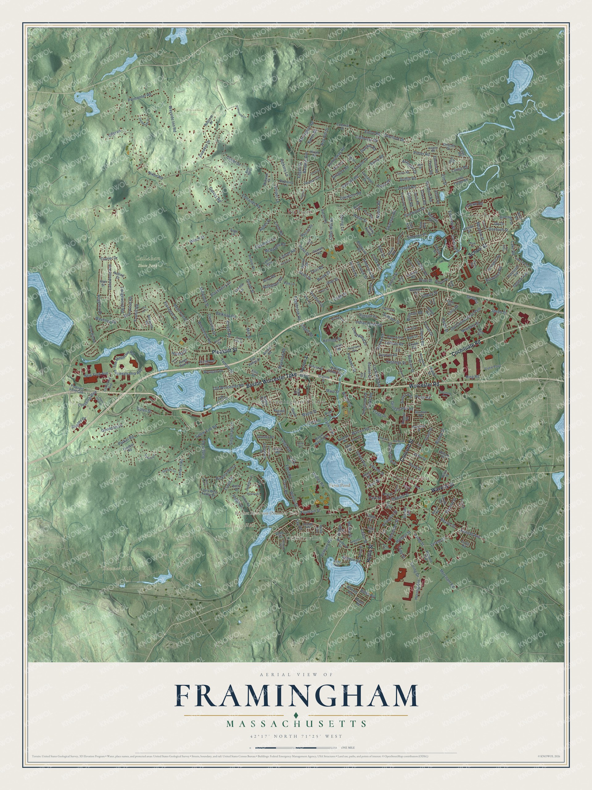
Framingham, Massachusetts Map Art
Building by building, with labeled streets and shaded relief.
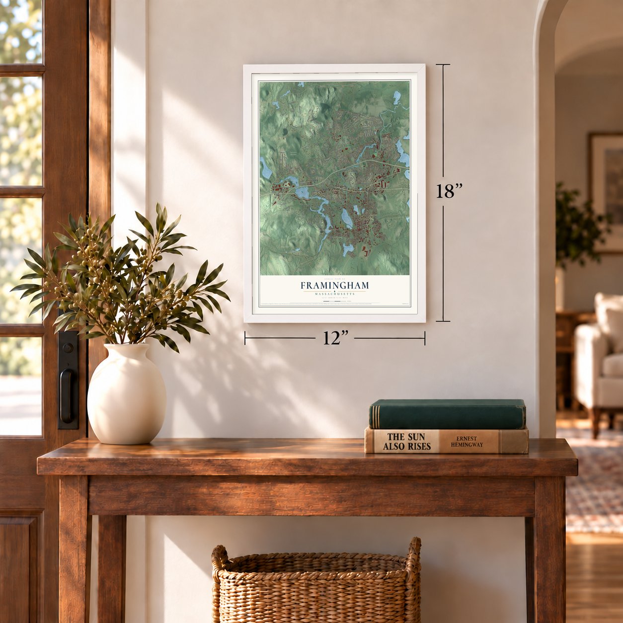
12" x 18" Archival Matte Print
A Map of Home. A Work of Art.
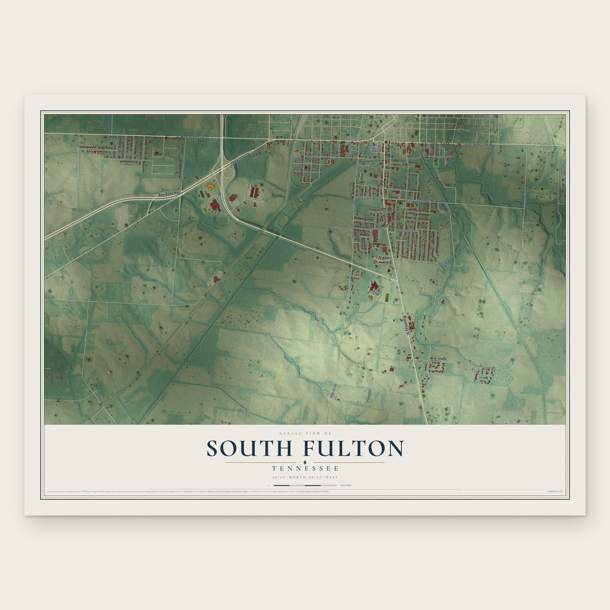
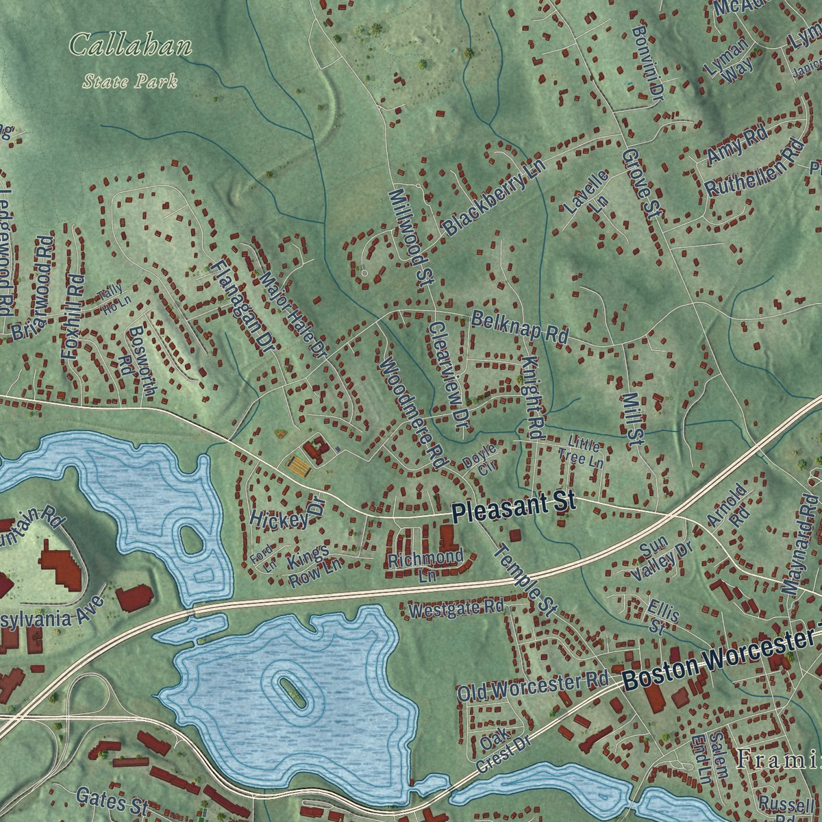
Explore Framingham, Massachusetts from a whole new perspective. Created using aerial imagery and detailed geographic data, this map captures Framingham building by building, with labeled streets, familiar landmarks, and shaded topographical relief that highlights the natural contours of the landscape.
Combining modern data with the timeless character of a vintage atlas, this map is just as interesting up close as it is beautiful on the wall. Whether you grew up in Framingham, spent memorable years there, or call it home today, this unique map is a great way to celebrate a place that means something to you. Zoom in on the preview to look for your street, and then order a print to put your memories on the wall.
Three ways to hang it
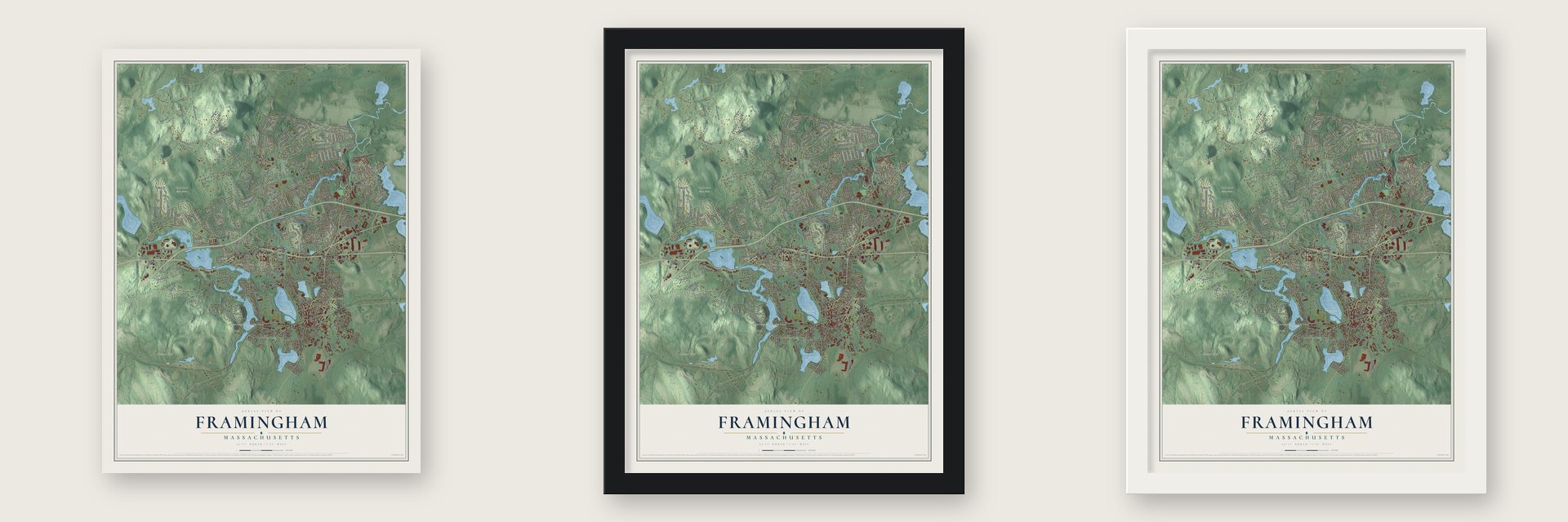
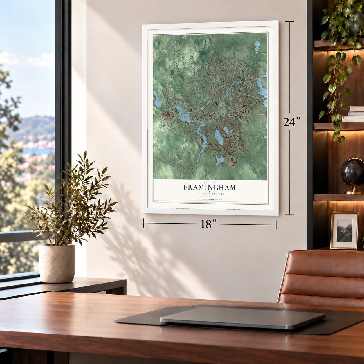
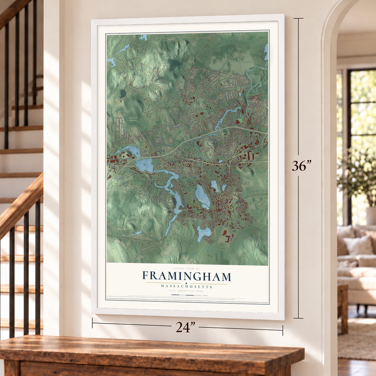
Unframed archival matte, a black wood frame or a white wood frame.
Up close
Geography Worth Displaying
This map was created using accurate cartographic data and authoritative geographic sources, including the U.S. Geological Survey (USGS) and FEMA. The map brings together terrain, waterways, roads, and building detail. The majority of the streets are labeled, houses are accurately depicted, and the topography is derived from government sources. Combining local data with carefully composed color and shading leads to this beautifully detailed Framingham artwork for your wall.
Rather than simply showing street outlines, we’ve included as many of the street names as we could reasonably fit on the map while keeping their names legible. Zoom in on the high resolution preview to see exactly what’s on the map. We truly set out to create a statement piece for anyone who loves Framingham. So whether it’s for you, or a gift for someone you love, we hope this map of Framingham brings back fond memories.
Explore the full map of Framingham, Massachusetts and read about the local places it shows.

Find your street
Names on the Framingham map
Every name below is printed on this map. Look for your street, your school, the park where you played, or the pond down the road.
Places and landmarks12
- Downtown
- Saxonville
- Coburnville
- Ballard Hill
- Banner Hill
- Bare Hill
- Clark Hill
- Farm Pond
- Callahan State Park
- Wittenborg Woods
- Nobscot
- Framingham Center
Streets and roads356
- Concord Street
- Hollis Street
- Worcester Road
- Boston Worcester Turnpike
- Pleasant Street
- Waverly Street
- Cochituate Road
- School Street
- Ring Road
- Beaver Street
- Speen Street
- Leland Street
- Merchant Road
- Kendall Avenue
- Dennison Avenue
- Herring Avenue
- Fountain Street
- Elm Street
- Edgell Road
- Edmands Road
- Grove Street
- Salem End Road
- Central Street
- Old Connecticut Path
- Water Street
- Potter Road
- Winter Street
- Belknap Road
- Franklin Street
- Brook Street
Show all 356 streets
- Union Avenue
- Singletary Lane
- Parker Road
- Nixon Road
- Carter Drive
- Flanagan Drive
- Hemenway Road
- Winch Street
- Wayside Inn Road
- Angelica Drive
- Crossing Boulevard
- Joseph Road
- Lanewood Avenue
- Summer Street
- Grant Street
- Millwood Street
- Bishop Street
- Dudley Road
- Eaton Road
- Gates Street
- Prospect Street
- Garvey Road
- Lockland Avenue
- Parmenter Road
- Baldwin Avenue
- Beacon Street
- Simpson Drive
- Temple Street
- Ledgewood Road
- Badger Road
- Maple Street
- Sloane Drive
- Bethany Road
- Danforth Street
- Overlook Drive
- The Mountain Road
- Irving Street
- Staples Drive
- Griffin Road
- Cherry Street
- Main Street
- Gregory Road
- Bradford Road
- Arlington Street
- Maynard Road
- Loring Drive
- Hastings Street
- Goodnow Lane
- Indian Head Road
- Juniper Lane
- Eden Road
- Walnut Street
- Second Street
- Newbury Street
- Blackberry Lane
- Oakvale Road
- Oxbow Road
- Warren Road
- Claudette Circle
- Fenwick Street
- Donna Road
- Woodmere Road
- Fay Road
- Frost Street
- Lyman Road
- Pinewood Drive
- Harrington Road
- Flagg Drive
- Leigh Street
- McAdams Road
- Oaks Road
- Crest Road
- New York Avenue
- Old Worcester Road
- Foxhill Road
- Brownlea Road
- Meadow Street
- Crestwood Drive
- Swanson Road
- Knight Road
- Pennsylvania Avenue
- Hickory Hill Lane
- Mill Street
- Larnis Road
- Howard Street
- Briarwood Road
- Prior Drive
- Edith Road
- Lincoln Street
- Cedar Street
- Agnes Drive
- Livoli Road
- Ruthellen Road
- Waveney Road
- Travis Drive
- Pearl Street
- Lowther Road
- Linda Avenue
- Mellen Street
- Jean Street
- Nadine Road
- Nob Hill Drive
- Catherine Road
- Nipmuc Road
- Guadalcanal Road
- Lohnes Road
- Davidson Road
- Clearview Drive
- Foster Drive
- Lake Road
- Long Avenue
- Delmar Avenue
- Hickory Lane
- Cherry Road
- Edgebrook Road
- Alexander Street
- Lantern Road
- Ashmont Drive
- Edgell Drive
- Kellogg Street
- Cider Mill Road
- Anderson Road
- Spring Lane
- Saint Lo Street
- Pond Street
- Amy Road
- Wilmont Road
- Hardy Street
- Edwards Street
- Doeskin Drive
- Clara Road
- Herbert Street
- Terri Road
- Daniels Road
- Sealtest
- Temi Road
- Currier Drive
- Joyce Road
- Karen Road
- Tripp Street
- Sunset Drive
- Hickey Drive
- Savoy Road
- Bates Road
- Scott Drive
- Jay Drive
- Salvi Drive
- Park Street
- Vernon Street
- Western Avenue
- Mount Wayte Avenue
- Jodie Road
- Arthur Street
- Edgewater Drive
- Winthrop Street
- Riverpath Drive
- Janebar Circle
- State Street
- Nobscot Drive
- Oak Crest Drive
- Highgate Road
- Stonybrook Road
- Springhill Road
- Pleasant Saint Con
- Major Hale Drive
- Russell Road
- Blandin Avenue
- California Avenue
- Little Farms Road
- Francine Road
- Curtis Road
- Hiram Road
- Nicholas Road
- Florissant Avenue
- Bonvini Drive
- Arsenal Road
- Woodland Drive
- Park Avenue
- Taralli Terrace
- Westgate Road
- Duggan Drive
- Doris Road
- Circle Drive
- Bosworth Road
- Norman Drive
- Henry Street
- Auburn Street
- Fenway Drive
- Birch Road
- Hodder Lane
- Willis Street
- Auburn Street Extension
- Emily Road
- Myrna Road
- Lancaster Drive
- Lavelle Lane
- Granite Street
- Sun Valley Drive
- Rosslare Road
- Bacon Road
- Kings Row Lane
- Louis West Farley Drive
- Flutie Pass
- Pine Hill Road
- Carling Road
- Walsh Street
- Whiting Road
- Ellis Street
- Elmfield Road
- Bayberry Lane
- Johnson Street
- Burr Street
- Karal Drive
- Wilson Drive
- Hillside Street
- Vose Street
- Bonito Drive
- Dunster Road
- Phelps Road
- Gorman Road
- Harrison Street
- Brookvale Road
- Richmond Lane
- Wesley Road
- Whitney Avenue
- Rolling Drive
- Driscoll Drive
- Mohawk Drive
- Berry Street
- Ridge Road
- Salem End Lane
- Ruth Drive
- Cornell Road
- Colonial Drive
- Barry Drive
- Dotty Ann Drive
- Chubb Road
- Alfred Road
- Cart Path
- Lake Avenue
- Riner Street
- Pine Lane
- David Road
- Bridges Street
- Alan Street
- Lowry Road
- Foothill Road
- Joclyn Avenue
- Arnold Road
- River Street
- Pine Street
- Lilian Road
- Newton Place
- Lyman Way
- Draper Road
- Claflin Street
- Maple Lane
- Louis Road
- Wilde Avenue
- Otis Street
- Sage Lane
- Dartmouth Drive
- Clark Street
- Brimstone Lane
- Clinton Street
- Little Tree Lane
- Ridgefield Drive
- Dinsmore Avenue
- Turner Road
- South Street
- High Street
- Merrill Drive
- Gaslight Lane
- Elda Road
- Angela Road
- Rons Way
- Lakeview Road
- Arbetter Drive
- Michaud Drive
- Rickey Drive
- Cypress Street
- Marian Road
- Kendall Street
- Benson Avenue
- Bent Hill Drive
- Woodward Road
- Haynes Road
- Femia Road
- Eden Street
- Upton Road
- Doyle Circle
- Foley Drive
- Gina Circle
- King Street
- Prindiville Avenue
- Queens Way
- Janice Circle
- Interfaith Terrace
- Ardmore Road
- Paxton Road
- Riverview Road
- Pitt Road
- Tally Ho Lane
- Fairbanks Road
- Cahill Park Drive
- Wakefield Drive
- Bellmore Road
- Village West Road
- Upper Gates Street
- Freeman Street
- Donovan Drive
- Wyndstone Way
- Lomas Drive
- Derby Street
- Pratt Street
- Shawmut Terrace
- Essex Street
- North Street
- Poplar Street
- James Street
- Mark Road
- Moran Road
- Ford Lane
- Hearth Street
- Oriole Avenue
- Holly Way
Names are listed as they appear on the printed map. Zoom into the product photos to find them.
About Framingham, Massachusetts
Framingham is a city in Middlesex County, Massachusetts, where the 2020 census recorded 72,362 residents. It was incorporated in 1700.
- 2020 populationThe census recorded 72,362 residents in Framingham.
- Incorporated in 1700It was incorporated in 1700.
- Middlesex CountyFramingham is a city in this Massachusetts county.
Keep exploring Massachusetts
Framingham is one of 470 Massachusetts towns we've mapped. Every dot on the map is a print of its own.
The search covers every state, Massachusetts first.
Near Framingham
Order 2 or more town maps and save 10%. Shown in the size and finish you picked above, so they hang as a set.
- Ashland 12" x 18" / Archival Matte Print $39.99
- Cochituate 12" x 18" / Archival Matte Print $39.99
- Natick 12" x 18" / Archival Matte Print $39.99

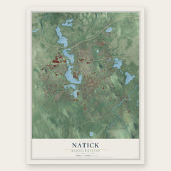
More maps nearby: Southborough, Cordaville, Sudbury, Wayland and Sherborn.
The art of mapping a place
How This Map Was Made
Real places. Remarkable detail. Discover the layers that turn geographic data into a map of home.

The view from above
Aerial imagery reveals the character of the land: woodland, open fields, and the patterns of a place.

The shape of the land
Elevation data brings hills, valleys, and subtle changes in the landscape into view.

The details of home
Roads, waterways, and building footprints come together to make the map feel unmistakably local.

Geography becomes art
Considered color, shading, and typography bring the layers together in a map made for your wall.


Process illustrated with Mendon, Massachusetts. Aerial imagery: USDA NAIP. Terrain: USGS 3D Elevation Program. Map details and finished artwork: KNOWOL.
The Details
About This Print
Choose an archival matte print, or a black or white Ayous wood frame. The archival matte print is unframed.
Select your size and finish above to see the matching product image and price.
Materials & Craftsmanship
A contemporary map with the character of a classic atlas, printed on archival matte paper. Optional frames are made from Ayous wood.
Your printed map does not include the watermark shown in the full-map preview.
Shipping & Delivery
Free shipping within the United States. Every print is made to order in the USA.
Buying a gift? Add a note in your cart and we'll include it. We never put prices in the package.
Prints ship within 2 to 3 business days. Allow 7 to 10 days total from ordering for delivery. Timing may vary during holidays or periods of high order volume.
Read our shipping policy.
Returns and damaged prints
Each print is made to order. Change-of-mind refunds are not available after production.
If your print arrives damaged, misprinted or incorrect, contact support@knowol.com within 30 days of receiving it. Include your order number, photos and a description of the issue.
Read our full refund and replacement policy. For questions about your order, email support@knowol.com.