


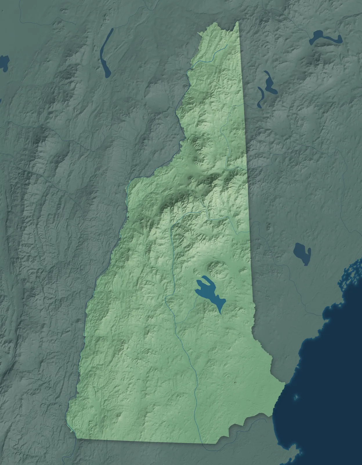
New Hampshire Town Maps A to Z
All 279 town maps. Each one opens its own page with the whole map.
Find your town
We make detailed maps of towns across the country, the way they look today. Type your town or city to see its map.
Browse by State
- Alabama
- Alaska
- American Samoa
- Arizona
- Arkansas
- California
- Colorado
- Connecticut
- Delaware
- Florida
- Georgia
- Guam
- Hawaii
- Idaho
- Illinois
- Indiana
- Iowa
- Kansas
- Kentucky
- Louisiana
- Maine
- Maryland
- Massachusetts
- Michigan
- Minnesota
- Mississippi
- Missouri
- Montana
- Nebraska
- Nevada
- New Jersey
- New Mexico
- New York
- North Carolina
- North Dakota
- Northern Mariana Islands
- Ohio
- Oklahoma
- Oregon
- Pennsylvania
- Puerto Rico
- Rhode Island
- South Carolina
- South Dakota
- Tennessee
- Texas
- U.S. Virgin Islands
- Utah
- Vermont
- Virginia
- Washington
- Washington, D.C.
- West Virginia
- Wisconsin
- Wyoming

Stratham, New Hampshire Map Art

Sugar Hill, New Hampshire Map Art

Suissevale, New Hampshire Map Art

Sullivan, New Hampshire Map Art

Sunapee, New Hampshire Map Art

Suncook, New Hampshire Map Art


Swanzey, New Hampshire Map Art

Tamworth, New Hampshire Map Art


Thornton, New Hampshire Map Art

Tilton Northfield, New Hampshire Map Art


Tuftonboro, New Hampshire Map Art


Wakefield, New Hampshire Map Art

Walpole, New Hampshire Map Art


Washington, New Hampshire Map Art

Waterville Valley, New Hampshire Map Art


Webster, New Hampshire Map Art

Wentworth, New Hampshire Map Art

West Stewartstown, New Hampshire Map Art

West Swanzey, New Hampshire Map Art

Westmoreland, New Hampshire Map Art

Whitefield, New Hampshire Map Art


Winchester, New Hampshire Map Art

Windham, New Hampshire Map Art

Windsor, New Hampshire Map Art

Wolfeboro, New Hampshire Map Art

Woodstock, New Hampshire Map Art

Woodsville, New Hampshire Map Art