Connecticut Town Maps A to Z
All 382 town maps. Each one opens its own page with the whole map.
Find your town
We make detailed maps of towns across the country, the way they look today. Type your town or city to see its map.
Browse by State
- Alabama
- Alaska
- American Samoa
- Arizona
- Arkansas
- California
- Colorado
- Delaware
- Florida
- Georgia
- Guam
- Hawaii
- Idaho
- Illinois
- Indiana
- Iowa
- Kansas
- Kentucky
- Louisiana
- Maine
- Maryland
- Massachusetts
- Michigan
- Minnesota
- Mississippi
- Missouri
- Montana
- Nebraska
- Nevada
- New Hampshire
- New Jersey
- New Mexico
- New York
- North Carolina
- North Dakota
- Northern Mariana Islands
- Ohio
- Oklahoma
- Oregon
- Pennsylvania
- Puerto Rico
- Rhode Island
- South Carolina
- South Dakota
- Tennessee
- Texas
- U.S. Virgin Islands
- Utah
- Vermont
- Virginia
- Washington
- Washington, D.C.
- West Virginia
- Wisconsin
- Wyoming

Jewett City, Connecticut Map Art

Kellogg Point, Connecticut Map Art
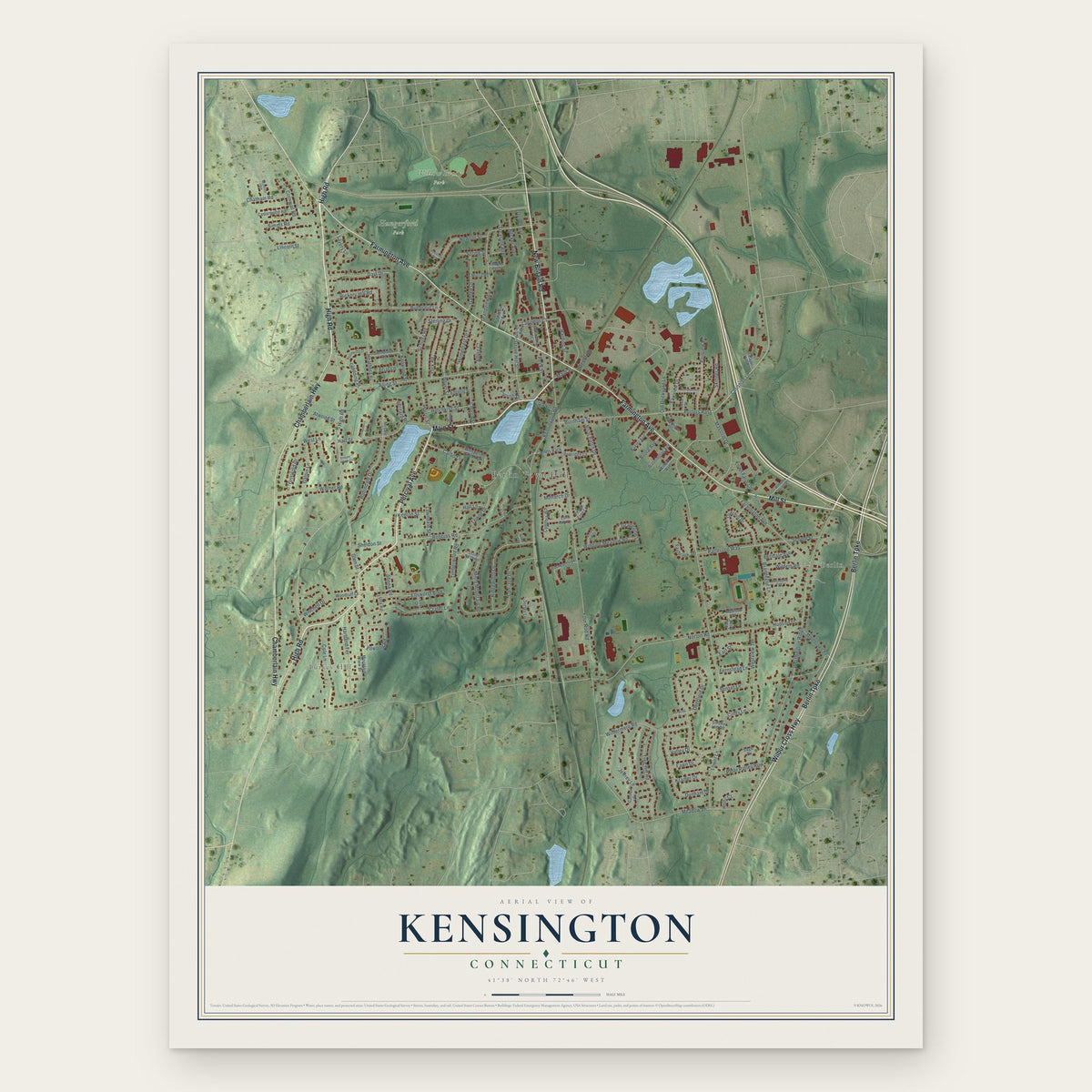
Kensington, Connecticut Map Art


Killingly, Connecticut Map Art

Killingworth, Connecticut Map Art
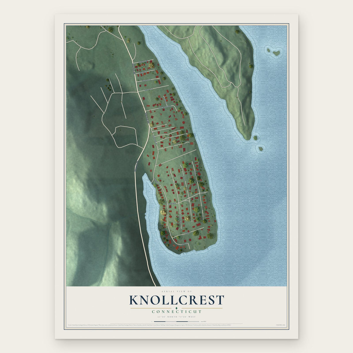
Knollcrest, Connecticut Map Art

Lake Bungee, Connecticut Map Art
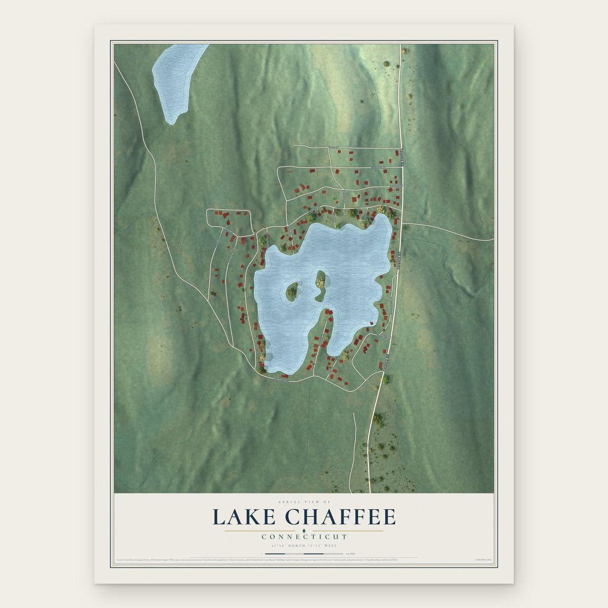
Lake Chaffee, Connecticut Map Art

Lake Lillinonah, Connecticut Map Art

Lake Pocotopaug, Connecticut Map Art
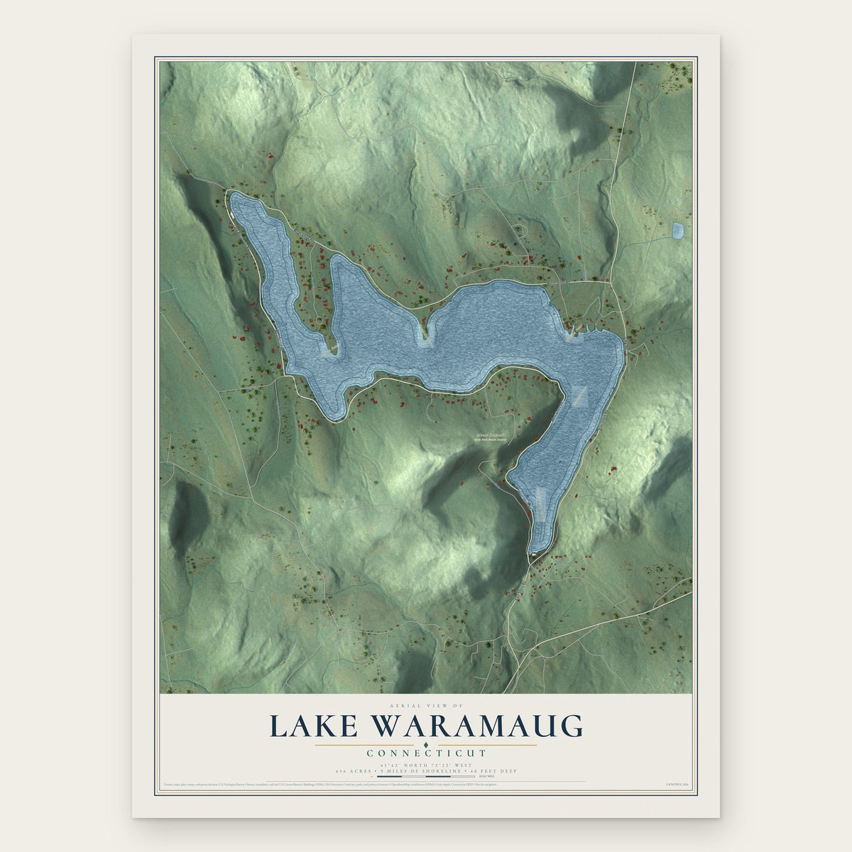
Lake Waramaug, Connecticut Map Art
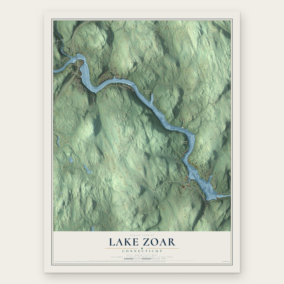
Lake Zoar, Connecticut Map Art

Lakes East, Connecticut Map Art

Lakes West, Connecticut Map Art
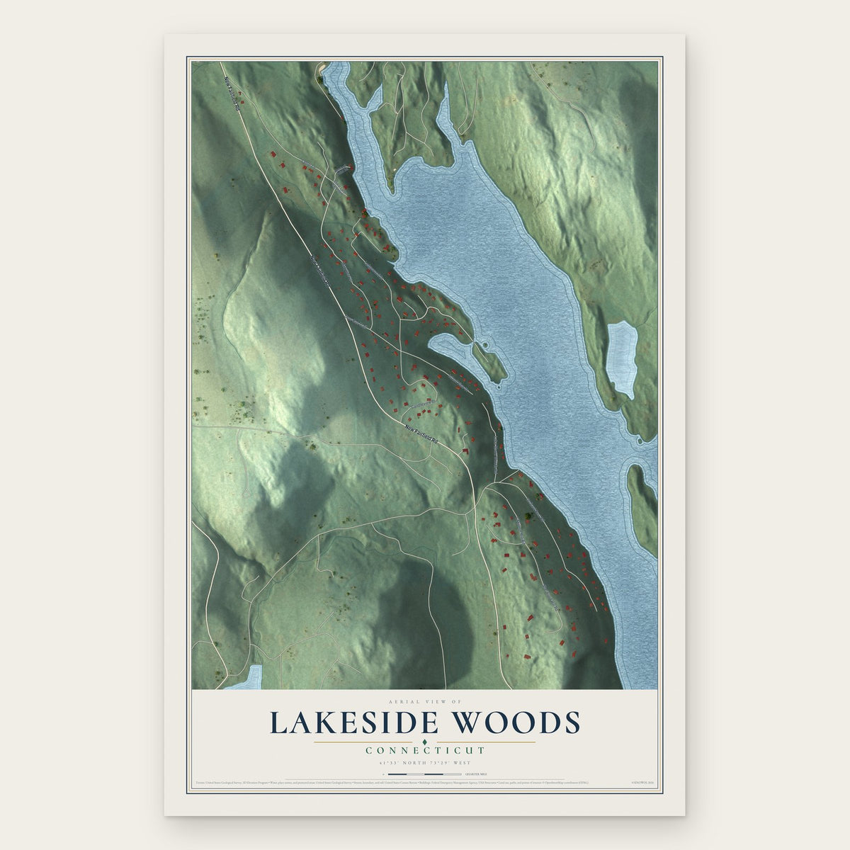
Lakeside Woods, Connecticut Map Art

Lakeville, Connecticut Map Art


Litchfield, Connecticut Map Art

Long Hill, Groton, Connecticut Map Art
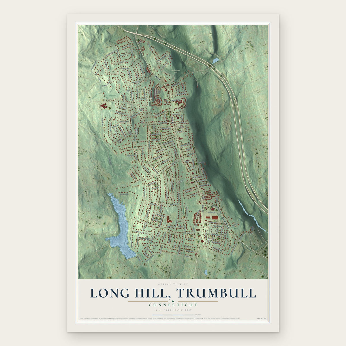
Long Hill, Trumbull, Connecticut Map Art
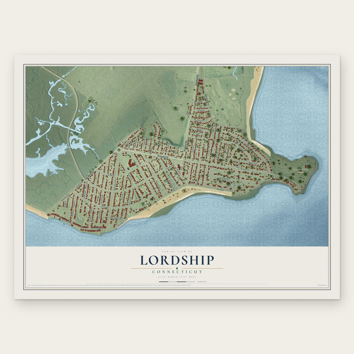

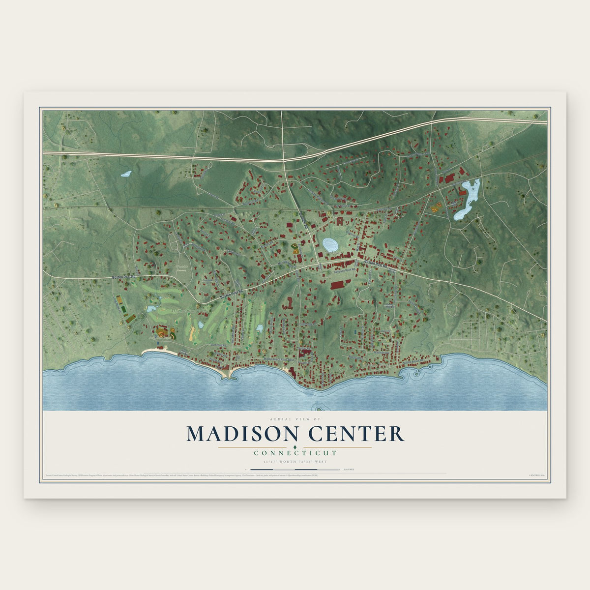
Madison Center, Connecticut Map Art
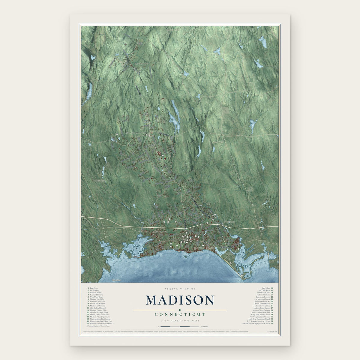

Mamanasco Lake, Connecticut Map Art

Manchester, Connecticut Map Art

Mansfield Center, Connecticut Map Art

Mansfield, Connecticut Map Art

Marlborough, Connecticut Map Art

Mashantucket, Connecticut Map Art

Mechanicsville, Connecticut Map Art

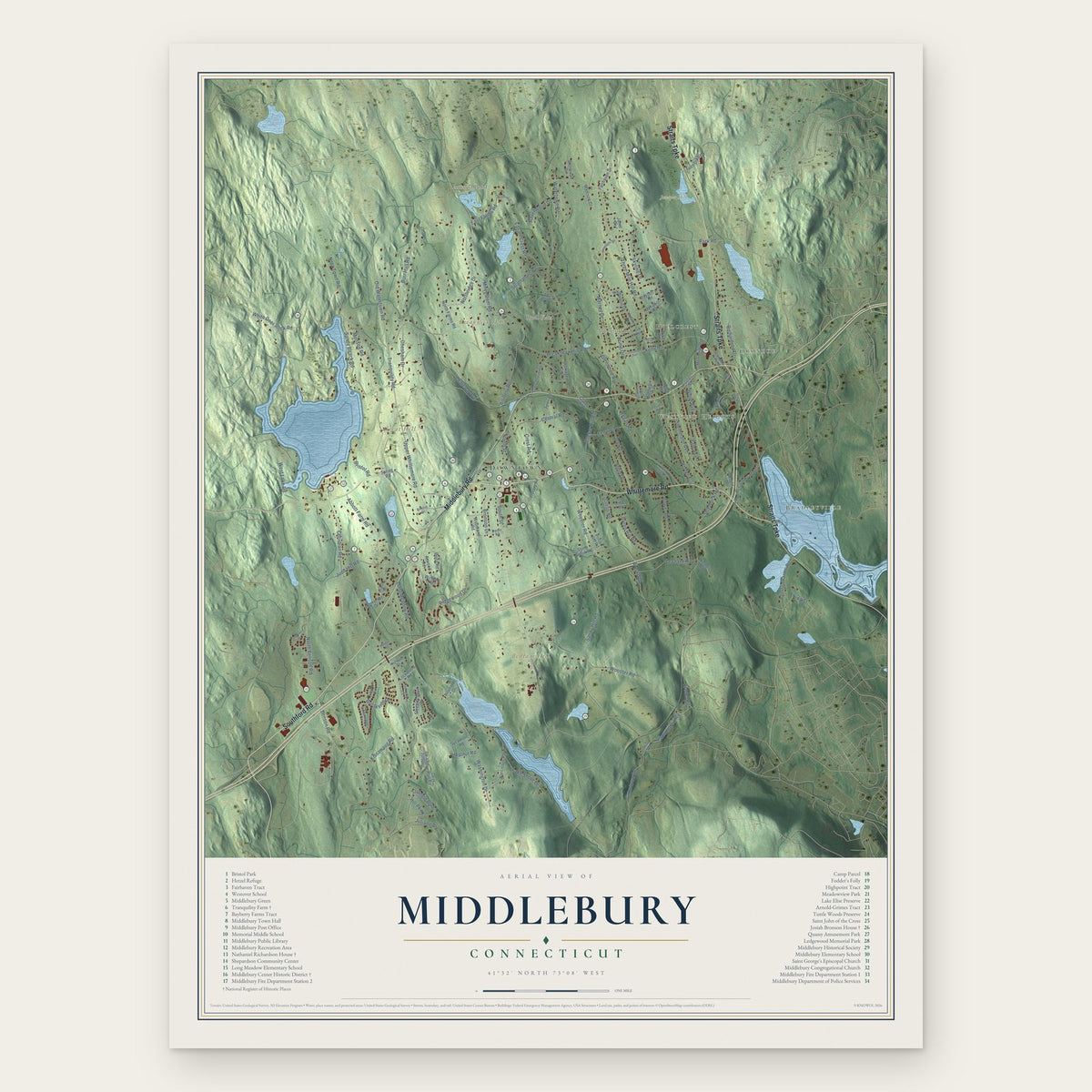
Middlebury, Connecticut Map Art

Middlefield, Connecticut Map Art

Middletown, Connecticut Map Art

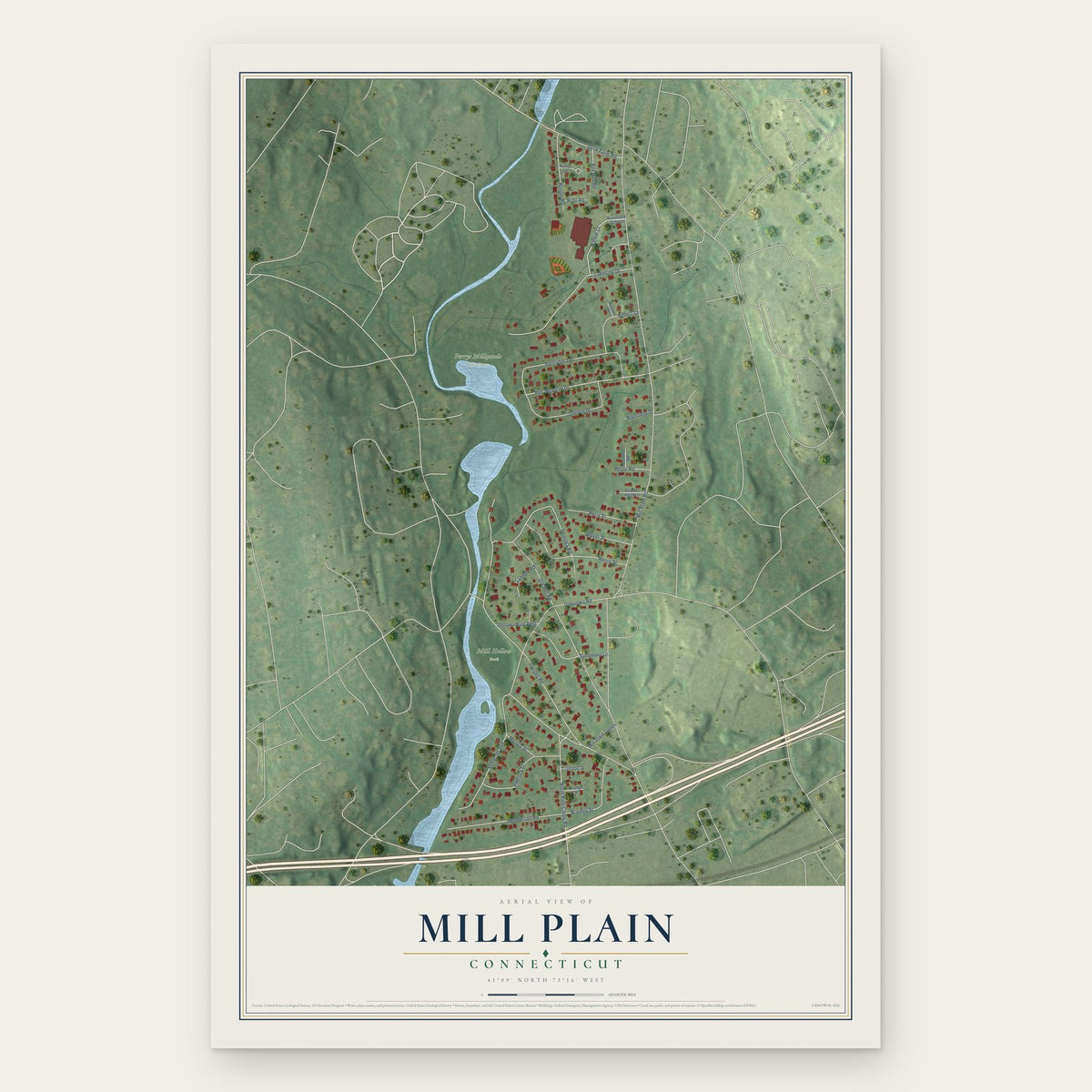
Mill Plain, Connecticut Map Art
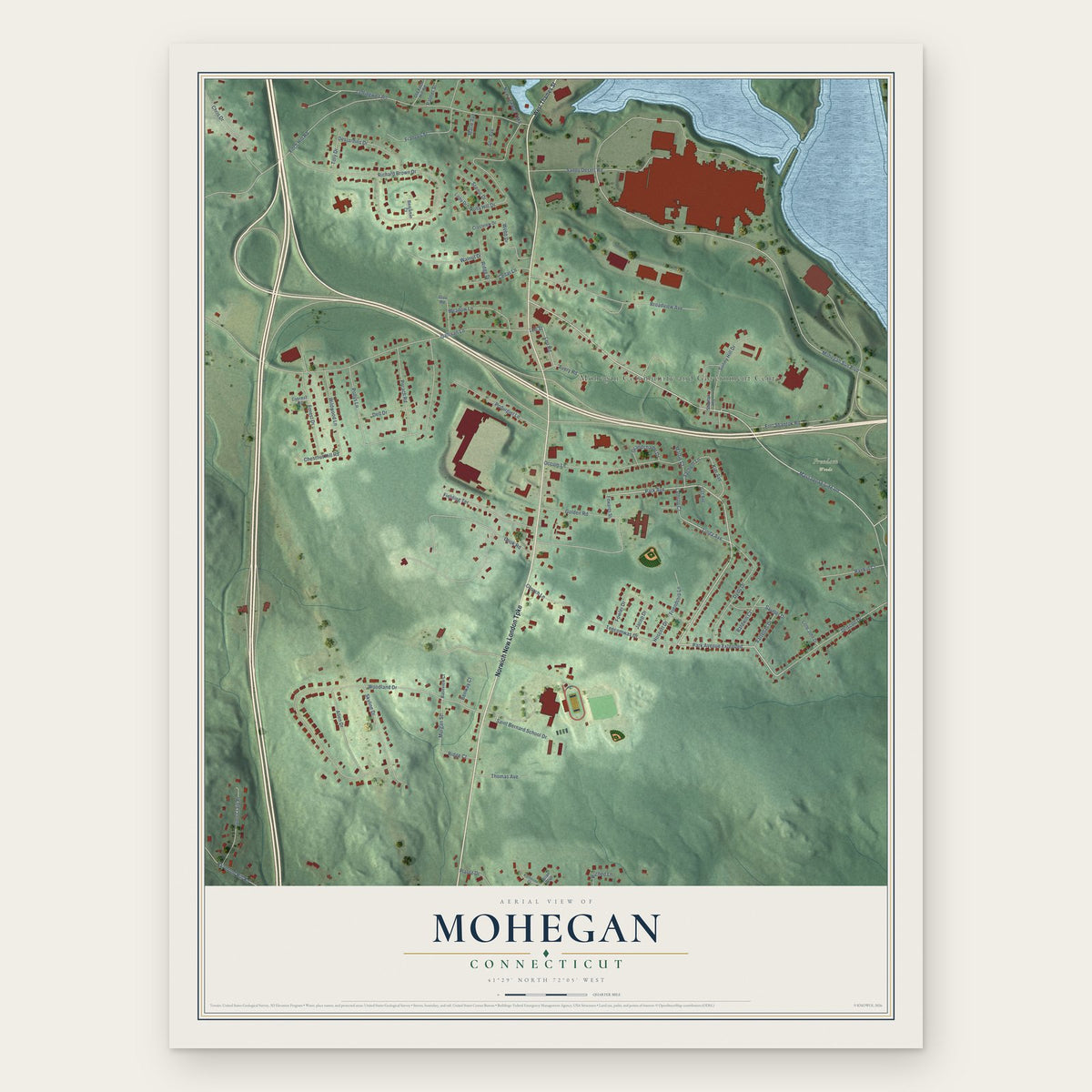

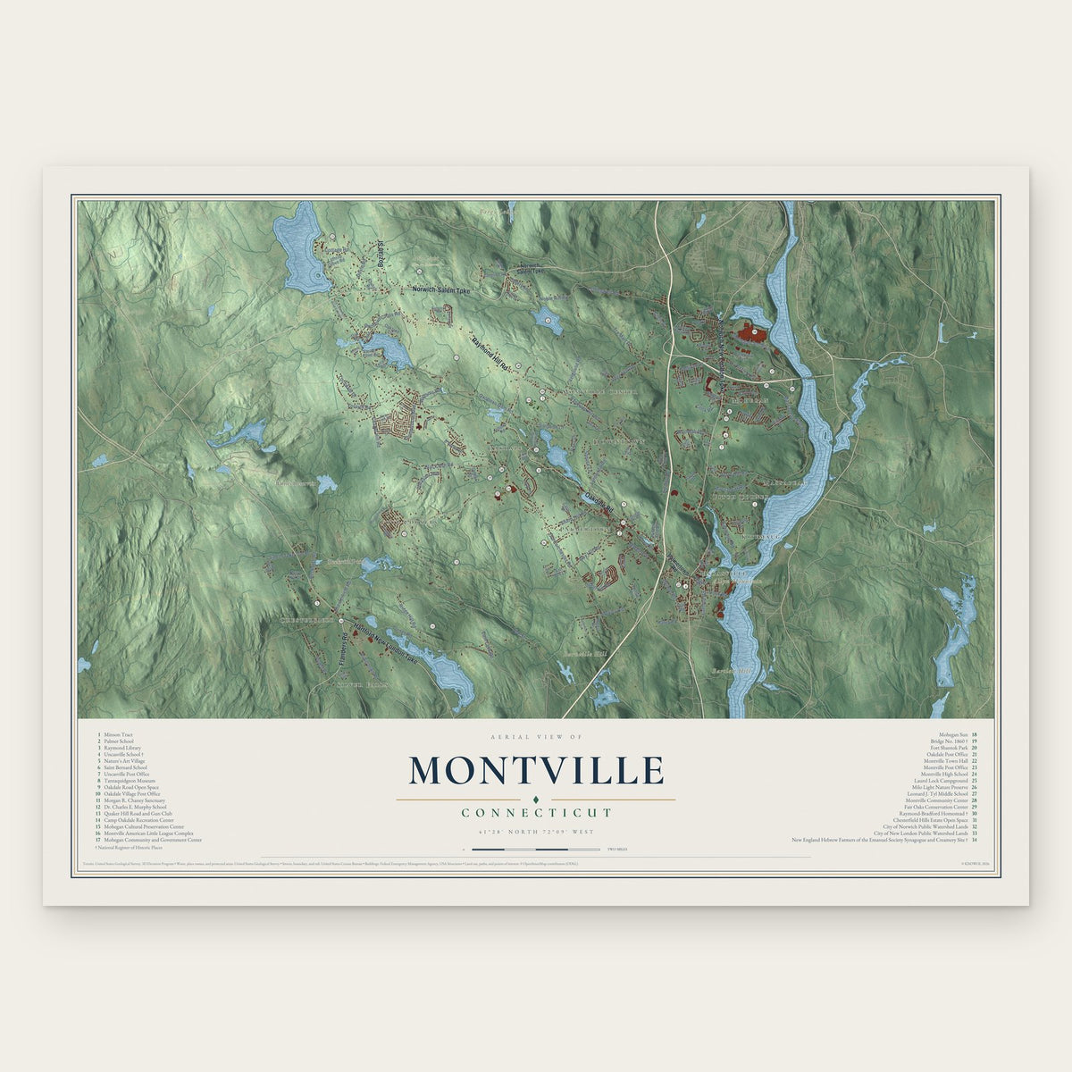
Montville, Connecticut Map Art