


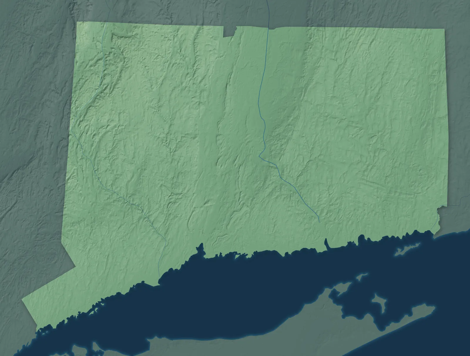
Connecticut Town Maps A to Z
All 382 town maps. Each one opens its own page with the whole map.
Find your town
We make detailed maps of towns across the country, the way they look today. Type your town or city to see its map.
Browse by State
- Alabama
- Alaska
- American Samoa
- Arizona
- Arkansas
- California
- Colorado
- Delaware
- Florida
- Georgia
- Guam
- Hawaii
- Idaho
- Illinois
- Indiana
- Iowa
- Kansas
- Kentucky
- Louisiana
- Maine
- Maryland
- Massachusetts
- Michigan
- Minnesota
- Mississippi
- Missouri
- Montana
- Nebraska
- Nevada
- New Hampshire
- New Jersey
- New Mexico
- New York
- North Carolina
- North Dakota
- Northern Mariana Islands
- Ohio
- Oklahoma
- Oregon
- Pennsylvania
- Puerto Rico
- Rhode Island
- South Carolina
- South Dakota
- Tennessee
- Texas
- U.S. Virgin Islands
- Utah
- Vermont
- Virginia
- Washington
- Washington, D.C.
- West Virginia
- Wisconsin
- Wyoming

Canton Valley, Connecticut Map Art

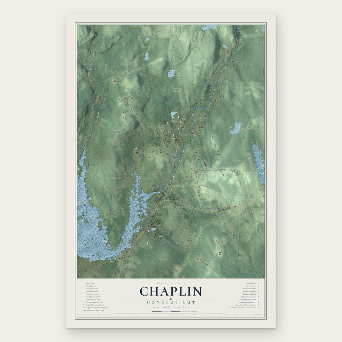

Cheshire Village, Connecticut Map Art

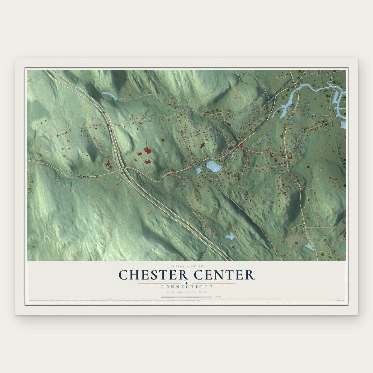
Chester Center, Connecticut Map Art
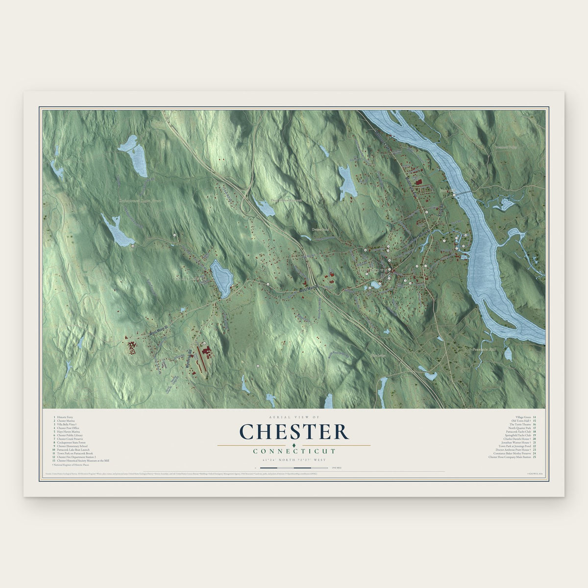

Chimney Point, Connecticut Map Art


Colchester, Connecticut Map Art

Colebrook, Connecticut Map Art

Coleytown, Connecticut Map Art
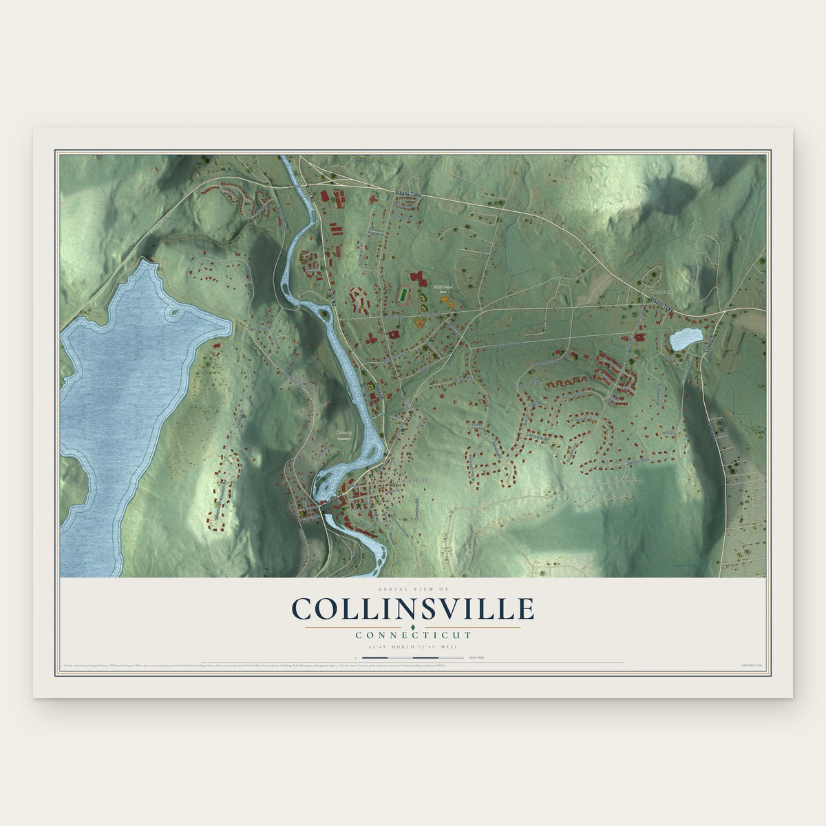
Collinsville, Connecticut Map Art


Cornwall Bridge, Connecticut Map Art


Coventry Lake, Connecticut Map Art


Crystal Lake, Connecticut Map Art


Daniels Farm, Connecticut Map Art

Danielson, Connecticut Map Art

Darien Downtown, Connecticut Map Art


Deep River Center, Connecticut Map Art

Deep River, Connecticut Map Art

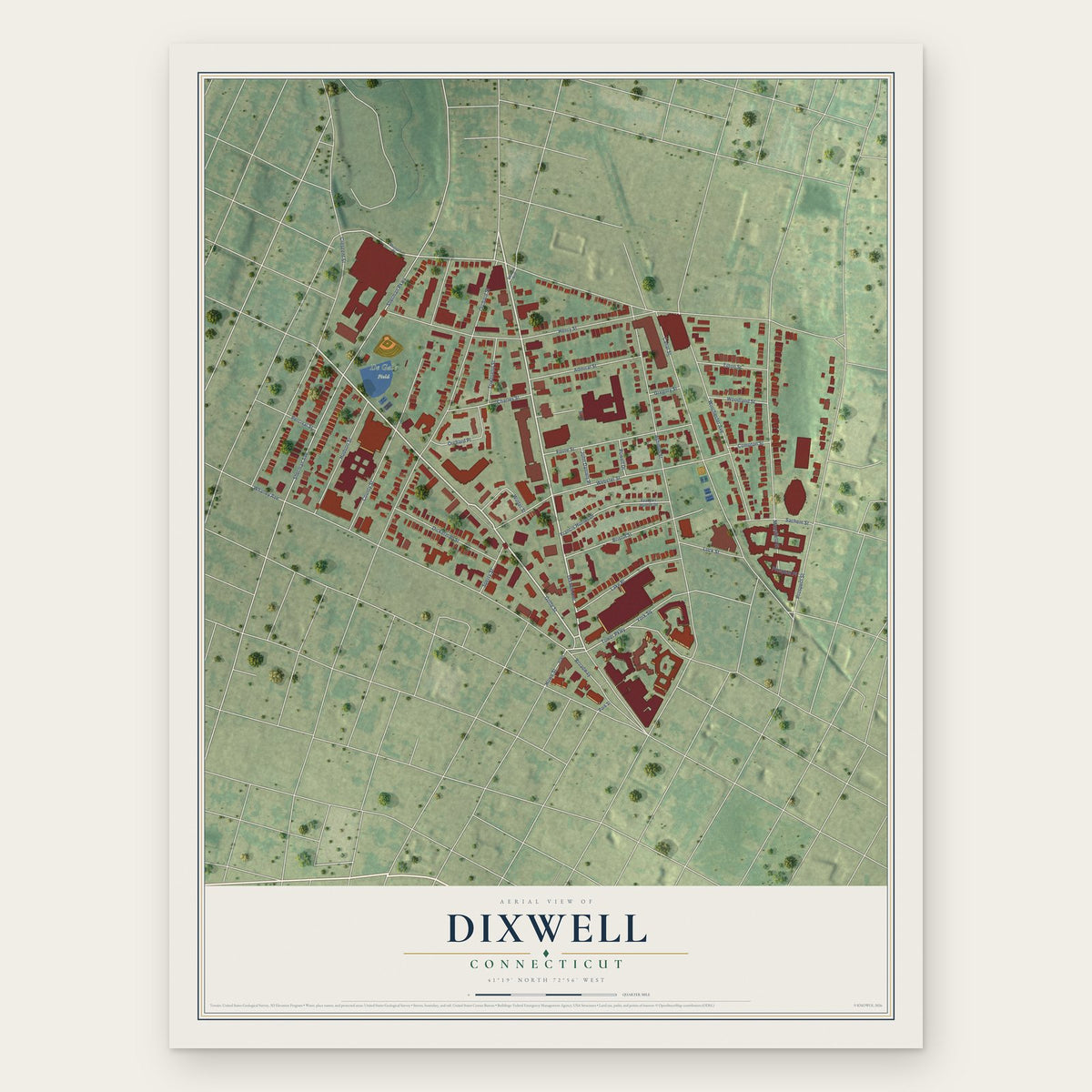

Dodgingtown, Connecticut Map Art

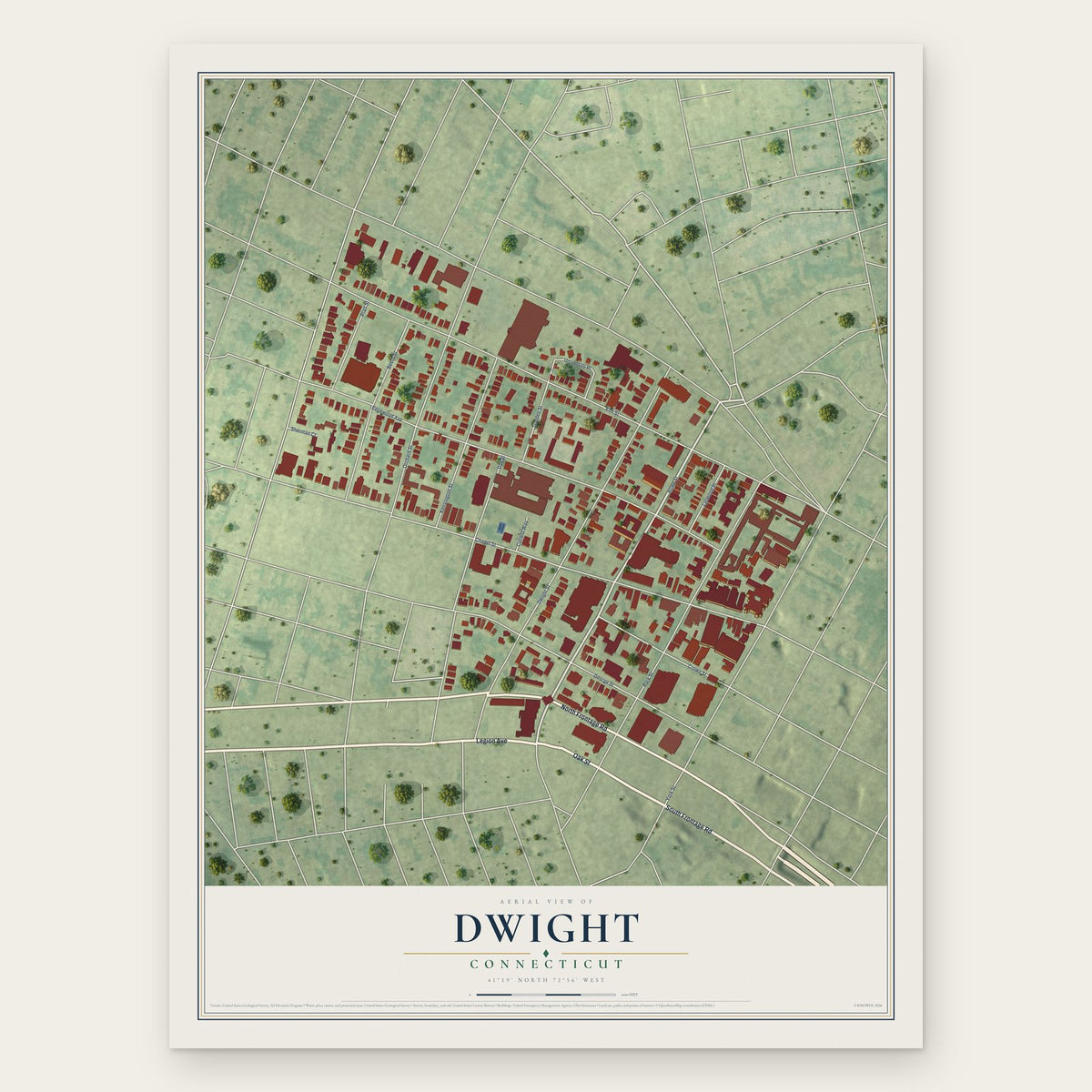

East Brooklyn, Connecticut Map Art
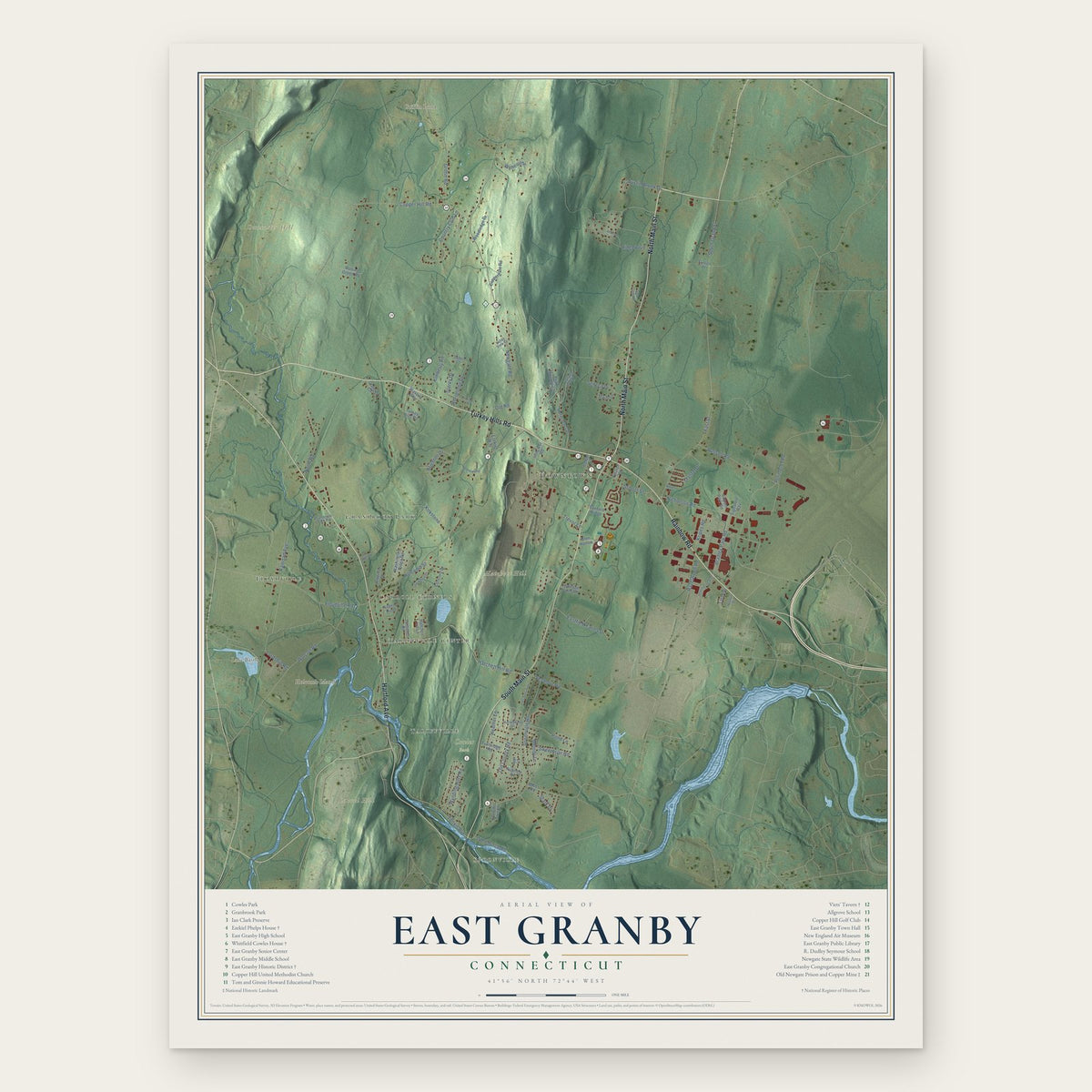
East Granby, Connecticut Map Art

East Haddam, Connecticut Map Art

East Hampton, Connecticut Map Art

East Hartford, Connecticut Map Art
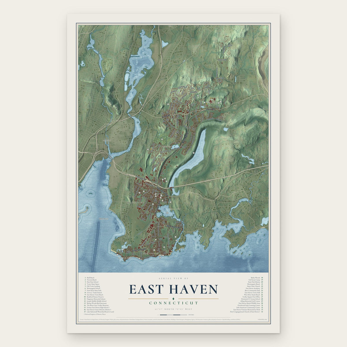
East Haven, Connecticut Map Art

East Lyme, Connecticut Map Art

East Rock, Connecticut Map Art
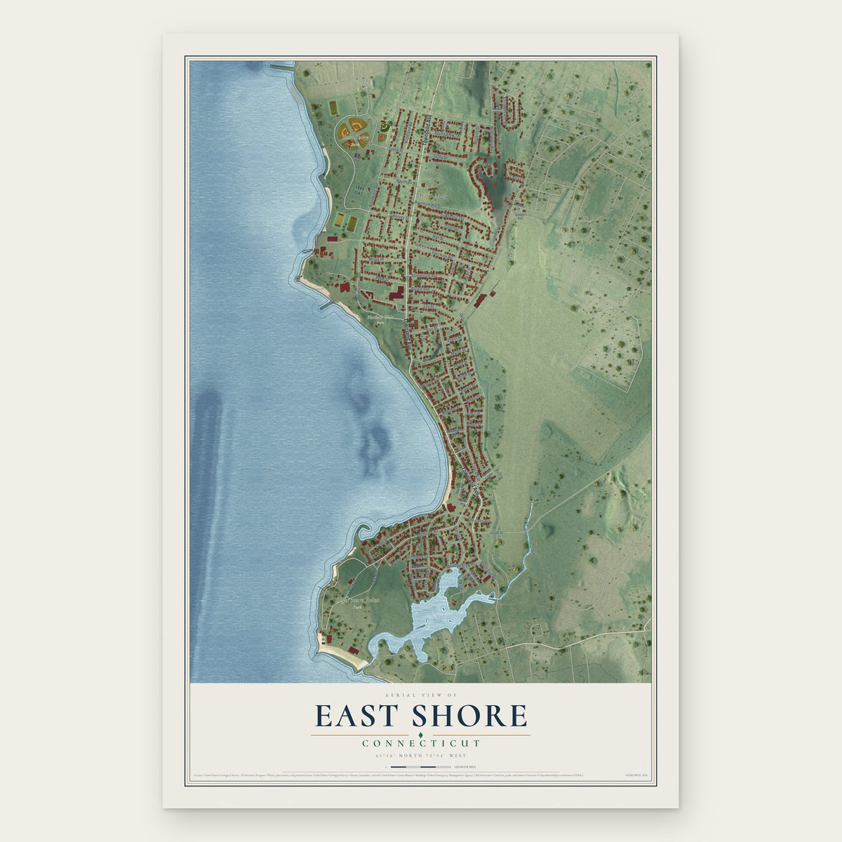
East Shore, Connecticut Map Art

East Village, Connecticut Map Art
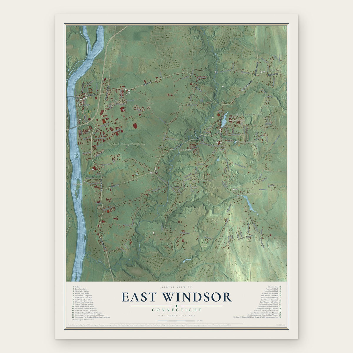
East Windsor, Connecticut Map Art
